The Book Depository
United Kingdom
2015
» Click to open
Stanfords
United Kingdom
2015
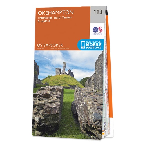
  • Okehampton - Hatherleigh, North Tawton & Lapford OS Explorer Map 113 (paper)
  • Okehampton, Hatherleigh, North Tawton and Lapford area on a detailed topographic and GPS compatible map No. 113, paper version, from the Ordnance Survey’s 1:25,000 Explorer series.MOBILE DOWNLOADS: this title and all the other OS Explorer maps include a code for downloading after purchase the digital version onto your smartphone or tablet for... Read more
» Click to close
The Book Depository
United Kingdom
2015
» Click to open
Stanfords
United Kingdom
2015
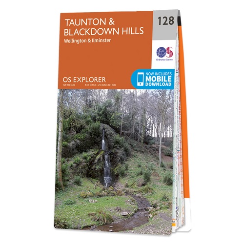
  • Taunton & Blackdown Hills - Wellington & Ilminster OS Explorer Map 128 (paper)
  • Taunton, Blackdown Hills, Wellington and Ilminster area on a detailed topographic and GPS compatible map No. 128, paper version, from the Ordnance Survey’s 1:25,000 Explorer series.MOBILE DOWNLOADS: this title and all the other OS Explorer maps include a code for downloading after purchase the digital version onto your smartphone or tablet for... Read more
» Click to close
The Book Depository
United Kingdom
The Book Depository
United Kingdom
2021
» Click to open
De Zwerver
Netherlands
2021
» Click to close
The Book Depository
United Kingdom
2021
» Click to open
» Click to close
The Book Depository
United Kingdom
2015
» Click to open
Stanfords
United Kingdom
2015
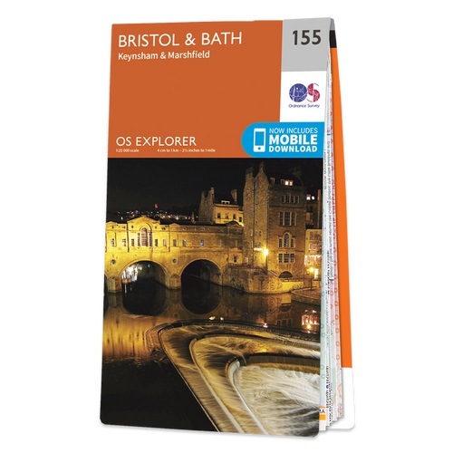
  • Bristol & Bath - Keynsham & Marshfield OS Explorer Map 155 (paper)
  • Bristol, Bath, Keynsham and Marshfield area on a detailed topographic and GPS compatible map No. 155, paper version, from the Ordnance Survey’s 1:25,000 Explorer series. MOBILE DOWNLOADS: this title and all the other OS Explorer maps include a code for downloading after purchase the digital version onto your smartphone or tablet for viewing on... Read more
» Click to close
The Book Depository
United Kingdom
2020
» Click to open
Stanfords
United Kingdom
2020
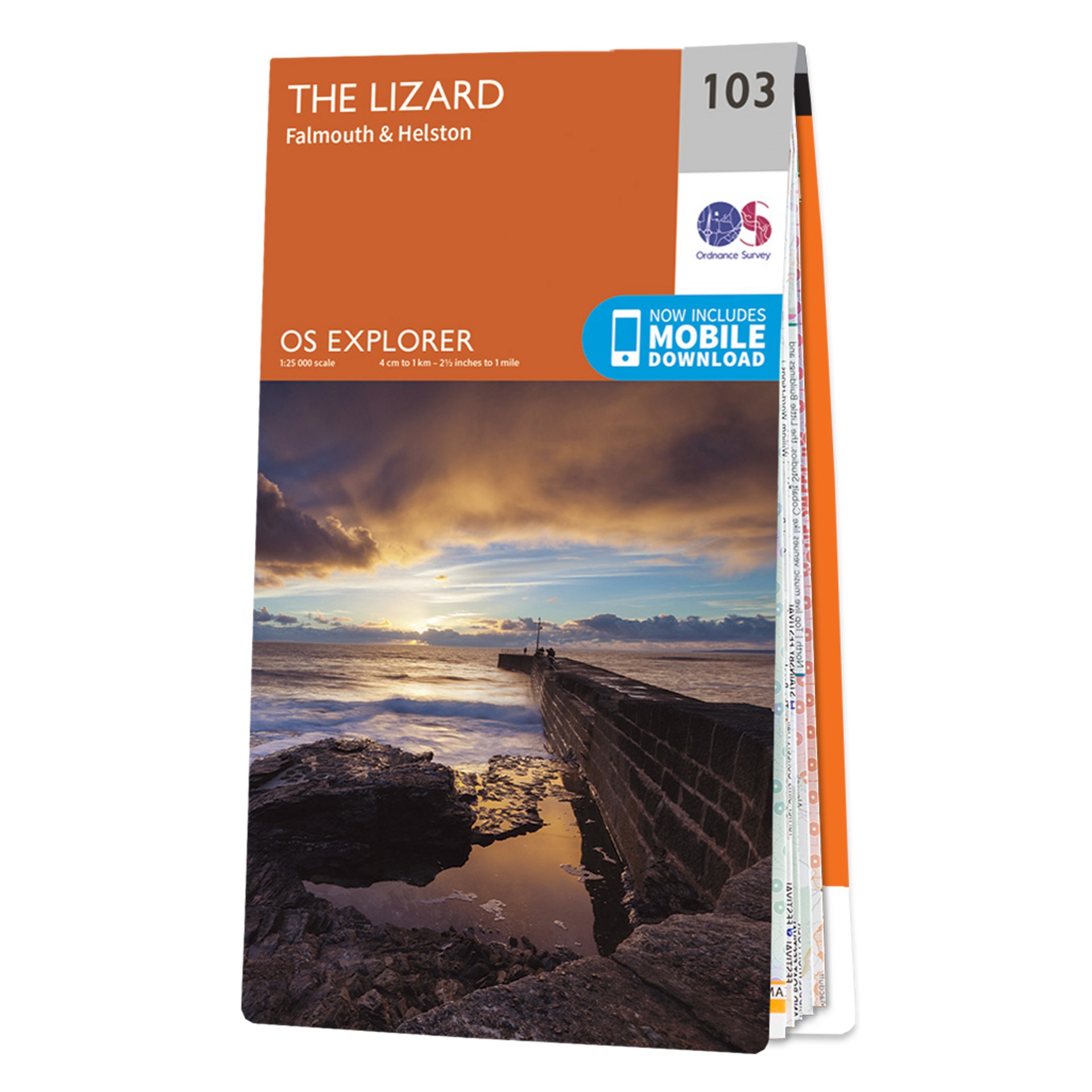
  • The Lizard - Falmouth & Helston OS Explorer Map 103 (paper)
  • The Lizard with Falmouth and Helston area on a detailed topographic and GPS compatible map No. 103, paper version, from the Ordnance Survey’s 1:25,000 Explorer series. MOBILE DOWNLOADS: this title and all the other OS Explorer maps include a code for downloading after purchase the digital version onto your smartphone or tablet for viewing on... Read more
» Click to close
The Book Depository
United Kingdom
2021
» Click to open
De Zwerver
Netherlands
2021
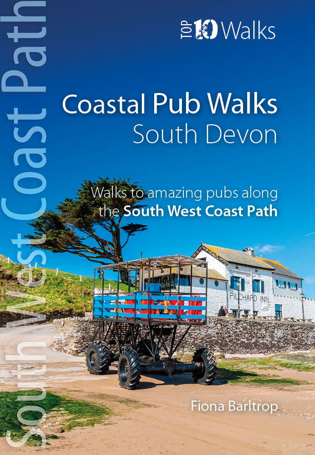
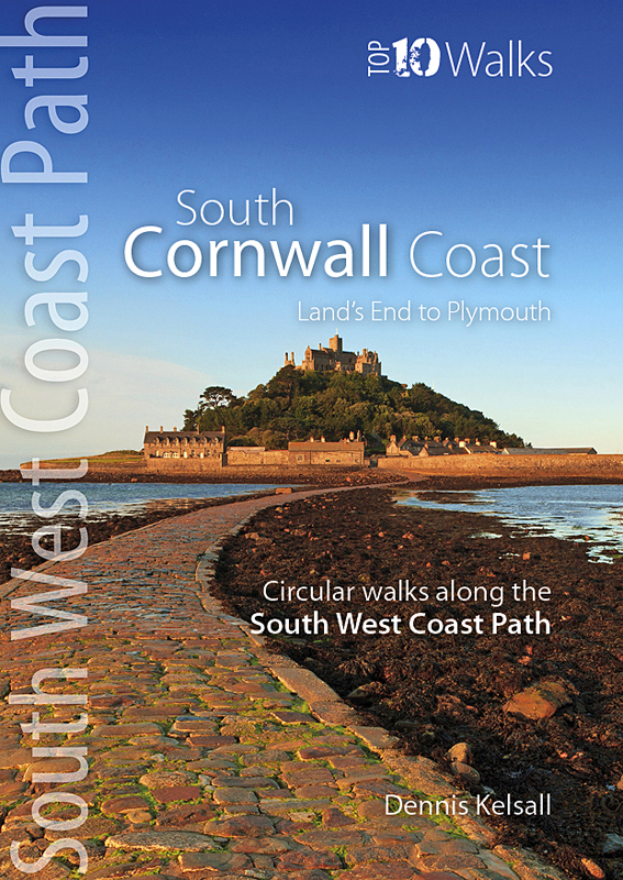
  • Wandelgids Coastal Pub Walks: South Devon | Northern Eye Books
  • One of seven books in the new Top 10 Walks: South West Coast Path series, these attractive and cleverly structured guides will give walkers ten of the best short circular walks along each of the five ssections fo the 630-muile long Sout West Coast Path in a popular pocket-size format.With clear information, an overview and introcution for each... Read more
Stanfords
United Kingdom
2021
» Click to close
The Book Depository
United Kingdom
» Click to open
Stanfords
United Kingdom
» Click to close
The Book Depository
United Kingdom
2015
» Click to open
Stanfords
United Kingdom
2015
» Click to close
The Book Depository
United Kingdom
2015
» Click to open
Stanfords
United Kingdom
2015
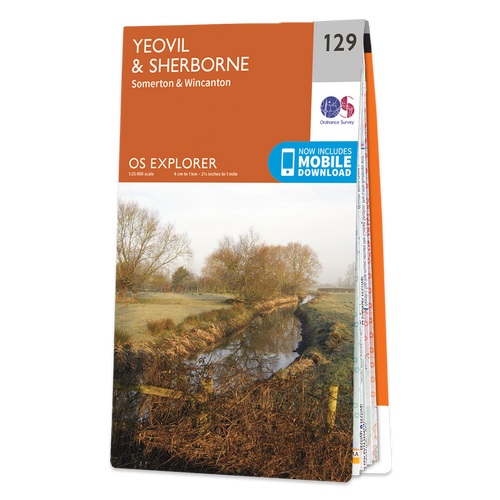
  • Yeovil & Sherborne - Somerton & Wincanton OS Explorer Map 129 (paper)
  • Yeovil, Sherborne, Somerton and Wincanton area on a detailed topographic and GPS compatible map No. 129, paper version, from the Ordnance Survey’s 1:25,000 Explorer series.MOBILE DOWNLOADS: this title and all the other OS Explorer maps include a code for downloading after purchase the digital version onto your smartphone or tablet for viewing... Read more
» Click to close
The Book Depository
United Kingdom
The Book Depository
United Kingdom
2019
» Click to open
De Zwerver
Netherlands
2019
Stanfords
United Kingdom
2019
» Click to close
The Book Depository
United Kingdom
2015
» Click to open
Stanfords
United Kingdom
2015
» Click to close
The Book Depository
United Kingdom
» Click to open
Stanfords
United Kingdom
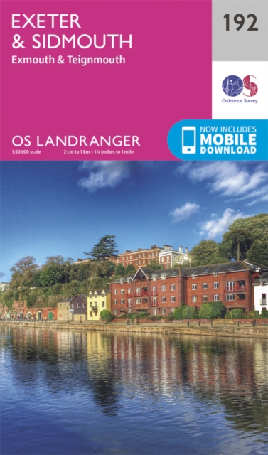
  • Exeter, Sidmouth, Exmouth & Teignmouth OS Landranger Map 192 (paper)
  • Exeter and Sidmouth area, including a section of the South West Coast Path / E9 European Long-distance Path, on a paper version of map No. 192 from the Ordnance Survey’s Landranger series at 1:50,000, with contoured and GPS compatible topographic mapping plus tourist information.MOBILE DOWNLOADS: As well as the physical edition of the map, each... Read more
» Click to close