
Virginia
Beschreibung
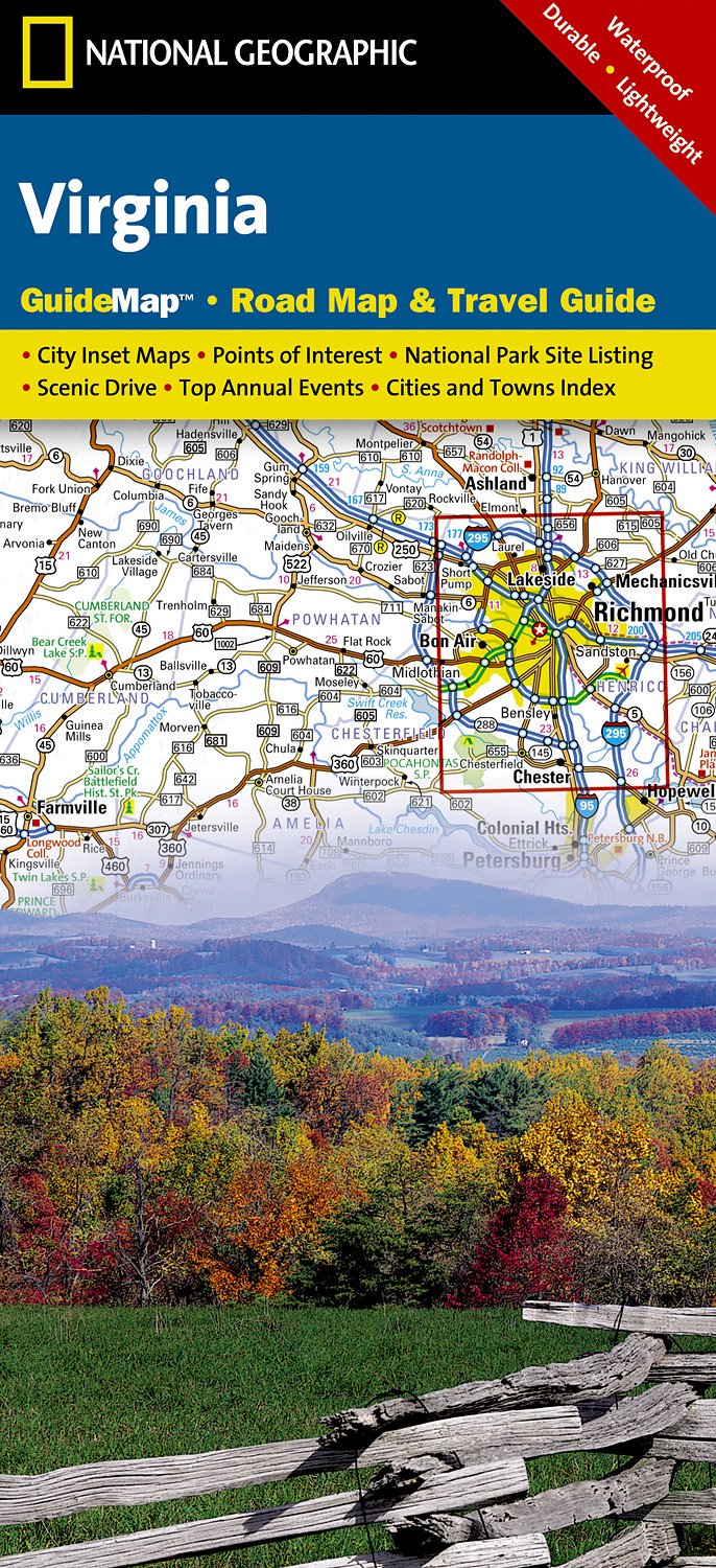
Virginia, on the Atlantic Ocean, hosts a large part of the Appalachian Trail, some 550 miles.
Other lengthy long distance trails passing through Virginia are the East Coast Greenway, the Eastern Continental Trail and the Great Eastern Trail.
The Tuscarora Trail is 252 miles long, and besides Virginia, it runs across Maryland, Pennsylvania and West Virginia. Also with West Virginia, it shares the Allegheny Trail, 330 miles.
Parks of interest for hiking are the Shenandoah National Park and Jefferson National Forest, both in the Blue Ridge Mountains, and the Washington National Forest.
Karte

Wanderwege Landesteil
Links
Fakten
Berichte
Führer und Karten
Übernachtung
Organisationen
Reisebüros
GPS
Sonstiges
Bücher


The Book Depository
United Kingdom
United Kingdom
- A Child's Walk in the Wilderness
- An 8-Year-Old Boy and His Father Take on the Appalachian Trail Read more

The Book Depository
United Kingdom
2019
United Kingdom
2019
- Madeira Guide
- 100 long and short walks with detailed maps and GPS; 6 car tours with pull-out map Read more
- Also available from:
- Stanfords, United Kingdom

Stanfords
United Kingdom
2019
United Kingdom
2019
- Madeira Sunflower Landscape Guide
- Pocket-sized full-colour guides describing car tours, walks and countryside picnics - all illustrated with photographs and large-scale maps. Dubbed the ‘blue Bibles‘ by the Sunday Times, the series aims to get visitors away from the crowded tourist centres and out into the countryside, by car or on foot.• Sunflower`s best-selling guide, the... Read more


The Book Depository
United Kingdom
2019
United Kingdom
2019
- Tour du Mont Blanc
- The World's most famous trek - everything you need to know to plan and walk it Read more
- Also available from:
- De Zwerver, Netherlands
- Stanfords, United Kingdom
De Zwerver
Netherlands
2019
Netherlands
2019
- Wandelgids Tour Du Mont Blanc | Knife Edge Outdoor
- The World's most famous trek - everything you need to know to plan and walk it Read more

Stanfords
United Kingdom
2019
United Kingdom
2019
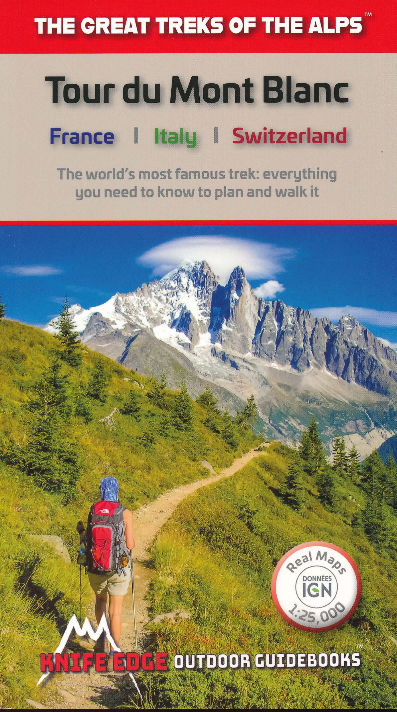
- Tour du Mont Blanc: The World`s most famous trek - everything you need to know to plan and walk it
- The world`s most famous trek: everything you need to know to plan and walk the Tour du Mont Blanc which starts near Chamonix. An epic journey around the mighty Mont Blanc, the highest peak in the Alps. 174km; 7-12 days; 9700m of altitude gain; 14 mountain passes; 3 countries, France, Italy and Switzerland. Unspoilt and remote high mountain... Read more

The Book Depository
United Kingdom
United Kingdom
- Backpacking Virginia
- The Definitive Guide to 40 Can't-Miss Trips from Cumberland Gap to the Atlantic Ocean Read more


The Book Depository
United Kingdom
2022
United Kingdom
2022
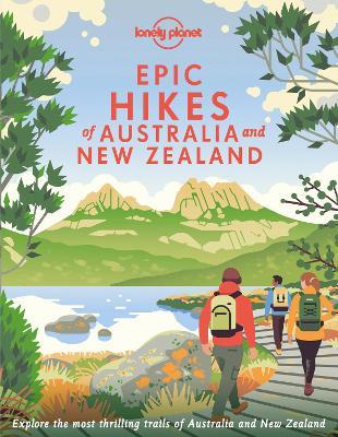
- Lonely Planet Epic Hikes of Australia & New Zealand
- Lace up your hiking boots for the next in Lonely Planet`s highly successful Epic Hikes series, this time exploring 50 of Australia and New Zealand`s most rewarding treks and trails. From the Routeburn Track in New Zealand`s South Island to the Cape to Cape walk in Western Australia`s Leeuwin-Naturaliste National Park, we cover a huge variety of... Read more
- Also available from:
- De Zwerver, Netherlands
- Stanfords, United Kingdom
De Zwerver
Netherlands
2022
Netherlands
2022
- Wandelgids Hikes of Australia and New Zealand | Lonely Planet
- Lace up your hiking boots for the next in Lonely Planet`s highly successful Epic Hikes series, this time exploring 50 of Australia and New Zealand`s most rewarding treks and trails. From the Routeburn Track in New Zealand`s South Island to the Cape to Cape walk in Western Australia`s Leeuwin-Naturaliste National Park, we cover a huge variety of... Read more

Stanfords
United Kingdom
2022
United Kingdom
2022
- Epic Hikes of Australia & New Zealand
- Lace up your hiking boots for the next in Lonely Planet`s highly successful Epic Hikes series, this time exploring 50 of Australia and New Zealand`s most rewarding treks and trails. From the Routeburn Track in New Zealand`s South Island to the Cape to Cape walk in Western Australia`s Leeuwin-Naturaliste National Park, we cover a huge variety of... Read more


The Book Depository
United Kingdom
United Kingdom
- How To Get Started With Potty Training
- Great Advice For Successful Potty Training: Parenting Infants Read more

The Book Depository
United Kingdom
United Kingdom
- Chicas on the Appalachian Trail
- Women-Specific Tips for Thru-Hiking the Appalachian Trail and Conversations with Badass Women Hikers Read more

The Book Depository
United Kingdom
United Kingdom
- Sauntering Thru
- Lessons in Ambition, Minimalism, and Love on the Appalachian Trail Read more


The Book Depository
United Kingdom
United Kingdom
- Cheshire Year Round Walks
- These 20 circular walks vary in length from 3 1/2 to 7 1/2 miles and are enjoyable all year the round. The author has divided the routes into seasons to show each at its very best. In spring, Macclesfield Forest is dotted with heron`s nests and the woods near Dutton are a sea of bluebells. On a summer`s day you can spot seals near Hilbre... Read more
- Also available from:
- Stanfords, United Kingdom

Stanfords
United Kingdom
United Kingdom
- Cheshire Year Round Walks
- These 20 circular walks vary in length from 3 1/2 to 7 1/2 miles and are enjoyable all year the round. The author has divided the routes into seasons to show each at its very best. In spring, Macclesfield Forest is dotted with heron`s nests and the woods near Dutton are a sea of bluebells. On a summer`s day you can spot seals near Hilbre... Read more
Karten

- Also available from:
- De Zwerver, Netherlands
- Stanfords, United Kingdom


Stanfords
United Kingdom
United Kingdom
- Glocknergruppe - Matrei - Kals - Heiligenblut Tabacco 076
- This Tabacco topographic map at 1:25,000 (1cm = 250m) covers the Alta Via routes, as well as the Via Ferrata where you get further than the ordinary walker with the help of steel ladders. Additional information includes: symbols to indicate 6 different types of accommodation from mountain hut, hotel to camping site. As well as information on... Read more

The Book Depository
United Kingdom
2018
United Kingdom
2018
- Ben Nevis and Glen Coe
- Waterproof mountain map of Ben Nevis & Glen Coe from Harvey at 1:40,000, with a geological map of the region on the reverse, an enlargement of Ben Nevis' summit, and advice on navigating the region safely.MAIN MAP: Topography is shown through clear altitude shading, spot heights, contours at 15m intervals, and index contours at 75m intervals. A... Read more
- Also available from:
- De Zwerver, Netherlands
- Stanfords, United Kingdom

De Zwerver
Netherlands
2018
Netherlands
2018
- Wandelkaart Ben Nevis & Glen Coe | Harvey Maps
- Waterproof mountain map of Ben Nevis & Glen Coe from Harvey at 1:40,000, with a geological map of the region on the reverse, an enlargement of Ben Nevis' summit, and advice on navigating the region safely.MAIN MAP: Topography is shown through clear altitude shading, spot heights, contours at 15m intervals, and index contours at 75m intervals. A... Read more

Stanfords
United Kingdom
2018
United Kingdom
2018
- Ben Nevis & Glen Coe Harvey British Mountain Map XT40
- Waterproof mountain map of Ben Nevis & Glen Coe from Harvey at 1:40,000, with a geological map of the region on the reverse, an enlargement of Ben Nevis` summit, and advice on navigating the region safely.*MAIN MAP:* Topography is shown through clear altitude shading, spot heights, contours at 15m intervals, and index contours at 75m intervals.... Read more

De Zwerver
Netherlands
2019
Netherlands
2019
- Reisgids Iceland Road Guide | Vegahandbokin
- Iceland Road Guide from Vegahandbókin, an exceptionally comprehensive, 605-page guide with region-by-region descriptions of sites accompanied by road maps and street plans, plus a separate road atlas section covering the whole country at 1:500,000 and information on a wide variety of tourism relating topics to help the user get the best of... Read more
- Also available from:
- Stanfords, United Kingdom

Stanfords
United Kingdom
2019
United Kingdom
2019
- Iceland Road Guide
- Iceland Road Guide from Vegahandbókin, an exceptionally comprehensive, 605-page guide with region-by-region descriptions of sites accompanied by road maps and street plans, plus a separate road atlas section covering the whole country at 1:500,000 and information on a wide variety of tourism relating topics to help the user get the best of... Read more
De Zwerver
Netherlands
Netherlands
- Wandelkaart - Topografische kaart 773 New River Blueway | National Geographic
- Prachtige geplastificeerde kaart van het bekende nationaal park. Met alle recreatieve voorzieningen als campsites, maar ook met topografische details en wandelroutes ed. Door uitgekiend kleurgebruik zeer prettig in gebruik. Scheur en watervast! George Washington Nat. Forest, Jefferson Nat. Forest, New River Canoe Trail, Claytor Lake State Park,... Read more
- Also available from:
- Stanfords, United Kingdom

Stanfords
United Kingdom
United Kingdom
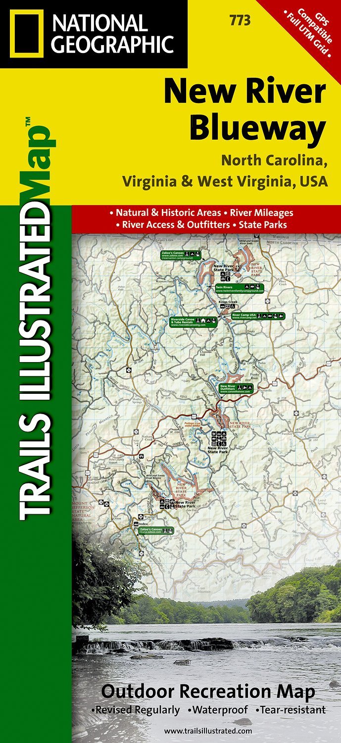
- New River Blueway NC/VA/WV
- Map No. 773, New River Blueway, NC/VA/WV, in an extensive series of GPS compatible, contoured hiking maps of USA’s national and state parks or forests and other popular recreational areas. Cartography based on the national topographic survey, with additional tourist information.The maps, with most titles now printed on light, waterproof and... Read more
De Zwerver
Netherlands
Netherlands
- Wandelkaart - Topografische kaart 772 Delmarva Peninsula | National Geographic
- Prachtige geplastificeerde kaart van het bekende nationaal park. Met alle recreatieve voorzieningen als campsites, maar ook met topografische details en wandelroutes ed. Door uitgekiend kleurgebruik zeer prettig in gebruik. Scheur en watervast! The new Delmarva Trails Illustrated regional topographic recreation map covers all major recreation... Read more
- Also available from:
- Stanfords, United Kingdom

Stanfords
United Kingdom
United Kingdom
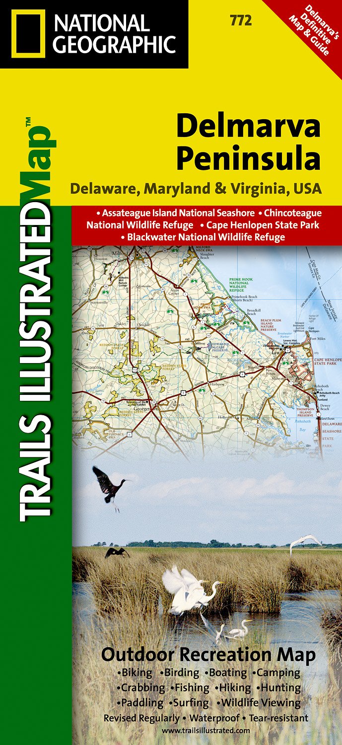
- DelMarVa Peninsula - Delaware - Maryland - Virginia Recreational Map
- Map No. 772, DelMarVa Peninsula (Delaware, Maryland, Virginia) Recreational Map, in an extensive series of GPS compatible, contoured hiking maps of USA’s national and state parks or forests and other popular recreational areas. Cartography based on the national topographic survey, with additional tourist information.The maps, with most titles... Read more

Stanfords
United Kingdom
United Kingdom
- Damodar Himal
- Damodar Himal, sheet no. 2884-01, in the topographic survey of Nepal at 1:50,000 published by the Nepali Government in the late 1990s and early 2000s and produced from remote sensing data by Finnish cartographers as part of that country’s international aid program. The maps cover 15’ x 15’ quadrangles.IMPORTANT – PLEASE NOTE BEFORE ORDERING:... Read more
Stanfords
United Kingdom
United Kingdom
- Tilicho
- Tilicho, sheet no. 2883-08, in the topographic survey of Nepal at 1:50,000 published by the Nepali Government in the late 1990s and early 2000s and produced from remote sensing data by Finnish cartographers as part of that country’s international aid program. The maps cover 15’ x 15’ quadrangles.IMPORTANT – PLEASE NOTE BEFORE ORDERING:... Read more
Stanfords
United Kingdom
United Kingdom
- Hatiya
- Hariya, sheet no. 2787-06, in the topographic survey of Nepal at 1:50,000 published by the Nepali Government in the late 1990s and early 2000s and produced from remote sensing data by Finnish cartographers as part of that country’s international aid program. The maps cover 15’ x 15’ quadrangles.IMPORTANT – PLEASE NOTE BEFORE ORDERING:... Read more
Stanfords
United Kingdom
United Kingdom
- Ganesh Himal 2885-09
- Ganesh Himal, sheet no. 2885-09, in the topographic survey of Nepal at 1:50,000 published by the Nepali Government in the late 1990s and early 2000s and produced from remote sensing data by Finnish cartographers as part of that country’s international aid program. The maps cover 15’ x 15’ quadrangles.IMPORTANT – PLEASE NOTE BEFORE ORDERING:... Read more
Stanfords
United Kingdom
United Kingdom
- Lamsun
- Lamsun, sheet no. 2883-06, in the topographic survey of Nepal at 1:50,000 published by the Nepali Government in the late 1990s and early 2000s and produced from remote sensing data by Finnish cartographers as part of that country’s international aid program. The maps cover 15’ x 15’ quadrangles.IMPORTANT – PLEASE NOTE BEFORE ORDERING:... Read more
Stanfords
United Kingdom
United Kingdom
- Namche Bazar
- Namche Bazar, sheet no. 2786-03, in the topographic survey of Nepal at 1:50,000 published by the Nepali Government in the late 1990s and early 2000s and produced from remote sensing data by Finnish cartographers as part of that country’s international aid program. The maps cover 15’ x 15’ quadrangles.IMPORTANT – PLEASE NOTE BEFORE ORDERING:... Read more
Stanfords
United Kingdom
United Kingdom
- Talkot
- Talkot, sheet no. 2981-06, in the topographic survey of Nepal at 1:50,000 published by the Nepali Government in the late 1990s and early 2000s and produced from remote sensing data by Finnish cartographers as part of that country’s international aid program. The maps cover 15’ x 15’ quadrangles.IMPORTANT – PLEASE NOTE BEFORE ORDERING:... Read more
Stanfords
United Kingdom
United Kingdom
- Sarmi
- Sarmi, sheet no. 2982-14, in the topographic survey of Nepal at 1:50,000 published by the Nepali Government in the late 1990s and early 2000s and produced from remote sensing data by Finnish cartographers as part of that country’s international aid program. The maps cover 15’ x 15’ quadrangles.IMPORTANT – PLEASE NOTE BEFORE ORDERING:... Read more
Stanfords
United Kingdom
United Kingdom
- Dadapakhar
- Dadapakhar, sheet no. 2785-08, in the topographic survey of Nepal at 1:50,000 published by the Nepali Government in the late 1990s and early 2000s and produced from remote sensing data by Finnish cartographers as part of that country’s international aid program. The maps cover 15’ x 15’ quadrangles.IMPORTANT – PLEASE NOTE BEFORE ORDERING:... Read more