
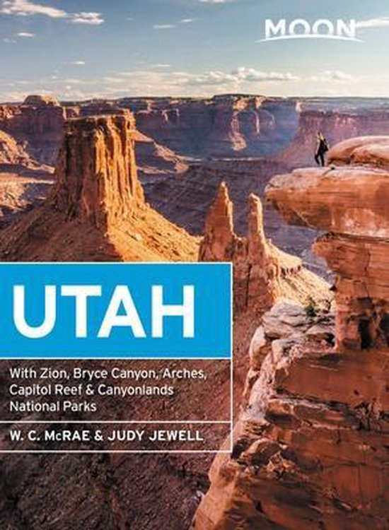
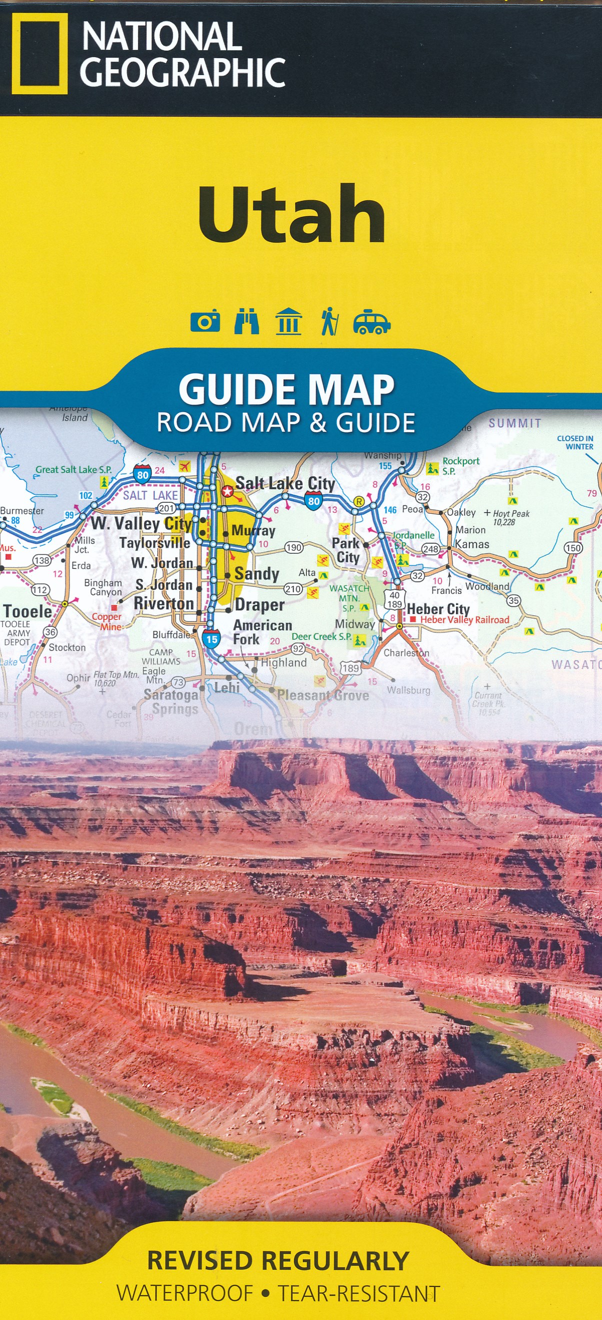
Utah
Beschreibung
Utah is a beautiful state and very good for hiking, since over 60 percent is public land. Utah offers desert, deep canyons and arches, and for those who want to escape the dry land there are the high mountains.
It's main hiking asset is the Great Western Trail, running from north to south from Canada to Mexico. The trail hits a number of national parks and forests which offer good for hiking in their own right: Wasatch-Cache National Forest close to Salt Lake City. Uinta National Forest, Manti-LaSal National Forest, Fishlake National Forest, Capitol Reef National Park, Dixie National Forest, Bryce Canyon National Park and Canyonlands National Park.
The American Discovery Trail crosses Utah. The Bonneville Shoreline Trail (90 miles) follows the shoreline of an ancient lake.
Karte

Wanderwege Landesteil
Links
Fakten
Berichte
Führer und Karten
Übernachtung
Organisationen
Reisebüros
GPS
Sonstiges
Bücher


United Kingdom


- Also available from:
- Stanfords, United Kingdom

United Kingdom
- Wasatch Front North UT
- Map No. 709, Wasatch Front North in Utah, at 1:70,000 in an extensive series of GPS compatible, contoured hiking maps of USA’s national and state parks or forests and other popular recreational areas. Cartography based on the national topographic survey, with additional tourist information.The maps, with most titles now printed on light,... Read more

United Kingdom
2021
- Also available from:
- De Zwerver, Netherlands
- Stanfords, United Kingdom


United Kingdom
2021
- Tour du Cotentin - Littorral de la Normandie GR223
- Tour du Cotentin, FFRP topoguide Ref. no. 200, covering the GR223 along the coast of the Cotentin Peninsula from Isigny-sur-Mer to Mont-St-Michel, including the Utah Beach of the D-Day Normandy Landings. Together with several variants off the main route, the guide provides coverage of nearly 600kms of hiking trails. Current edition of this... Read more

- Also available from:
- Stanfords, United Kingdom

United Kingdom
- Uinta National Forest - Lone Peak - Mt. Timpanogos UT
- Map No. 701, Uinta National Forest - Lone Peak - Mt. Timpanogos in Utah at 1:48,000, in an extensive series of GPS compatible, contoured hiking maps of USA’s national and state parks or forests and other popular recreational areas. Cartography based on the national topographic survey, with additional tourist information.The maps, with most... Read more

United Kingdom
- Starry Sky Adventures Utah
- Hike, Paddle, and Explore under Night Skies Read more

- Also available from:
- De Zwerver, Netherlands
- Stanfords, United Kingdom

United Kingdom
2021
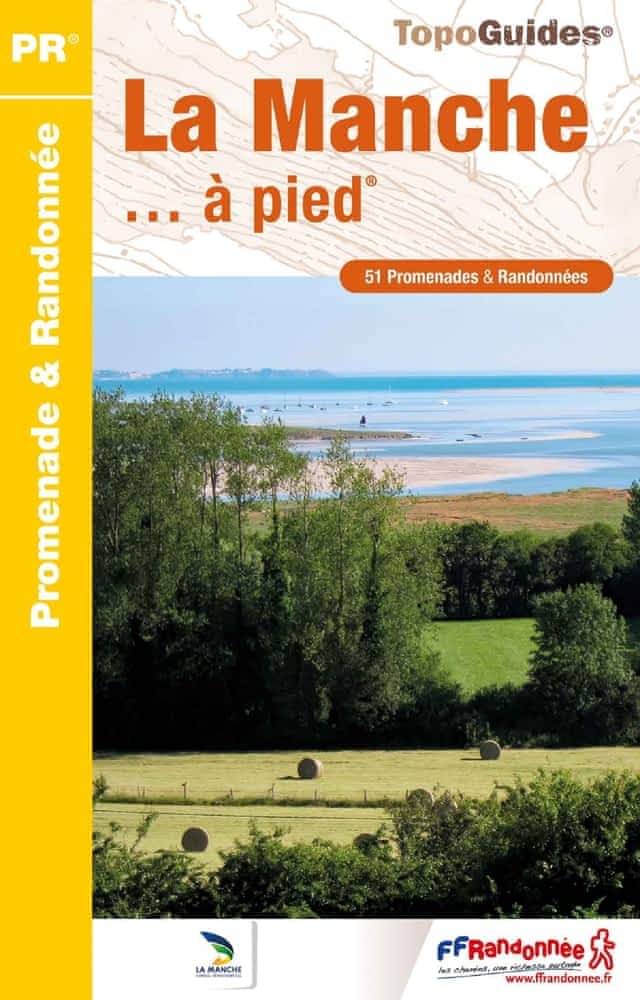
- La Manche à pied
- La Manche à pied, FFRP topo-guide Ref. No. D050, with 51 day walks of varying length and difficulty in the department of La Manche. Coverage extends from Avranches to the tip of the Cotentin Peninsula and includes a walk along the Utah D-Day Beach. Each walk is presented on a separate colour extract from IGN’s topographic survey of France at... Read more

United Kingdom


Karten

- Also available from:
- Stanfords, United Kingdom

United Kingdom
- Logan - Bear River Range UT/ID
- Map No. 700, Logan - Bear River Range in Utah at 1:75,000, part of an extensive series of GPS compatible, contoured hiking maps of USA’s national and state parks or forests and other popular recreational areas. Cartography, based on the national topographic survey, has extensive additional tourist information.The maps, printed on light,... Read more

United Kingdom
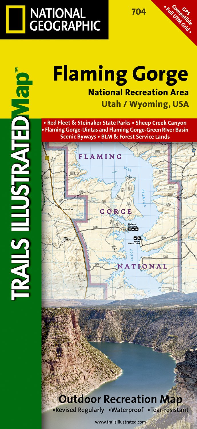
- Flaming Gorge/east Uintas
- Trails Illustrated Other Rec. Areas Read more
- Also available from:
- De Zwerver, Netherlands
- Stanfords, United Kingdom
Netherlands
- Wandelkaart - Topografische kaart 704 Flaming Gorge National Recreation Area | National Geographic
- Prachtige geplastificeerde kaart van het bekende nationaal park. Met alle recreatieve voorzieningen als campsites, maar ook met topografische details en wandelroutes ed. Door uitgekiend kleurgebruik zeer prettig in gebruik. Scheur en watervast! Coverage includes Ashley National Forest; Flaming Gorge National Recreation Area; Eastern Uinta... Read more

United Kingdom
- Flaming Gorge - East Uintas UT/WY
- Map No. 704, Flaming Gorge - East Uintas, UT/WY, in an extensive series of GPS compatible, contoured hiking maps of USA’s national and state parks or forests and other popular recreational areas. Cartography based on the national topographic survey, with additional tourist information.The maps, with most titles now printed on light, waterproof... Read more

United Kingdom
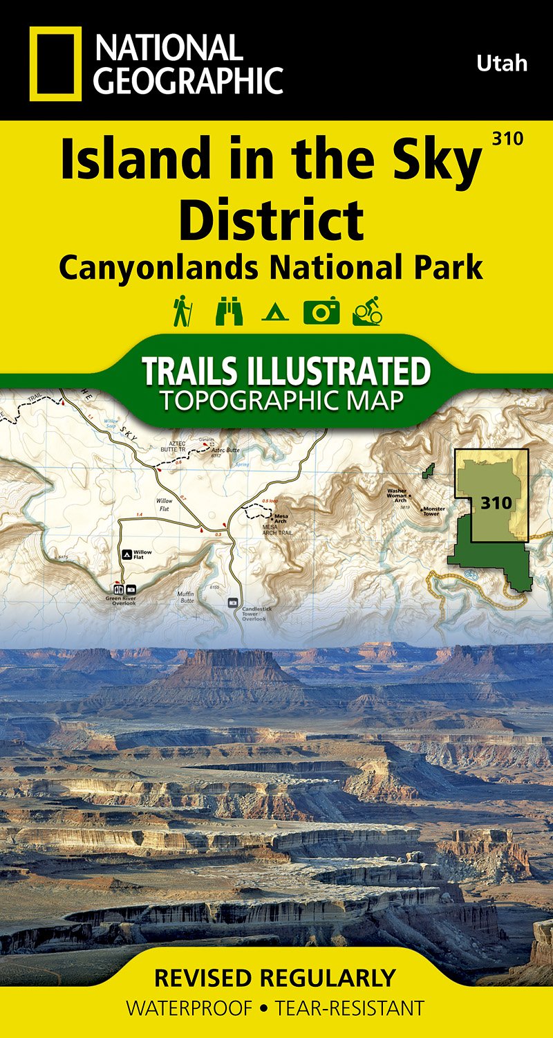
- Canyonlands - Island In The Sky District
- Trails Illustrated National Parks Read more
- Also available from:
- De Zwerver, Netherlands
- Stanfords, United Kingdom
Netherlands
- Wandelkaart - Topografische kaart 310 Island in the Sky District - Canyonlands National Park | National Geographic
- Prachtige geplastificeerde kaart van het nationaal park. Met alle recreatieve voorzieningen als campsites, maar ook met topografische details en wandelroutes ed. Door uitgekiend kleurgebruik zeer prettig in gebruik. Scheur en watervast! This sectional map of Canyonlands National Park zooms in on the Island in the Sky District in the northern... Read more

United Kingdom
- Island in the Sky District - Canyonlands NP UT
- Map No. 310, Canyonlands: Island in the Sky District, UT, in an extensive series of GPS compatible, contoured hiking maps of USA’s national and state parks or forests and other popular recreational areas. Cartography based on the national topographic survey, with additional tourist information.The maps, with most titles now printed on light,... Read more

- Also available from:
- De Zwerver, Netherlands
- Stanfords, United Kingdom
Netherlands

United Kingdom
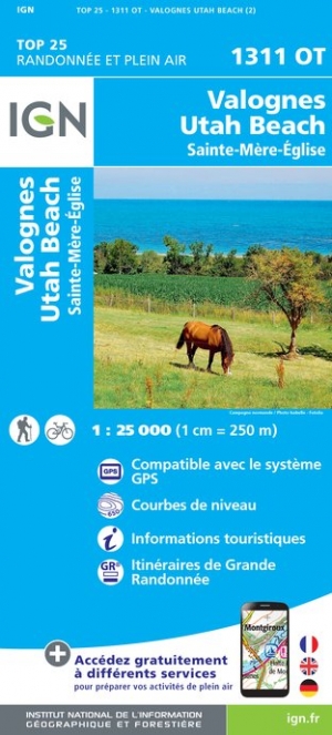
- Valognes - Utah Beach - Sainte-Mere-Eglise IGN 1311OT
- Topographic survey of France at 1:25,000 in IGN`s excellent TOP25 / Série Bleue series. All the maps are GPS compatible, with a 1km UTM grid plus latitude and longitude lines at 5’ intervals. Contours are at 5m intervals except for mountainous areas where the maps have contours at 10m intervals, vividly enhanced by hill shading and graphics for... Read more

United Kingdom
- Ogden, Monte Cristo Range
- Trails Illustrated Other Rec. Areas Read more
- Also available from:
- Stanfords, United Kingdom

United Kingdom
- Ogden - Monte Cristo Range UT NGS Trails Illustrated Map 700
- Map No. 713, Ogden - Monte Cristo Range in Utah at 1:75,000, part of an extensive series of GPS compatible, contoured hiking maps of USA’s national and state parks or forests and other popular recreational areas. Cartography, based on the national topographic survey, has extensive additional tourist information.The maps, printed on light,... Read more
Netherlands
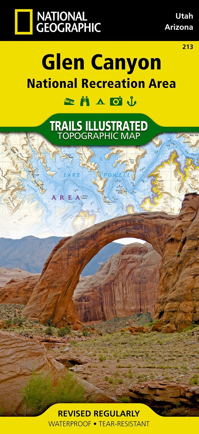
- Wandelkaart - Topografische kaart 213 Glen Canyon National Recreation Area | National Geographic
- Prachtige geplastificeerde kaart van het nationaal park. Met alle recreatieve voorzieningen als campsites, maar ook met topografische details en wandelroutes ed. Door uitgekiend kleurgebruik zeer prettig in gebruik. Scheur en watervast! Our Glen Canyon NRA and Rainbow Bridge NM Trails Illustrated map provides detailed topographic coverage,... Read more
- Also available from:
- Stanfords, United Kingdom

United Kingdom
- Glen Canyon NRA - Capitol Reef NP UT/AZ
- Map No. 213, Glen Canyon National Recreation Area/Capitol Reef National Park, UT/AZ, in an extensive series of GPS compatible, contoured hiking maps of USA’s national and state parks or forests and other popular recreational areas. Cartography based on the national topographic survey, with additional tourist information.The maps, with most... Read more
Netherlands
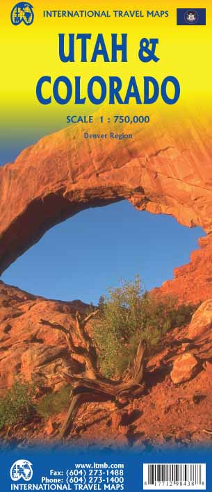
- Wegenkaart - landkaart Utah & Colorado | ITMB
- Colorado/Utah 1:750.000 ab 10.49 EURO International Travel Map ITM. 1st edition Read more

Netherlands
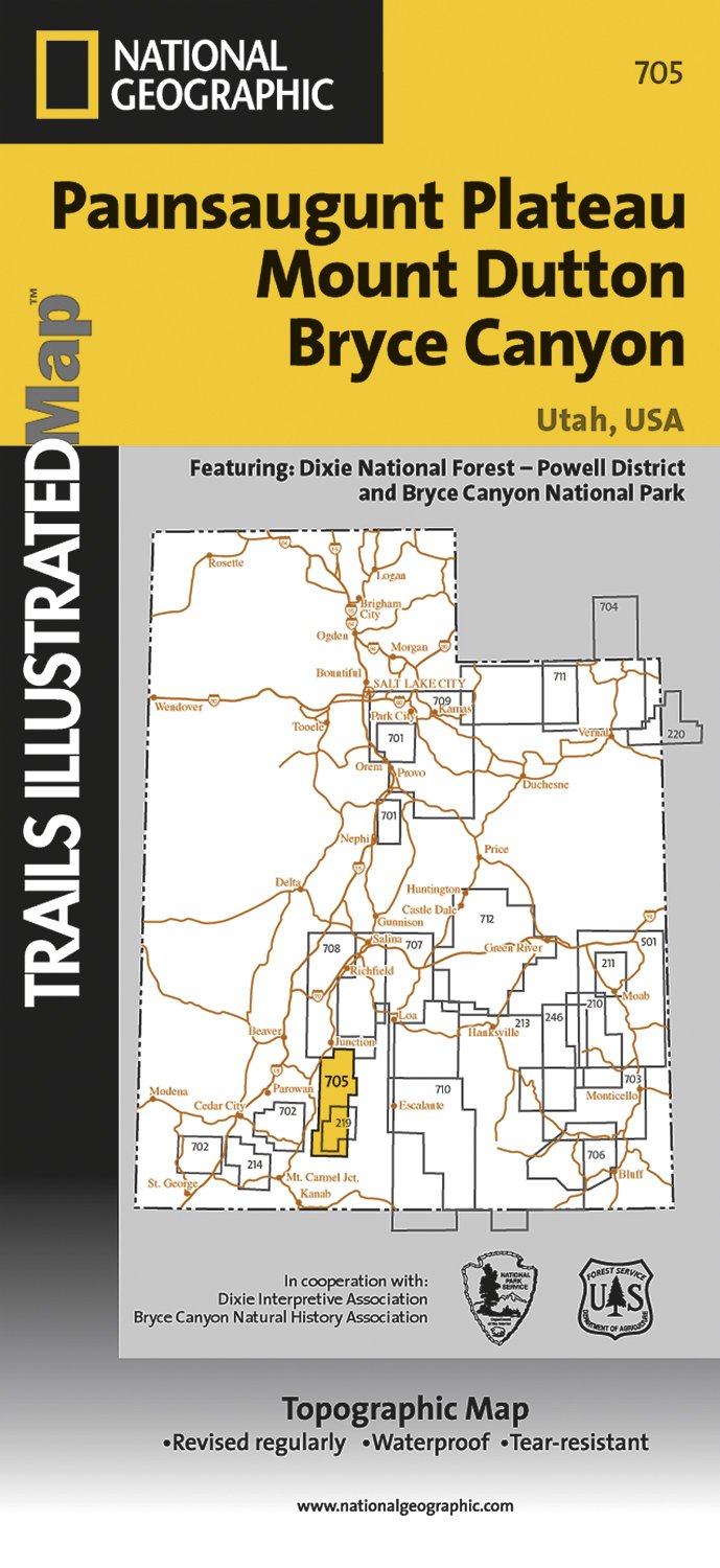
- Wandelkaart - Topografische kaart 705 Paunsaugunt Plateau - Mount Dutton - Bryce Canyon | National Geographic
- Prachtige geplastificeerde kaart van het bekende nationaal park. Met alle recreatieve voorzieningen als campsites, maar ook met topografische details en wandelroutes ed. Door uitgekiend kleurgebruik zeer prettig in gebruik. Scheur en watervast! Coverage includes Dixie National Forest. Bryce Canyon National Park; Paunsaugunt Plateau; Red Canyon,... Read more
- Also available from:
- Stanfords, United Kingdom

United Kingdom
- Paunsaugunt Plateau - Mount Dutton - Bryce Canyon UT NGS Trails Illustrated Map 705
- Map No. 705, Paunsaugunt Plateau - Mount Dutton - Bryce Canyon in Utah in an extensive series of GPS compatible, contoured hiking maps of USA’s national and state parks or forests and other popular recreational areas. Cartography based on the national topographic survey, with additional tourist information.The maps, with most titles now printed... Read more

United Kingdom
2014
- Normandy D-Day - 6 June 1944 IGN Map
- Commemorative map from the IGN for the 70th anniversary of the D-Day landings in Normandy on 6th June 1944, presenting in three large panels various grouping of the Allied Armies and the defending German forces, the changes in the front lines between 6th June and 18th August, and present day commemorative sites and monuments, plus additional... Read more

United Kingdom
- Fish Lake - Manti UT
- Map No. 707, Fish Lake - Capitol Reef are un Utah at 1:90,000 in an extensive series of GPS compatible, contoured hiking maps of USA’s national and state parks or forests and other popular recreational areas. Cartography based on the national topographic survey, with additional tourist information.The maps, with most titles now printed on... Read more

United Kingdom
- Las Vegas Borch
- Very clear, indexed tourist street plan of the city on durable, laminated paper, with additional maps of the surrounding area and the Grand Canyon. The main map includes the Strip, Interstate 15 to the west, Downtown, the international airport, and much of the Winchester district east of the Strip. Detail includes one-way streets, casinos,... Read more
Netherlands
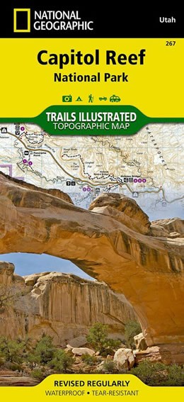
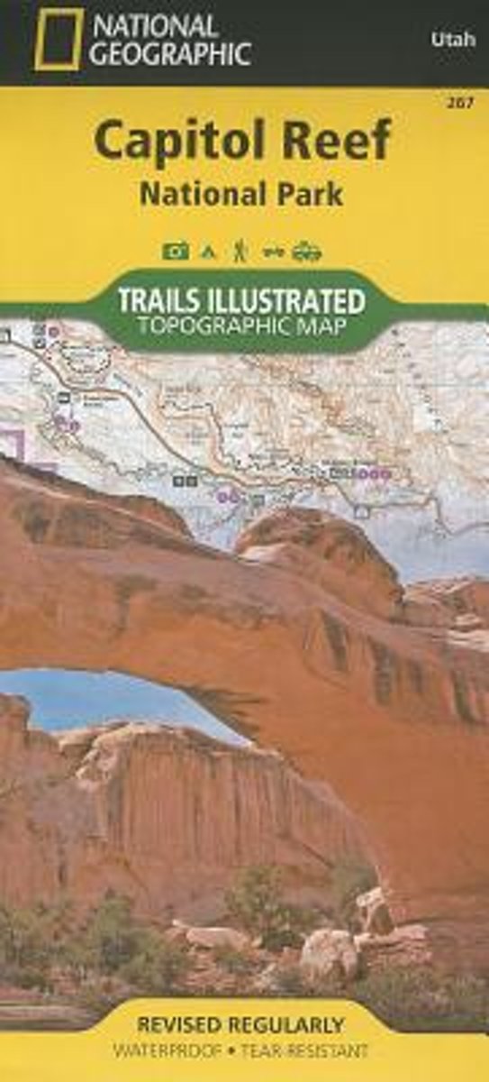
- Wandelkaart 267 Capitol Reef National Park | National Geographic
- Map No. 267, Capitol Reef National Park in Utah at 1:75,000 in an extensive series of GPS compatible, contoured hiking maps of USA Read more
- Also available from:
- Stanfords, United Kingdom
- Bol.com, Netherlands
- Bol.com, Belgium

United Kingdom
- Capitol Reef National Park UT NGS Trails Illustrated Map 267
- Map No. 267, Capitol Reef National Park in Utah at 1:75,000 in an extensive series of GPS compatible, contoured hiking maps of USA’s national and state parks or forests and other popular recreational areas. Cartography based on the national topographic survey, with additional tourist information.The maps, with most titles now printed on light,... Read more
Netherlands
- Capitol Reef National Park
- Waterproof Tear-Resistant Topographic MapNational Geographic's Trails Illustrated map of Capitol Reef National Park is a two-sided, waterproof map designed to meet the needs of outdoor enthusiasts with unmatched durability, detail, and up-to-date recreation information.The front side of the map details the topography, four wheel drive... Read more
Belgium
- Capitol Reef National Park
- Waterproof Tear-Resistant Topographic MapNational Geographic's Trails Illustrated map of Capitol Reef National Park is a two-sided, waterproof map designed to meet the needs of outdoor enthusiasts with unmatched durability, detail, and up-to-date recreation information.The front side of the map details the topography, four wheel drive... Read more

- Also available from:
- De Zwerver, Netherlands
- Stanfords, United Kingdom
- Bol.com, Netherlands
- Bol.com, Belgium
.jpg)
Netherlands
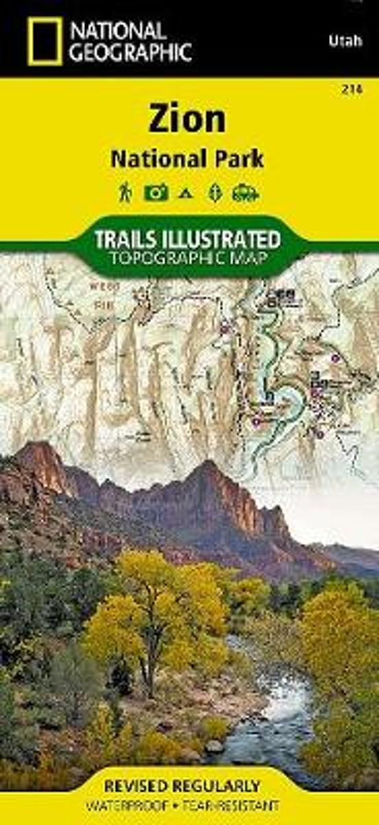
- Wandelkaart - Topografische kaart 214 Zion National Park | National Geographic
- Prachtige geplastificeerde kaart van het bekende nationaal park. Met alle recreatieve voorzieningen als campsites, maar ook met topografische details en wandelroutes ed. Door uitgekiend kleurgebruik zeer prettig in gebruik. Scheur en watervast! This National Geographic Trails Illustrated folded map offers comprehensive coverage of Zion National... Read more

United Kingdom
- Zion National Park UT NGS Trails Illustrated Map 214
- Map No. 214, Zion National Park, UT, in an extensive series of GPS compatible, contoured hiking maps of USA’s national and state parks or forests and other popular recreational areas. Cartography based on the national topographic survey, with additional tourist information.The maps, with most titles now printed on light, waterproof and... Read more
Netherlands
- Zion National Park
- Waterproof Tear-Resistant Topographic MapExplore the beauty and geological wonder of Utah's first national park with National Geographic's Trails Illustrated map of Zion National Park. Created in partnership with local land management agencies, this expertly researched map combines unmatched detail with useful information to help you get... Read more
Belgium
- Zion National Park
- Waterproof Tear-Resistant Topographic MapExplore the beauty and geological wonder of Utah's first national park with National Geographic's Trails Illustrated map of Zion National Park. Created in partnership with local land management agencies, this expertly researched map combines unmatched detail with useful information to help you get... Read more