
New Hampshire
Beschreibung
New Hampshire, in the New England region, has its tips bordering on the Atlantic and Canada.
Prime destination for hikers are the White Mountains, with more than 1000 miles of trails.
157 Miles of the Appalachian Trail lie in New Hampshire. The Eastern Continental Trail and Great Eastern Trail are partly in this state. The New England Trail should touch on New Hampshire.
The Cohos Trail in the state is 162 miles long.
Karte

Wanderwege Landesteil
Links
Fakten
Berichte
Führer und Karten
Übernachtung
Organisationen
Reisebüros
GPS
Sonstiges
Bücher

- Also available from:
- De Zwerver, Netherlands
- Stanfords, United Kingdom

Stanfords
United Kingdom
2017
United Kingdom
2017
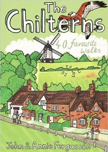
- The Chilterns: 40 Favourite Walks
- With some of the most picturesque countryside in England, yet only a short hop from London, the Chiltern Hills are just waiting to be explored. The glorious views from high ridges, ancient woodlands brimming with wildlife and downs alive with wild flowers and butterflies make the Chilterns and the communities within them English to the core.... Read more

The Book Depository
United Kingdom
United Kingdom
- I Hate Running and You Can Too
- How to Get Started, Keep Going, and Make Sense of an Irrational Passion Read more

The Book Depository
United Kingdom
United Kingdom
- Rail-Trails Northern New England
- The definitive guide to multiuse trails in Maine, New Hampshire, and Vermont Read more

The Book Depository
United Kingdom
United Kingdom
- Hiking Appalachian Trail From Georgia to Maine
- 49 Day Challenge to Hike 12 Greatest Sections of A.T. Read more

- Also available from:
- Stanfords, United Kingdom

Stanfords
United Kingdom
United Kingdom
- In Praise of Paths: Walking through Time and Nature
- ”What [Ekelund is] addressing is the intention to walk one`s way to meaning: the walk as spiritual exercise, a kind of vision quest... A key strategy for finding ourselves, then, is to first get lost.”-The New York Times Book Review An ode to paths and the journeys we take through nature, as told by a gifted writer who stopped driving and... Read more

The Book Depository
United Kingdom
2017
United Kingdom
2017
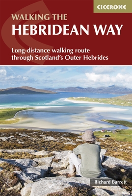
- The Hebridean Way
- Long-distance walking route through Scotland's Outer Hebrides Read more
- Also available from:
- De Zwerver, Netherlands
- Stanfords, United Kingdom
De Zwerver
Netherlands
2017
Netherlands
2017
- Wandelgids The Hebridean Way | Cicerone
- Guidebook to walking the Hebridean Way, a 154 mile (247km) walking route along the length of the Outer Hebrides. From the island of Vatersay to Stornoway on Lewis, the waymarked route can be walked in 8-13 days and crosses a variety of terrain including shell beaches, rugged hills and wild moor. Also includes an extension to the Butt of Lewis. Read more

Stanfords
United Kingdom
2017
United Kingdom
2017
- The Hebridean Way: Long-Distance Walking Route Through Scotland`s Outer Hebrides
- Officially launched in 2017, the Hebridean Way offers walkers the opportunity to experience the magic of Scotland`s Outer Hebrides in one inspirational journey. The waymarked route stretches 247km (155 miles) from Vatersay to Stornaway, linking ten major islands of the archipelago by means of causeways and two ferry crossings: Vatersay, Barra,... Read more

- Also available from:
- Stanfords, United Kingdom

Stanfords
United Kingdom
United Kingdom
- The Manhattan Nobody Knows: An Urban Walking Guide
- A unique walking guide to Manhattan, from the author of `The New York Nobody Knows`Bill Helmreich walked every block of New York City--six-thousand miles in all--to write the award-winning `The New York Nobody Knows`. Now he has re-walked most of Manhattan--721 miles--to write this new, one-of-a-kind walking guide to the heart of one of the... Read more


The Book Depository
United Kingdom
United Kingdom
- Happy Hiker
- The Epic Journey of an Unlikely Appalachian Trail Thru-Hiker Read more

The Book Depository
United Kingdom
United Kingdom
- Moon Tokyo Walks (First Edition)
- See the City Like a Local Read more
- Also available from:
- Stanfords, United Kingdom

Stanfords
United Kingdom
United Kingdom
- Moon Tokyo Walks - First Edition: See the City Like a Local
- Experience Tokyo like a local: on foot! Stroll through the city and soak up its infectious energy, futuristic charm, and centuries of Japanese art and culture with `Moon Tokyo Walks`.- Walk through the city`s coolest neighbourhoods, including Shibuya, Harajuku, Shinjuku, Ginza, and more with colour-coded stops and turn-by-turn directions- Find... Read more

The Book Depository
United Kingdom
United Kingdom
- London's Secret Walks
- 25 Walks Around London's Most Historic Districts Read more
- Also available from:
- Stanfords, United Kingdom

Stanfords
United Kingdom
United Kingdom
- London`s Secret Walks: 25 Walks Around London`s Most Historic Districts
- London is a great city for walking - whether for pleasure, exercise or simply to get from A to B. Despite the city`s extensive public transport system, walking is also often the quickest and most enjoyable way to get around - at least in the centre - and it`s also free and healthy!London has a somewhat haphazard street pattern (to put it... Read more

The Book Depository
United Kingdom
United Kingdom
- Barbell Training
- Step-to-step Guide to Get Fit and Move Pain Free ( A Weight Training Guide for Strength & Fitness That Won't Go Out of Fashion) Read more

The Book Depository
United Kingdom
2019
United Kingdom
2019
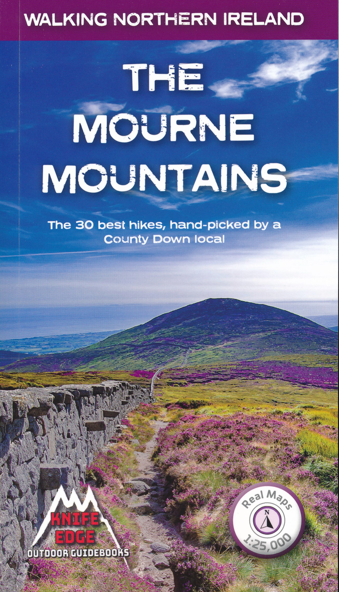
- The Mourne Mountains
- The 30 best hikes, handpicked by a County Down local Read more
- Also available from:
- De Zwerver, Netherlands
- Stanfords, United Kingdom
De Zwerver
Netherlands
2019
Netherlands
2019
- Wandelgids The Mourne Mountains | Knife Edge Outdoor
- The 30 best hikes, handpicked by a County Down local Read more

Stanfords
United Kingdom
2019
United Kingdom
2019
- The Mourne Mountains: The 30 best hikes, handpicked by a County Down local
- The only guidebook for the Mourne Mountains written by a County Down local hiker: 30 handpicked routes.The only guidebook for the Mourne Mountains with Real 1:25,000 Maps: this makes navigation easy and saves you money: no need to carry additional maps.Also includes:Game of Thrones film locationsNumbered waypoints linking maps to textQuick... Read more

The Book Depository
United Kingdom
United Kingdom
- Outdoors with Kids Maine, New Hampshire, and Vermont
- 75 of the Best Family Hiking, Camping, and Paddling Trips Read more

The Book Depository
United Kingdom
2021
United Kingdom
2021
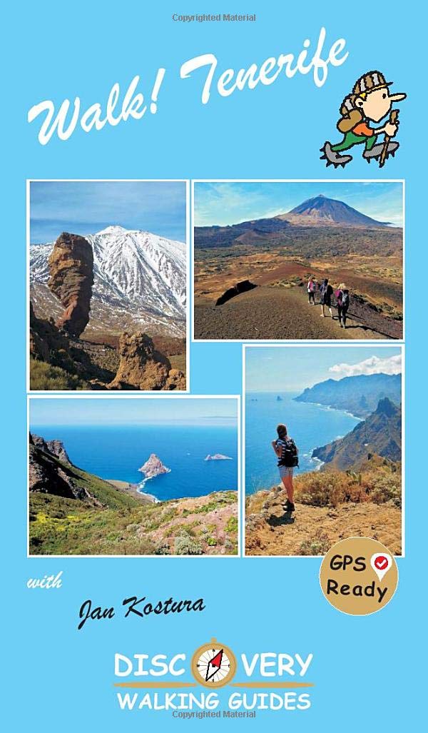
- Walk Tenerife
- TENERIFE - A WALKER`S ISLAND Tenerife is a big island - 2034 square kilometres big. It offers walkers a wide variety of exciting landscapes to choose from; everything from coastal strolls, high altitude summits, pine forests and laurel forests, challenging and strenuous routes to easy country walks. Walk! Tenerife is a comprehensive walking... Read more
- Also available from:
- De Zwerver, Netherlands
De Zwerver
Netherlands
2021
Netherlands
2021
- Wandelgids Walk! Tenerife | Discovery Walking Guides
- TENERIFE - A WALKER`S ISLAND Tenerife is a big island - 2034 square kilometres big. It offers walkers a wide variety of exciting landscapes to choose from; everything from coastal strolls, high altitude summits, pine forests and laurel forests, challenging and strenuous routes to easy country walks. Walk! Tenerife is a comprehensive walking... Read more
Karten

- Also available from:
- De Zwerver, Netherlands
- Stanfords, United Kingdom


Stanfords
United Kingdom
United Kingdom
- Glocknergruppe - Matrei - Kals - Heiligenblut Tabacco 076
- This Tabacco topographic map at 1:25,000 (1cm = 250m) covers the Alta Via routes, as well as the Via Ferrata where you get further than the ordinary walker with the help of steel ladders. Additional information includes: symbols to indicate 6 different types of accommodation from mountain hut, hotel to camping site. As well as information on... Read more

The Book Depository
United Kingdom
2018
United Kingdom
2018
- Ben Nevis and Glen Coe
- Waterproof mountain map of Ben Nevis & Glen Coe from Harvey at 1:40,000, with a geological map of the region on the reverse, an enlargement of Ben Nevis' summit, and advice on navigating the region safely.MAIN MAP: Topography is shown through clear altitude shading, spot heights, contours at 15m intervals, and index contours at 75m intervals. A... Read more
- Also available from:
- De Zwerver, Netherlands
- Stanfords, United Kingdom

De Zwerver
Netherlands
2018
Netherlands
2018
- Wandelkaart Ben Nevis & Glen Coe | Harvey Maps
- Waterproof mountain map of Ben Nevis & Glen Coe from Harvey at 1:40,000, with a geological map of the region on the reverse, an enlargement of Ben Nevis' summit, and advice on navigating the region safely.MAIN MAP: Topography is shown through clear altitude shading, spot heights, contours at 15m intervals, and index contours at 75m intervals. A... Read more

Stanfords
United Kingdom
2018
United Kingdom
2018
- Ben Nevis & Glen Coe Harvey British Mountain Map XT40
- Waterproof mountain map of Ben Nevis & Glen Coe from Harvey at 1:40,000, with a geological map of the region on the reverse, an enlargement of Ben Nevis` summit, and advice on navigating the region safely.*MAIN MAP:* Topography is shown through clear altitude shading, spot heights, contours at 15m intervals, and index contours at 75m intervals.... Read more

De Zwerver
Netherlands
2019
Netherlands
2019
- Reisgids Iceland Road Guide | Vegahandbokin
- Iceland Road Guide from Vegahandbókin, an exceptionally comprehensive, 605-page guide with region-by-region descriptions of sites accompanied by road maps and street plans, plus a separate road atlas section covering the whole country at 1:500,000 and information on a wide variety of tourism relating topics to help the user get the best of... Read more
- Also available from:
- Stanfords, United Kingdom

Stanfords
United Kingdom
2019
United Kingdom
2019
- Iceland Road Guide
- Iceland Road Guide from Vegahandbókin, an exceptionally comprehensive, 605-page guide with region-by-region descriptions of sites accompanied by road maps and street plans, plus a separate road atlas section covering the whole country at 1:500,000 and information on a wide variety of tourism relating topics to help the user get the best of... Read more

Stanfords
United Kingdom
United Kingdom
- Lamsun
- Lamsun, sheet no. 2883-06, in the topographic survey of Nepal at 1:50,000 published by the Nepali Government in the late 1990s and early 2000s and produced from remote sensing data by Finnish cartographers as part of that country’s international aid program. The maps cover 15’ x 15’ quadrangles.IMPORTANT – PLEASE NOTE BEFORE ORDERING:... Read more
Stanfords
United Kingdom
United Kingdom
- Namche Bazar
- Namche Bazar, sheet no. 2786-03, in the topographic survey of Nepal at 1:50,000 published by the Nepali Government in the late 1990s and early 2000s and produced from remote sensing data by Finnish cartographers as part of that country’s international aid program. The maps cover 15’ x 15’ quadrangles.IMPORTANT – PLEASE NOTE BEFORE ORDERING:... Read more

Stanfords
United Kingdom
United Kingdom
- Cycling the Canal de la Garonne: From Bordeaux to Toulouse
- This guidebook presents a cycle ride along the Canal de la Garonne in the south of France. The 290km route is covered in 7 stages from bustling Bordeaux to the splendid rose city of Toulouse, with a 135km excursion from to Lacanau on the Atlantic coast. Optional side trips explore the countryside and historical towns and villages, including... Read more
Stanfords
United Kingdom
United Kingdom
- Sarmi
- Sarmi, sheet no. 2982-14, in the topographic survey of Nepal at 1:50,000 published by the Nepali Government in the late 1990s and early 2000s and produced from remote sensing data by Finnish cartographers as part of that country’s international aid program. The maps cover 15’ x 15’ quadrangles.IMPORTANT – PLEASE NOTE BEFORE ORDERING:... Read more
Stanfords
United Kingdom
United Kingdom
- Dadapakhar
- Dadapakhar, sheet no. 2785-08, in the topographic survey of Nepal at 1:50,000 published by the Nepali Government in the late 1990s and early 2000s and produced from remote sensing data by Finnish cartographers as part of that country’s international aid program. The maps cover 15’ x 15’ quadrangles.IMPORTANT – PLEASE NOTE BEFORE ORDERING:... Read more
Stanfords
United Kingdom
United Kingdom
- Nanikot
- Nanikot, sheet no. 2981-11, in the topographic survey of Nepal at 1:50,000 published by the Nepali Government in the late 1990s and early 2000s and produced from remote sensing data by Finnish cartographers as part of that country’s international aid program. The maps cover 15’ x 15’ quadrangles.IMPORTANT – PLEASE NOTE BEFORE ORDERING:... Read more
Stanfords
United Kingdom
United Kingdom
- Kimathanka
- Kimathanka, sheet no. 2787-02, in the topographic survey of Nepal at 1:50,000 published by the Nepali Government in the late 1990s and early 2000s and produced from remote sensing data by Finnish cartographers as part of that country’s international aid program. The maps cover 15’ x 15’ quadrangles.IMPORTANT – PLEASE NOTE BEFORE ORDERING:... Read more
Stanfords
United Kingdom
United Kingdom
- Khalanga Baja (Darchula)
- Khalanga Baja (Darchula), sheet no. 2980-03 / 3080-15, in the topographic survey of Nepal at 1:50,000 published by the Nepali Government in the late 1990s and early 2000s and produced from remote sensing data by Finnish cartographers as part of that country’s international aid program. The maps cover 15’ x 15’ quadrangles.IMPORTANT – PLEASE... Read more
Stanfords
United Kingdom
United Kingdom
- Simi
- Simi, sheet no. 2884-11, in the topographic survey of Nepal at 1:50,000 published by the Nepali Government in the late 1990s and early 2000s and produced from remote sensing data by Finnish cartographers as part of that country’s international aid program. The maps cover 15’ x 15’ quadrangles.IMPORTANT – PLEASE NOTE BEFORE ORDERING:... Read more
Stanfords
United Kingdom
United Kingdom
- Damodar Himal
- Damodar Himal, sheet no. 2884-01, in the topographic survey of Nepal at 1:50,000 published by the Nepali Government in the late 1990s and early 2000s and produced from remote sensing data by Finnish cartographers as part of that country’s international aid program. The maps cover 15’ x 15’ quadrangles.IMPORTANT – PLEASE NOTE BEFORE ORDERING:... Read more

Stanfords
United Kingdom
United Kingdom
- Berlin High 5 Edition Street Plan
- The first water-resistant “Comfort Map“ with direct access to useful additional information from the InternetBerlin in a scale of 1:20,000 presented on a practical map; inclusive of the High 5 Edition app technology for calling up additional travel information and many other benefits:- just the right size - 9.6 x 16.1 cm - to fit comfortably... Read more
Stanfords
United Kingdom
United Kingdom
- Tilicho
- Tilicho, sheet no. 2883-08, in the topographic survey of Nepal at 1:50,000 published by the Nepali Government in the late 1990s and early 2000s and produced from remote sensing data by Finnish cartographers as part of that country’s international aid program. The maps cover 15’ x 15’ quadrangles.IMPORTANT – PLEASE NOTE BEFORE ORDERING:... Read more