
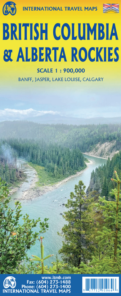
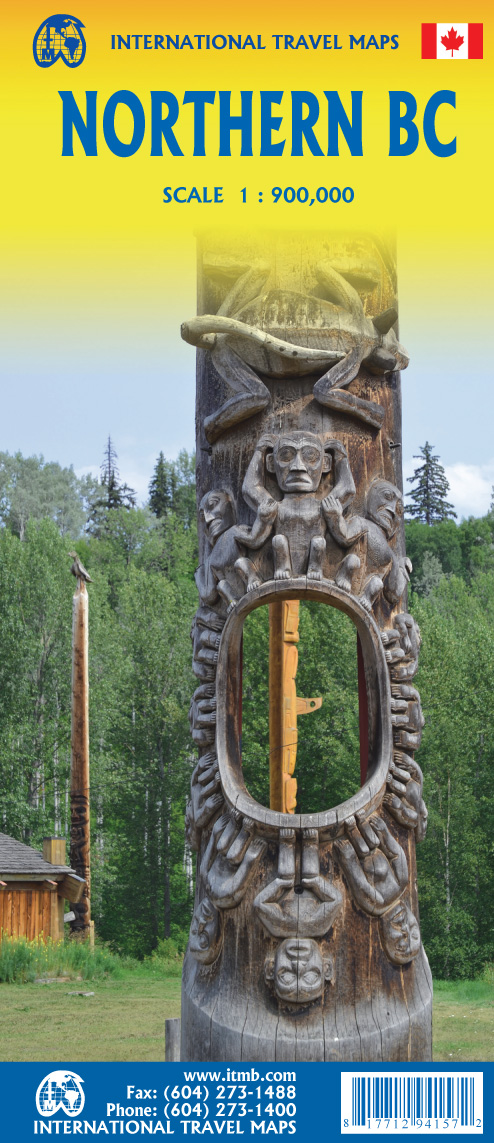
British Columbia
Beschreibung
Karte

Wanderwege Landesteil
Links
Fakten
Berichte
Führer und Karten
Übernachtung
Organisationen
Reisebüros
GPS
Sonstiges
Bücher

The Book Depository
United Kingdom
2018
United Kingdom
2018
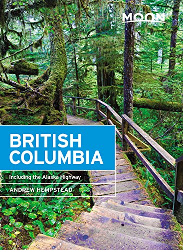
- Moon British Columbia (Eleventh Edition)
- Including the Alaska Highway Read more
- Also available from:
- De Zwerver, Netherlands
De Zwerver
Netherlands
2018
Netherlands
2018
- Reisgids British Columbia | Moon Travel Guides
- Including the Alaska Highway Read more


The Book Depository
United Kingdom
United Kingdom
- Beer Hiking Pacific Northwest
- The Most Refreshing Way to Discover Washington, Oregon and British Columbia Read more

The Book Depository
United Kingdom
United Kingdom
- The Best of The Great Trail -- Volume 1
- Newfoundland to Southern Ontario on the Trans Canada Trail Read more


The Book Depository
United Kingdom
United Kingdom
- Hiking Trails of the Pacific Northwest
- Northern California, Oregon, Washington, Southwestern British Columbia Read more

The Book Depository
United Kingdom
United Kingdom
- Destination Hikes
- In and Around Southwestern British Columbia Read more

The Book Depository
United Kingdom
2022
United Kingdom
2022
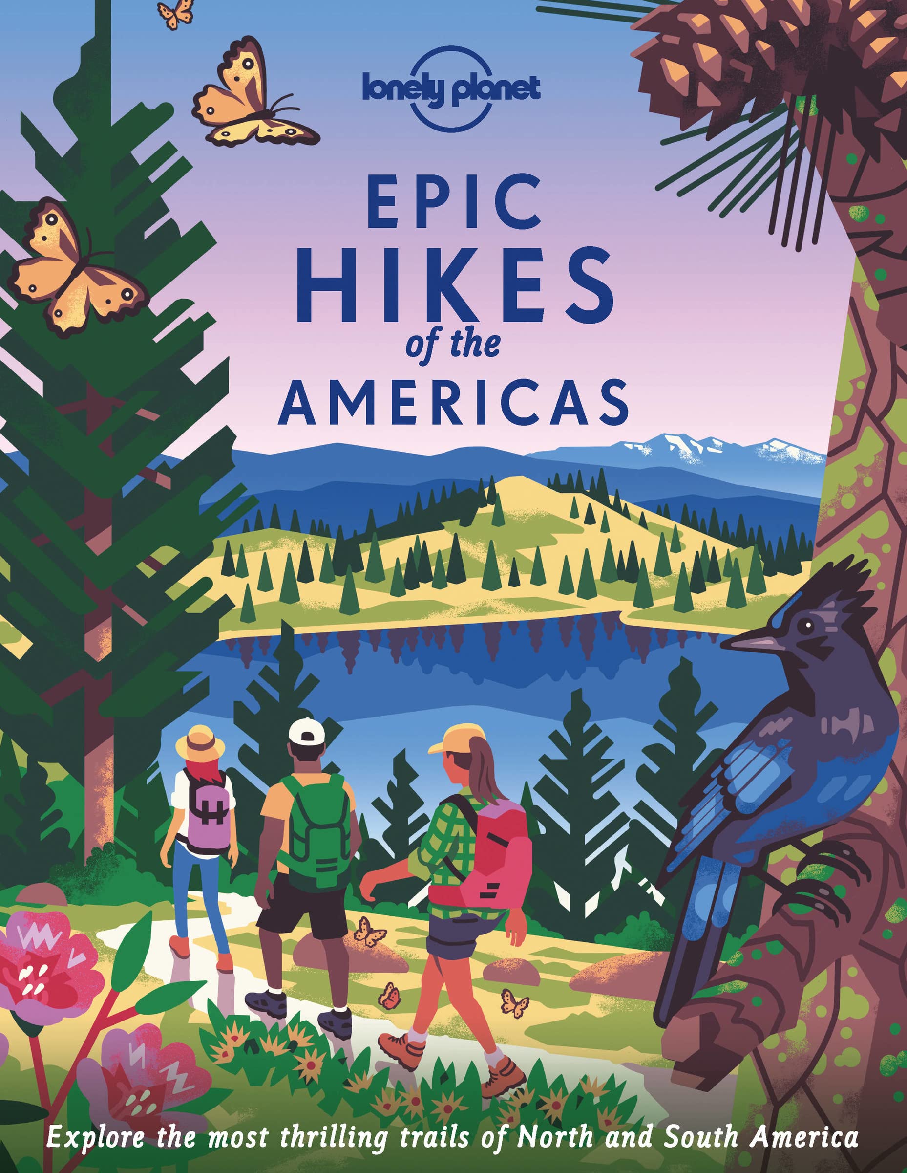
- Lonely Planet Epic Hikes of the Americas
- Lace up your hiking boots for the next in Lonely Planet`s highly successful Epic Hikes series, this time exploring 50 of the Americas` most rewarding treks and trails. From Canada`s longest hut-to-hut hike, the Sunshine Coast Trail, to a descent through Havasu Canyon in the USA, and the Santa Cruz Trail of northern Peru, we cover a huge variety... Read more
- Also available from:
- De Zwerver, Netherlands
- Stanfords, United Kingdom
De Zwerver
Netherlands
2022
Netherlands
2022
- Wandelgids Epic Hikes of the Americas | Lonely Planet
- Lace up your hiking boots for the next in Lonely Planet`s highly successful Epic Hikes series, this time exploring 50 of the Americas` most rewarding treks and trails. From Canada`s longest hut-to-hut hike, the Sunshine Coast Trail, to a descent through Havasu Canyon in the USA, and the Santa Cruz Trail of northern Peru, we cover a huge variety... Read more

Stanfords
United Kingdom
2022
United Kingdom
2022
- Epic Hikes of the Americas
- Lace up your hiking boots for the next in Lonely Planet`s highly successful Epic Hikes series, this time exploring 50 of the Americas` most rewarding treks and trails. From Canada`s longest hut-to-hut hike, the Sunshine Coast Trail, to a descent through Havasu Canyon in the USA, and the Santa Cruz Trail of northern Peru, we cover a huge variety... Read more


The Book Depository
United Kingdom
United Kingdom
- The Best of The Great Trail
- British Columbia to Northern Ontario on the Trans Canada Trail Read more


De Zwerver
Netherlands
2022
Netherlands
2022
Karten

The Book Depository
United Kingdom
United Kingdom
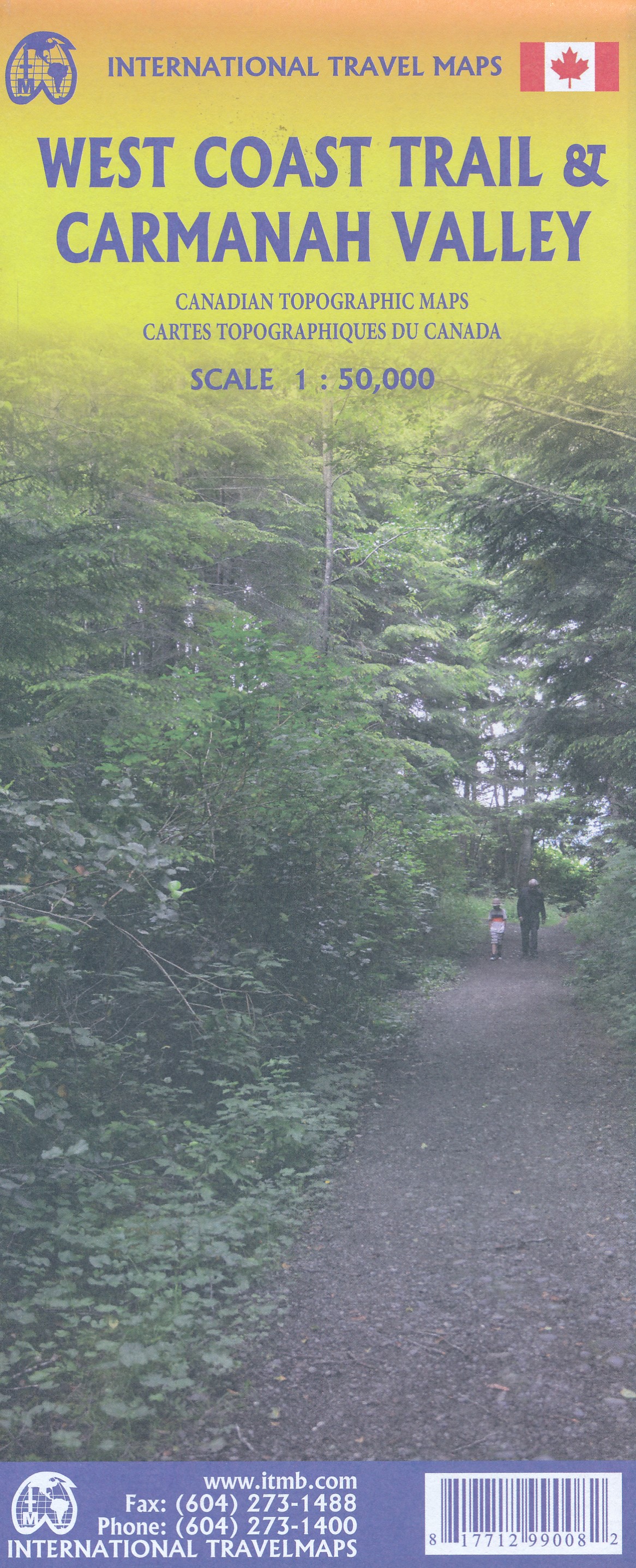
- West Coast Trail / Carmanah Valley
- West Coast Trail in the Pacific Rim National Park Reserve and the Carmanah Valley in the Carmanah Walbran Provincial Park on the western coast of Vancouver Island at 1:50,000 in a series of topographic survey maps of selected areas of British Columbia and the Canadian Rockies from ITMB with cartography from Canada’s national survey... Read more
- Also available from:
- De Zwerver, Netherlands
- Stanfords, United Kingdom
De Zwerver
Netherlands
Netherlands
- Wandelkaart West Coast Trail & Carmanah Valley | ITMB
- West Coast Trail in the Pacific Rim National Park Reserve and the Carmanah Valley in the Carmanah Walbran Provincial Park on the western coast of Vancouver Island at 1:50,000 in a series of topographic survey maps of selected areas of British Columbia and the Canadian Rockies from ITMB with cartography from Canada’s national survey... Read more

Stanfords
United Kingdom
United Kingdom
- West Coast Trail & Carmanah Valley ITMB
- West Coast Trail in the Pacific Rim National Park Reserve and the Carmanah Valley in the Carmanah Walbran Provincial Park on the western coast of Vancouver Island at 1:50,000 in a series of topographic survey maps of selected areas of British Columbia and the Canadian Rockies from ITMB with cartography from Canada’s national survey... Read more
De Zwerver
Netherlands
Netherlands
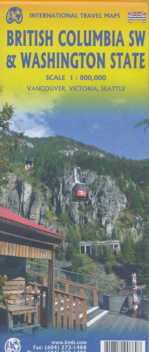
- Wegenkaart - landkaart Washington State - British Columbia southwest | ITMB
- British Columbia Südwest & Washington 1 : 800 000 ab 10.49 EURO Topographische Karte doppelseitig Washington State, Plan Downtown Seattle Britsh Columbia, incl. Vanc. 1st edition Read more
De Zwerver
Netherlands
2008
Netherlands
2008
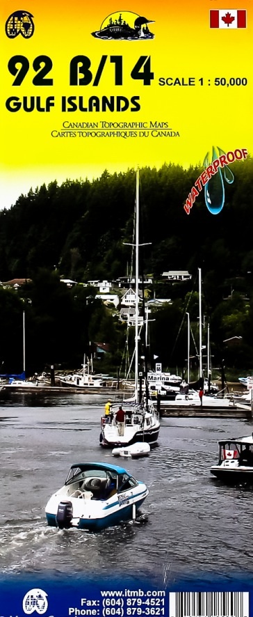
- Wegenkaart - landkaart Gulf Islands & Nanaimo (Canada) | ITMB
- Gulf Islands - Nanaimo and Islands at 1:50,000 in a series of topographic survey maps of selected areas of British Columbia and the Canadian Rockies from ITMB with cartography from Canada Read more
- Also available from:
- Stanfords, United Kingdom

Stanfords
United Kingdom
2008
United Kingdom
2008
- Gulf Islands - Nanaimo and Islands ITMB
- Gulf Islands - Nanaimo and Islands at 1:50,000 in a series of topographic survey maps of selected areas of British Columbia and the Canadian Rockies from ITMB with cartography from Canada’s national survey organization. Most sheets are printed on light, waterproof and tear- resistant plastic paper.Whilst the Canadian Department of Natural... Read more
De Zwerver
Netherlands
Netherlands
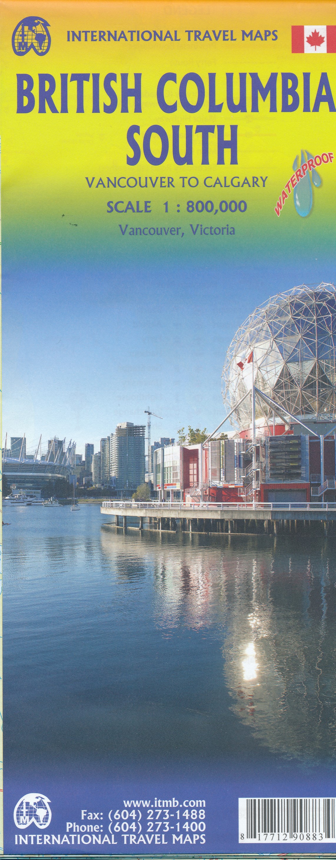
- Wegenkaart - landkaart British Columbia South (Canada) | ITMB
- Indexed double-sided road map at 1:900,000 from ITMB of the southern part of British Columbia, extending from Vancouver Island to Calgary to cover the whole of the Banff and Jasper National Parks, with plans of downtown Vancouver and Victoria. Coverage northwards extends to include the southern part of Haida Gwai (Queen Charlotte) Islands and... Read more
- Also available from:
- Stanfords, United Kingdom

Stanfords
United Kingdom
United Kingdom
- British Columbia South ITMB
- Indexed double-sided road map at 1:800,000 from ITMB of the southern part of British Columbia, extending from Vancouver Island to Calgary to cover the whole of the Banff and Jasper National Parks, with plans of downtown Vancouver and Victoria. Coverage northwards extends to include the southern part of Haida Gwai (Queen Charlotte) Islands and... Read more
De Zwerver
Netherlands
Netherlands
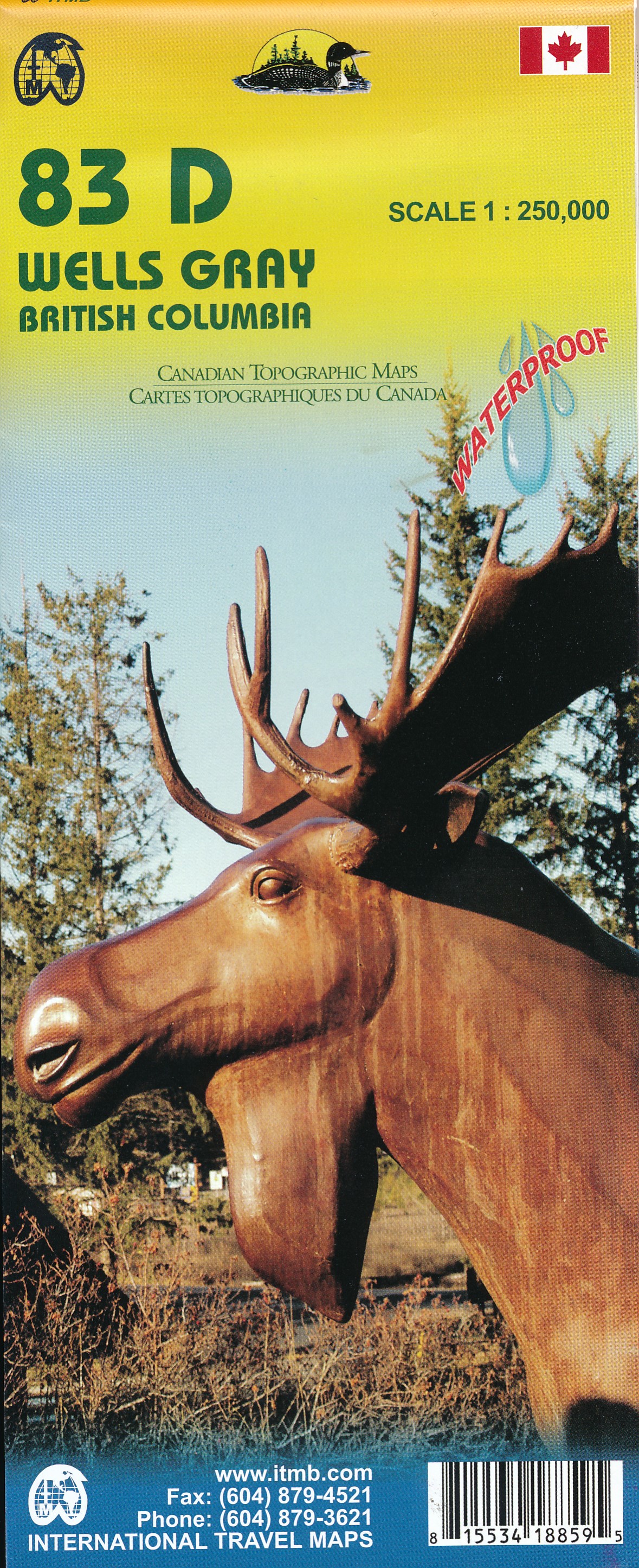
- Wegenkaart - landkaart 83D Wells Gray - Murtle Lake | ITMB
- Wells Gray - Murtle Lake at 1:250,000 and 1:50,000 in a series of topographic survey maps of selected areas of British Columbia and the Canadian Rockies from ITMB with cartography from Canada Read more
- Also available from:
- Stanfords, United Kingdom
Stanfords
United Kingdom
United Kingdom
- Wells Gray - Murtle Lake ITMB
- Wells Gray - Murtle Lake at 1:250,000 and 1:50,000 in a series of topographic survey maps of selected areas of British Columbia and the Canadian Rockies from ITMB with cartography from Canada’s national survey organization. Most sheets are printed on light, waterproof and tear- resistant plastic paper.Whilst the Canadian Department of Natural... Read more
De Zwerver
Netherlands
Netherlands
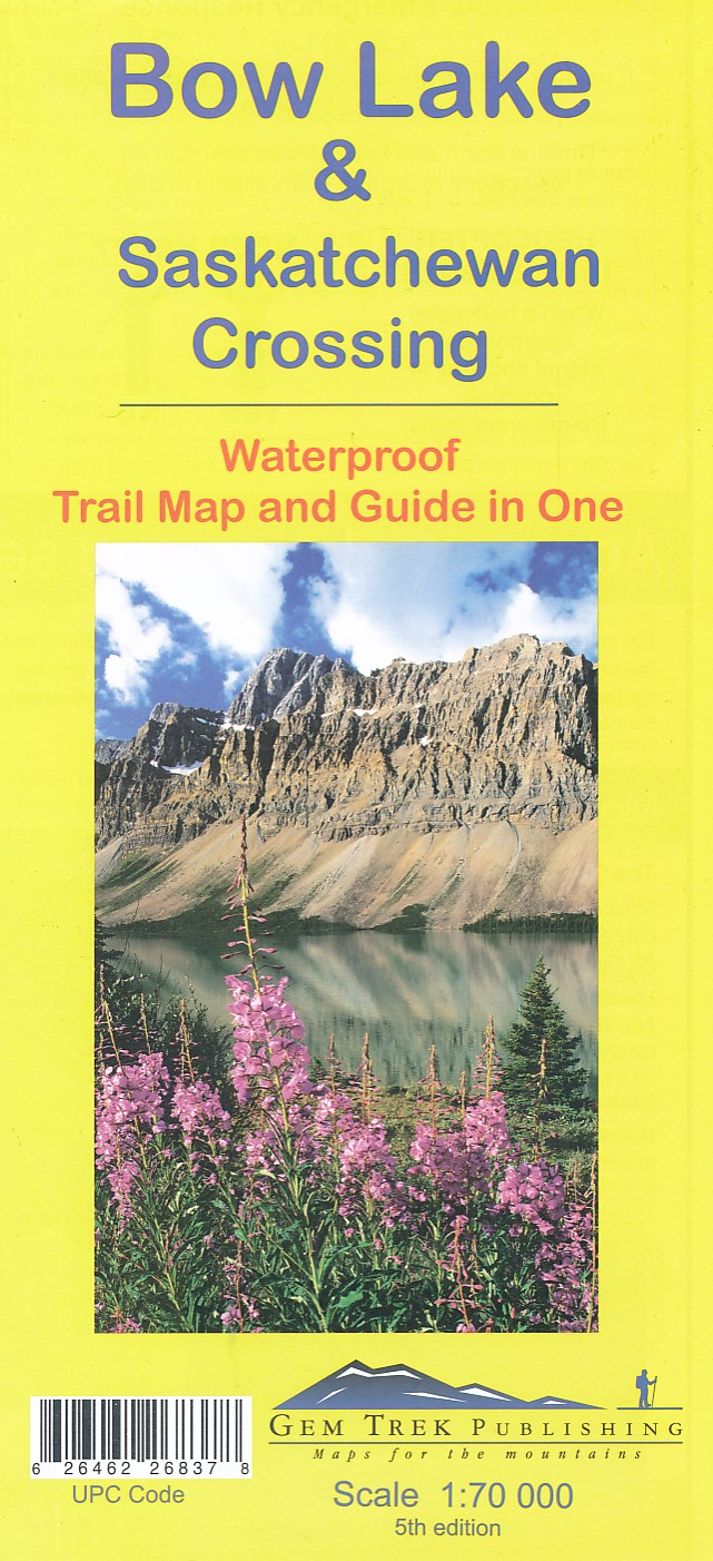
- Wandelkaart 03 Bow Lake and Saskatchewan Crossing | Gem Trek Maps
- Bow Lake - Saskatchewan Crossing region of the Canadian Rockies on a contoured and GPS compatible map at 1:70,000 from Gem Trek with an extension at 1:100,000 to include the Mosquito Creek – Fish Lakes area, plus extensive tourist information on recommended hikes, etc.The map shows trails departing from the southern section of the Icefields... Read more
- Also available from:
- Stanfords, United Kingdom

Stanfords
United Kingdom
United Kingdom
- Bow Lake & Saskatchewan Crossing Gem Trek Map
- Bow Lake - Saskatchewan Crossing region of the Canadian Rockies on a contoured and GPS compatible map at 1:70,000 from Gem Trek with an extension at 1:100,000 to include the Mosquito Creek – Fish Lakes area, plus extensive tourist information on recommended hikes, etc.The map shows trails departing from the southern section of the Icefields... Read more
De Zwerver
Netherlands
Netherlands
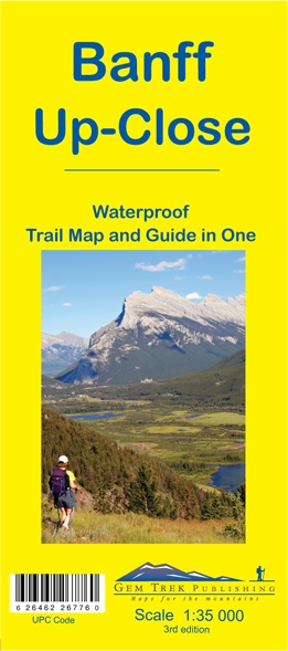
- Wandelkaart 11 Banff Up-Close | Gem Trek Maps
- Gem Trek Map-Guides Banff Up-Close (11) - This map-and-guide-in-one is designed for people who are only going to be in Banff for one to three days, and want to know what the highlights are and how to find them.On the front is a detailed relief-shaded topographic map of the Banff townsite area, from the Sundance and Sulphur Mountain areas in the... Read more
- Also available from:
- Stanfords, United Kingdom

Stanfords
United Kingdom
United Kingdom
- Banff Up-Close Gem Trek
- Banff town and the surrounding area on a contoured and GPS compatible, waterproof and tear-resistant map/guide at 1:35,000 from Gem Trek, designed for people who are only going to be in Banff for one to three days and want to know the highlights. On one side is a detailed, topographic map of the Banff village area, from the Sundance and Sulphur... Read more
De Zwerver
Netherlands
Netherlands
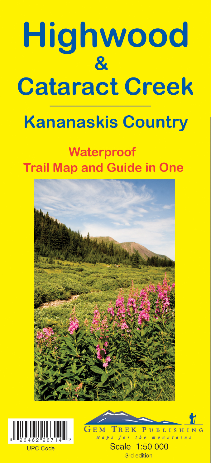
- Wandelkaart 09 Highwood & Cataract Creek | Gem Trek Maps
- Highwood and Cataract Creek area of the Canadian Rockies on a contoured and GPS compatible, waterproof and tear-resistant map at 1:50,000 from Gem Trek with descriptions of recommended trails and other tourist information. On the reverse an inset at 1:50 000 extends the coverage south to take in the trails accessed from Highways 940 and 542,... Read more
- Also available from:
- Stanfords, United Kingdom

Stanfords
United Kingdom
United Kingdom
- Highwood & Cataract Creek - Kananaskis Country Gem Trek Map
- Highwood and Cataract Creek area of the Canadian Rockies on a contoured and GPS compatible, waterproof and tear-resistant map at 1:50,000 from Gem Trek with descriptions of recommended trails and other tourist information. On the reverse an inset at 1:50 000 extends the coverage south to take in the trails accessed from Highways 940 and 542,... Read more
De Zwerver
Netherlands
2020
Netherlands
2020
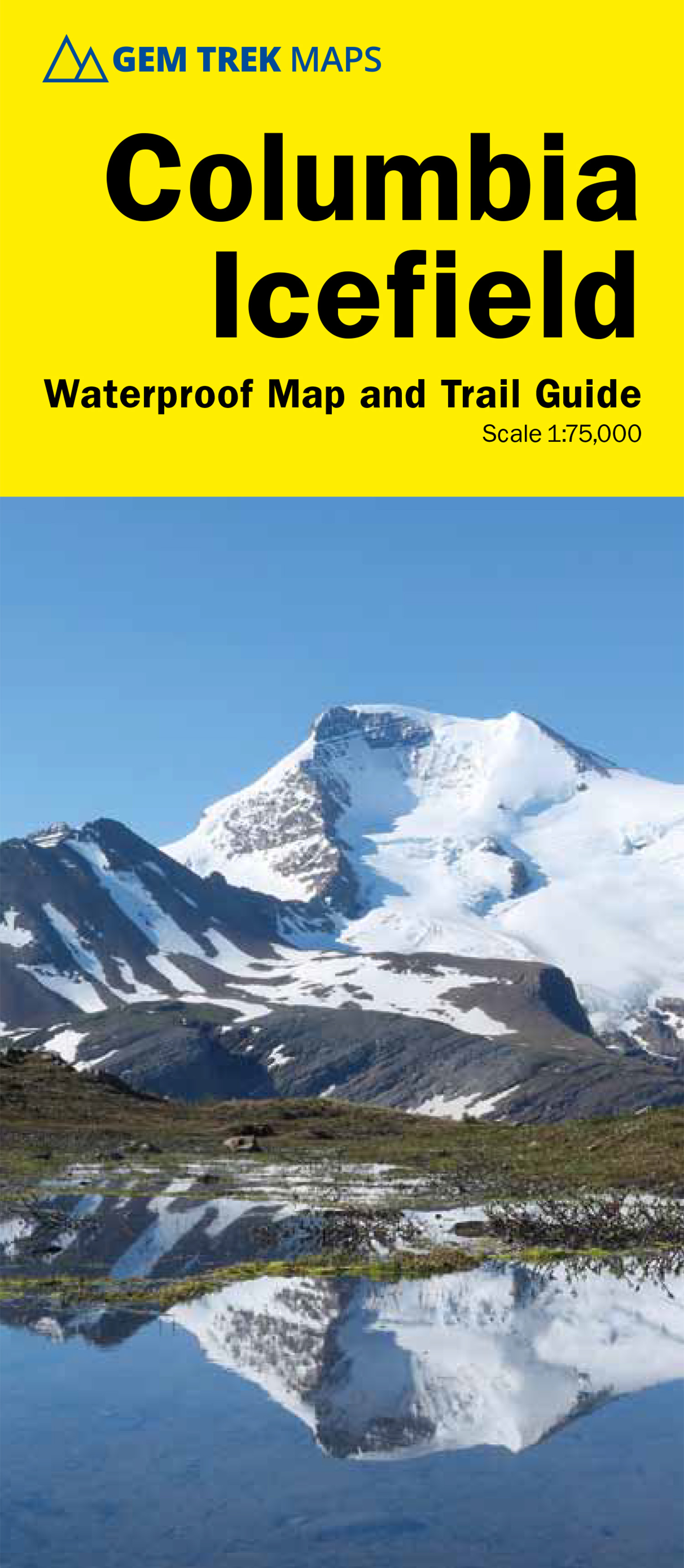
- Wandelkaart 02 Columbia Icefield | Gem Trek Maps
- Columbia Icefield spanning the border between the Banff and the Jasper National Parks in the Canadian Rockies on a contoured and GPS-compatible, waterproof and tear-resistant map at 1:75,000 from Gem Trek, with extensive tourist information including recommended hikes, geology, etc. Coverage extends along both sides of the Icefields Parkway... Read more
- Also available from:
- Stanfords, United Kingdom

Stanfords
United Kingdom
2020
United Kingdom
2020
- Columbia Icefield Gem Trek Map
- Columbia Icefield spanning the border between the Banff and the Jasper National Parks in the Canadian Rockies on a contoured and GPS-compatible, waterproof and tear-resistant map at 1:75,000 from Gem Trek, with extensive tourist information including recommended hikes, geology, etc. Coverage extends along both sides of the Icefields Parkway... Read more
De Zwerver
Netherlands
Netherlands
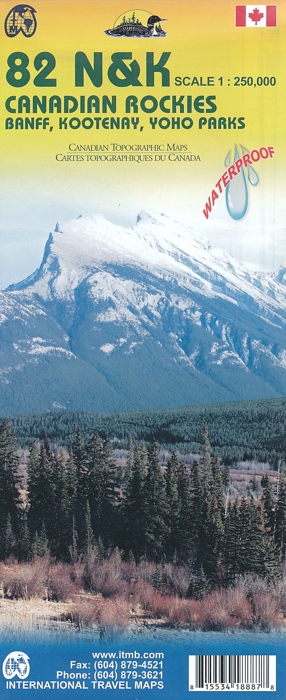
- Topografische kaart 82 N&K Canadian Rockies Banff, Kootenay, Yoho Parks | ITMB
- 1:250,000 scale, 1st Edition, 2008 – This is a fabulous map. The artwork consists of four complete Govt. of Canada Topographic maps (82J, K, N, and O) overprinted with hundreds of touristic attractions – camping sites, hiking trails, canoeing areas, wilderness lodges, youth hostels, golf courses – you name it, it's there. Coverage is from... Read more
- Also available from:
- Stanfords, United Kingdom

Stanfords
United Kingdom
United Kingdom
- Canadian Rockies - Banff - Kootenay - Yoho Parks ITMB
- Canadian Rockies: Banff, Kootenay and Yoho National Parks at 1:250,000 in a series of topographic survey maps of selected areas of British Columbia and the Canadian Rockies from ITMB with cartography from Canada’s national survey organization. Most sheets are printed on light, waterproof and tear- resistant plastic paper.Whilst the Canadian... Read more