Wales
Beschreibung
Karte

Wanderwege Landesteil
- All Wales Coast PathGPX
- Beacons WayGPX
- Cambrian Way
- Clwydian WayGPX
- Coed Morgannwg Way
- Dyfi Valley Way
- Glamorgan Ridgeway
- Glyndŵr's WayGPX
- Isle of Anglesey Coastal PathGPX
- Llŷn Coastal PathGPX
- North Wales PathGPX
- Offa's Dyke PathGPX
- Pembrokeshire Coast PathGPX
- Severn WayGPX
- Sirhowy Valley Walk
- Usk Valley WalkGPX
- Wye Valley WalkGPX
Links
Fakten
Berichte
Führer und Karten
Übernachtung
Organisationen
Reisebüros
GPS
Sonstiges
Bücher

- Also available from:
- De Zwerver, Netherlands

- Also available from:
- De Zwerver, Netherlands
- Stanfords, United Kingdom
De Zwerver
Netherlands
Netherlands

Stanfords
United Kingdom
United Kingdom
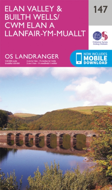
- Elan Valley & Builth Wells OS Landranger Map 147 (paper)
- Central Wales around the Elan Valley and Builth Wells, including a part of the Glyndwr’s Way long-distance trail, on a paper version of map No. 147 from the Ordnance Survey’s Landranger series at 1:50,000, with contoured and GPS compatible topographic mapping plus tourist information.MOBILE DOWNLOADS: As well as the physical edition of the map,... Read more


- Also available from:
- De Zwerver, Netherlands
- Stanfords, United Kingdom
De Zwerver
Netherlands
2015
Netherlands
2015

Stanfords
United Kingdom
2015
United Kingdom
2015
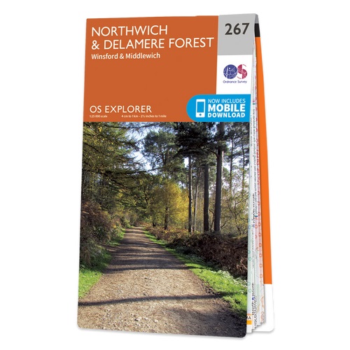
- Northwich & Delamere Forest - Winsford & Middlewich OS Explorer Map 267 (paper)
- Northwich, Delamere Forest, Winsford and Middlewich area on a detailed topographic and GPS compatible map No. 267, paper version, from the Ordnance Survey’s 1:25,000 Explorer series. MOBILE DOWNLOADS: this title and all the other OS Explorer maps include a code for downloading after purchase the digital version onto your smartphone or tablet... Read more

- Also available from:
- De Zwerver, Netherlands
- Stanfords, United Kingdom
De Zwerver
Netherlands
Netherlands

Stanfords
United Kingdom
United Kingdom
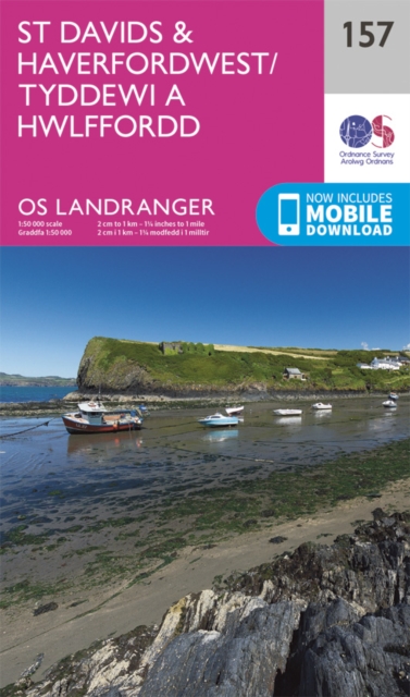
- St David`s & Haverfordwest OS Landranger Map 157 (paper)
- Pembrokeshire Coast National Park between Pembroke in the south and Fishguard in the north including St Davids, and with coverage extending inland beyond Haverfordwest, on a paper version of map No. 157 from the Ordnance Survey’s Landranger series at 1:50,000, with contoured and GPS compatible topographic mapping plus tourist information.MOBILE... Read more


- Also available from:
- Stanfords, United Kingdom

Stanfords
United Kingdom
United Kingdom
- Elan Valley & Builth Wells OS Landranger Active Map 147 (waterproof)
- Central Wales around the Elan Valley and Builth Wells, including a part of the Glyndwr’s Way long-distance trail, on a waterproof and tear-resistant OS Active version of map No. 147 from the Ordnance Survey’s Landranger series at 1:50,000, with contoured and GPS compatible topographic mapping plus tourist information.MOBILE DOWNLOADS: As well... Read more

The Book Depository
United Kingdom
United Kingdom
- Also available from:
- De Zwerver, Netherlands
- Stanfords, United Kingdom

De Zwerver
Netherlands
Netherlands

Stanfords
United Kingdom
United Kingdom
- Brecon Beacons Eastern OS Explorer Map OL13 (paper)
- The eastern part of the Brecon Beacons National Park on a detailed topographic and GPS compatible map OL13, paper version, from the Ordnance Survey’s 1:25,000 Explorer series. Coverage includes Tredegar, Ebbw Vale, Abergavenny, Hay-on-Wye, the Black Mountains, Llangorse Lake, Sugar Loaf, Black Hill, Hay Bluff, sections of the Offa’s Dyke... Read more

- Also available from:
- De Zwerver, Netherlands
- Stanfords, United Kingdom
De Zwerver
Netherlands
2015
Netherlands
2015

Stanfords
United Kingdom
2015
United Kingdom
2015
- Llandrindod Wells & Elan Valley - Rhayader OS Explorer Map 200 (paper)
- Llandrindod Wells, Elan Valley and Rhayader area on a detailed topographic and GPS compatible map No. 200, paper version, from the Ordnance Survey’s 1:25,000 Explorer series. MOBILE DOWNLOADS: this title and all the other OS Explorer maps include a code for downloading after purchase the digital version onto your smartphone or tablet for... Read more

The Book Depository
United Kingdom
2015
United Kingdom
2015
- The Long Mynd & Wenlock Edge
- Church Stretton & Craven Arms Read more
- Also available from:
- De Zwerver, Netherlands
De Zwerver
Netherlands
2015
Netherlands
2015
- Wandelkaart - Topografische kaart 217 OS Explorer Map Long Mynd, Wenlock Edge | Ordnance Survey
- Church Stretton & Craven Arms Read more

- Also available from:
- De Zwerver, Netherlands
- Stanfords, United Kingdom
De Zwerver
Netherlands
2015
Netherlands
2015

Stanfords
United Kingdom
2015
United Kingdom
2015
- Crewe & Nantwich - Whitchurch & Tattenhall OS Explorer Map 257 (paper)
- Crewe, Nantwich, Whitchurch and Tattenhall area on a detailed topographic and GPS compatible map No. 257, paper version, from the Ordnance Survey’s 1:25,000 Explorer series. MOBILE DOWNLOADS: this title and all the other OS Explorer maps include a code for downloading after purchase the digital version onto your smartphone or tablet for viewing... Read more

The Book Depository
United Kingdom
2018
United Kingdom
2018
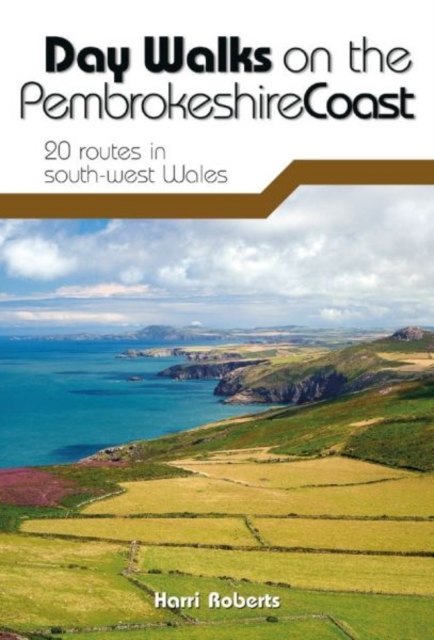
- Day Walks on the Pembrokeshire Coast
- 20 routes in south-west Wales Read more
- Also available from:
- De Zwerver, Netherlands
- Stanfords, United Kingdom
De Zwerver
Netherlands
2018
Netherlands
2018
- Wandelgids Day Walks on the Pembrokeshire Coast | Vertebrate Publishing
- Day Walks on the Pembrokeshire Coast features 20 classic coastal routes between 6.5 miles and 13 miles (10.4km and 20.8km) in length, suitable for hillwalkers of all abilities. Local author and walker Harri Roberts shares his favourite walks in the national park, including a meander along Bosherston Lily Ponds - a series of interconnected... Read more

Stanfords
United Kingdom
2018
United Kingdom
2018
- Day Walks on the Pembrokeshire Coast: 20 routes in south-west Wales
- Day Walks on the Pembrokeshire Coast features 20 classic coastal routes between 6.5 miles and 13 miles (10.4km and 20.8km) in length, suitable for hillwalkers of all abilities. Local author and walker Harri Roberts shares his favourite walks in the national park, including a meander along Bosherston Lily Ponds - a series of interconnected... Read more

- Also available from:
- De Zwerver, Netherlands
- Stanfords, United Kingdom
De Zwerver
Netherlands
2015
Netherlands
2015

Stanfords
United Kingdom
2015
United Kingdom
2015
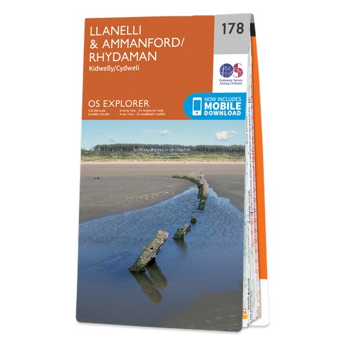
- Llanelli & Ammanford - Kidwelly OS Explorer Map 178 (paper)
- Llanelli, Ammanford and Kidwelly area on a detailed topographic and GPS compatible map No. 178, paper version, from the Ordnance Survey’s 1:25,000 Explorer series.MOBILE DOWNLOADS: this title and all the other OS Explorer maps include a code for downloading after purchase the digital version onto your smartphone or tablet for viewing on the OS... Read more
Karten

The Book Depository
United Kingdom
United Kingdom
- Gloucester and Cheltenham
- Gloucester and Cheltenham area at 1:25,000 in a series of Walker Read more

- Also available from:
- De Zwerver, Netherlands


The Book Depository
United Kingdom
United Kingdom
- Walkers Map Brecon and The Black Mountains
- Brecon and The Black Mountains at 1:25,000 in a series of Walker Read more

The Book Depository
United Kingdom
United Kingdom
- North York Moors (Eastern)
- The eastern part of the North Yorkshire Moors at 1:25,000 in a series of Walker Read more
- Also available from:
- Stanfords, United Kingdom

Stanfords
United Kingdom
United Kingdom
- North York Moors East 25K AA/OS Walker`s Map No. 12
- The eastern part of the North Yorkshire Moors at 1:25,000 in a series of Walker’s Maps published by the AA with the cartography from the Ordnance Survey’s Explorer series. The map is double-sided and coverage includes the North Yorks Moors National Park, Scarborough, Robin Hood’s Bay, Whitby, Lythe, Staithes, Loftus, Goathland,... Read more

The Book Depository
United Kingdom
2022
United Kingdom
2022
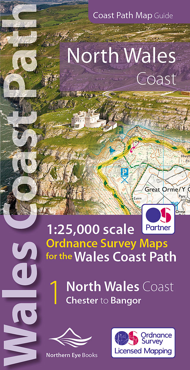
- North Wales Coast Path Map
- 1:25,000 scale Ordnance Survey mapping for the Wales Coast Path Read more
- Also available from:
- De Zwerver, Netherlands
- Stanfords, United Kingdom
De Zwerver
Netherlands
2022
Netherlands
2022
- Wandelkaart North Wales Coast Path Map | Northern Eye Books
- One of seven handy, lightweight, pocket sized map bookscovering the whole of the 870 mile/1400 kilometre Wales Coast Path. This volume covers North Wales from Chester to Bangor and includes enhanced large scale (1:25,000) Ordnance Survey mapping in a handy atlas format, with extracts from large scale Explorer maps 266, 265, 264 and OL17.The... Read more

Stanfords
United Kingdom
2022
United Kingdom
2022
- North Wales Coast - Chester to Bangor - Wales Coast Path Map-Booklet
- One of seven handy, lightweight, pocket sized map bookscovering the whole of the 870 mile/1400 kilometre Wales Coast Path. This volume covers North Wales from Chester to Bangor and includes enhanced large scale (1:25,000) Ordnance Survey mapping in a handy atlas format, with extracts from large scale Explorer maps 266, 265, 264 and OL17.The... Read more

The Book Depository
United Kingdom
United Kingdom
- West and Central Brecon Beacons
- West and Central Brecon Beacons at 1:25,000 in a series of Walker Read more
- Also available from:
- Stanfords, United Kingdom

Stanfords
United Kingdom
United Kingdom
- West & Central Brecon Beacons AA Walker`s Map 18
- West and Central Brecon Beacons at 1:25,000 in a series of Walker’s Maps published by the AA with the cartography from the Ordnance Survey’s Explorer series. The map is double-sided and coverage includes Brecon beacons National Park, Merthyr Tydfil, Brecon, Trecastle, Llandovery, Llanwrda, Llandeilo, etc.Maps in the AA Walker’s series are... Read more

The Book Depository
United Kingdom
United Kingdom
- Eastbourne and Beachy Head
- Eastbourne and Beachy Head at 1:25,000 in a series of Walker Read more
- Also available from:
- Stanfords, United Kingdom

Stanfords
United Kingdom
United Kingdom
- Eastbourne & Beachy Head AA Walker`s Map 30
- Eastbourne and Beachy Head at 1:25,000 in a series of Walker’s Maps published by the AA with the cartography from the Ordnance Survey’s Explorer series. Coverage includes Seven Sisters and the Cuckmere Haven, the start of the South Downs Way, Seaford, Newhaven, Alfriston, Firle, Glynde, Ringmer, Uckfield, Buxted, Heathfield, Herstmonceux,... Read more

The Book Depository
United Kingdom
United Kingdom
- Snowdon and The Conwy Valley
- Snowdon and the Conwy Valley at 1:25,000 in a series of Walker Read more
- Also available from:
- Stanfords, United Kingdom

Stanfords
United Kingdom
United Kingdom
- Snowdon & The Conway Valley AA Walker`s Map 4
- Snowdon and the Conwy Valley at 1:25,000 in a series of Walker’s Maps published by the AA with the cartography from the Ordnance Survey’s Explorer series. The map is double-sided and coverage includes parts of the New Forest National Park, Bangor, Caernarfon, Llanberis, Llanwnda, Rhyd-Ddu, Batws-y-Coed, Capel Curig, Tal-y-Bont, Llanfairfechan,... Read more

- Also available from:
- Stanfords, United Kingdom

Stanfords
United Kingdom
United Kingdom
- Exmoor AA Walker`s Map 13
- Exmoor at 1:25,000 in a series of Walker’s Maps published by the AA with the cartography from the Ordnance Survey’s Explorer series. The map is double-sided and coverage includes the Exmoor National Park, Ilfracombe, Combe Martin, Lynton, Porlock, Minehead, Williton, Exford, Dulverton, Brayford, Barnstaple, etc.Maps in the AA Walker’s series... Read more
De Zwerver
Netherlands
Netherlands
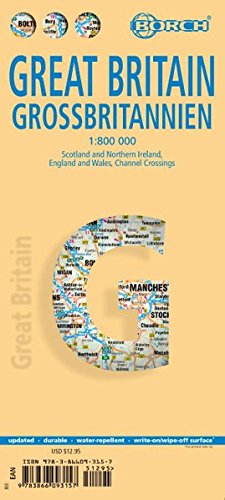
- Wegenkaart - landkaart Groot - Brittannië | Borch
- Grossbritannien / Great Britain 1 : 800 000 ab 9.9 EURO Scotland and Northern Ireland, England and Wales, Channel Crossings Borch Map. 13. Auflage Read more
Weitere …