
Sussex
Beschreibung
Links
Fakten
Berichte
Führer und Karten
Übernachtung
Organisationen
Reisebüros
GPS
Sonstiges
Bücher

- Also available from:
- Stanfords, United Kingdom

Stanfords
United Kingdom
2019
United Kingdom
2019
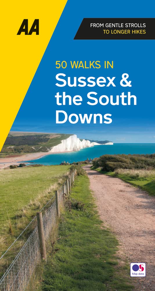
- Sussex: AA 50 Walks
- Walking is one of Britain`s favourite leisure activities, and AA 50 Walks in Sussex features a variety of mapped walks of two to ten miles, to suit all abilities. The book features all the practical detail you need, accompanied by fascinating background reading on the history and wildlife of Sussex, and clear full colour mapping for ease of... Read more

The Book Depository
United Kingdom
United Kingdom
- Also available from:
- Stanfords, United Kingdom

Stanfords
United Kingdom
United Kingdom
- Eastbourne & Beachy Head - Newhaven, Seaford, Hailsham & Heathfield OS Explorer Active Map 123 (waterproof)
- Eastbourne & Beachy Head area of Sussex on a detailed topographic and GPS compatible map No. 123, waterproof version, from the Ordnance Survey’s 1:25,000 Explorer series. Coverage along the coast extends westwards from Pevensey and the Pevensey Levels to Newhaven, inland to Heathfield and Uckfield, and includes Birling Gap, the Seven Sisters... Read more

- Also available from:
- De Zwerver, Netherlands
- Stanfords, United Kingdom
De Zwerver
Netherlands
Netherlands

Stanfords
United Kingdom
United Kingdom
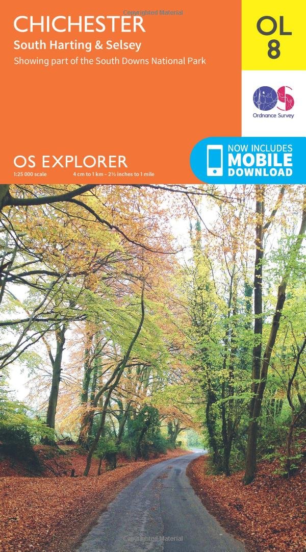
- Chichester, South Harting & Selsey OS Explorer Map OL8 (paper)
- Chichester, South Harting and Selsey area of Sussex and Hampshire on a detailed topographic and GPS compatible map OL8, paper version, from the Ordnance Survey’s 1:25,000 Explorer series. Coverage along the coast extends from Pagham westwards across Selsey Bill and Hayling Island to Langstone Harbour, and includes part of the South Downs... Read more

- Also available from:
- Stanfords, United Kingdom

Stanfords
United Kingdom
United Kingdom
- Trekking the South Downs Way: Two-way trekking guide
- The South Downs Way leads you on an unforgettable journey of discovery through the magnificent chalk hills of Sussex and Hampshire. It travels the length of the South Downs National Park across wonderful hills and meadows bedecked with wildflowers, through endless fields of shimmering golden corn and along the edge of the epic white cliffs of... Read more

- Also available from:
- Stanfords, United Kingdom

Stanfords
United Kingdom
United Kingdom
- Haslemere & Petersfield - Midhurst & Selborne OS Explorer Active Map OL33 (waterproof)
- Haslemere and Petersfield area of Hampshire, Sussex and Surrey on a detailed topographic and GPS compatible map OL33, waterproof version, from the Ordnance Survey’s 1:25,000 Explorer series. Coverage extends from Alton and Witley southwards to Midhurst, and includes parts of the South Downs National Park and the Surrey Downs Area of Outstanding... Read more

The Book Depository
United Kingdom
United Kingdom
- Walks for All Ages in West Sussex
- 20 Short Walks for All the Family Read more

The Book Depository
United Kingdom
2019
United Kingdom
2019
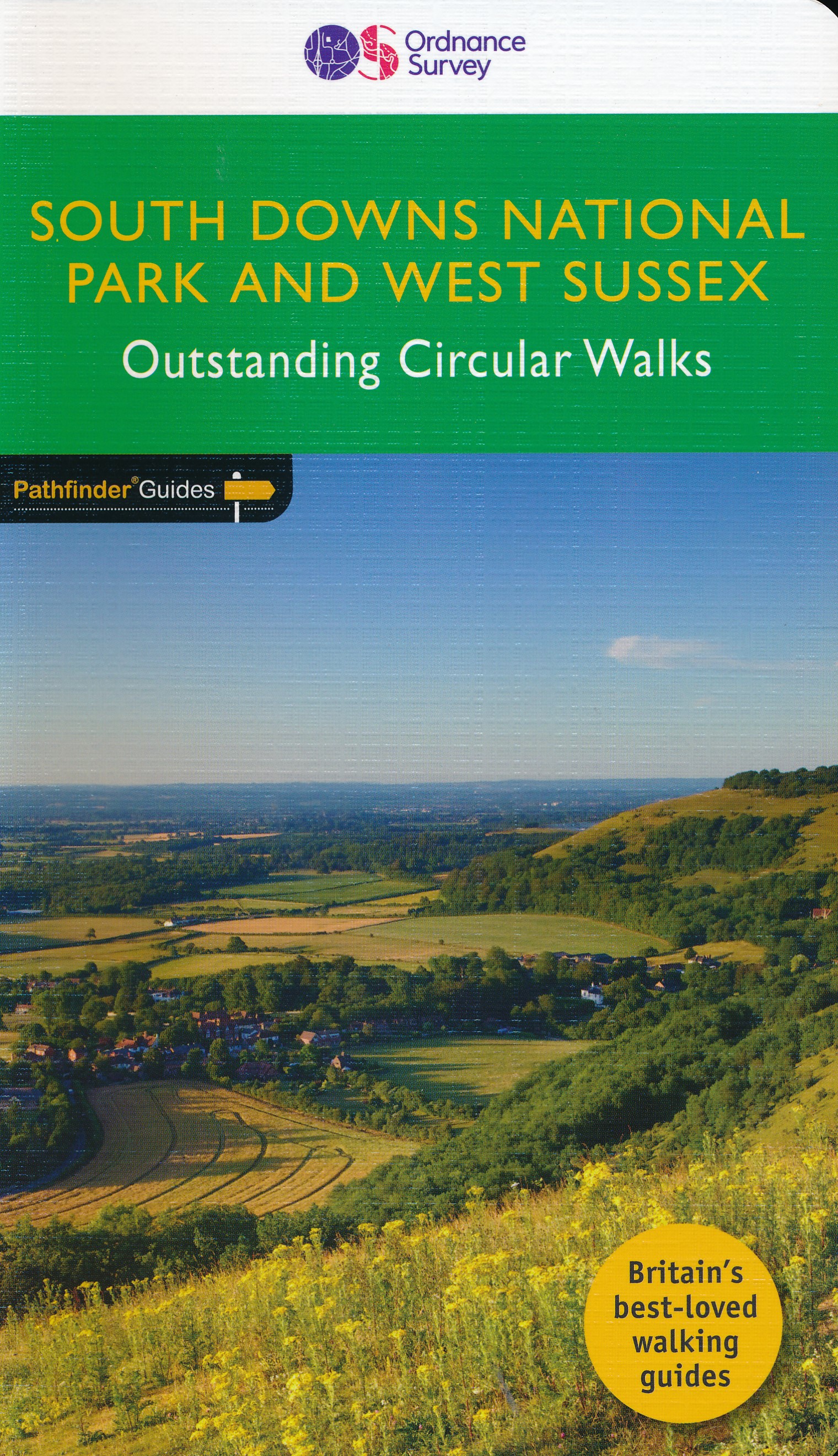
- West Sussex & the South Downs Walks 2019
- The Pathfinder(R) Guide to West Sussex & the South Downs Walks contains 28 fantastic circular walks across the county, much of which lies inside the new South Downs National Park. Walkers of all abilities can experience a variety of walking routes in a range of difficulty with this Pathfinder(R) guide which takes you from gentle riverside... Read more
- Also available from:
- De Zwerver, Netherlands
- Stanfords, United Kingdom
De Zwerver
Netherlands
2019
Netherlands
2019
- Wandelgids 66 Pathfinder Guides West Sussex and the South Downs National Park | Ordnance Survey
- The Pathfinder(R) Guide to West Sussex & the South Downs Walks contains 28 fantastic circular walks across the county, much of which lies inside the new South Downs National Park. Walkers of all abilities can experience a variety of walking routes in a range of difficulty with this Pathfinder(R) guide which takes you from gentle riverside... Read more

Stanfords
United Kingdom
2019
United Kingdom
2019
- West Sussex & the South Downs Walks
- The Pathfinder(R) Guide to West Sussex & the South Downs Walks contains 28 fantastic circular walks across the county, much of which lies inside the new South Downs National Park. Walkers of all abilities can experience a variety of walking routes in a range of difficulty with this Pathfinder(R) guide which takes you from gentle riverside... Read more

- Also available from:
- De Zwerver, Netherlands
- Stanfords, United Kingdom
De Zwerver
Netherlands
Netherlands

Stanfords
United Kingdom
United Kingdom
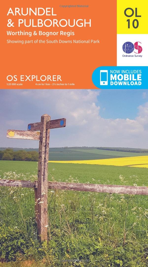
- Arundel & Pulborough - Worthing & Bognor Regis OS Explorer Map OL10 (paper)
- Arundel and Pulborough area of Sussex on a detailed topographic and GPS compatible map OL10, paper version, from the Ordnance Survey’s 1:25,000 Explorer series. Coverage along the coast extends from east of Worthing across Littlehampton to west of Bognor Regis and inland to Pulborough, and includes part of the South Downs National Park with a... Read more
The Book Depository
United Kingdom
United Kingdom
- East Sussex Dog Friendly Pub Walks
- 20 Countryside Dog Walks & the Best Places to Stop Read more

- Also available from:
- Stanfords, United Kingdom

Stanfords
United Kingdom
United Kingdom
- Crawley & Horsham - Cranleigh & Billingshurst OS Explorer Active Map OL34 (waterproof)
- Crawley and Horsham area of Sussex and Surrey on a detailed topographic and GPS compatible map OL34, waterproof version, from the Ordnance Survey’s 1:25,000 Explorer series. Coverage extends from Cranleigh and Crawley in the north to Hickstead and Bedham, and includes Billinghurst, Nymans, part of the High Weald Area of Outstanding Natural... Read more

The Book Depository
United Kingdom
United Kingdom
- Also available from:
- De Zwerver, Netherlands
- Stanfords, United Kingdom

De Zwerver
Netherlands
Netherlands

Stanfords
United Kingdom
United Kingdom
- Eastbourne & Beachy Head - Newhaven, Seaford, Hailsham & Heathfield OS Explorer Map OL25 (paper)
- Eastbourne & Beachy Head area of Sussex on a detailed topographic and GPS compatible map OL25, paper version, from the Ordnance Survey’s 1:25,000 Explorer series. Coverage along the coast extends westwards from Pevensey and the Pevensey Levels to Newhaven, inland to Heathfield and Uckfield, and includes Birling Gap, the Seven Sisters coastline,... Read more

The Book Depository
United Kingdom
2020
United Kingdom
2020
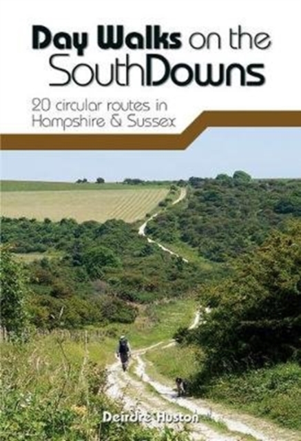
- Day Walks on the South Downs
- 20 circular routes in Hampshire & Sussex Read more
- Also available from:
- De Zwerver, Netherlands
- Stanfords, United Kingdom
De Zwerver
Netherlands
2020
Netherlands
2020
- Wandelgids Day Walks n the South Downs | Vertebrate Publishing
- 20 circular routes in Hampshire & Sussex Read more

Stanfords
United Kingdom
2020
United Kingdom
2020
- Day Walks on the South Downs: 20 circular routes in Hampshire & Sussex
- Day Walks on the South Downs features 20 circular routes, between 6 and 14 miles (9km and 22km) in length, suitable for hill walkers of all abilities.The routes are split into three geographical areas - Hampshire, West Sussex and East Sussex - and include walks to the most historic and beautiful areas of the South Downs National Park, including... Read more

- Also available from:
- De Zwerver, Netherlands
- Stanfords, United Kingdom

De Zwerver
Netherlands
Netherlands

Stanfords
United Kingdom
United Kingdom
- Haslemere & Petersfield - Midhurst & Selborne OS Explorer Map OL33 (paper)
- Haslemere and Petersfield area of Hampshire, Sussex and Surrey on a detailed topographic and GPS compatible map OL33, paper version, from the Ordnance Survey’s 1:25,000 Explorer series. Coverage extends from Alton and Witley southwards to Midhurst, and includes parts of the South Downs National Park and the Surrey Downs Area of Outstanding... Read more

- Also available from:
- De Zwerver, Netherlands
Karten

Stanfords
United Kingdom
United Kingdom
- Surrey & West Sussex Cycle Tours
- ”Surrey and West Sussex” is one of 10 titles in the updated ”Cycle Tours” series. The series has now been in continuous print for more than 15 years and with regular route revisions and updating the successful formula has gathered a large following. Each book in the series contains 20 routes all of which are either totally new or have been... Read more

Stanfords
United Kingdom
United Kingdom
- Kent & East Sussex Cycle Tours
- ”Kent and East Sussex” is one of 10 titles in the ”Cycle Tours” series. The series has now been in continuous print for more than 15 years and with regular route revisions and updating the successful formula has gathered a large following.Each book in the series contains 20 routes all of which are either totally new or have been re-ridden and... Read more