
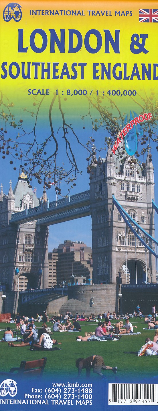
London
Beschreibung
Capital of the United Kingdom. All sorts of walks. The Thames Path runs right through the city center and you can hop on the London Eye after being fooled at the ticket counter and view forward and backward on your trail.
Wanderwege Region
Links
Fakten
Berichte
Führer und Karten
Übernachtung
Organisationen
Reisebüros
GPS
Sonstiges
Bücher

- Also available from:
- De Zwerver, Netherlands
- Stanfords, United Kingdom

Stanfords
United Kingdom
2017
United Kingdom
2017
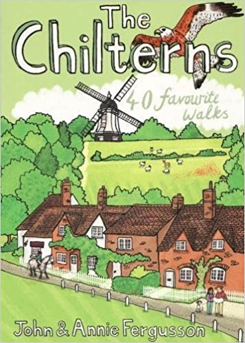
- The Chilterns: 40 Favourite Walks
- With some of the most picturesque countryside in England, yet only a short hop from London, the Chiltern Hills are just waiting to be explored. The glorious views from high ridges, ancient woodlands brimming with wildlife and downs alive with wild flowers and butterflies make the Chilterns and the communities within them English to the core.... Read more

- Also available from:
- De Zwerver, Netherlands
- Stanfords, United Kingdom

De Zwerver
Netherlands
2015
Netherlands
2015

Stanfords
United Kingdom
2015
United Kingdom
2015
- Windsor - Weybridge & Bracknell OS Explorer Map 160 (paper)
- Windsor, Weybridge and Bracknell area on a detailed topographic and GPS compatible map No. 160, paper version, from the Ordnance Survey’s 1:25,000 Explorer series. MOBILE DOWNLOADS: this title and all the other OS Explorer maps include a code for downloading after purchase the digital version onto your smartphone or tablet for viewing on the OS... Read more

The Book Depository
United Kingdom
United Kingdom
- London LOOP - London Outer Orbital Path (Trailblazer British Walking Guides)
- 48 Trail maps (at just under 1:20,000), Places to stay and eat, public transport information Read more

The Book Depository
United Kingdom
2023
United Kingdom
2023
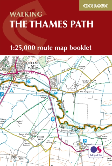
- The Thames Path Map Booklet
- 1:25,000 OS Route Map Booklet Read more
- Also available from:
- De Zwerver, Netherlands
De Zwerver
Netherlands
2023
Netherlands
2023
- Wandelgids The Thames Path | Cicerone
- 1:25,000 OS Route Map Booklet Read more

The Book Depository
United Kingdom
United Kingdom
- A -Z Edinburgh Hidden Walks
- Discover 20 Routes in and Around the City Read more
- Also available from:
- Stanfords, United Kingdom

Stanfords
United Kingdom
United Kingdom
- A-Z Edinburgh Hidden Walks: Discover 20 routes in and around the city
- Discover hidden gems around Edinburgh. Featuring 20 walking routes in and around the city, including lesser-known circuits and details on popular walks. Accompanied by guided walking instructions and written by a local expert, A-Z Edinburgh Hidden Walks is the perfect way to explore the city in a new light. Small enough to fit in a bag... Read more

- Also available from:
- De Zwerver, Netherlands
- Stanfords, United Kingdom

De Zwerver
Netherlands
Netherlands

Stanfords
United Kingdom
United Kingdom
- Maidstone, Royal Tunbridge Wells, Sevenoaks & Tonbridge OS Landranger Map 188 (paper)
- Maidstone, Tunbridge Wells and the High Weald area, including a section of the North Downs Way / E2 European Long-distance Path, on a paper version of map No. 188 from the Ordnance Survey’s Landranger series at 1:50,000, with contoured and GPS compatible topographic mapping plus tourist information.MOBILE DOWNLOADS: As well as the physical... Read more

The Book Depository
United Kingdom
United Kingdom
- Moon Ireland (Third Edition)
- Castles, Cliffs, and Lively Local Spots Read more
- Also available from:
- Stanfords, United Kingdom

Stanfords
United Kingdom
United Kingdom
- Moon Ireland (Third Edition): Castles, Cliffs, and Lively Local Spots
- From its stirring legends to its stunning landscapes, Ireland is a living, breathing fairy-tale. Ignite your imagination with Moon Ireland. Inside you`ll find:*Flexible itineraries from a two-week ”Best of Ireland” adventure or a weekend in Dublin to 3-day tours of southern, northern, and coastal Ireland that can be combined into a longer... Read more

- Also available from:
- Stanfords, United Kingdom

Stanfords
United Kingdom
United Kingdom
- Aldershot, Guildford, Camberley & Haslemere OS Landranger Active Map 186 (waterproof)
- Aldershot and Guildford area, including the northern part of the South Downs National Park and a section of the North Downs Way / E2 European Long-distance Path, on a waterproof and tear-resistant OS Active version of map No. 186 from the Ordnance Survey’s Landranger series at 1:50,000, with contoured and GPS compatible topographic mapping plus... Read more

The Book Depository
United Kingdom
United Kingdom
- Walking Dickens' London
- Written by the acclaimed historical novelist Lee Jackson, this book recreates the sights and sounds of Dickens' London and provides a detailed itinerary for those keen to follow in the footsteps of 'The Inimitable Boz'. Each of the eight walks conjures up forgotten scenes of London life - stage-coaches racing through the Borough; herds of... Read more
- Also available from:
- Stanfords, United Kingdom

Stanfords
United Kingdom
United Kingdom
- Walking Dickens` London
- Written by the acclaimed historical novelist Lee Jackson, this book recreates the sights and sounds of ”Dickens` London” and provides a detailed itinerary for those keen to follow in the footsteps of `The Inimitable Boz`. Each of the eight walks conjures up forgotten scenes of London life - stage-coaches racing through the Borough; herds of... Read more

- Also available from:
- Stanfords, United Kingdom

Stanfords
United Kingdom
United Kingdom
- Peterborough, Market Deeping & Chatteris OS Landranger Active Map 142 (waterproof)
- The area around Peterborough, Market Deeping and Chatteris, including the Fens of the North and Middle Levels with part of the E2 European Long-distance Path, on a waterproof and tear-resistant OS Active version of map No. 142 from the Ordnance Survey’s Landranger series at 1:50,000, with contoured and GPS compatible topographic mapping plus... Read more

The Book Depository
United Kingdom
United Kingdom
- Walking London, Updated Edition
- Thirty Original Walks In and Around London Read more
- Also available from:
- Stanfords, United Kingdom

Stanfords
United Kingdom
United Kingdom
- Walking London: Thirty Original Walks in and Around London
- ”Walking London” is the essential companion for any urban explorer visitor or native committed to discovering the true heart of one of the world`s greatest capital cities. In 30 original walks, distinguished historian Andrew Duncan reveals miles of London`s endlessly surprising landscape. From wild heathland to formal gardens, cobbled mews to... Read more

- Also available from:
- Stanfords, United Kingdom

Stanfords
United Kingdom
United Kingdom
- The Heath: My Year on Hampstead Heath
- An engaging and supremely well-observed portrait of Hampstead Heath - a place rich not just in natural wonders but in history and monuments, emotions and memories, people and places.The eight hundred acres of Hampstead Heath lie just four miles from central London; and yet unlike the manicured inner-city parks, it feels like the countryside: it... Read more


- Also available from:
- De Zwerver, Netherlands
- Stanfords, United Kingdom
De Zwerver
Netherlands
2015
Netherlands
2015

Stanfords
United Kingdom
2015
United Kingdom
2015
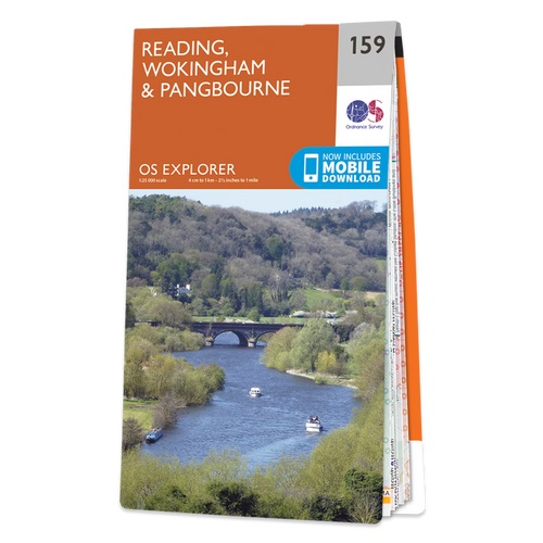
- Reading, Wokingham & Pangbourne OS Explorer Map 159 (paper)
- Reading, Wokingham and Pangbourne area on a detailed topographic and GPS compatible map No. 159, paper version, from the Ordnance Survey’s 1:25,000 Explorer series.MOBILE DOWNLOADS: this title and all the other OS Explorer maps include a code for downloading after purchase the digital version onto your smartphone or tablet for viewing on the OS... Read more

The Book Depository
United Kingdom
United Kingdom
- A -Z Oxford Hidden Walks
- Discover 20 Routes in and Around the City Read more
- Also available from:
- Stanfords, United Kingdom

Stanfords
United Kingdom
United Kingdom
- A-Z Oxford Hidden Walks: Discover 20 routes in and around the city
- Discover hidden gems around Oxford. Featuring 20 walking routes in and around the city, including lesser-known circuits and details on popular walks. Accompanied by guided walking instructions and written by a local expert, A-Z Oxford Hidden Walks is the perfect way to explore the city in a new light. Small enough to fit in a bag or... Read more
Karten
De Zwerver
Netherlands
2017
Netherlands
2017
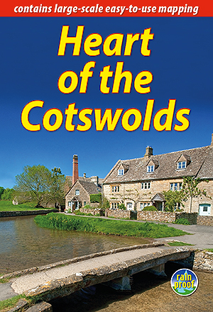
- Wandelgids Heart of the Cotswolds | Rucksack Readers
- The Cotswolds is quintessentially English, with its rich cultural history, medieval `wool` churches and charming domestic architecture of stone, slate and thatch. The book offers three options for walking in the heart of this wonderful area: a 94-mile (151-km) grand tour starting from Cheltenham, and two shorter circuits. These options cater... Read more
- Also available from:
- Stanfords, United Kingdom

Stanfords
United Kingdom
2017
United Kingdom
2017
- Heart of the Cotswolds
- The Cotswolds is quintessentially English, with its rich cultural history, medieval `wool` churches and charming domestic architecture of stone, slate and thatch. The book offers three options for walking in the heart of this wonderful area: a 94-mile (151-km) grand tour starting from Cheltenham, and two shorter circuits. These options cater... Read more


De Zwerver
Netherlands
Netherlands
- Wegenkaart - landkaart Europa - Europe | Borch
- Europa / Europe 1 : 4 000 000 ab 9.9 EURO Europe 1 : 4 000 000, Europe North, London, Paris, Rome/Roma / updated / durable / water-repellent / write-on/wipe-off surface Borch Maps. 15. Auflage Read more
De Zwerver
Netherlands
Netherlands
Stanfords
United Kingdom
United Kingdom
- Richmond and Ealing Past and Present
- London boroughs of Richmond and Ealing in the Cassini Past and Present map series which covers town and cities of England and Wales and offers a unique way of tracing their history and expansion by showing four different periods of their development using Ordnance Survey mapping from the mid-19th century, the late 19th century, the 1920s and... Read more


Stanfords
United Kingdom
United Kingdom
- London East 1805-1822
- Map No. 177, London East 1805-1822, in the Cassini Historical Series of old Ordnance Survey mapping of England and Wales at 1:50,000 in a format designed to offer a convenient comparison with the present day coverage from the OS, and most locations in three different editions. Old historical maps have been combined so that the sheet lines... Read more
Stanfords
United Kingdom
United Kingdom
- London East 1897-1902
- Map No. 177, London East 1897-1902, in the Cassini Historical Series of old Ordnance Survey mapping of England and Wales at 1:50,000 in a format designed to offer a convenient comparison with the present day coverage from the OS, and most locations in three different editions. Old historical maps have been combined so that the sheet lines... Read more

Stanfords
United Kingdom
United Kingdom
- London High 5 Edition Street Plan
- The first water-resistant “Comfort Map“ with direct access to useful additional information from the InternetLondon in a scale of 1:20,000 including tourist destinations (Hampstead Heath, Olympic Park and Greenwich) presented on a practical map; inclusive of the High 5 Edition app technology for calling up additional travel information and many... Read more

Stanfords
United Kingdom
United Kingdom
- London Greater London Street Finder PAPERBACK
- Detailed paperback street atlas covering the whole of Greater London at three different scales: 1:10,000 scale covers central London; 1:20,000 scale extends from Welwyn Garden City in the north to Gatwick Airport in the south and from Windsor in the west to Gravesend in the east; 1:63,360 scale extends from Highbury in the north to Clapham in... Read more
Stanfords
United Kingdom
United Kingdom
- London West 1920
- Map No. 176, London West 1920, in the Cassini Historical Series of old Ordnance Survey mapping of England and Wales at 1:50,000 in a format designed to offer a convenient comparison with the present day coverage from the OS, and most locations in three different editions. Old historical maps have been combined so that the sheet lines correspond... Read more
Stanfords
United Kingdom
United Kingdom
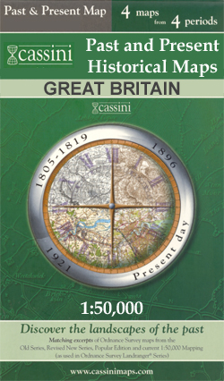
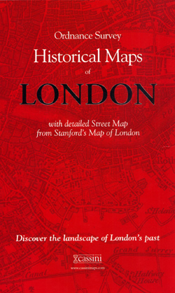
- London Historical Maps Box Set (5-map set)
- London Historical Set of five maps in the Cassini Historical Series reproducing old Ordnance Survey mapping of England and Wales at 1:50,000. The set consists of the four Cassini maps showing the capital between 1805 and 1948, and has as a bonus map a reproduction of Stanfords street plan London at six inches to one mile from 1891.The four... Read more