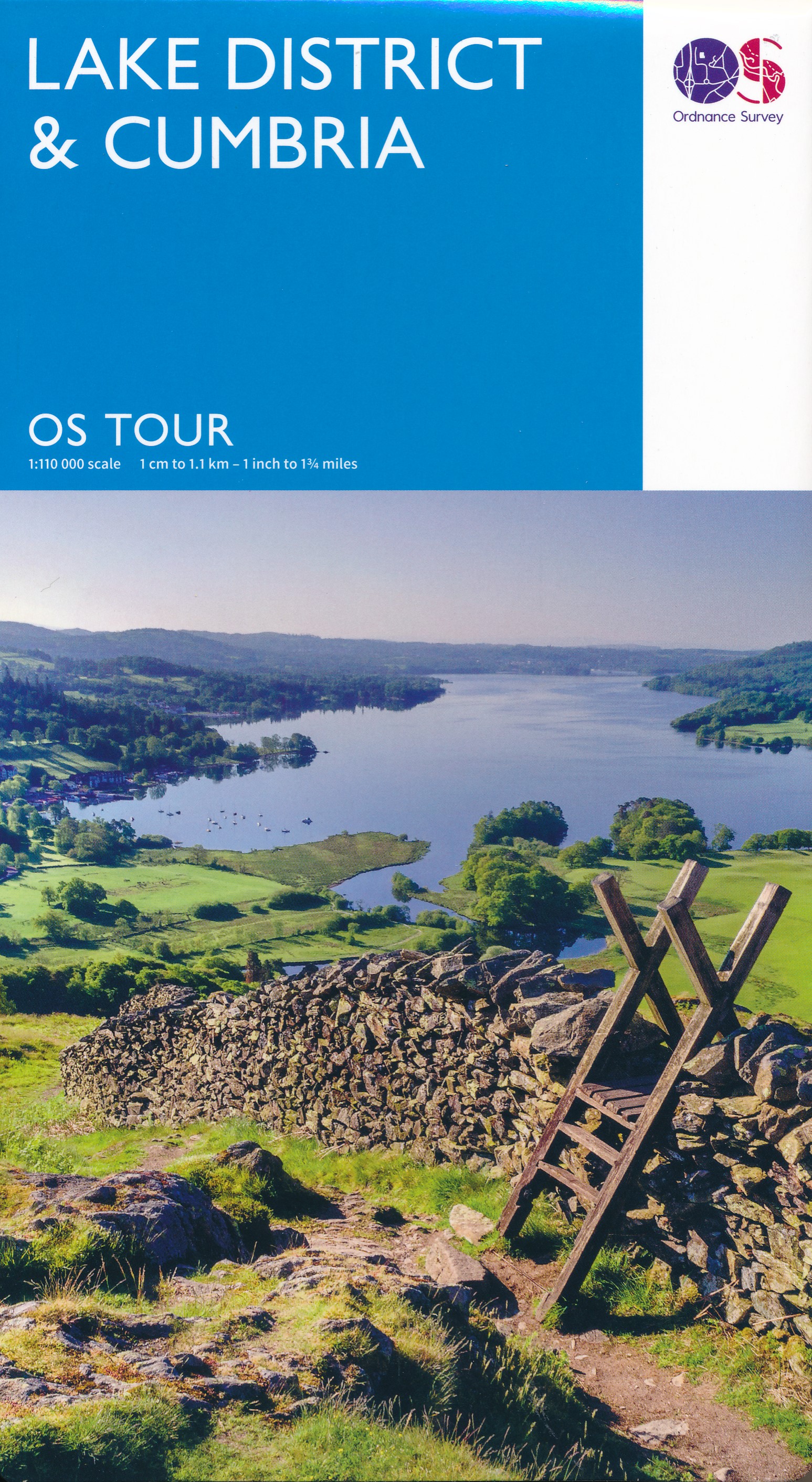
Lake District
Beschreibung
The Lake District in northwestern England is one of the most popular hiking and holiday destinations of England. The contrast between the wild, sometimes rugged mountains, and the friendly valleys is striking. The lakes offer excellent holiday entertainment. Speaking about the Lake District, one should not forget to mention the romantic poet William Wordsworth. You may find copies of his writings in the villages.
Several long distance hikes traverse the region. The Coast to Coast Path chooses some of the best scenery. But there is much more to enjoy. The extended network of well marked trails is awaiting you.
Wanderwege Region
Links
Fakten
Berichte
Führer und Karten
Übernachtung
Organisationen
Reisebüros
GPS
Sonstiges
Bücher

The Book Depository
United Kingdom
United Kingdom
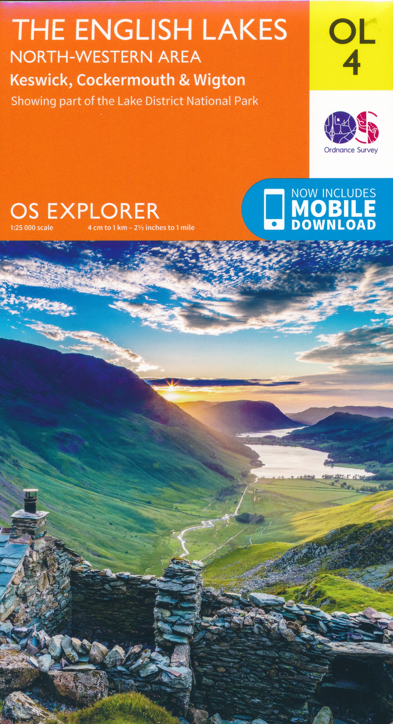
- The English Lakes - North-Western Area
- Keswick, Cockermouth & Wigton Read more
- Also available from:
- De Zwerver, Netherlands
De Zwerver
Netherlands
Netherlands
- Wandelkaart - Topografische kaart OL04 OS Explorer Map The English Lakes - North Western area | Ordnance Survey
- Keswick, Cockermouth & Wigton Read more

The Book Depository
United Kingdom
2018
United Kingdom
2018
- Fastpacking
- Multi-day running adventures: tips, stories and route ideas Read more


The Book Depository
United Kingdom
2019
United Kingdom
2019
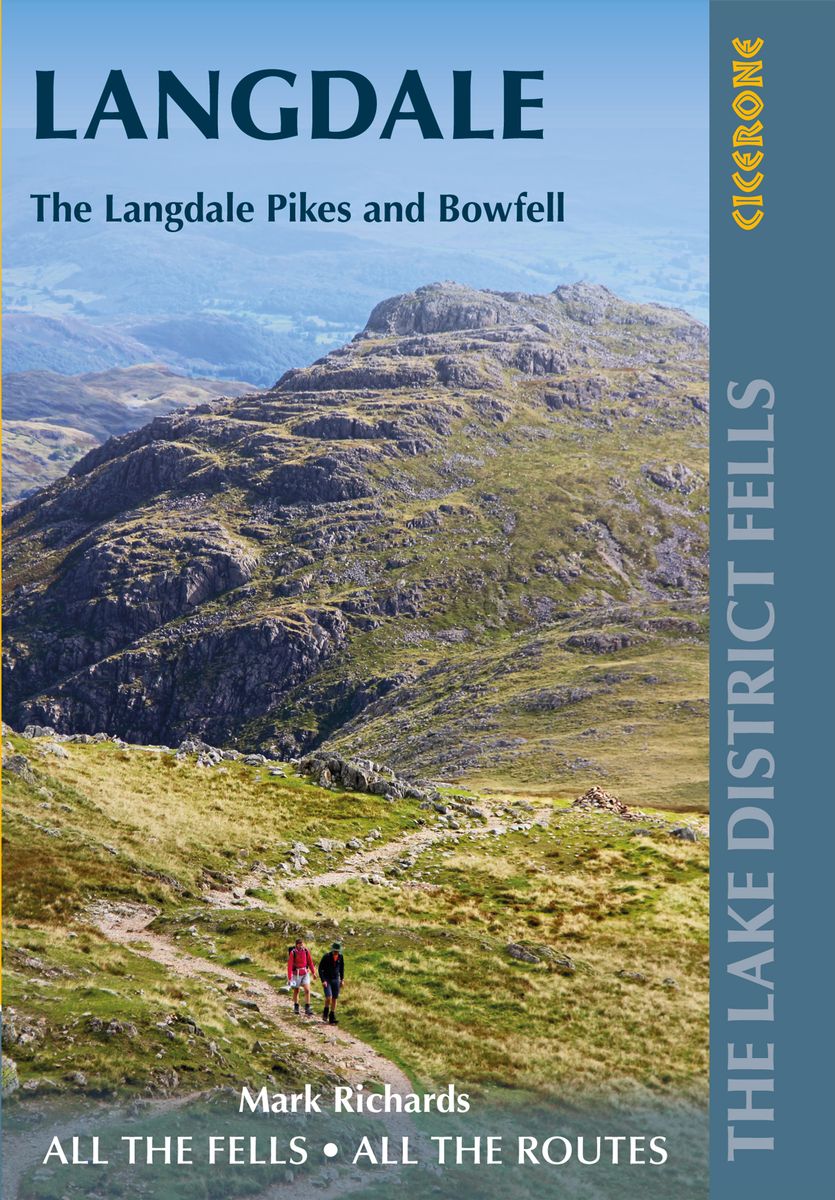
- Walking the Lake District Fells - Langdale
- The Langdale Pikes and Bowfell Read more
- Also available from:
- De Zwerver, Netherlands
De Zwerver
Netherlands
2019
Netherlands
2019
- Wandelgids The Lake District Fells Langdale | Cicerone
- Part of the Walking the Lake District Fells series, this guidebook covers a wide range of routes to 25 Lakeland summits that can be climbed from the Great Langdale valley, Ambleside and Grasmere, with highlights including Scafell Pike, Bowfell, the Langdale Pikes and Helm Crag (the Lion and the Lamb). Includes suggestions for longer ridge routes. Read more

The Book Depository
United Kingdom
United Kingdom
- Walking the Lake District Fells - Mardale and the Far East
- High Street and Kentmere Read more

- Also available from:
- De Zwerver, Netherlands
- Stanfords, United Kingdom
De Zwerver
Netherlands
2017
Netherlands
2017
- Wandelgids Yorkshire Dales | Pocket Mountains
- The Yorkshire Dales combine a wild limestone landscape of high rolling moorland gouged by dramatic caves and cascading waterfalls with peaceful farmland carpeted in wildflowers and dotted with ruined abbeys, ancient stone walls and barns, and timeless villages waiting to be discovered.The 40 moderate walks in this collection from award winning... Read more

Stanfords
United Kingdom
2017
United Kingdom
2017
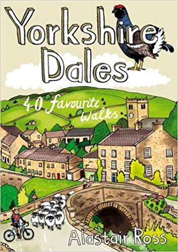
- Yorkshire Dales: 40 Favourite Walks
- The Yorkshire Dales combine a wild limestone landscape of high rolling moorland gouged by dramatic caves and cascading waterfalls with peaceful farmland carpeted in wildflowers and dotted with ruined abbeys, ancient stone walls and barns, and timeless villages waiting to be discovered.The 40 moderate walks in this collection from award winning... Read more

The Book Depository
United Kingdom
2021
United Kingdom
2021
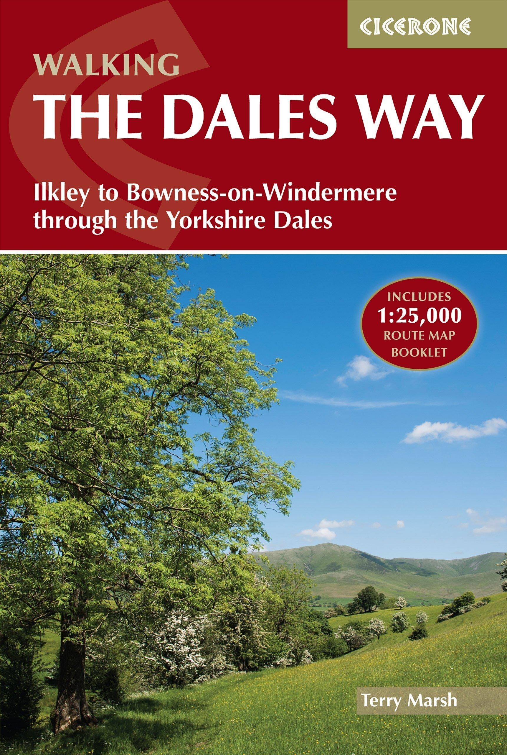
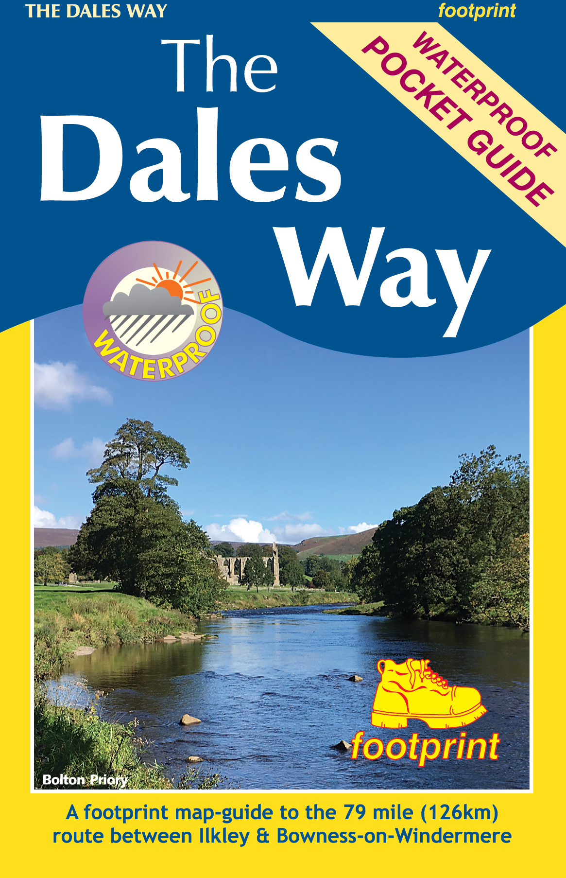
- Walking the Dales Way
- Ilkley to Bowness-on-Windermere through the Yorkshire Dales Read more
- Also available from:
- De Zwerver, Netherlands
- Stanfords, United Kingdom
De Zwerver
Netherlands
2021
Netherlands
2021
- Wandelgids The Dales Way | Cicerone
- A fully waymarked trail from Ilkley to Bowness-on-Windermere, the Dales Way links two of England`s most celebrated national parks, the Yorkshire Dales and the Lake District. Well served for accommodation and facilities, and with easy walking on riverside paths, it is one of the gentlest multi-day walks in Britain and therefore an ideal... Read more

Stanfords
United Kingdom
2021
United Kingdom
2021
- Walking the Dales Way: Ilkley to Bowness-on-Windermere through the Yorkshire Dales
- A fully waymarked trail from Ilkley to Bowness-on-Windermere, the Dales Way links two of England`s most celebrated national parks, the Yorkshire Dales and the Lake District. Well served for accommodation and facilities, and with easy walking on riverside paths, it is one of the gentlest multi-day walks in Britain and therefore an ideal... Read more

- Also available from:
- De Zwerver, Netherlands

The Book Depository
United Kingdom
2018
United Kingdom
2018
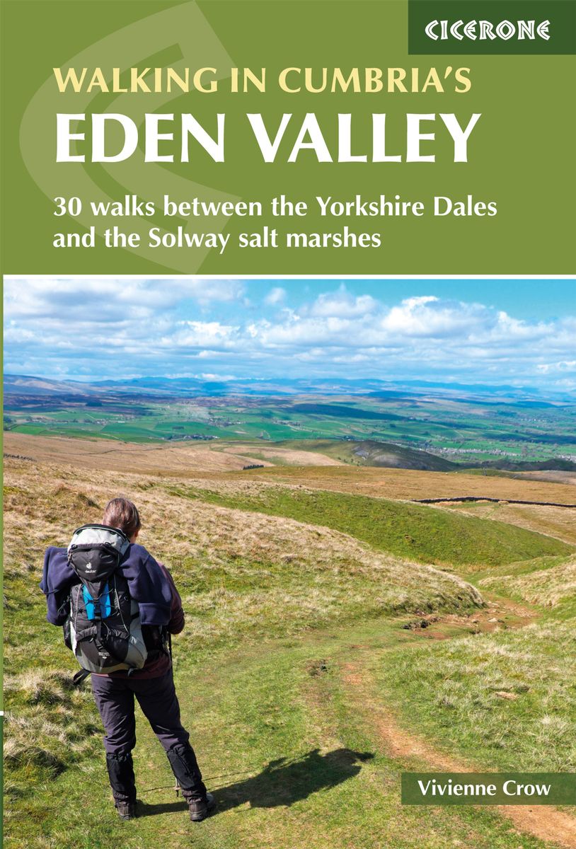
- Walking in Cumbria's Eden Valley
- 30 walks between the Yorkshire Dales and the Solway salt marshes Read more
- Also available from:
- De Zwerver, Netherlands
- Stanfords, United Kingdom
De Zwerver
Netherlands
2018
Netherlands
2018
- Wandelgids Walking in Cumbria's Eden Valley - Lake district | Cicerone
- Guidebook to 30 graded walks in Cumbria's Eden Valley. The routes, which range from 3 to 15 miles and are best from bases such as Kirkby Steven and Appleby, explore the region's diverse landscapes and offer dramatic views, either of the Pennines, the Lake District or the Scottish hills. Linear routes link with the Settle-Carlisle railway. Read more

Stanfords
United Kingdom
2018
United Kingdom
2018
- Walking in Cumbria`s Eden Valley: 30 walks between the Yorkshire Dales and the Solway salt marshes
- Guidebook to 30 of the best walks in Cumbria`s enchanting Eden Valley. The graded routes, which range from 3 to 15 miles, explore the region`s diverse landscapes and offer dramatic views, either of the Pennines, the Lake District or the Scottish hills. The walks, which work well from bases such as Kirkby Steven, Dufton and Appleby, are... Read more

- Also available from:
- De Zwerver, Netherlands
- Stanfords, United Kingdom
De Zwerver
Netherlands
Netherlands

Stanfords
United Kingdom
United Kingdom
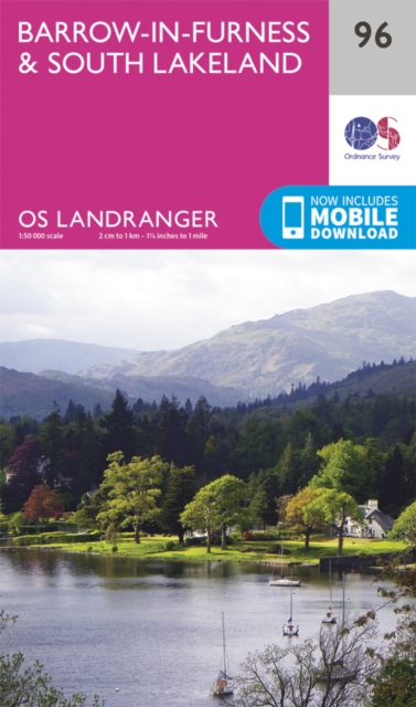
- Barrow-in-Furness & South Lakeland OS Landranger Map 96 (paper)
- Paper version of map No. 96 from the Ordnance Survey’s Landranger series at 1:50,000, with contoured and GPS compatible topographic mapping plus tourist information.MOBILE DOWNLOADS: As well as the physical edition of the map, each Landranger title now includes a code for downloading after purchase its digital version onto your smartphone or... Read more

The Book Depository
United Kingdom
2020
United Kingdom
2020
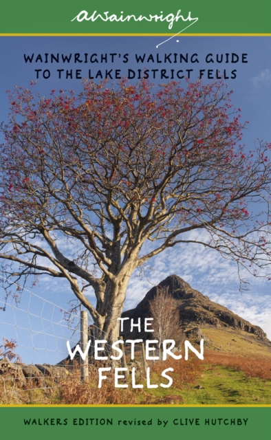
- The Western Fells
- Wainwright's Walking Guide to the Lake District Fells - Book 7 Read more
- Also available from:
- De Zwerver, Netherlands
- Stanfords, United Kingdom
De Zwerver
Netherlands
2020
Netherlands
2020
- Wandelgids The Western Fells | Lake District | Frances Lincoln
- Wainwright's Illustrated Walking Guide to the Lake District Book 7 Read more

Stanfords
United Kingdom
2020
United Kingdom
2020
- Western Fells - Book 7 (Revised Edition)
- One name above all others has become associated with walking in the Lake District: A. Wainwright, whose seven-volume Pictorial Guide to the Lakeland Fells, first published in 1955-66, has become the definitive guidebook. Wainwright`s meticulously hand-drawn maps, diagrams and drawings take you up the 214 principal hills and mountains of the... Read more

The Book Depository
United Kingdom
2021
United Kingdom
2021
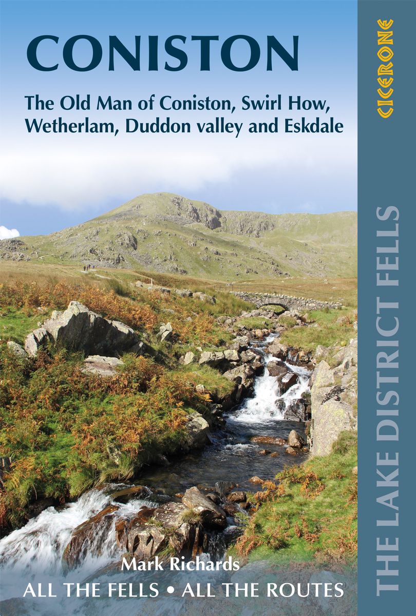
- Walking the Lake District Fells - Coniston
- The Old Man of Coniston, Swirl How, Wetherlam, Duddon valley and Eskdale Read more
- Also available from:
- De Zwerver, Netherlands
De Zwerver
Netherlands
2021
Netherlands
2021
- Wandelgids The Lake District Fells Coniston walking guide | Cicerone
- The Old Man of Coniston, Swirl How, Wetherlam, Duddon valley and Eskdale Read more


The Book Depository
United Kingdom
United Kingdom
- Walking the Wainwrights
- 64 Walks to Climb the 214 Wainwrights of Lakeland Read more
- Also available from:
- Stanfords, United Kingdom

Stanfords
United Kingdom
United Kingdom
- Walking the Wainwrights: 64 Walks to Climb the 214 Wainwrights of Lakeland
- In this book you`ll find 64 routes that, if you complete them all, by default you will also have completed the Wainwrights. A few of the summits are featured in more than one walk. That`s ok. You can do them more than once!Why do we need a guide book on the fells of the Lake District if Wainwright wrote seven of them? Well, I should say right... Read more

The Book Depository
United Kingdom
2014
United Kingdom
2014
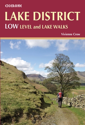
- Lake District: Low Level and Lake Walks
- Walking in the Lake District - Windermere, Grasmere and more Read more
- Also available from:
- De Zwerver, Netherlands
- Stanfords, United Kingdom
De Zwerver
Netherlands
2018
Netherlands
2018
- Wandelgids Lake District: Low Level and Lake Walks | Cicerone
- This guidebook describes 30 of the best low-level walks in the Lake District. From delightful wooded glades and sparkling tarns, to waterfalls and glacier-carved valleys towered over by craggy mountains. The walks described aim to seek out the best walking that the lower areas of the Lake District have to offer. Read more

Stanfords
United Kingdom
2014
United Kingdom
2014
- Lake District: Low Level and Lake Walks
- This guidebook offers 30 delightful but low-level graded day walks in the valleys, beside the lakes and on the low fells of the English Lake District, suitable for walkers of all abilities. Walkers who know the Lakes well may have missed some of the lower gems covered here and the gentler charms of the dales, woodlands and lakeside paths;... Read more
Karten

The Book Depository
United Kingdom
United Kingdom
- Topographical Map of the Lake District Wainwright Fells
- The fells of the Lake District shown on a contoured map at 1:100,000 approx. from Rivers Publishing, with on the reverse side tables showing the 214 fells grouped by location and each presented with its height and a column so the user can record the date climbed or other personal notes. Coverage extends from the Northern Fells group southwards... Read more
- Also available from:
- Stanfords, United Kingdom

Stanfords
United Kingdom
United Kingdom
- Topographical Map of the Lake District - Wainwright Fells
- The fells of the Lake District shown on a contoured map at 1:100,000 approx. from Rivers Publishing, with on the reverse side tables showing the 214 fells grouped by location and each presented with its height and a column so the user can record the date climbed or other personal notes. Coverage extends from the Northern Fells group southwards... Read more
The Book Depository
United Kingdom
United Kingdom
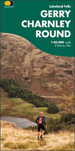
- Gerry Charnley Round
- Bob Graham Round, a 63km / 38 mile approx. circuit in the fells of the Lake District presented at 1:40,000 on a light, waterproof and tear-resistant map from Harvey Map Services. The circuit, first devised in 1984, includes Scafell and Scafell Pike but provides a shorter alternative to the better known and more challenging Bob Graham Round. The... Read more
- Also available from:
- Stanfords, United Kingdom

Stanfords
United Kingdom
United Kingdom
- Gerry Charnley Round in the Lakeland Fells
- Bob Graham Round, a 63km / 38 mile approx. circuit in the fells of the Lake District presented at 1:40,000 on a light, waterproof and tear-resistant map from Harvey Map Services. The circuit, first devised in 1984, includes Scafell and Scafell Pike but provides a shorter alternative to the better known and more challenging Bob Graham Round. The... Read more

The Book Depository
United Kingdom
United Kingdom
- Lake District Adventure Atlas
- The A-Z Adventure Series of maps combines the best of OS and A-Z, creating the perfect companion for walkers, off-road cyclists, horse riders and anyone wishing to explore the great outdoors.The Lake District is a National Park and a Unesco World Heritage Site in northwest England. It is a region rich in natural beauty with breathtaking views... Read more
- Also available from:
- Stanfords, United Kingdom

Stanfords
United Kingdom
United Kingdom
- Lake District A-Z Adventure Atlas
- The A-Z Adventure Series of maps combines the best of OS and A-Z, creating the perfect companion for walkers, off-road cyclists, horse riders and anyone wishing to explore the great outdoors.The Lake District is a National Park and a Unesco World Heritage Site in northwest England. It is a region rich in natural beauty with breathtaking views... Read more

The Book Depository
United Kingdom
2015
United Kingdom
2015
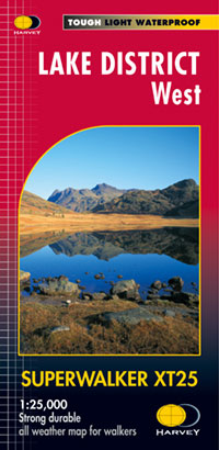
- Lake District West
- The western part of the Lake District at 1:25,000 on a light, waterproof and tear-resistant, GPS compatible, double-sided map from Harvey Map Services in their Superwalker series. Coverage includes Grasmere, Coniston, Torver, Wast Water, Coniston Water, the peaks of Scaffel and Scaffel Pike, etc. The whole of Lake District is covered on four... Read more
- Also available from:
- De Zwerver, Netherlands
- Stanfords, United Kingdom
De Zwerver
Netherlands
2015
Netherlands
2015
- Wandelkaart Lake District West | Harvey Maps
- The western part of the Lake District at 1:25,000 on a light, waterproof and tear-resistant, GPS compatible, double-sided map from Harvey Map Services in their Superwalker series. Coverage includes Grasmere, Coniston, Torver, Wast Water, Coniston Water, the peaks of Scaffel and Scaffel Pike, etc. The whole of Lake District is covered on four... Read more

Stanfords
United Kingdom
2015
United Kingdom
2015
- Lake District West Harvey Superwalker XT25
- The western part of the Lake District at 1:25,000 on a light, waterproof and tear-resistant map from Harvey Map Services in their Superwalker series. Coverage includes Grasmere, Coniston, Torver, Wast Water, Coniston Water, the peaks of Scaffel and Scaffel Pike, etc.PLEASE NOTE: this title is also available as a pocket-size Ultramap with its... Read more

The Book Depository
United Kingdom
2015
United Kingdom
2015
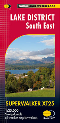
- Lake District South East
- The south-eastern part of the Lake District at 1:25,000 on a light, waterproof and tear-resistant, GPS compatible, double-sided map from Harvey Map Services in their Superwalker series. Coverage includes Kendal, Windermere, Bowness-on-Windermere, Coniston, Newby Bridge, Coniston Water, Lake Windermere, etc, and extends from Ambleside in the... Read more
- Also available from:
- De Zwerver, Netherlands
- Stanfords, United Kingdom
De Zwerver
Netherlands
2015
Netherlands
2015
- Wandelkaart Lake District Zuid Oost | Harvey Maps
- The south-eastern part of the Lake District at 1:25,000 on a light, waterproof and tear-resistant, GPS compatible, double-sided map from Harvey Map Services in their Superwalker series. Coverage includes Kendal, Windermere, Bowness-on-Windermere, Coniston, Newby Bridge, Coniston Water, Lake Windermere, etc, and extends from Ambleside in the... Read more

Stanfords
United Kingdom
2015
United Kingdom
2015
- Lake District South East Harvey Superwalker XT25
- The south-eastern part of the Lake District at 1:25,000 on a light, waterproof and tear-resistant map from Harvey Map Services in their Superwalker series. Coverage includes Kendal, Windermere, Bowness-on-Windermere, Coniston, Newby Bridge, Coniston Water, Lake Windermere, etc, and extends from Ambleside in the north to Newby Bridge in the... Read more

The Book Depository
United Kingdom
United Kingdom
- Lakes SE
- The south-eastern area of the Lake District on a detailed topographic and GPS compatible map OL7, waterproof version, from the Ordnance Survey’s 1:25,000 Explorer series. Coverage extends eastwards from Coniston and the northern part of the Coniston Water to the Killington Reservoir and includes Grasmere, Ambleside, Windermere, Kendal, Penny... Read more

The Book Depository
United Kingdom
United Kingdom
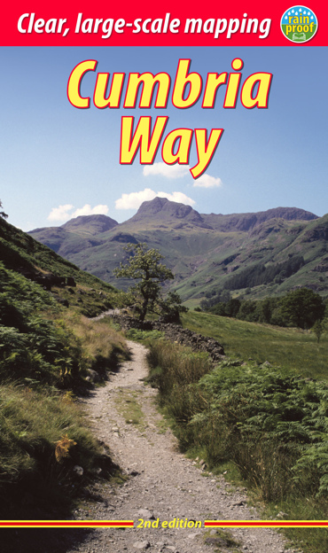
- Cumbria Way
- Cumbria Way, a 112km / 70 mile route liking Ulverston and Carlisle across the heart of the Lake District, presented at 1:40,000 on a light, waterproof and tear-resistant map from Harvey Map Services. The route is shown on five overlapping panels, with additional street plans of Carlisle, Keswick, and Ulverston.Maps in the Harvey Read more
- Also available from:
- De Zwerver, Netherlands
- Stanfords, United Kingdom

De Zwerver
Netherlands
Netherlands
- Wandelkaart Cumbria Way | Harvey Maps
- Cumbria Way, a 112km / 70 mile route liking Ulverston and Carlisle across the heart of the Lake District, presented at 1:40,000 on a light, waterproof and tear-resistant map from Harvey Map Services. The route is shown on five overlapping panels, with additional street plans of Carlisle, Keswick, and Ulverston.Maps in the Harvey Read more

Stanfords
United Kingdom
United Kingdom
- Cumbria Way Harvey National Trail XT40
- Cumbria Way, a 112km / 70 mile route liking Ulverston and Carlisle across the heart of the Lake District, presented at 1:40,000 on a light, waterproof and tear-resistant map from Harvey Map Services. The route is shown on five overlapping panels, with additional street plans of Carlisle, Keswick, and Ulverston.Maps in the Harvey’s series... Read more

The Book Depository
United Kingdom
United Kingdom
- Dales Way
- The Dales Way, a 135km / 85 mile route in the Yorkshire Dales and the Lake District National Parks, presented at 1:40,000 on a map from Harvey Map Services. The route itself, between Ilkley and Bowness-on-Windermere, is shown on six panels, with additional three panels covering the access to the start of the Dales Way in Ilkley from Leeds,... Read more
- Also available from:
- De Zwerver, Netherlands
- Stanfords, United Kingdom

De Zwerver
Netherlands
Netherlands
- Wandelkaart Dales Way | Harvey Maps
- The Dales Way, a 135km / 85 mile route in the Yorkshire Dales and the Lake District National Parks, presented at 1:40,000 on a map from Harvey Map Services. The route itself, between Ilkley and Bowness-on-Windermere, is shown on six panels, with additional three panels covering the access to the start of the Dales Way in Ilkley from Leeds,... Read more

Stanfords
United Kingdom
United Kingdom
- Dales Way Harvey National Trail XT40
- The Dales Way, a 135km / 85 mile route in the Yorkshire Dales and the Lake District National Parks, presented at 1:40,000 on a map from Harvey Map Services. The route itself, between Ilkley and Bowness-on-Windermere, is shown on six panels, with additional three panels covering the access to the start of the Dales Way in Ilkley from Leeds,... Read more

The Book Depository
United Kingdom
United Kingdom
- The Cumbria Way
- A Footprint Map-Guide to the 73-Mile Route Between Ulverston & Carlisle Read more
- Also available from:
- Stanfords, United Kingdom

Stanfords
United Kingdom
United Kingdom
- The Cumbria Way
- The waterproof Footprint map-guide to the Cumbria Way - the 73 mile (117km) route between Ulverstone and Carlisle. It generally follows well maintained paths and tracks through some of the Lake District`s finest scenery. This Footprint map is divided into 5 sections each portrayed on a separate panel. It is marked in miles, starting in... Read more
De Zwerver
Netherlands
2018
Netherlands
2018
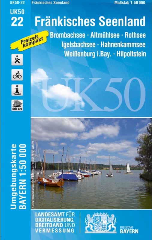
- Wandelkaart 22 UK50 Fränkisches Seenland | LVA Bayern
- Franconia Lake District, map no. 50-22 covering an area around Altmühlsee, Rothsee, Bronbachsee, Ingelsbachsee, Hahnenkamm and Dennenloher See, in a series of special contoured and GP-compatible recreational maps from the Bavarian state survey organization, with cartography of the German topographic survey at 1:50,000 and extensive additional... Read more
- Also available from:
- Stanfords, United Kingdom

Stanfords
United Kingdom
2018
United Kingdom
2018
- Franconia Lake District UK50-22
- Franconia Lake District, map no. 50-22 covering an area around Altmühlsee, Rothsee, Bronbachsee, Ingelsbachsee, Hahnenkamm and Dennenloher See, in a series of special contoured and GP-compatible recreational maps from the Bavarian state survey organization, with cartography of the German topographic survey at 1:50,000 and extensive additional... Read more
De Zwerver
Netherlands
2022
Netherlands
2022

De Zwerver
Netherlands
2015
Netherlands
2015
- Wandelkaart Lake District Noord | Harvey Maps
- The northern part of the Lake District at 1:25,000 on a light, waterproof and tear-resistant, GPS compatible, double-sided map from Harvey Map Services in their Superwalker series. Coverage includes Cockermouth, Keswick, Buttermere, Bassenthwaite Lake, Derwentwater, Thirlmere, Ennerdale Water, Crummock Water, the peak of Skiddaw, etc, and... Read more
- Also available from:
- Stanfords, United Kingdom

Stanfords
United Kingdom
2015
United Kingdom
2015
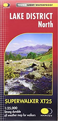
- Lake District North Harvey Superwalker XT25
- The northern part of the Lake District at 1:25,000 on a light, waterproof and tear-resistant map from Harvey Map Services in their Superwalker series. Coverage includes Cockermouth, Keswick, Buttermere, Bassenthwaite Lake, Derwentwater, Thirlmere, Ennerdale Water, Crummock Water, the peak of Skiddaw, etc, and extends south just beyond Ennerdale... Read more
Weitere …