
Cotswolds
Beschreibung
The charm of the Cotswold lies in its stone, the yellowish sandy chalk from which the inhabitants built their homes and villages. This is only one of its outstanding features. Others are its fertile woods and grazing lands, the fine views west over the Severn Valley where the chalk hills suddenly break down. There are many neolithic and iron age forts and settlements. Exploring the Cotswolds is best done on the Cotswold Way, a National Trail. The whole of the Cotswold is Area of Outstanding Natural Beauty.
Wanderwege Region
Links
Fakten
Berichte
Führer und Karten
Übernachtung
Organisationen
Reisebüros
GPS
Sonstiges
Bücher

- Also available from:
- De Zwerver, Netherlands
- Stanfords, United Kingdom

De Zwerver
Netherlands
Netherlands

Stanfords
United Kingdom
United Kingdom
- Bristol, Bath, Thornbury & Chew Magna OS Landranger Map 172 (paper)
- Bristol and Bath area, including the southern section of the Cotswold Way, on a paper version of map No. 172 from the Ordnance Survey’s Landranger series at 1:50,000, with contoured and GPS compatible topographic mapping plus tourist information.MOBILE DOWNLOADS: As well as the physical edition of the map, each Landranger title now includes a... Read more


- Also available from:
- De Zwerver, Netherlands
- Stanfords, United Kingdom

De Zwerver
Netherlands
Netherlands

Stanfords
United Kingdom
United Kingdom
- Thames Estuary, Rochester & Southend-on-Sea OS Landranger Map 178 (paper)
- Thames Estuary with Rochester and Southend-on-Sea, including a section of the North Downs Way / E2 European Long-Distance Path, on a paper version of map No. 178 from the Ordnance Survey’s Landranger series at 1:50,000, with contoured and GPS compatible topographic mapping plus tourist information.MOBILE DOWNLOADS: As well as the physical... Read more

The Book Depository
United Kingdom
United Kingdom
- Atchison's Walks: The Complete Hills of Britain
- ATCHISON's Complete Hills of Britain Series is a comprehensive guidebook series in 10 volumes. Each book divides a region of Britain into 50 separate walking areas, each with a major impressive hill to walk around - or ascend. It illustrates 3 superb walks for each area; a 2hr easy walk, a 3-4 hrs keep fit walk, and a challenging 5-7 hour walk... Read more
- Also available from:
- Stanfords, United Kingdom

Stanfords
United Kingdom
United Kingdom
- Atkinsons Walks V1 - Southern England
- ”ATCHISON`s Complete Hills of Britain Series” is a comprehensive guidebook series in 10 volumes. Each book divides a region of Britain into 50 separate walking areas, each with a major impressive hill to walk around - or ascend. It illustrates 3 superb walks for each area; a 2hr easy walk, a 3-4 hrs keep fit walk, and a challenging 5-7 hour... Read more

- Also available from:
- De Zwerver, Netherlands
- Stanfords, United Kingdom

De Zwerver
Netherlands
2015
Netherlands
2015

Stanfords
United Kingdom
2015
United Kingdom
2015
- Windsor - Weybridge & Bracknell OS Explorer Map 160 (paper)
- Windsor, Weybridge and Bracknell area on a detailed topographic and GPS compatible map No. 160, paper version, from the Ordnance Survey’s 1:25,000 Explorer series. MOBILE DOWNLOADS: this title and all the other OS Explorer maps include a code for downloading after purchase the digital version onto your smartphone or tablet for viewing on the OS... Read more

- Also available from:
- De Zwerver, Netherlands
- Stanfords, United Kingdom

De Zwerver
Netherlands
Netherlands

Stanfords
United Kingdom
United Kingdom
- Bury St Edmunds, Sudbury & Stowmarket OS Landranger Map 155 (paper)
- Suffolk around Bury St Edmunds, Sudbury and Stowmarket, including part of the E2 European Long-distance path, on a paper version of map No. 155 from the Ordnance Survey’s Landranger series at 1:50,000, with contoured and GPS compatible topographic mapping plus tourist information.MOBILE DOWNLOADS: As well as the physical edition of the map,... Read more

- Also available from:
- De Zwerver, Netherlands
- Stanfords, United Kingdom

De Zwerver
Netherlands
Netherlands

Stanfords
United Kingdom
United Kingdom
- Dorking, Reigate, Crawley & Horsham OS Landranger Map 187 (paper)
- Dorking and Reigate area, including a section of the North Downs Way / E2 European Long-distance Path, on a paper version of map No. 187 from the Ordnance Survey’s Landranger series at 1:50,000, with contoured and GPS compatible topographic mapping plus tourist information.MOBILE DOWNLOADS: As well as the physical edition of the map, each... Read more

The Book Depository
United Kingdom
2019
United Kingdom
2019
- Cotswold Way: Chipping Campden to Bath (Trailblazer British Walking Guides)
- Planning, Places to Stay, Places to Eat, 44 trail maps and 8 town plans Read more
- Also available from:
- Stanfords, United Kingdom

Stanfords
United Kingdom
2019
United Kingdom
2019
- Cotswold Way: Chipping Campden to Bath
- All-in-one hiking route guide and maps for the Cotswold Way, a 102-mile National Trail that runs from Chipping Campden to Bath, following the beautiful Cotswold escarpment for most of its course. This is the fully revised and updated 4th edition. The trail leads through quintessentially English countryside with little villages of... Read more

- Also available from:
- Stanfords, United Kingdom

Stanfords
United Kingdom
United Kingdom
- Aldershot, Guildford, Camberley & Haslemere OS Landranger Active Map 186 (waterproof)
- Aldershot and Guildford area, including the northern part of the South Downs National Park and a section of the North Downs Way / E2 European Long-distance Path, on a waterproof and tear-resistant OS Active version of map No. 186 from the Ordnance Survey’s Landranger series at 1:50,000, with contoured and GPS compatible topographic mapping plus... Read more

The Book Depository
United Kingdom
2020
United Kingdom
2020
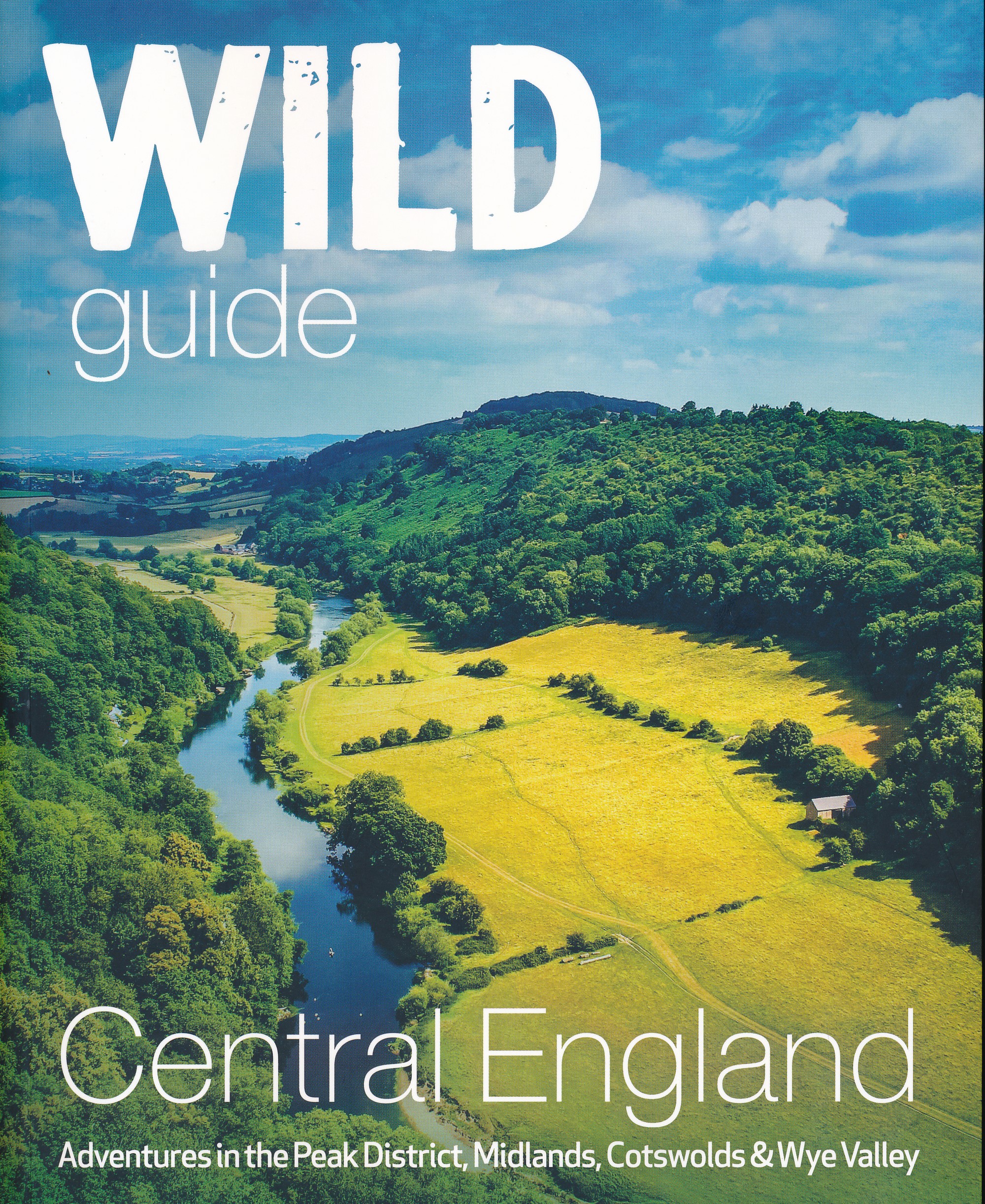
- Wild Guide Central England
- Adventures in the Peak District, Cotswolds, Midlands, Wye Valley, Welsh Marches and Lincolnshire Coast Read more
- Also available from:
- De Zwerver, Netherlands
De Zwerver
Netherlands
2020
Netherlands
2020
- Reisgids Central England - Centraal Engeland | Wild Things Publishing
- Adventures in the Peak District, Cotswolds, Midlands, Wye Valley, Welsh Marches and Lincolnshire Coast Read more

- Also available from:
- Stanfords, United Kingdom

Stanfords
United Kingdom
United Kingdom
- Colchester, Halstead & Maldon OS Landranger Active Map 168 (waterproof)
- Colchester, Halstead and Maldon area, including part of the E2 European Long-distance Path, on a waterproof and tear-resistant OS Active version of map No. 168 from the Ordnance Survey’s Landranger series at 1:50,000, with contoured and GPS compatible topographic mapping plus tourist information.MOBILE DOWNLOADS: As well as the physical edition... Read more

The Book Depository
United Kingdom
2022
United Kingdom
2022
- Also available from:
- De Zwerver, Netherlands
- Stanfords, United Kingdom
De Zwerver
Netherlands
2022
Netherlands
2022

Stanfords
United Kingdom
2022
United Kingdom
2022
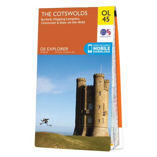
- The Cotswolds - Burford, Chipping Campden, Cirencester & Stow-on-the-Wold OS Explorer Map OL45 (paper)
- The Cotswolds on a detailed topographic and GPS compatible map OL45, paper version, from the Ordnance Survey’s 1:25,000 Explorer series. Centred on Bourton-on-the-Water, the map extends north beyond Chipping Campden and south to Cirencester. Coverage includes Stow-on-the-Wold, Moreton-in-Marsh, Turkdean, Northleach, Burford, Carterton, etc. The... Read more

- Also available from:
- De Zwerver, Netherlands

The Book Depository
United Kingdom
2016
United Kingdom
2016
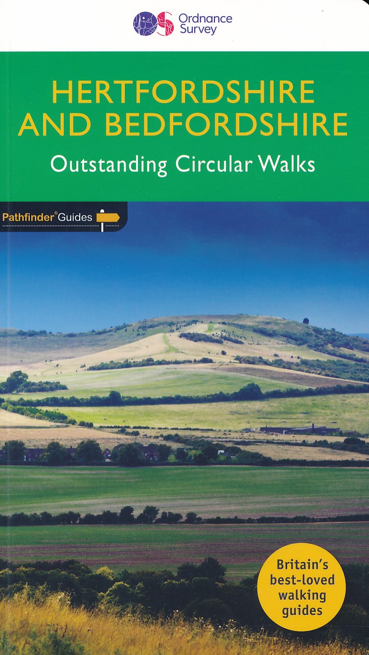
- Hertfordshire & Bedfordshire
- Both counties tend to be underrated by walkers, often overlooked in favour of the delights of the Thames Valley or the hillier Chiltern country of Buckinghamshire. But they do possess much fine walking country, with a diversity of terrain, gentle hilly regions, lots of pleasant woodland, attractive riverside landscapes and an impressive... Read more
- Also available from:
- De Zwerver, Netherlands
- Stanfords, United Kingdom
De Zwerver
Netherlands
2016
Netherlands
2016
- Wandelgids 54 Pathfinder Guides Hertfordshire and Bedfordshire | Ordnance Survey
- Both counties tend to be underrated by walkers, often overlooked in favour of the delights of the Thames Valley or the hillier Chiltern country of Buckinghamshire. But they do possess much fine walking country, with a diversity of terrain, gentle hilly regions, lots of pleasant woodland, attractive riverside landscapes and an impressive... Read more

Stanfords
United Kingdom
2016
United Kingdom
2016
- Hertfordshire & Bedfordshire
- Both counties tend to be underrated by walkers, often overlooked in favour of the delights of the Thames Valley or the hillier Chiltern country of Buckinghamshire. But they do possess much fine walking country, with a diversity of terrain, gentle hilly regions, lots of pleasant woodland, attractive riverside landscapes and an impressive... Read more

- Also available from:
- De Zwerver, Netherlands
- Stanfords, United Kingdom
De Zwerver
Netherlands
2015
Netherlands
2015

Stanfords
United Kingdom
2015
United Kingdom
2015
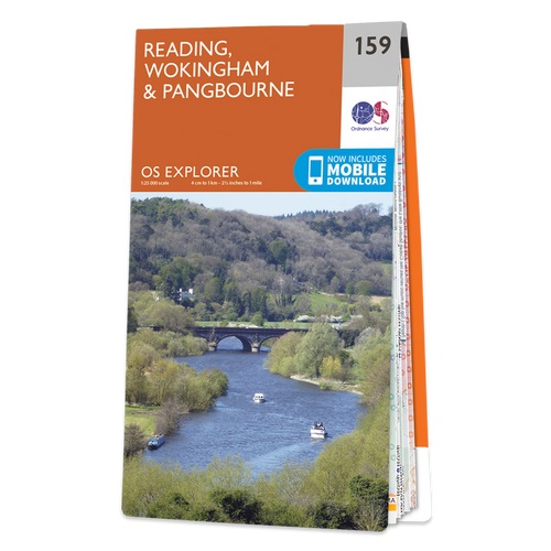
- Reading, Wokingham & Pangbourne OS Explorer Map 159 (paper)
- Reading, Wokingham and Pangbourne area on a detailed topographic and GPS compatible map No. 159, paper version, from the Ordnance Survey’s 1:25,000 Explorer series.MOBILE DOWNLOADS: this title and all the other OS Explorer maps include a code for downloading after purchase the digital version onto your smartphone or tablet for viewing on the OS... Read more
Karten

The Book Depository
United Kingdom
United Kingdom
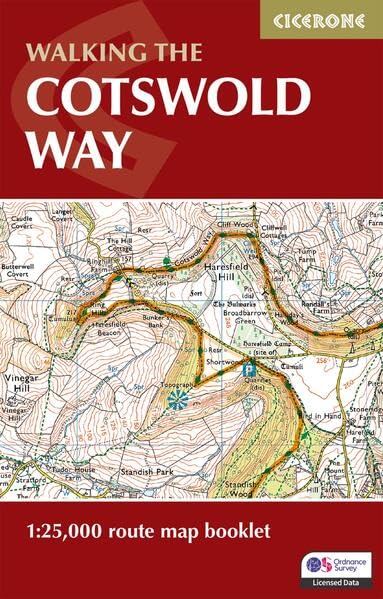
- Cotswold Way
- The Cotswold Way, a 164km / 102 mile National Trail from Chipping Campden in the north to Bath in the south, presented at 1:40,000 on a light, waterproof and tear-resistant map from Harvey Map Services. The route is shown on nine panels, with additional small street plans of Chipping Campden and Bath.Maps in the Harvey Read more
- Also available from:
- De Zwerver, Netherlands
- Stanfords, United Kingdom

De Zwerver
Netherlands
Netherlands
- Wandelkaart Cotswold Way | Harvey Maps
- The Cotswold Way, a 164km / 102 mile National Trail from Chipping Campden in the north to Bath in the south, presented at 1:40,000 on a light, waterproof and tear-resistant map from Harvey Map Services. The route is shown on nine panels, with additional small street plans of Chipping Campden and Bath.Maps in the Harvey Read more
Stanfords
United Kingdom
United Kingdom
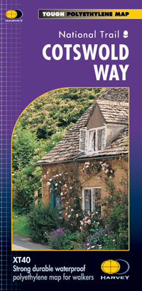
- Cotswold Way Harvey National Trail XT40
- The Cotswold Way, a 164km / 102 mile National Trail from Chipping Campden in the north to Bath in the south, presented at 1:40,000 on a light, waterproof and tear-resistant map from Harvey Map Services. The route is shown on nine panels, with additional small street plans of Chipping Campden and Bath.Maps in the Harvey’s series covering Great... Read more

The Book Depository
United Kingdom
United Kingdom
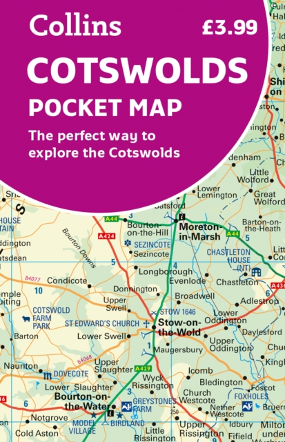
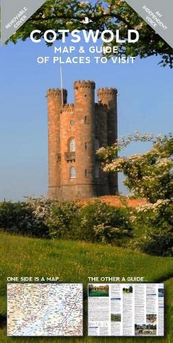
- Cotswolds Pocket Map
- The Perfect Way to Explore the Cotswolds Read more
- Also available from:
- De Zwerver, Netherlands
De Zwerver
Netherlands
2017
Netherlands
2017
- Wandelgids Heart of the Cotswolds | Rucksack Readers
- The Cotswolds is quintessentially English, with its rich cultural history, medieval `wool` churches and charming domestic architecture of stone, slate and thatch. The book offers three options for walking in the heart of this wonderful area: a 94-mile (151-km) grand tour starting from Cheltenham, and two shorter circuits. These options cater... Read more
- Also available from:
- Stanfords, United Kingdom

Stanfords
United Kingdom
2017
United Kingdom
2017
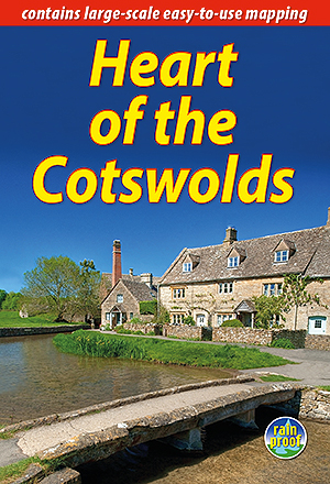
- Heart of the Cotswolds
- The Cotswolds is quintessentially English, with its rich cultural history, medieval `wool` churches and charming domestic architecture of stone, slate and thatch. The book offers three options for walking in the heart of this wonderful area: a 94-mile (151-km) grand tour starting from Cheltenham, and two shorter circuits. These options cater... Read more
De Zwerver
Netherlands
Netherlands
De Zwerver
Netherlands
2019
Netherlands
2019

Stanfords
United Kingdom
United Kingdom
- Gloucester and the Forest of Dean 1899-1900
- Map No. 162, Gloucester and the Forest of Dean 1899-1900, in the Cassini Historical Series of old Ordnance Survey mapping of England and Wales at 1:50,000 in a format designed to offer a convenient comparison with the present day coverage from the OS, and most locations in three different editions. Old historical maps have been combined so that... Read more
Stanfords
United Kingdom
United Kingdom
- Cheltenham and Cirencester 1898-1900
- Map No. 163, Cheltenham and Cirencester 1898-1900, in the Cassini Historical Series of old Ordnance Survey mapping of England and Wales at 1:50,000 in a format designed to offer a convenient comparison with the present day coverage from the OS, and most locations in three different editions. Old historical maps have been combined so that the... Read more
Stanfords
United Kingdom
United Kingdom
- Gloucester and the Forest of Dean 1818-1919 (3-map set)
- Map No. 162, Gloucester and the Forest of Dean 1818-1919 (3-map set), in the Cassini Historical Series of old Ordnance Survey mapping of England and Wales at 1:50,000 in a format designed to offer a convenient comparison with the present day coverage from the OS, and most locations in three different editions. Old historical maps have been... Read more
Stanfords
United Kingdom
United Kingdom
- Cheltenham and Cirencester 1828-1919 (3-map set)
- Map No. 163, Cheltenham and Cirencester 1828-1919 (3-map set), in the Cassini Historical Series of old Ordnance Survey mapping of England and Wales at 1:50,000 in a format designed to offer a convenient comparison with the present day coverage from the OS, and most locations in three different editions. Old historical maps have been combined so... Read more
Stanfords
United Kingdom
United Kingdom
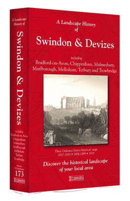
- Swindon and Devizes 1817-1919 (3-map set)
- Map No. 173, Swindon and Devizes 1817-1919 (3-map set), in the Cassini Historical Series of old Ordnance Survey mapping of England and Wales at 1:50,000 in a format designed to offer a convenient comparison with the present day coverage from the OS, and most locations in three different editions. Old historical maps have been combined so that... Read more
Stanfords
United Kingdom
United Kingdom
- Swindon and Devizes 1817-1830
- Map No. 173, Swindon and Devizes 1817-1830, in the Cassini Historical Series of old Ordnance Survey mapping of England and Wales at 1:50,000 in a format designed to offer a convenient comparison with the present day coverage from the OS, and most locations in three different editions. Old historical maps have been combined so that the sheet... Read more