
Anglesey
Beschreibung
Island in the Northwest of Wales, connected by bridge to the mainland. The coastline is popular for walking. You will pass the nuclear power station, at Wylfa Head.
Wanderwege Region
Links
Fakten
Berichte
Führer und Karten
Übernachtung
Organisationen
Reisebüros
GPS
Sonstiges
Bücher

The Book Depository
United Kingdom
United Kingdom
- Pembrokeshire - Walks to Coastal Viewpoints
- Circular walks with the most stunning views in Pembrokeshire Read more
- Also available from:
- Stanfords, United Kingdom

Stanfords
United Kingdom
United Kingdom
- Pembrokeshire - Walks to Coastal Viewpoints: Circular walks with the most stunning views in Pembrokeshire
- A new addition to the popular Top 10 Walks: Wales Coast Path series - handy, pocket-sized, full colour walking guides written by experts.This attractive and cleverly constructed guide will give walkers ten of the best short circular walks to stunning coastal viewpoints in Pembrokeshire. With clear information, an overview and introduction for... Read more

- Also available from:
- De Zwerver, Netherlands
- Stanfords, United Kingdom
De Zwerver
Netherlands
2015
Netherlands
2015

Stanfords
United Kingdom
2015
United Kingdom
2015
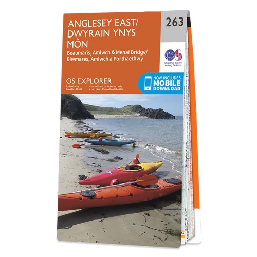
- Anglesey East - Beaumaris, Amlwch & Menai Bridge OS Explorer Map 263 (paper)
- Anglesey East, Beaumaris, Amlwch and Menai Bridge area on a detailed topographic and GPS compatible map No. 263, paper version, from the Ordnance Survey’s 1:25,000 Explorer series. MOBILE DOWNLOADS: this title and all the other OS Explorer maps include a code for downloading after purchase the digital version onto your smartphone or tablet for... Read more

- Also available from:
- De Zwerver, Netherlands
De Zwerver
Netherlands
2021
Netherlands
2021
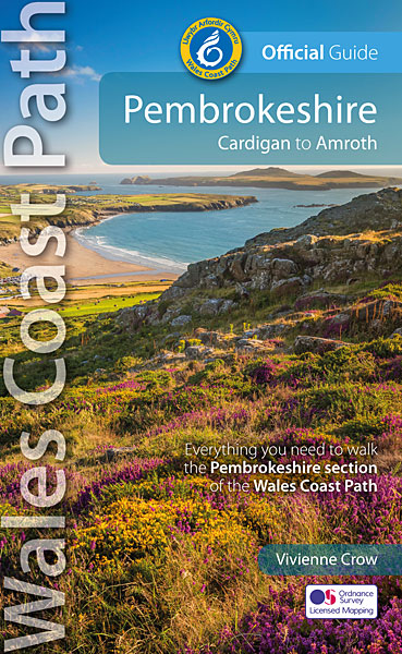
- Wandelgids Wales Coast Path: Pembrokeshire | Northern Eye Books
- Cardigan to Amroth Read more


The Book Depository
United Kingdom
2019
United Kingdom
2019
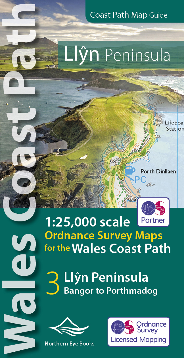
- Llyn Peninsula Coast Path Map
- 1:25,000 scale Ordnance Survey mapping for the Llyn Peninsula section of the Wales Coast Path Read more
- Also available from:
- De Zwerver, Netherlands
De Zwerver
Netherlands
2019
Netherlands
2019
- Wandelkaart Wales Coast Path Llyn Peninsula Map | Northern Eye Books
- 1:25,000 scale Ordnance Survey mapping for the Llyn Peninsula section of the Wales Coast Path Read more

- Also available from:
- De Zwerver, Netherlands
- Stanfords, United Kingdom
De Zwerver
Netherlands
Netherlands

Stanfords
United Kingdom
United Kingdom
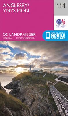
- Anglesey OS Landranger Map 114 (paper)
- Paper version of map No. 114 from the Ordnance Survey’s Landranger series at 1:50,000, with contoured and GPS compatible topographic mapping plus tourist information.MOBILE DOWNLOADS: As well as the physical edition of the map, each Landranger title now includes a code for downloading after purchase its digital version onto your smartphone or... Read more

- Also available from:
- De Zwerver, Netherlands
- Stanfords, United Kingdom
De Zwerver
Netherlands
2021
Netherlands
2021

Stanfords
United Kingdom
2021
United Kingdom
2021
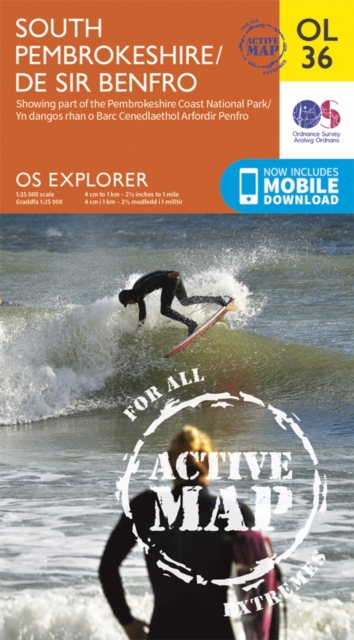
- South Pembrokeshire OS Explorer Active Map OL36 (waterproof)
- The southern coast of Pembrokeshire on a detailed topographic and GPS compatible map OL36, waterproof version, from the Ordnance Survey’s 1:25,000 Explorer series. Coverage includes Pembrokeshire Coast National Park, Haverforwest, Milford haven, Arberth, Tenby, Pembroke, Skomer Island, Caldey Island, the Pembrokeshire Coast Path National Trail... Read more

The Book Depository
United Kingdom
2018
United Kingdom
2018
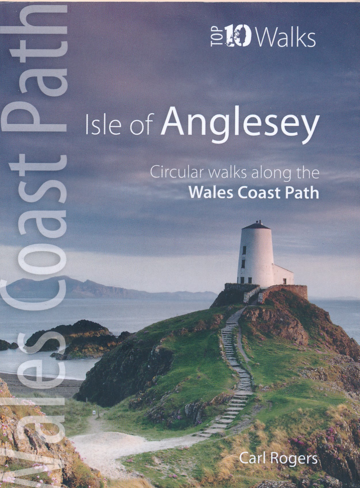
- Isle of Anglesey - Top 10 Walks
- Circular walks along the Wales Coast Path Read more
- Also available from:
- De Zwerver, Netherlands
- Stanfords, United Kingdom

Stanfords
United Kingdom
2018
United Kingdom
2018
- Wales Coast Path: Isle of Anglesey - Circular walks along the Wales Coast Path
- These attractive and cleverley structured guidebooks give walkers the ten finest circualr routes on a section of the Wales Coast Path in a popular pocketable format. With clear information, an overview and introduction for each walk, expertly written numbered directions, enhanced OS mapping, eye-grabbing panoramic photopgraphs, and... Read more


- Also available from:
- Stanfords, United Kingdom

Stanfords
United Kingdom
United Kingdom
- The Wales Coast Path: A Practical Guide for Walkers
- The Wales Coast Path - A Practical Guide for Walkers, now in an updated and fully revised second edition, is the bestselling and essential companion to the whole 896 mile path for both the serious long-distance walker and for day-trippers who wish to tackle the path one stage at a time.The Wales Coast Path - A Practical Guide for Walkers:... Read more

- Also available from:
- Stanfords, United Kingdom

Stanfords
United Kingdom
United Kingdom
- Anglesey OS Landranger Active Map 114 (waterproof)
- Waterproof and tear-resistant OS Active version of map No. 114 from the Ordnance Survey’s Landranger series at 1:50,000, with contoured and GPS compatible topographic mapping plus tourist information.MOBILE DOWNLOADS: As well as the physical edition of the map, each Landranger title now includes a code for downloading after purchase its digital... Read more

- Also available from:
- De Zwerver, Netherlands


Weitere Bücher…

Karten

The Book Depository
United Kingdom
2022
United Kingdom
2022
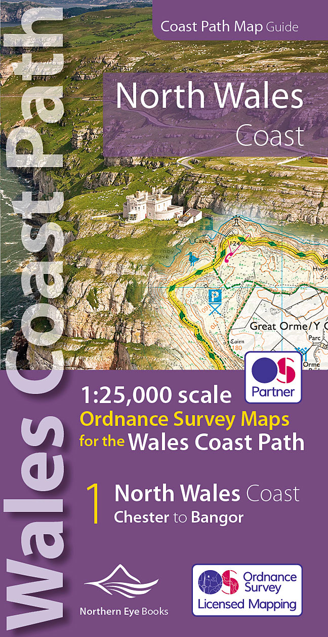
- North Wales Coast Path Map
- 1:25,000 scale Ordnance Survey mapping for the Wales Coast Path Read more
- Also available from:
- De Zwerver, Netherlands
- Stanfords, United Kingdom
De Zwerver
Netherlands
2022
Netherlands
2022
- Wandelkaart North Wales Coast Path Map | Northern Eye Books
- One of seven handy, lightweight, pocket sized map bookscovering the whole of the 870 mile/1400 kilometre Wales Coast Path. This volume covers North Wales from Chester to Bangor and includes enhanced large scale (1:25,000) Ordnance Survey mapping in a handy atlas format, with extracts from large scale Explorer maps 266, 265, 264 and OL17.The... Read more

Stanfords
United Kingdom
2022
United Kingdom
2022
- North Wales Coast - Chester to Bangor - Wales Coast Path Map-Booklet
- One of seven handy, lightweight, pocket sized map bookscovering the whole of the 870 mile/1400 kilometre Wales Coast Path. This volume covers North Wales from Chester to Bangor and includes enhanced large scale (1:25,000) Ordnance Survey mapping in a handy atlas format, with extracts from large scale Explorer maps 266, 265, 264 and OL17.The... Read more

Stanfords
United Kingdom
United Kingdom
- Anglesey / Môn 1839-1922 (3-map set)
- Map No. 114, Anglesey / Môn 1832-1942 (3-map set), in the Cassini Historical Series of old Ordnance Survey mapping of England and Wales at 1:50,000 in a format designed to offer a convenient comparison with the present day coverage from the OS, and most locations in three different editions. Old historical maps have been combined so that the... Read more

Stanfords
United Kingdom
United Kingdom
- North Pembrokeshire OS Explorer Map OL35 (paper)
- The northern coast of Pembrokeshire between Cardigan and St Davids on a detailed topographic and GPS compatible map OL35, paper version, from the Ordnance Survey’s 1:25,000 Explorer series. Coverage includes Pembrokeshire Coast National Park, Goodwick, Fishguard, Llys-y-fran Reservoir, Ramsey Island, the Pembrokeshire Coast Path National Trail... Read more

Stanfords
United Kingdom
United Kingdom
- 2700 North and West Wales Chart Atlas - 2016 edition
- In new A2 atlas format suitable for use on small chart tables and in the cockpit. Printed on high quality cartridge paper, this 2016 edition is wirobound and supplied in a durable plastic wallet. The atlas includes:2700.1 Liverpool Bay to Anglesey 1: 280 000 WGS 84Plan Holyhead (1:27 500)2700.2 Liverpool Bay 1: 145 000 WGS 84Plan Liverpool... Read more

Stanfords
United Kingdom
United Kingdom
- ADMIRALTY Leisure Folio SC 5613 - Irish Sea, Eastern Part including Isle of Man SUPERCEDED
- NEW EDITION OUT ON 10/09/2020Irish Sea - Eastern Part including Isle of Man Chart Pack is a leisure folio of forty two admiralty charts, recognized by the MCA as meeting UK national chart carriage requirements for fishing vessels under 24m and for MCA coded vessels under 24m.Folio includes:1 - Great Ormes Head to Haveraig Point 1:200,000 56132... Read more
Stanfords
United Kingdom
United Kingdom
- Anglesey / Môn 1839-1841
- Map No. 114, Anglesey / Môn 1839-1841, in the Cassini Historical Series of old Ordnance Survey mapping of England and Wales at 1:50,000 in a format designed to offer a convenient comparison with the present day coverage from the OS, and most locations in three different editions. Old historical maps have been combined so that the sheet lines... Read more

Stanfords
United Kingdom
United Kingdom
- ADMIRALTY Leisure Folio SC 5613 - Irish Sea, Eastern Part including Isle of Man
- NEW EDITION OUT ON 10/09/2020Irish Sea - Eastern Part including Isle of Man Chart Pack is a leisure folio of forty two admiralty charts, recognized by the MCA as meeting UK national chart carriage requirements for fishing vessels under 24m and for MCA coded vessels under 24m.Folio includes:1 - Great Ormes Head to Haveraig Point 1:200,000 56132... Read more
Stanfords
United Kingdom
United Kingdom
- Anglesey / Môn 1922
- Map No. 114, Anglesey / Môn 1942, in the Cassini Historical Series of old Ordnance Survey mapping of England and Wales at 1:50,000 in a format designed to offer a convenient comparison with the present day coverage from the OS, and most locations in three different editions. Old historical maps have been combined so that the sheet lines... Read more
Stanfords
United Kingdom
United Kingdom
- Anglesey / Môn 1903-1910
- Map No. 114, Anglesey / Môn 1903-1910, in the Cassini Historical Series of old Ordnance Survey mapping of England and Wales at 1:50,000 in a format designed to offer a convenient comparison with the present day coverage from the OS, and most locations in three different editions. Old historical maps have been combined so that the sheet lines... Read more
De Zwerver
Netherlands
2013
Netherlands
2013
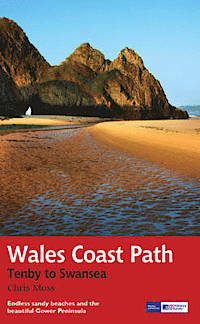
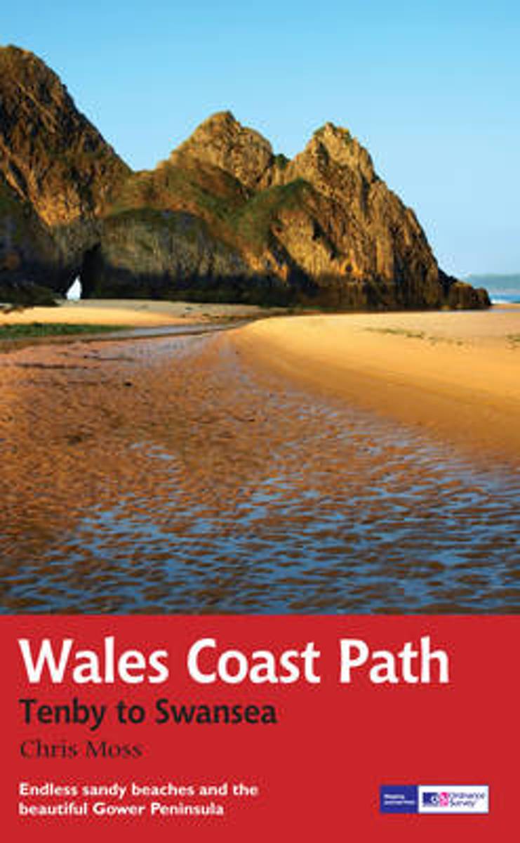
- Wandelgids Wales Coast Path: Tenby-Swansea | Aurum Press
- 2012 saw the opening of the entire Welsh coastline as an official long-distance footpath. Now, to complement its existing National Trail Guide to the Pembrokeshire Coast Path, which makes up the section of the Path from Fishguard to just beyond Tenby, Aurum publishes a completely new guide to the other most scenic and popular stretch of the... Read more
- Also available from:
- Bol.com, Netherlands
- Bol.com, Belgium
Bol.com
Netherlands
2013
Netherlands
2013
- Wales Coast Path
- 2012 saw the opening of the entire Welsh coastline as an official long-distance footpath. Now, to complement its existing National Trail Guide to the Pembrokeshire Coast Path, which makes up the section of the Path from Fishguard to just beyond Tenby, Aurum publishes a completely new guide to the other most scenic and popular stretch of the... Read more
Bol.com
Belgium
2013
Belgium
2013
- Wales Coast Path
- 2012 saw the opening of the entire Welsh coastline as an official long-distance footpath. Now, to complement its existing National Trail Guide to the Pembrokeshire Coast Path, which makes up the section of the Path from Fishguard to just beyond Tenby, Aurum publishes a completely new guide to the other most scenic and popular stretch of the... Read more

Stanfords
United Kingdom
United Kingdom
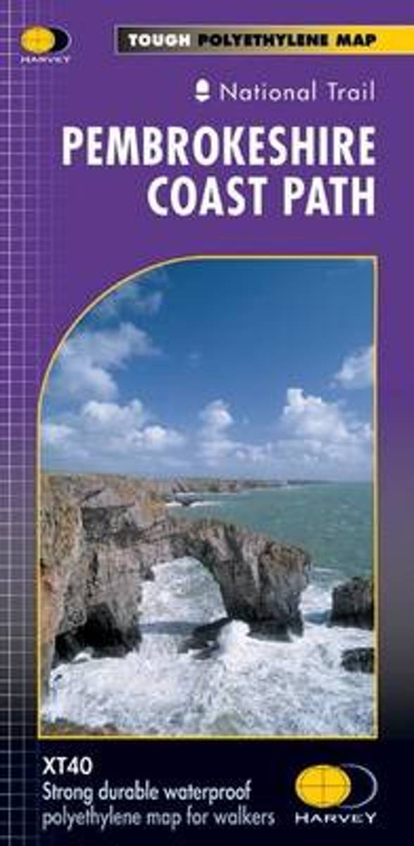
- Pembrokeshire Coast Path Harvey National Trail XT40
- Pembrokeshire Coast Path, a 265km / 165 mile section of the Wales Coast Path, presented at 1:40,000 on a light, waterproof and tear-resistant map from Harvey Map Services. The route is shown on nine panels.Maps in the Harvey’s series covering Great Britain’s national trails and other long-distance footpaths are printed on light, waterproof and... Read more
- Also available from:
- Bol.com, Netherlands
- Bol.com, Belgium
Bol.com
Netherlands
Netherlands
- Pembroke Coast Path XT40
- Pembrokeshire Coast Path, a 265km / 165 mile section of the Wales Coast Path, presented at 1:40,000 on a light, waterproof and tear-resistant map from Harvey Map Services. The route is shown on nine panels.Maps in the Harvey Read more
Bol.com
Belgium
Belgium
- Pembroke Coast Path XT40
- Pembrokeshire Coast Path, a 265km / 165 mile section of the Wales Coast Path, presented at 1:40,000 on a light, waterproof and tear-resistant map from Harvey Map Services. The route is shown on nine panels.Maps in the Harvey Read more