Pyrenees
Beschreibung

The Pyrenees form the natural border between Spain and france. The mountain range extends from one sea to the other, from the Atlantic to the Mediterranean, always a good excuse for hikers to symbolically cross over and stay away from home two months.
Of course there is a fan group of the Pyrenees versus one of the Alps. The Pyrenees are very different from the Alps alltogether. There are no large lakes, but many high situated small ones. There are almost no passings over the Pyrenees from France into Spain. The famous exceptions - St Jean-Pied-de-Port and Col de Somport - are used by the Way of St. James, Camino de Santiago.
There are plenty of good hikes, among them the GR10, the Haute Randonnée Pyrénéenne, and - on the Spanish side, the GR11.
Karte

Wanderwege Region
- Camino AragonésGPX
- Camino de BaztanGPX
- Camino de GironaGPX
- Camino FrancésGPX
- Carros de FocGPX
- E3GPX
- E4GPX
- E7GPX
- GR10 - Traversée des PyrénéesGPX
- GR101GPX
- GR107 - El Camí dels Bons HomesGPX
- GR11 Sendero PirenaicoGPX
- GR36 - Traversée du PérigordGPX
- GR65 - Via PodiensisGPX
- GR7GPX
- GR78 - Sentier de PiémontGPX
- GR8GPX
- GR83 - Camí del Nord o del CanigóGPX
- GR86GPX
- HRP - Haute Randonnée PyrénéenneGPX
- Sentier CathareGPX
- Tour du LarzacGPX
- Voie de Lourdes
- Voie du PiémontGPX
Links
Fakten
Berichte
Führer und Karten
Übernachtung
Organisationen
Reisebüros
GPS
Sonstiges
Bücher

United Kingdom
2018
- Pyrenees Sunflower Guide
- 65 long and short walks with detailed maps and GPS; 12 car tours with pull-out map Read more
- Also available from:
- De Zwerver, Netherlands
- Stanfords, United Kingdom
.jpg)

United Kingdom
2018
- Pyrenees Sunflower Landscape Guide
- This pocket-size full colour guide covers car tours walks and picnic in the entire range - France Spain and Andorra. There are well over 400 kilometres (250 miles) of day walks in this guide the equivalent of a coast-to-coast traverse - one of the `classics` for all serious walkers. But you don`t have to be an expert walker for any of hikes we... Read more

United Kingdom
2021
- Also available from:
- Stanfords, United Kingdom

United Kingdom
2021
- Tour du Mont-Lozere et du Causse Méjean GR6/GR68
- Tours du Mont-Lozère et du Causse Méjean, FFRP topo-guide Ref. No. 631, with the two circular tours, a 117-km Tour du Mont Lozère and a 111-km Tour du Causse Méjean, plus additional trails along the GR7 and GR70.ABOUT THE FFRP (Fédération française de la randonnée pédestre) TOPOGUIDES: published in a handy A5 paperback format, the guides are... Read more

United Kingdom
2019
- Shorter Treks in the Pyrenees
- 7 great one and two week circular treks Read more
- Also available from:
- De Zwerver, Netherlands

Netherlands
2019
- Wandelgids Shorter Treks in the Pyrenees | Cicerone
- Guidebook detailing seven circular treks of 4-12 days in the beautiful Pyrenees. The varied routes cover both sides of the French-Spanish border and include both the High Pyrenees and the lower, more gentle mountains of the Basque Country and Catalonia. Variants are suggested for those wishing to shorten or extend the treks. Read more

United Kingdom
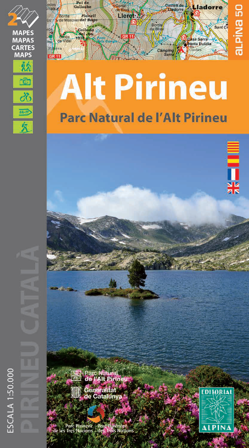
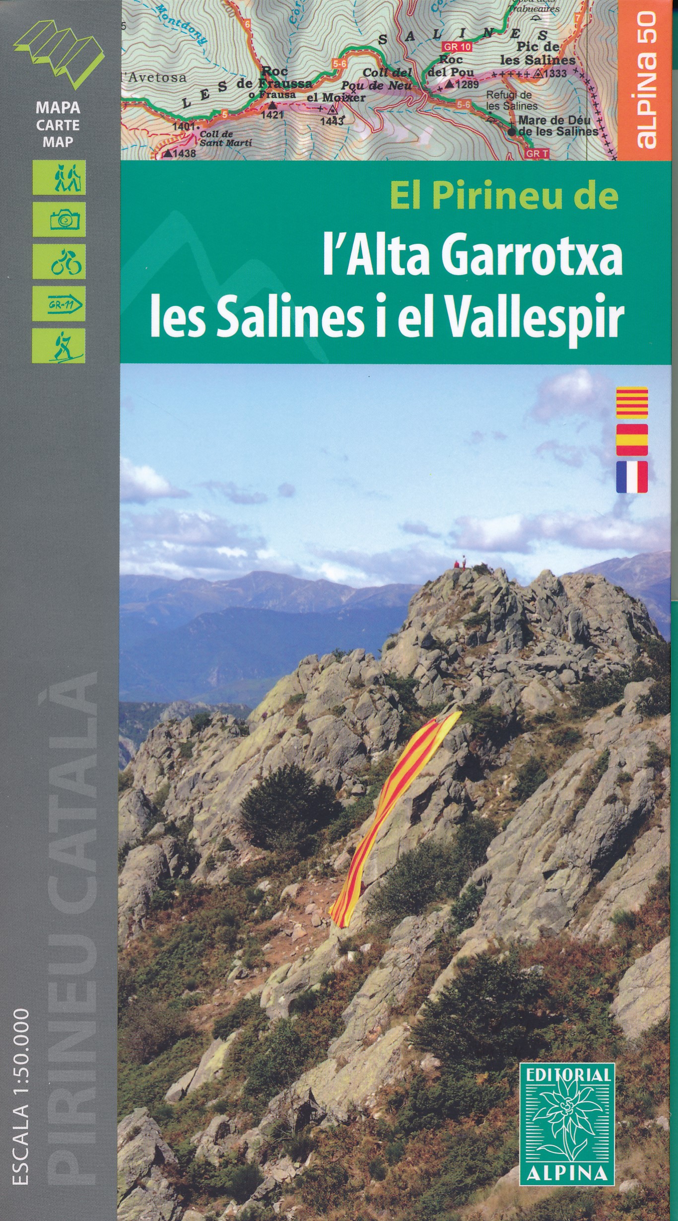
- Alt Pirineu PN 2 maps
- Alt Pirineu Natural Park in the Catalan Pyrenees on a contoured and GPS compatible map at 1:50,000 from Editorial Alpina. Coverage extends northwards from La Seu d’Urgell and Sort beyond the French border to Aulus-les-Bains. Accompanying booklet includes an extensive list of contact details for various types of local accommodation.The map has... Read more
- Also available from:
- De Zwerver, Netherlands
- Stanfords, United Kingdom
Netherlands
- Wandelkaart 27 Parc Natural de l`Alt Pirineu | Editorial Alpina
- Alt Pirineu Natural Park in the Catalan Pyrenees on a contoured and GPS compatible map at 1:50,000 from Editorial Alpina. Coverage extends northwards from La Seu d’Urgell and Sort beyond the French border to Aulus-les-Bains. Accompanying booklet includes an extensive list of contact details for various types of local accommodation.The map has... Read more

United Kingdom
- Alt Pirineu Natural Park Editorial Alpina 2-Map Set
- Alt Pirineu Natural Park in the Catalan Pyrenees on a contoured and GPS compatible map at 1:50,000 from Editorial Alpina. Coverage extends northwards from La Seu d’Urgell and Sort beyond the French border to Aulus-les-Bains. Accompanying booklet includes an extensive list of contact details for various types of local accommodation.The map has... Read more


United Kingdom

United Kingdom
- Vignemale - Valle de Bujaruelo
- Cross-border area of the Pyrenees at 1:25,000 on a contoured and GPS compatible map covering on the Spanish side the valleys of Bujaruelo and Ara with the western section of the Ordesa National Park and the Ordesa Valley, and within France extending from the Vignemale Massif to Gavarnie, plus a Spanish/French booklet with recommendations for... Read more
- Also available from:
- De Zwerver, Netherlands
- Stanfords, United Kingdom

Netherlands
- Wandelkaart 06 Vignemale - Valle de Bujaruelo | Editorial Alpina
- Cross-border area of the Pyrenees at 1:25,000 on a contoured and GPS compatible map covering on the Spanish side the valleys of Bujaruelo and Ara with the western section of the Ordesa National Park and the Ordesa Valley, and within France extending from the Vignemale Massif to Gavarnie, plus a Spanish/French booklet with recommendations for... Read more
United Kingdom
- Vignemale - Valle de Bujaruelo Editorial Alpina
- Cross-border area of the Pyrenees at 1:25,000 on a contoured and GPS compatible map covering on the Spanish side the valleys of Bujaruelo and Ara with the western section of the Ordesa National Park and the Ordesa Valley, and within France extending from the Vignemale Massif to Gavarnie, plus a Spanish/French booklet with recommendations for... Read more

United Kingdom
- Also available from:
- Stanfords, United Kingdom

United Kingdom
- Purbeck & South Dorset - Poole, Dorchester - Weymouth & Swanage OS Explorer Active Map OL15 (waterproof)
- Purbeck and the southern part of Dorset on a detailed topographic and GPS compatible map OL15, waterproof version, from the Ordnance Survey’s 1:25,000 Explorer series. Coverage extends from Poole and Swanage in the east to Bridport in the west, and includes Dorchester, Tolpuddle, Bere Regis, Wareham, Weymouth, Chesil Beach, Portland Bill, the... Read more


United Kingdom
2022
- Lonely Planet Best Day Walks Spain
- Lonely Planet`s Best Day Walks Spain is your passport to 60 easy escapes into nature. Stretch your legs away from the city by picking a walk that works for you, from just a couple of hours to a full day, from easy to hard. Marvel at the Pyrenees, hike along the Mediterranean coast, and experience island walks in Mallorca. Inside Lonely... Read more
- Also available from:
- De Zwerver, Netherlands
- Stanfords, United Kingdom

Netherlands
2022
- Wandelgids Best Day Walks Spain - Spanje | Lonely Planet
- Lonely Planet`s Best Day Walks Spain is your passport to 60 easy escapes into nature. Stretch your legs away from the city by picking a walk that works for you, from just a couple of hours to a full day, from easy to hard. Marvel at the Pyrenees, hike along the Mediterranean coast, and experience island walks in Mallorca. Inside Lonely... Read more

United Kingdom
2022
- Lonely Planet Best Day Walks Spain
- Lonely Planet`s Best Day Walks Spain is your passport to 60 easy escapes into nature. Stretch your legs away from the city by picking a walk that works for you, from just a couple of hours to a full day, from easy to hard. Marvel at the Pyrenees, hike along the Mediterranean coast, and experience island walks in Mallorca. Inside Lonely... Read more

United Kingdom
2019
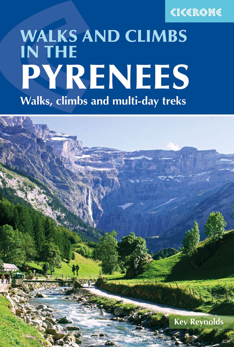
- Walks and Climbs in the Pyrenees
- Walks, climbs and multi-day treks Read more
- Also available from:
- De Zwerver, Netherlands
- Stanfords, United Kingdom
Netherlands
2019
- Wandelgids The Pyrenees - Pyreneeen | Cicerone
- Guidebook to 170 selected walks, multi-day tours and moderate summit ascents in the Central and High Pyrenees of France, Spain and Andorra. Graded routes lasting from 1hr to 12 days explore this diverse mountain range. Includes Monte Perdido, Pic du Midi d'Ossau, Vignemale, Ordesa National Park and Gavarnie. Read more

United Kingdom
2019
- Pyrenees Walks and Climbs (170 routes)
- Guidebook to 170 selected walks, multi-day tours and moderate summit ascents in the Central and High Pyrenees of France, Spain and Andorra. Graded routes lasting from 1hr to 12 days explore this diverse mountain range. Includes Monte Perdido, Pic du Midi d`Ossau, Vignemale, Ordesa National Park and Gavarnie. Read more

- Also available from:
- De Zwerver, Netherlands
- Stanfords, United Kingdom


United Kingdom
- Alpujarras Tour & Trail Super-Durable Map
- For the best adventures, use the best map. The Moorish white villages of the Alpujarras are well known to day trippers from the Costa del Sol. For walkers this is an idyllic region with stone-laid donkey trails linking the tipico villages and stretching up the southern slopes of the Sierra Nevada to Mulhacen; at 3,483 metres the highest... Read more

United Kingdom
- Monte Perdido Macizo de / Valle de Ordesa / Pineta
- Ordesa and Monte Perdido National Park at 1:25,000 in a set of two GPS compatible recreational maps in an extensive and very popular series from Editorial Alpina, providing more detailed coverage of this popular hiking area.Contours are at 10m intervals, with relief shading and vegetation colouring. An overprint highlights waymarked PR hiking... Read more
- Also available from:
- Stanfords, United Kingdom

United Kingdom
- Macizo de Monte Perdido - Valle de Ordesa - Pineta Editorial Alpina
- Ordesa and Monte Perdido National Park at 1:25,000 in a set of two GPS compatible recreational maps in an extensive and very popular series from Editorial Alpina, providing more detailed coverage of this popular hiking area.Contours are at 10m intervals, with relief shading and vegetation colouring. An overprint highlights waymarked PR hiking... Read more

United Kingdom
2022
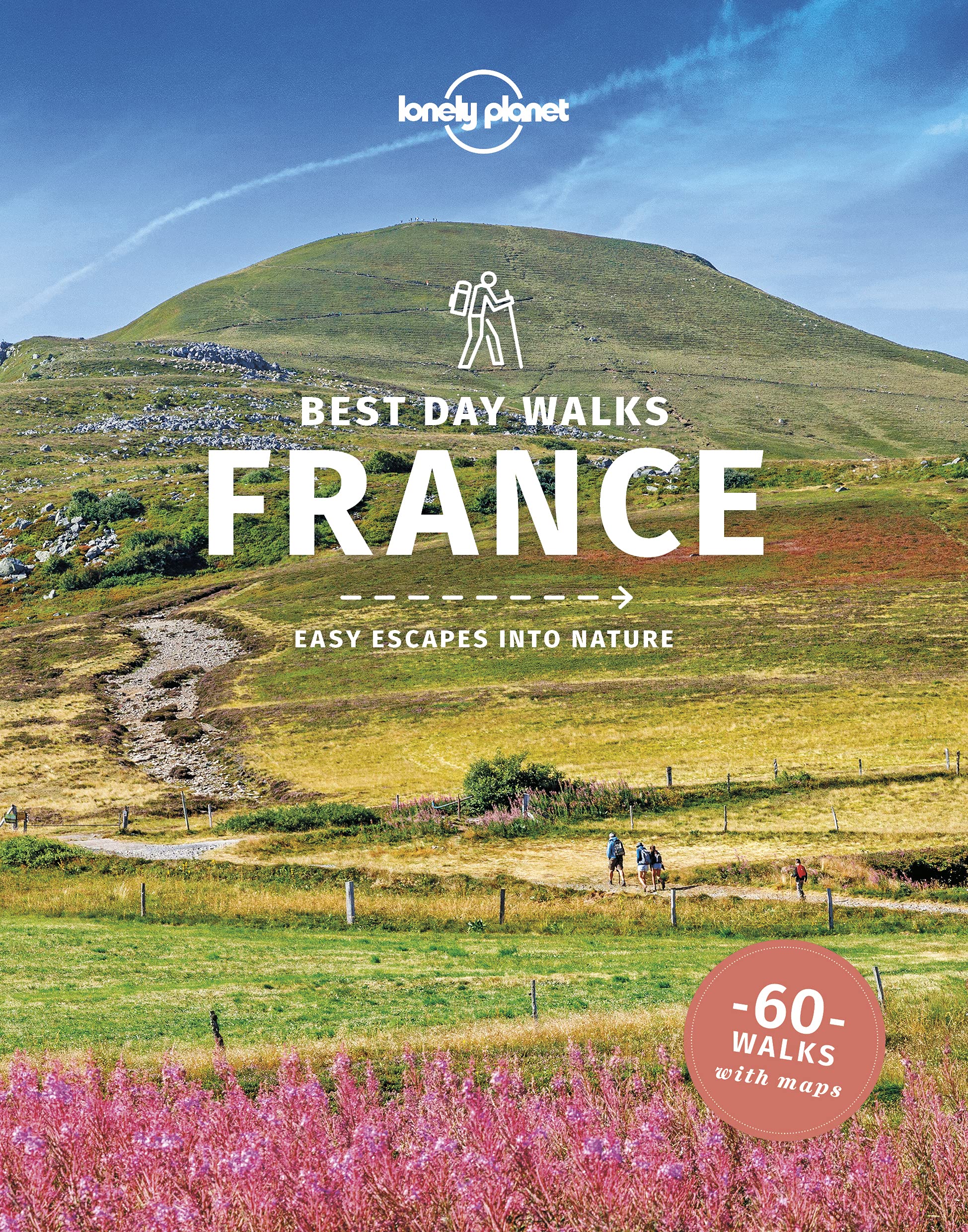
- Lonely Planet Best Day Walks France
- Lonely Planet`s Best Day Walks France is your passport to 60 easy escapes into nature. Stretch your legs away from the city by picking a walk that works for you, from just a couple of hours to a full day, from easy to hard. Explore the Pyrenees, hike the French Alps, and marvel at beautiful Corsica. Inside Lonely Planet`s Best Day Walks... Read more
- Also available from:
- De Zwerver, Netherlands
- Stanfords, United Kingdom
Netherlands
2022
- Wandelgids Best Day Walks France - Frankrijk | Lonely Planet
- Lonely Planet`s Best Day Walks France is your passport to 60 easy escapes into nature. Stretch your legs away from the city by picking a walk that works for you, from just a couple of hours to a full day, from easy to hard. Explore the Pyrenees, hike the French Alps, and marvel at beautiful Corsica. Inside Lonely Planet`s Best Day Walks... Read more
United Kingdom
2022
- Lonely Planet Best Day Walks France
- Lonely Planet`s Best Day Walks France is your passport to 60 easy escapes into nature. Stretch your legs away from the city by picking a walk that works for you, from just a couple of hours to a full day, from easy to hard. Explore the Pyrenees, hike the French Alps, and marvel at beautiful Corsica. Inside Lonely Planet`s Best Day Walks... Read more
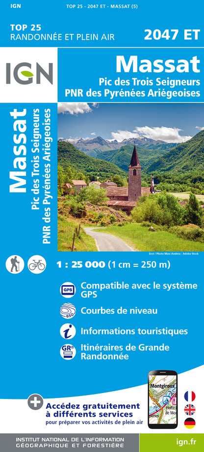
Karten

- Also available from:
- De Zwerver, Netherlands
- Stanfords, United Kingdom
Netherlands

United Kingdom
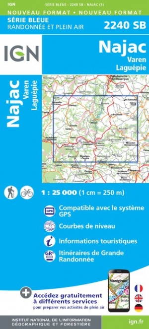
- Najac - Varen - Laguepie IGN 2240SB
- Topographic survey of France at 1:25,000 in IGN`s excellent TOP25 / Série Bleue series. All the maps are GPS compatible, with a 1km UTM grid plus latitude and longitude lines at 5’ intervals. Contours are at 5m intervals except for mountainous areas where the maps have contours at 10m intervals, vividly enhanced by hill shading and graphics for... Read more

United Kingdom
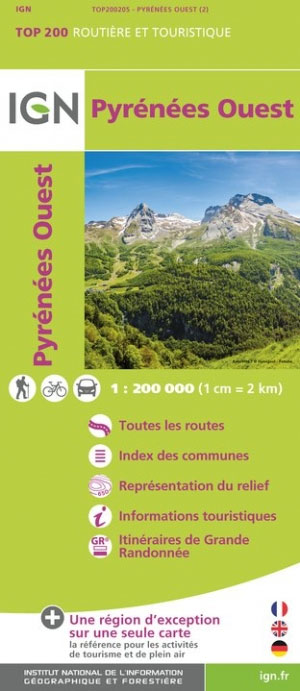
- Pyrenees Western
- Pyrénées Ouest map from the IGN at 1:200,000, with excellent presentation of the terrain through contours and vivid relief shading, plenty of names of topographic features, long-distance GR hiking routes, places of interest, etc. The map is designed to provide convenient coverage of the western and central part of the Pyrenees, extending across... Read more
- Also available from:
- Stanfords, United Kingdom
United Kingdom
- Pyrenees West IGN Top200 205
- Pyrénées Ouest map from the IGN at 1:200,000, with excellent presentation of the terrain through contours and vivid relief shading, plenty of names of topographic features, long-distance GR hiking routes, places of interest, etc. The map is designed to provide convenient coverage of the western and central part of the Pyrenees, extending across... Read more

United Kingdom
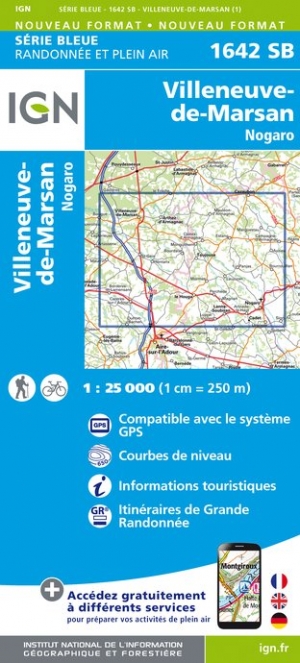
- Villeneuve-de-Marsan / Nogaro
- Topographic survey of France at 1:25,000 in IGN`s excellent TOP25 / S�rie Bleue series. All the maps are GPS compatible, with a 1km UTM grid plus latitude and longitude lines at 5� intervals. Contours are at 5m intervals except for mountainous areas where the maps have contours at 10m intervals, vividly enhanced by hill shading and graphics for ... Read more
- Also available from:
- De Zwerver, Netherlands
- Stanfords, United Kingdom
Netherlands
- Wandelkaart - Topografische kaart 1642SB Villeneuve-de-Marsan | IGN - Institut Géographique National
- Topographic survey of France at 1:25,000 in IGN`s excellent TOP25 / S�rie Bleue series. All the maps are GPS compatible, with a 1km UTM grid plus latitude and longitude lines at 5� intervals. Contours are at 5m intervals except for mountainous areas where the maps have contours at 10m intervals, vividly enhanced by hill shading and graphics for ... Read more

United Kingdom
- Villeneuve-de-Marsan - Nogaro IGN 1642SB
- Topographic survey of France at 1:25,000 in IGN`s excellent TOP25 / Série Bleue series. All the maps are GPS compatible, with a 1km UTM grid plus latitude and longitude lines at 5’ intervals. Contours are at 5m intervals except for mountainous areas where the maps have contours at 10m intervals, vividly enhanced by hill shading and graphics for... Read more

United Kingdom
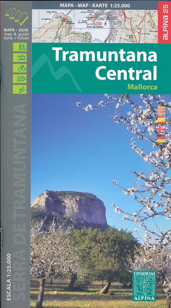
- Mallorca -Tramuntana Central GR11 Map and Hiking Guide
- Zeer gedetailleerde wandelkaart van een deel van de Tramuntana op Mallorca. Met ingetekende wandelroutes en andere informatie. uitstekende kaart. Met symbolen voor campings, hutten. Let op: deze uitgever is traag met het vernieuwen van kaarten; het kan zo maar zijn dat een bepaalde kaart gedurende langere tijd niet beschikbaar is. Majorca:... Read more
- Also available from:
- De Zwerver, Netherlands
- Stanfords, United Kingdom
Netherlands
- Wandelkaart 67 Tramuntana Central - Mallorca | Editorial Alpina
- Zeer gedetailleerde wandelkaart van een deel van de Tramuntana op Mallorca. Met ingetekende wandelroutes en andere informatie. uitstekende kaart. Met symbolen voor campings, hutten. Let op: deze uitgever is traag met het vernieuwen van kaarten; het kan zo maar zijn dat een bepaalde kaart gedurende langere tijd niet beschikbaar is. Majorca:... Read more

United Kingdom
- Mallorca - Tramuntana Central Editorial Alpina
- The central part of Mallorca’s Serra de Tramuntana mountains on a contoured and GPS-compatible map at 1:25,000 from Editorial Alpina, highlighting numerous local hiking trails and the course of the GR221 long-distance trail, climbing and canyoning sites, refuges and campsites, etc. Accompanying booklet includes English-language descriptions of... Read more

- Also available from:
- De Zwerver, Netherlands
- Stanfords, United Kingdom
Netherlands

United Kingdom
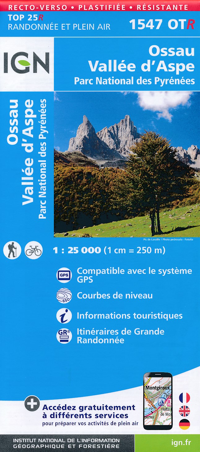
- Ossau - Vallee d`Aspe - Parc National des Pyrenees IGN WATERPROOF 1547OTR
- Between 2014 and 2019, the IGN renewed its entire Serie Bleue collection.A new map for optimal readability, with better geometric precision and enriched tourist information.A new format twice as large: the format of the new Serie Bleue is equivalent to that of the Top 25 and the number of references will thus be divided by 2.For most maps, the... Read more

- Also available from:
- De Zwerver, Netherlands

- Also available from:
- De Zwerver, Netherlands
- Stanfords, United Kingdom
Netherlands

United Kingdom
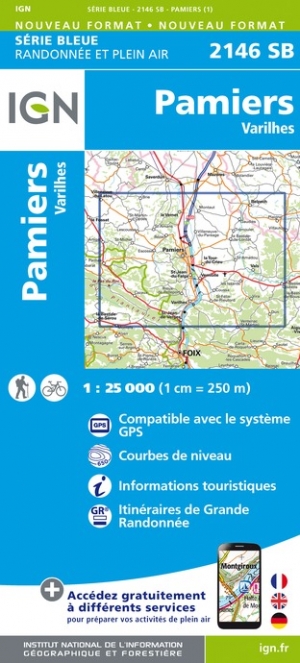
- Pamiers - Varilhes IGN 2146SB
- Topographic survey of France at 1:25,000 in IGN`s excellent TOP25 / Série Bleue series. All the maps are GPS compatible, with a 1km UTM grid plus latitude and longitude lines at 5’ intervals. Contours are at 5m intervals except for mountainous areas where the maps have contours at 10m intervals, vividly enhanced by hill shading and graphics for... Read more

- Also available from:
- De Zwerver, Netherlands
- Stanfords, United Kingdom


United Kingdom
- Canigou-Garrotxa Rando Editions 10
- Canigou Massif and the surrounding region of the French Pyrenees on a contoured and GPS compatible map at 1:50,000 from Rando Editions with topographic base provided by the IGN, highlighting local and long-distance hiking trails, mountain biking routes, etc. Topography is vividly presented by contours at 20m intervals enhanced by shading and... Read more

United Kingdom
- Exo Mani 2018
- Uitstekende wandelkaart op scheur- en watervast papier van het wandelgebied rond Kardamyli maar ook nog met Agios Nikolaos. De wandelpaden staan er op ingetekend, zo ook alle bezienswaardigheden als klooster, kastelen en meerdere opgravingen. Mani is the middle and southernmost peninsula of the Peloponnese and is split between Laconia and... Read more
- Also available from:
- De Zwerver, Netherlands
- Stanfords, United Kingdom

Netherlands
- Wandelkaart 8.10 Exo Mani | Anavasi
- Uitstekende wandelkaart op scheur- en watervast papier van het wandelgebied rond Kardamyli maar ook nog met Agios Nikolaos. De wandelpaden staan er op ingetekend, zo ook alle bezienswaardigheden als klooster, kastelen en meerdere opgravingen. Mani is the middle and southernmost peninsula of the Peloponnese and is split between Laconia and... Read more

United Kingdom
- Exo Mani - Verga - Kardamyli - Trachila Anavasi 8.10
- The northern part of the western coast of the Mani Peninsula, the “middle finger” of the Peloponnese, on a light, waterproof and tear-resistant, double-sided, contoured and GPS-compatible map at 1:20,000 from Anavasi highlighting 24 hiking trails and various facilities and places of interest. Coverage, with a good overlap between the sides,... Read more

- Also available from:
- De Zwerver, Netherlands
- Stanfords, United Kingdom

United Kingdom
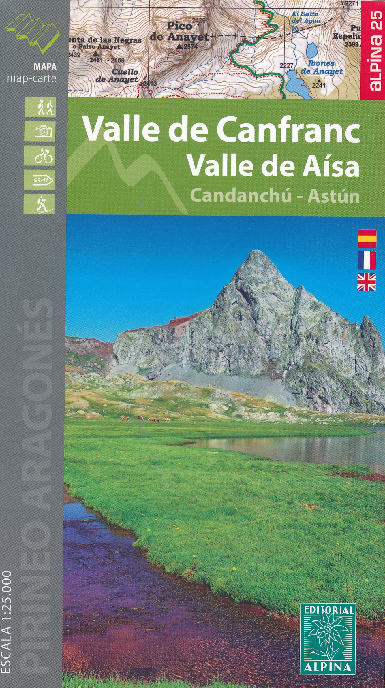
- Valle de Canfranc - Valle de Aisa - Candanchu - Astun Editorial Alpina
- Valle de Canfranc - Valle de Aisa in an extensive and very popular series of walking maps from Editorial Alpina covering the Pyrenees, Catalonia and other selected hiking areas in Spain, including Picos de Europa, Sierra Nevada and parts of Andalucía, Majorca, etc. Scales vary from 1:50,000 to 1:10,000, with the majority of the titles at... Read more

United Kingdom
- Samaria - Sougia
- Uitstekende topografische kaarten van een deel van Griekenland: zonder meer hele goede kaarten voor wandeltochten in een onbekend stuk Griekenland! Ze zijn gedrukt op scheurvast en watervast papier op een schaal van 1:25.000 met een UTM grid voor GPS gebruikers. Op de meeste kaarten is geven de hoogtelijnen een interval van 20m. aan. Met... Read more
- Also available from:
- De Zwerver, Netherlands
- Stanfords, United Kingdom

Netherlands
- Wandelkaart 11.13 Samaria - Soughia - Kreta | Anavasi
- Uitstekende topografische kaarten van een deel van Griekenland: zonder meer hele goede kaarten voor wandeltochten in een onbekend stuk Griekenland! Ze zijn gedrukt op scheurvast en watervast papier op een schaal van 1:25.000 met een UTM grid voor GPS gebruikers. Op de meeste kaarten is geven de hoogtelijnen een interval van 20m. aan. Met... Read more

United Kingdom
- Samaria - Sougia - Paliochora Anavasi 11.13
- Samaria – Sougia area of the White Mountains on Crete on a waterproof and tear-resistant, GPS compatible and contoured hiking map at 1:25,000 from Anavasi, extending from the famous Gorge of Samaria westwards to Azogyres and Plemeniana, and north past Omalos and the peaks of Troili and Kaimeni Kafala.Topography is shown by contour lines at 20m... Read more

United Kingdom
- Crete West
- Western Crete on a double-sided, contoured and GPS compatible map at 1:100,000 from Harms Verlag, with highlighting for numerous places of interest and 20 recommended hiking trails, plus street plans of central Heraklion, Rethymnon and Chania and a plan of the archaeological site at Knossos. All place names are in both Greek and Latin alphabet.... Read more
- Also available from:
- De Zwerver, Netherlands

Netherlands
- Wandelkaart Kreta west | Harms IC Verlag
- Western Crete on a double-sided, contoured and GPS compatible map at 1:100,000 from Harms Verlag, with highlighting for numerous places of interest and 20 recommended hiking trails, plus street plans of central Heraklion, Rethymnon and Chania and a plan of the archaeological site at Knossos. All place names are in both Greek and Latin alphabet.... Read more

United Kingdom
- Also available from:
- De Zwerver, Netherlands

United Kingdom
2017
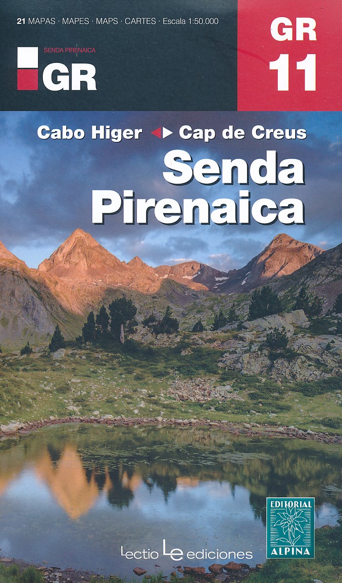
- Senda Pirenaica GR11 guide and map Cabo Higer - Cap de Creus 2017
- Set van 21 kaarten, schaal 1:50.000, met intekening van de GR11, de lange-afstandswandeling door de Spaanse Pyreneeën. Van kust tot kust, van Cabo Higuer (bij Irun) naar Cap de Creus (Costa Brava). Onderverdeeld in 43 trajecten. Met hoogteprofielen, gemiddelde looptijden, afstanden, locaties van berghutten, campings en hotels. Read more
- Also available from:
- De Zwerver, Netherlands
Netherlands
2017
- Wandelkaart Senda Pirenaica GR11 | Editorial Alpina
- Set van 21 kaarten, schaal 1:50.000, met intekening van de GR11, de lange-afstandswandeling door de Spaanse Pyreneeën. Van kust tot kust, van Cabo Higuer (bij Irun) naar Cap de Creus (Costa Brava). Onderverdeeld in 43 trajecten. Met hoogteprofielen, gemiddelde looptijden, afstanden, locaties van berghutten, campings en hotels. Read more

United Kingdom
- Also available from:
- De Zwerver, Netherlands