
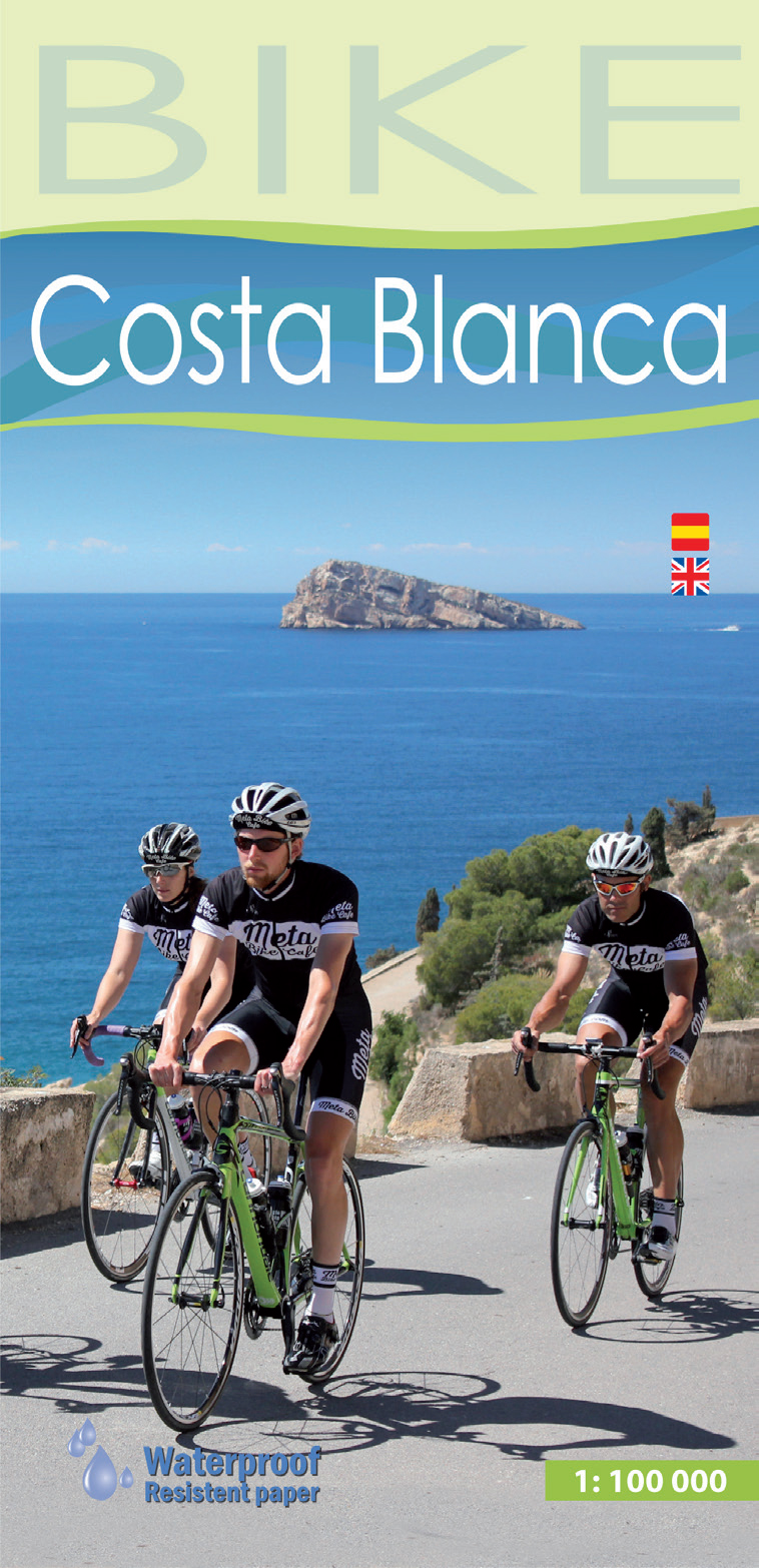
Costa Blanca
Beschreibung
The "White Coast", a popular holiday and beach destination in the South of Spain, Province of Alicante.
Wanderwege Region
Links
Fakten
Berichte
Führer und Karten
Übernachtung
Organisationen
Reisebüros
GPS
Sonstiges
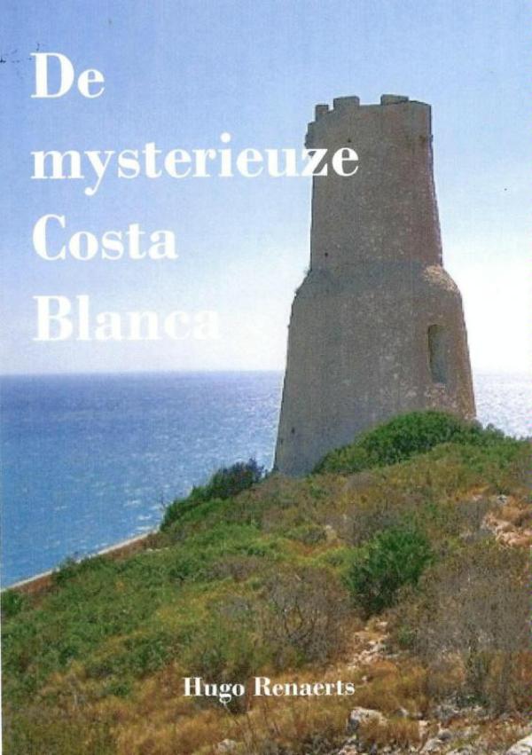
Bücher

The Book Depository
United Kingdom
2014
United Kingdom
2014
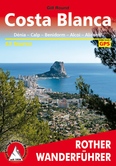
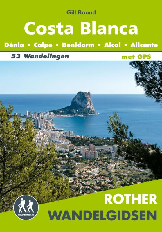
- Costa Blanca (wf) 53T Denia - Calpe - Benidorm - Alicante
- Uitstekende wandelgids met een groot aantal dagtochten in dal en hooggebergte. Met praktische informatie en beperkt kaartmateriaal! Wandelingen in verschillende zwaarte weergegeven in rood/blauw/zwart. Die Costa Blanca steht seit langem im Ruf, die Region mit der meisten Wintersonne, den billigsten Flügen und den günstigsten Unterkünften in... Read more
- Also available from:
- De Zwerver, Netherlands
De Zwerver
Netherlands
2019
Netherlands
2019
- Wandelgids 269 Costa Blanca | Rother Bergverlag
- Uitstekende wandelgids met een groot aantal dagtochten in dal en hooggebergte. Met praktische informatie en beperkt kaartmateriaal! Wandelingen in verschillende zwaarte weergegeven in rood/blauw/zwart. Die Costa Blanca steht seit langem im Ruf, die Region mit der meisten Wintersonne, den billigsten Flügen und den günstigsten Unterkünften in... Read more

The Book Depository
United Kingdom
2022
United Kingdom
2022
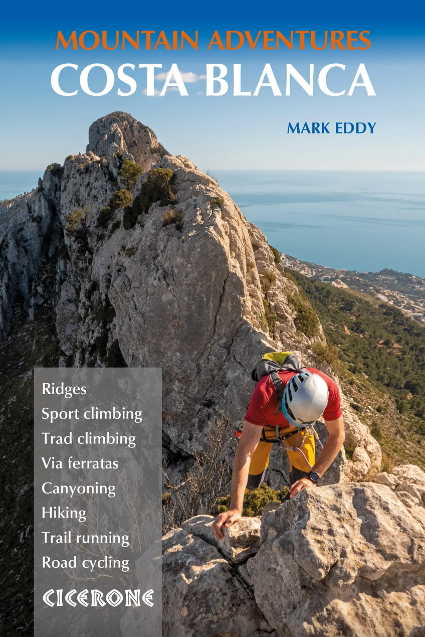
- Costa Blanca Mountain Adventures
- The Bernia Ridge and other multi-activity adventures Read more
- Also available from:
- De Zwerver, Netherlands
De Zwerver
Netherlands
2022
Netherlands
2022
- Wandelgids - Klimgids - Klettersteiggids Costa Blanca Mountain Adventures | Cicerone
- The Bernia Ridge and other multi-activity adventures Read more
De Zwerver
Netherlands
Netherlands
De Zwerver
Netherlands
Netherlands
De Zwerver
Netherlands
Netherlands
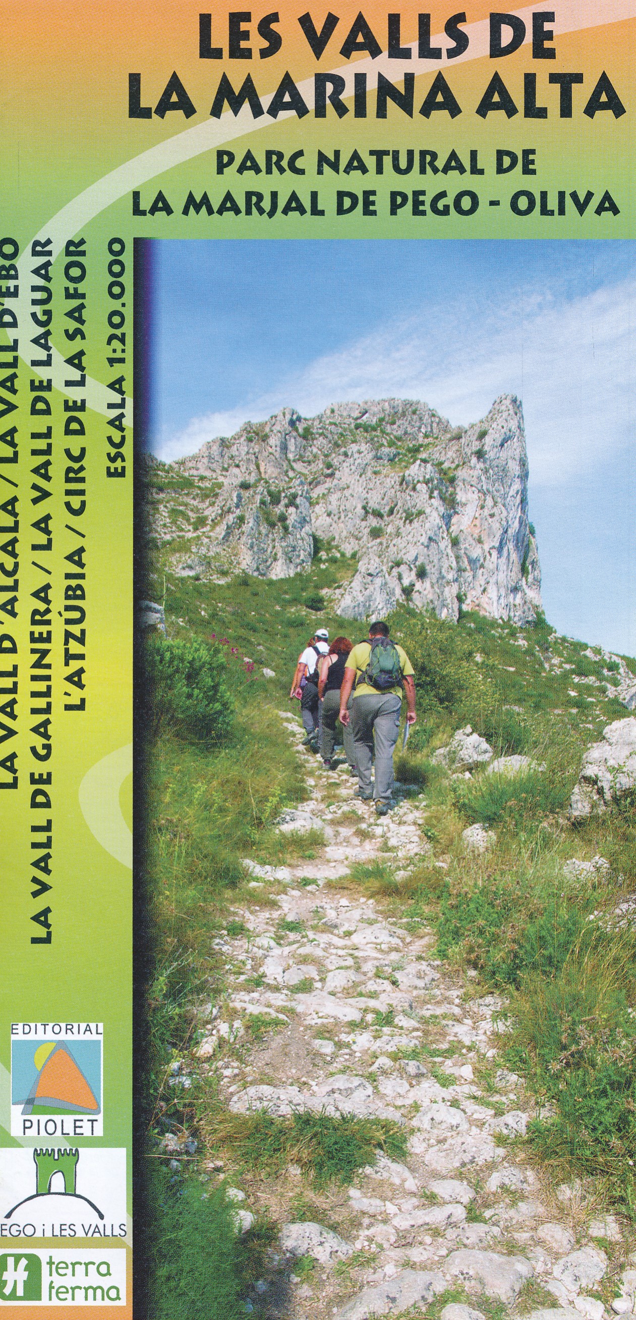
- Wandelkaart Les Valls de la Marina Alta - PN de la Marjal de Pego - Oliva | Editorial Piolet
- Three valleys – Gallinera, Alcalà and Ebo – with the surrounding sierras in the hinterland of the northern Costa Blanca on a contoured and GPS compatible map at 1:20,000 from Editorial Piolet, with on the reverse detail and route profiles of 21 recommended walks. Centered on Benissivà and Benirrama, coverage extends north across Serra de... Read more
- Also available from:
- Stanfords, United Kingdom

Stanfords
United Kingdom
United Kingdom
- Marina Alta Valleys Editorial Piolet Hiking Map
- Three valleys – Gallinera, Alcalà and Ebo – with the surrounding sierras in the hinterland of the northern Costa Blanca on a contoured and GPS compatible map at 1:20,000 from Editorial Piolet, with on the reverse detail and route profiles of 21 recommended walks. Centered on Benissivà and Benirrama, coverage extends north across Serra de... Read more
Karten

The Book Depository
United Kingdom
United Kingdom
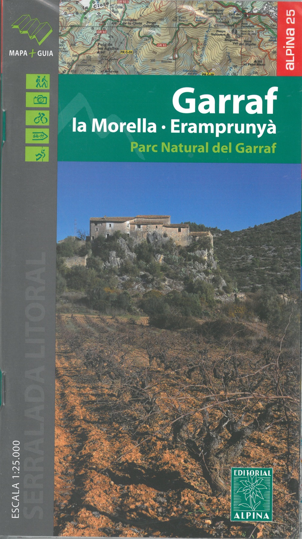
- Garraf - La Morella - Eramprunya - Parc Natural del Garraf
- Zeer gedetailleerde wandelkaart van dit mooie natuurgebied in Noord Oost Spanje. Met ingetekende wandelroutes en andere informatie. Spaans en deel in het engels, maar uitstekende kaart. Met symbolen voor campings, hutten. Read more
- Also available from:
- De Zwerver, Netherlands
- Stanfords, United Kingdom
De Zwerver
Netherlands
Netherlands
- Wandelkaart 62 Parc Naturel del Garraf | Editorial Alpina
- Zeer gedetailleerde wandelkaart van dit mooie natuurgebied in Noord Oost Spanje. Met ingetekende wandelroutes en andere informatie. Spaans en deel in het engels, maar uitstekende kaart. Met symbolen voor campings, hutten. Read more

Stanfords
United Kingdom
United Kingdom
- Garraf - la Morella - Eramprunya Editorial Alpina
- Massíf de Garraf in an extensive and very popular series of walking maps from Editorial Alpina covering the Pyrenees, Catalonia and other selected hiking areas in Spain, including Picos de Europa, Sierra Nevada and parts of Andalucía, Majorca, etc. Scales vary from 1:50,000 to 1:10,000, with the majority of the titles at 1:25,000. The maps have... Read more

- Also available from:
- De Zwerver, Netherlands

The Book Depository
United Kingdom
United Kingdom
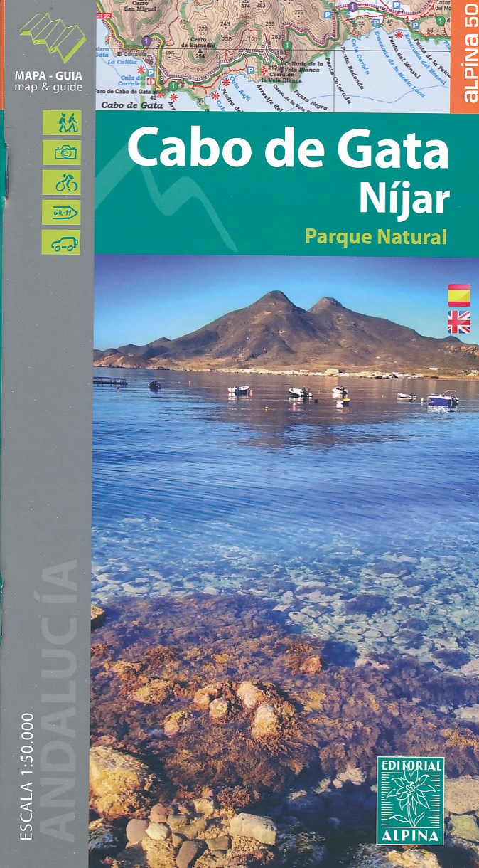
- Cabo de Gata / Nijar
- Gedetailleerde wandelkaart van een interessant wandelgebied. Uitstekend leesbaar, inhoudelijk een goede kaart met allerhande informatie op topografische basis waarbij wandelroutes, campings en hutten. Bij een aantal Alpina kaarten is een boekje bijgevoegd met routes. Door de toevoeging van gradengrid is deze kaart bruikbaar voor GPS. Cabo da... Read more
- Also available from:
- De Zwerver, Netherlands
- Stanfords, United Kingdom
De Zwerver
Netherlands
Netherlands
- Wandelkaart Cabo de Gata - Nijar | Editorial Alpina
- Gedetailleerde wandelkaart van een interessant wandelgebied. Uitstekend leesbaar, inhoudelijk een goede kaart met allerhande informatie op topografische basis waarbij wandelroutes, campings en hutten. Bij een aantal Alpina kaarten is een boekje bijgevoegd met routes. Door de toevoeging van gradengrid is deze kaart bruikbaar voor GPS. Cabo da... Read more

Stanfords
United Kingdom
United Kingdom
- Cabo de Gata-Níjar Natural Park Editorial Alpina
- Cabo da Gata area on the south-eastern tip of Andalucía on a contoured and GPS compatible map at 1:50,000 from Editorial Alpina highlighting hiking and cycling trails, plus a booklet with English language descriptions of recommended routes, accommodation lists, etc.Topography is shown by contours at 20m intervals, with relief shading and... Read more
De Zwerver
Netherlands
Netherlands
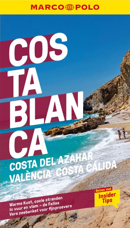
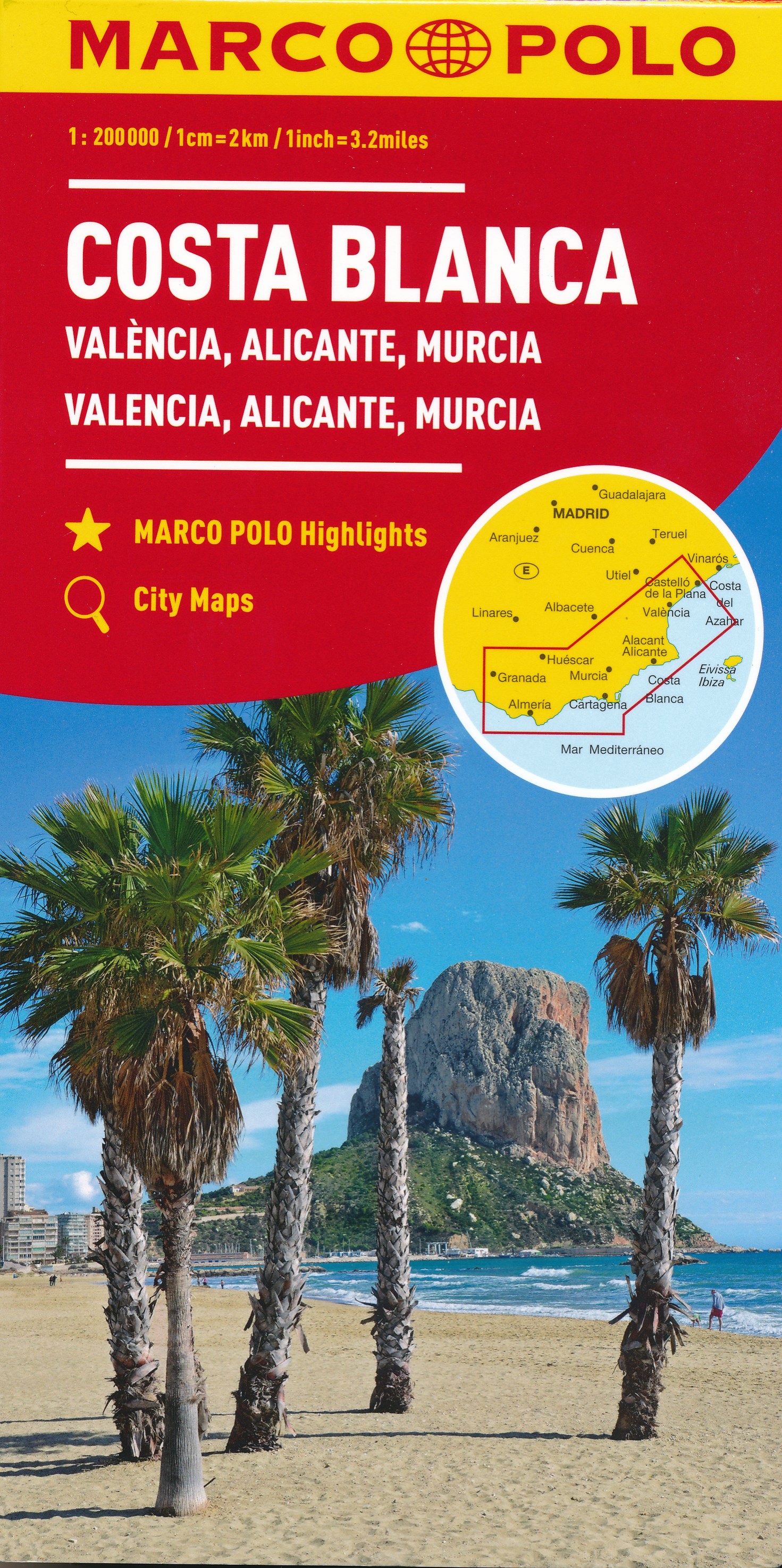
- Wegenkaart - landkaart Costa Blanca Valencia Granada | Marco Polo
- MARCO POLO Karte Costa Blanca, Valencia, Alicante, Castellón, Murcia 1:200 000 ab 9.99 EURO Marco Polo Karte. 4. Auflage Read more
De Zwerver
Netherlands
Netherlands
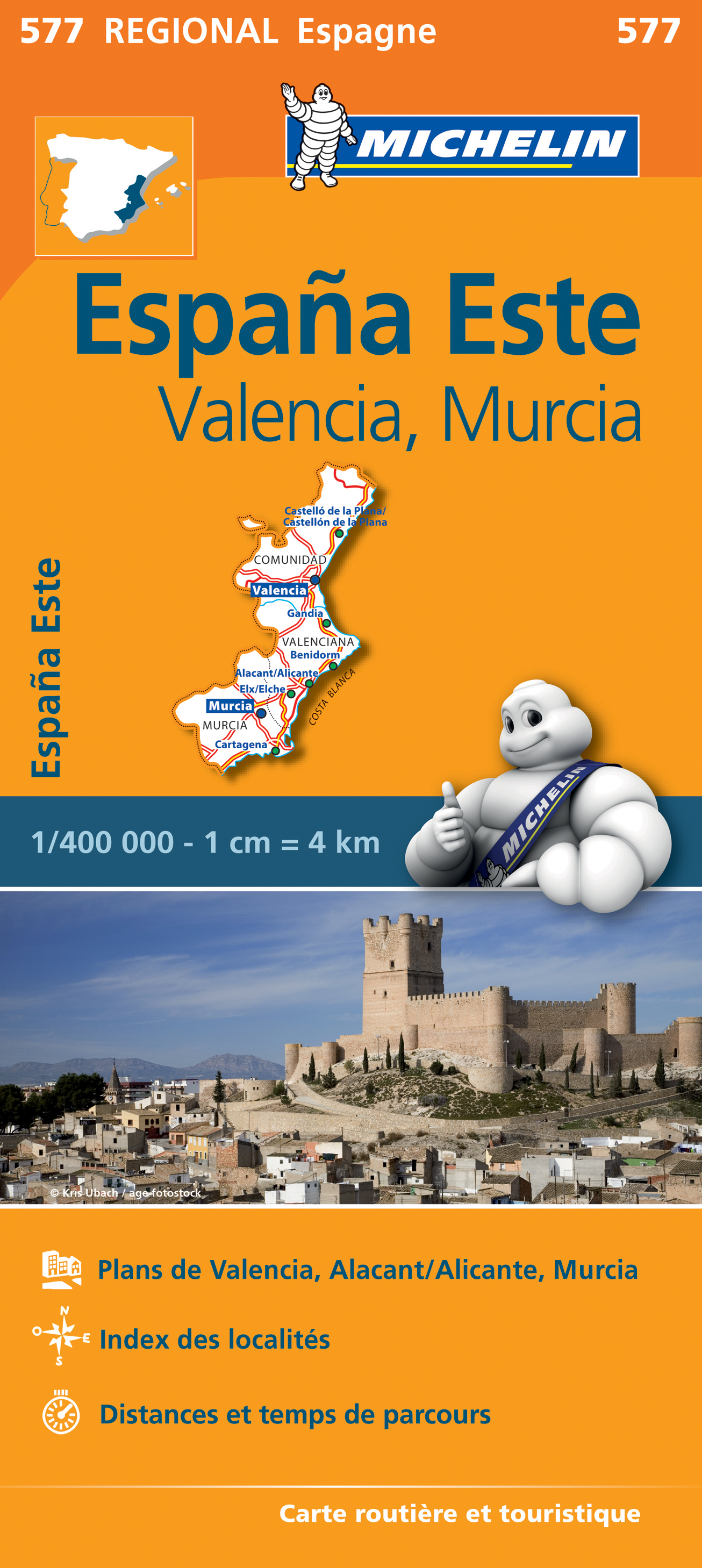
- Wegenkaart - landkaart 577 Comunidad Valenciana - Murcia - Alicante - Benidorm | Michelin
- une carte fiable pour parcourir les régions d'Europe Read more
De Zwerver
Netherlands
Netherlands
- Also available from:
- Stanfords, United Kingdom

Stanfords
United Kingdom
United Kingdom
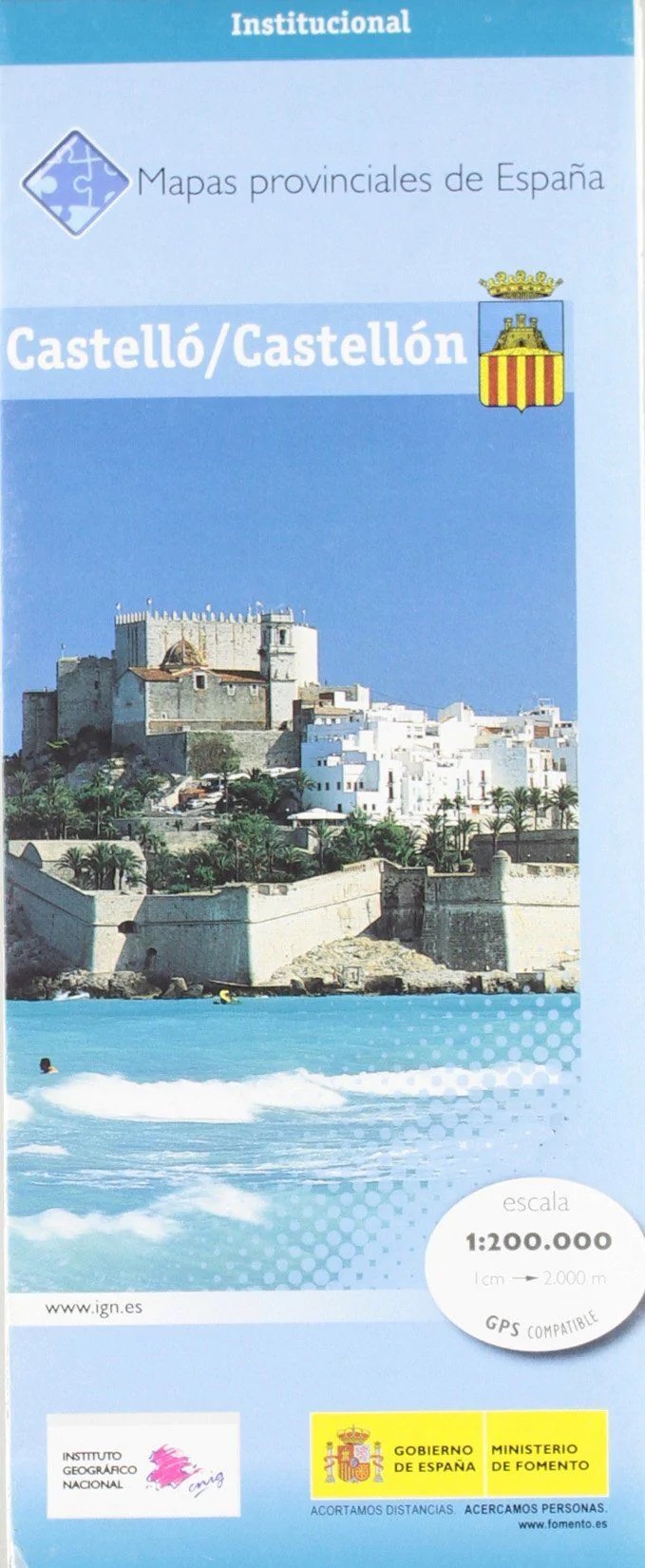
- Castellón / Castello Province 200K CNIG Map 14
- Contoured, GPS-compatible, indexed road map at 1:200,000 from CNIG - Spain’s civilian survey organization, with exceptionally informative presentation of the landscape and highlighting for facilities and places of interest including campsites and paradors.Maps in CNIG’s 200K Provincial Series provide an excellent picture the topography through... Read more
De Zwerver
Netherlands
Netherlands
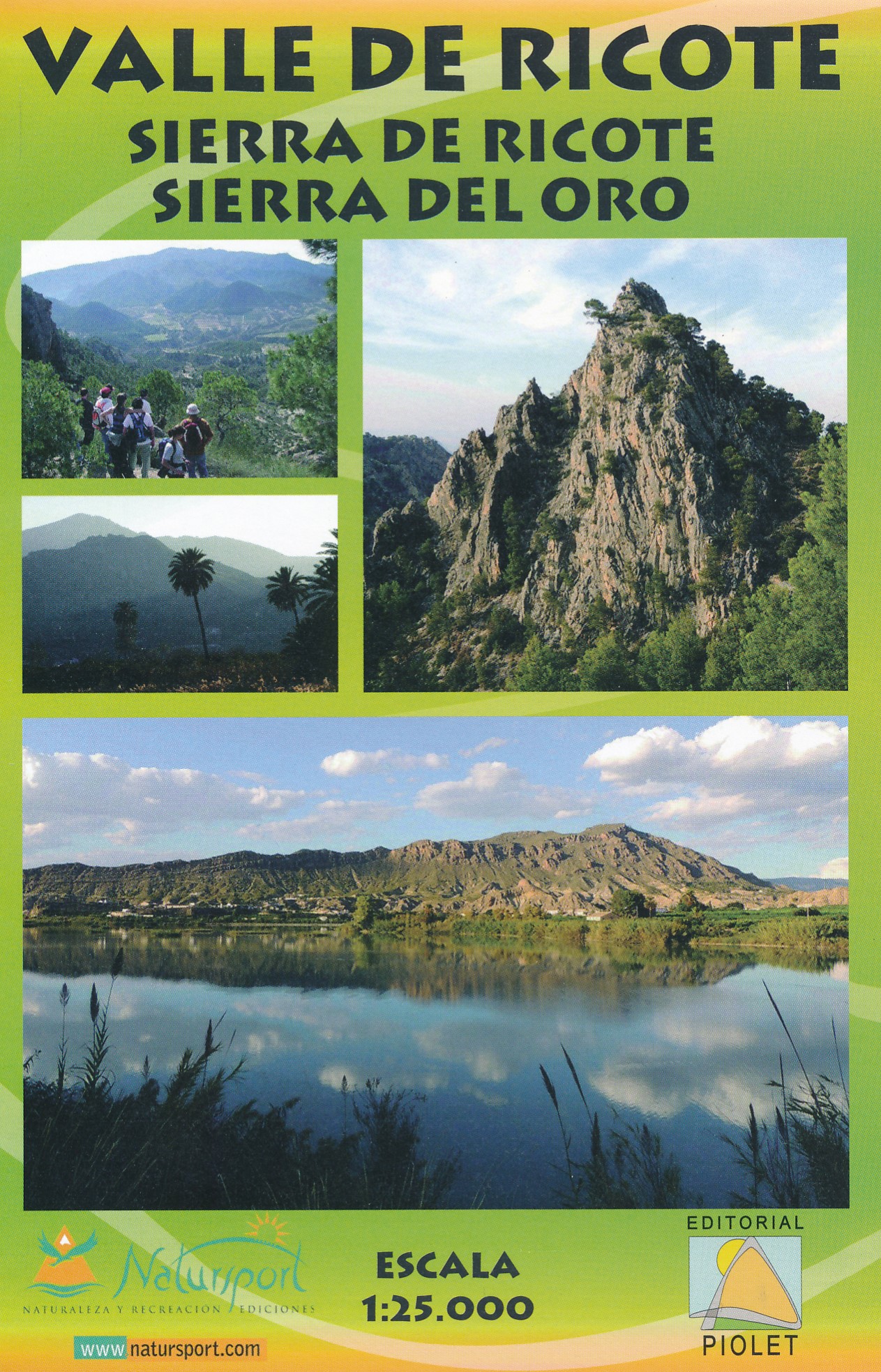
- Wandelkaart Valle de Ricote - Sierra de Ricote - Sierra del Oro | Editorial Piolet
- Valle de Ricote, Sierra de Ricote and Sierra del Oro north-west of Murcia on a contoured and GPS compatible map at 1:25,000 from Editorial Piolet. Coverage extends westwards from Archena, north to Abarán, and south to the RM-530 road.Topography is presented by contours at 10m intervals with plenty of additional spot heights. An overprint shows... Read more
- Also available from:
- Stanfords, United Kingdom

Stanfords
United Kingdom
United Kingdom
- Valle de Ricote - Sierra de Ricote - Sierra del Oro
- Valle de Ricote, Sierra de Ricote and Sierra del Oro north-west of Murcia on a contoured and GPS compatible map at 1:25,000 from Editorial Piolet. Coverage extends westwards from Archena, north to Abarán, and south to the RM-530 road.Topography is presented by contours at 10m intervals with plenty of additional spot heights. An overprint shows... Read more
De Zwerver
Netherlands
Netherlands
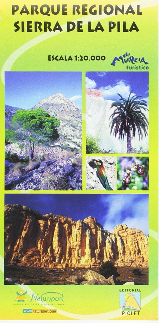
- Wandelkaart Parque Regional Sierra de la Pila | Editorial Piolet
- Sierra de la Pila Regional Park at 1:20,000 in a series of GPS compatible maps from Editorial Piolet with cartography based on Spain Read more
- Also available from:
- Stanfords, United Kingdom

Stanfords
United Kingdom
United Kingdom
- Sierra de la Pila Regional Park
- Sierra de la Pila Regional Park at 1:20,000 in a series of GPS compatible maps from Editorial Piolet with cartography based on Spain’s civilian topographic survey overprinted with hiking routes and other tourist information. Colouring indicates different conservation zones within the Regional Park. Road network shows locations of petrol... Read more
De Zwerver
Netherlands
Netherlands
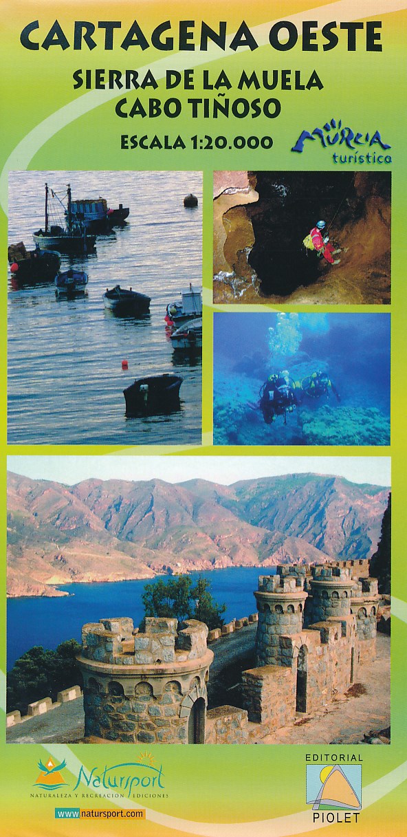
- Wandelkaart Cartagena Oeste - Sierra de la Muela | Editorial Piolet
- Uitstekende wandelkaart van een klein gebied. Met ingetekende wandelroutes en hoogtelijnen. Excellent 1:20.000 scale map of the area of West Cartagena (Murcia). Includes local signaling pathways, GR, PR, Nordik Walking tour and most characteristic areas of diving. Equidistance between contours 10 m. Read more
De Zwerver
Netherlands
2020
Netherlands
2020
- Also available from:
- Stanfords, United Kingdom
Stanfords
United Kingdom
2020
United Kingdom
2020
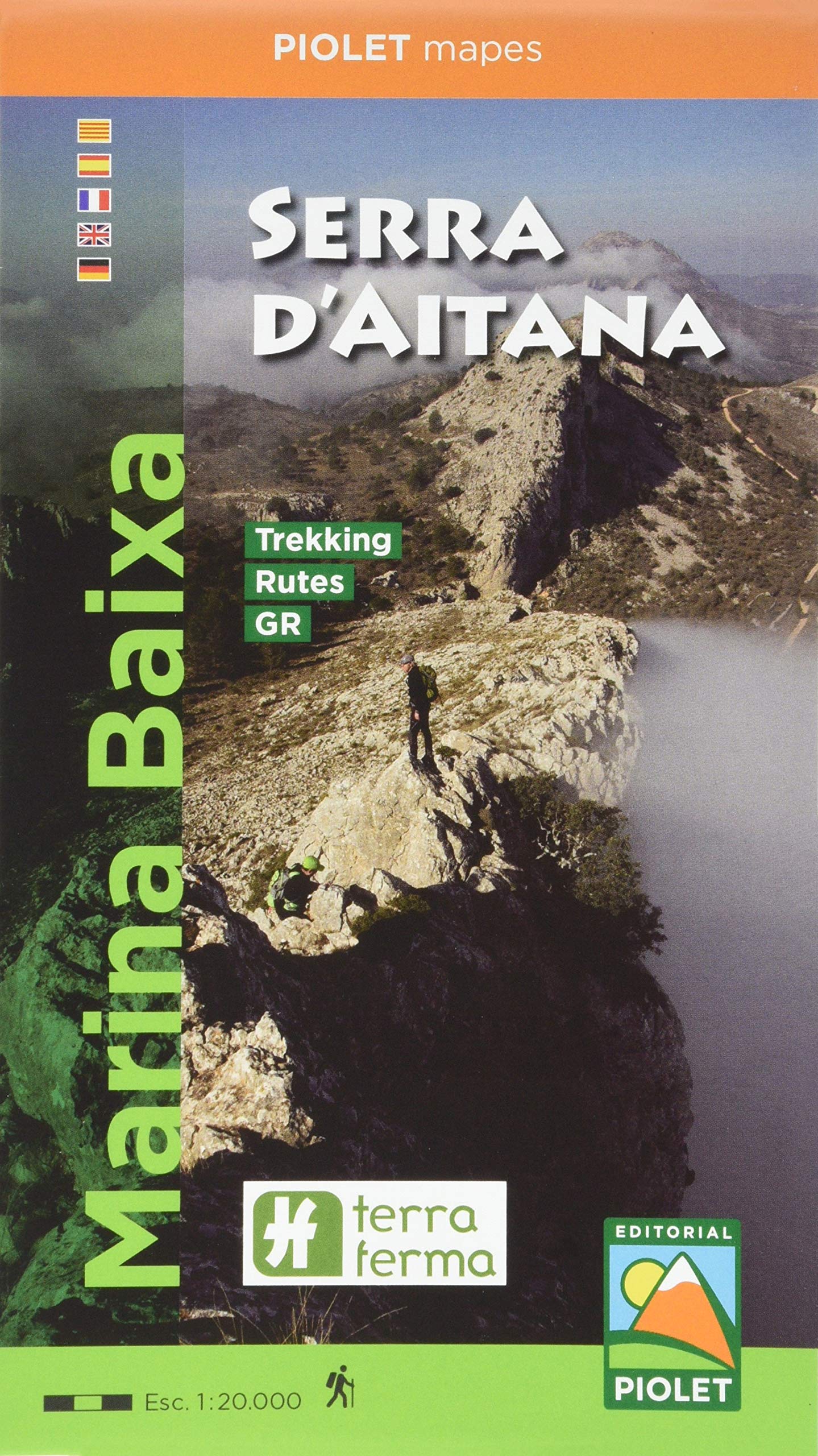
- Marina Baixa - Serra d`Aitana Editorial Piolet
- Marina Baixa: Serra d`Aitana area at 1:20,000 in a series of GPS compatible maps from Editorial Piolet with cartography based on Spain’s civilian topographic survey overprinted with hiking routes and other tourist information. Road network indicates locations of petrol stations. Local villages are annotated to show what facilities can be found... Read more
De Zwerver
Netherlands
2018
Netherlands
2018
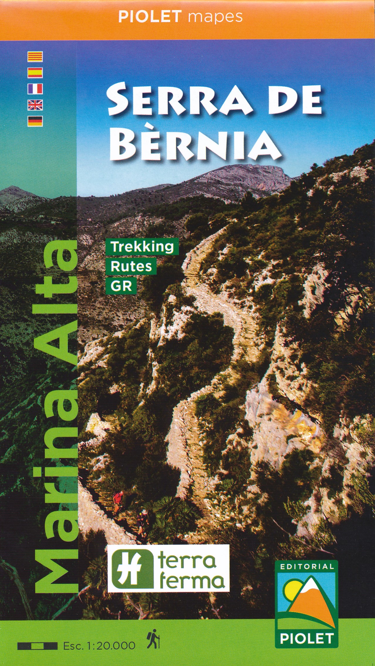
- Wandelkaart Marina Alta Serra de Bernia | Editorial Piolet
- Heel nauwkeurige wandelkaart van een mooi gebied net ten noorden van Benidorm. De Spaanse uitgever Editorial Piolet maakt bijzonder gedetailleerde kaarten van deelgebieden in Spanje, geschikt voor wandelaars en MTB-ers. Van ouds her zijn ze begonnen in de regio rond Barcelona maar ze breiden steeds meer uit richting andere delen van Spanje, De... Read more
- Also available from:
- Stanfords, United Kingdom

Stanfords
United Kingdom
2018
United Kingdom
2018
- Serra de Bernia - Marina Alta Editorial Piolet
- Marina Alta: Serra de Bernia area at 1:20,000 in a series of GPS compatible maps from Editorial Piolet with cartography based on Spain’s civilian topographic survey overprinted with hiking routes and other tourist information. Road network indicates locations of petrol stations. Local villages are annotated to show what facilities can be found... Read more
De Zwerver
Netherlands
Netherlands
- Wandelkaart Parque Regional de Calblanque | Editorial Piolet
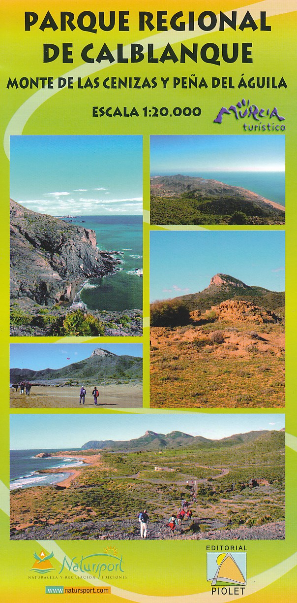
- Uitstekende wandelkaart van een klein gebied. Met ingetekende wandelroutes en hoogtelijnen. Excellent 1:20.000 scale map of the area of Regional Park Calblanque in Murcia. Includes local signaling pathways, GR, PR, Nordik Walking tour and most characteristic areas of diving. Equidistance between contours 10 m. Monte de las Cenizas y Pena del Aguila Read more
- Also available from:
- Stanfords, United Kingdom
Stanfords
United Kingdom
United Kingdom
- Calblanque, Monte de las Cenizas and Peña del Aguila Regional Park
- Calblanque, Monte de las Cenizas and Peña del Aguila Regional Park south of Mar Menor at 1:20,000 in a series of GPS compatible maps from Editorial Piolet with cartography based on Spain’s civilian topographic survey overprinted with hiking routes and other tourist information. The overprint also shows mountain bike routes. Road network... Read more
De Zwerver
Netherlands
Netherlands
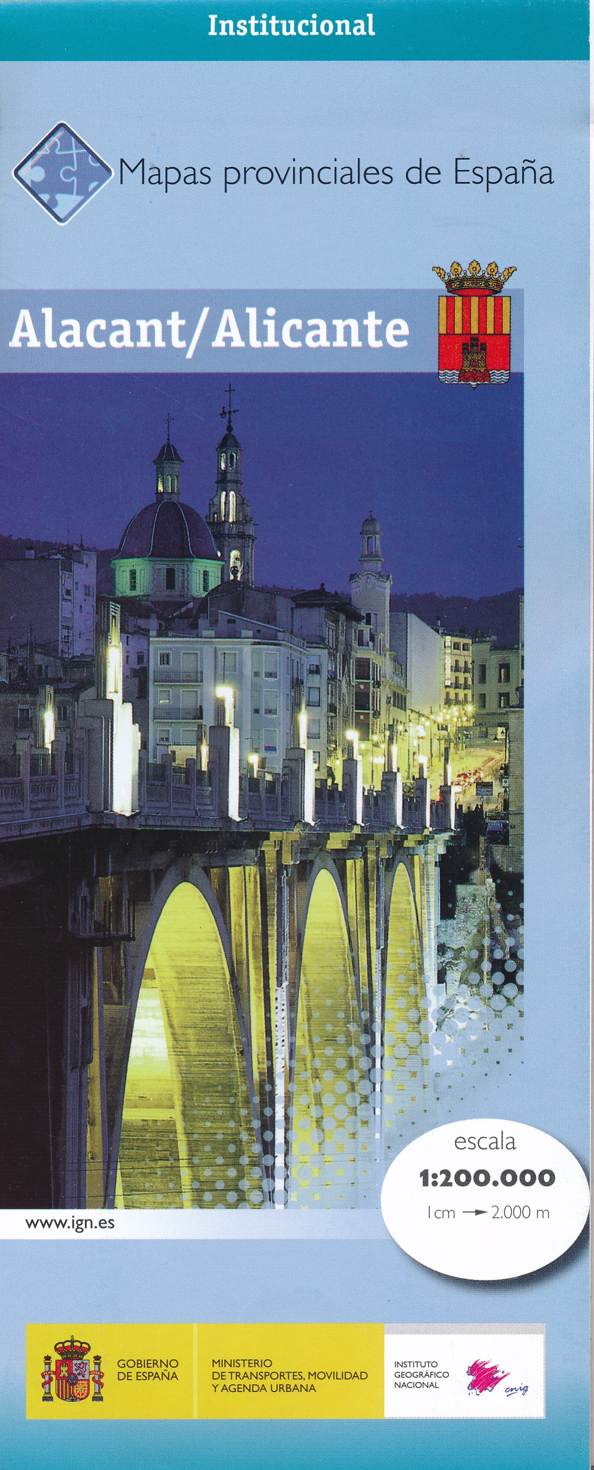
- Wegenkaart - landkaart Mapa Provincial Alicante | CNIG - Instituto Geográfico Nacional
- Contoured, GPS-compatible, indexed road map at 1:200,000 from CNIG - Spain’s civilian survey organization, with exceptionally informative presentation of the landscape and highlighting for facilities and places of interest including campsites and paradors.Maps in CNIG’s 200K Provincial Series provide an excellent picture the topography through... Read more
- Also available from:
- Stanfords, United Kingdom

Stanfords
United Kingdom
United Kingdom
- Alicante Province 200K CNIG Map No. 3
- Contoured, GPS-compatible, indexed road map at 1:200,000 from CNIG - Spain’s civilian survey organization, with exceptionally informative presentation of the landscape and highlighting for facilities and places of interest including campsites and paradors.Maps in CNIG’s 200K Provincial Series provide an excellent picture the topography through... Read more
De Zwerver
Netherlands
2015
Netherlands
2015
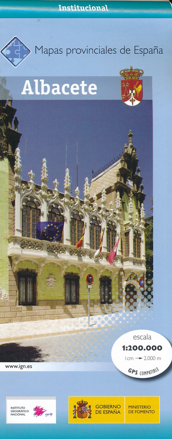
- Wegenkaart - landkaart Mapa Provincial Albacete | CNIG - Instituto Geográfico Nacional
- Albacete Province of Spain at 1:200,000 in a series of contoured, GPS-compatible, indexed road maps at 1:200,000 from the IGN/CNIG, the country’s civilian survey organization, with exceptionally informative presentation of the landscape and highlighting for facilities and places of interest including campsites and paradors.Maps in this series... Read more
- Also available from:
- Stanfords, United Kingdom

Stanfords
United Kingdom
2015
United Kingdom
2015
- Albacete Province 200K CNIG Map No. 2
- Contoured, GPS-compatible, indexed road map at 1:200,000 from CNIG - Spain’s civilian survey organization, with exceptionally informative presentation of the landscape and highlighting for facilities and places of interest including campsites and paradors.Maps in CNIG’s 200K Provincial Series provide an excellent picture the topography through... Read more
De Zwerver
Netherlands
Netherlands
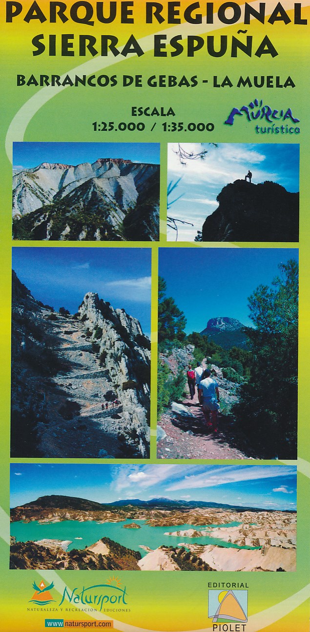
- Wandelkaart Parque Regional Sierra Espuna | Editorial Piolet
- Barrancos de Gebas - La Muela Uitstekende wandelkaart van een klein gebied. Met ingetekende wandelroutes en hoogtelijnen. Excellent 1:25.000 scale map of the area of Regional Park Sierra Espuna in Murcia. Includes local signaling pathways, GR, PR, Nordik Walking tour and most characteristic areas of diving. Equidistance between contours 10 m. Read more
- Also available from:
- Stanfords, United Kingdom

Stanfords
United Kingdom
United Kingdom
- Sierra Espuña - Barrancos de Gebas - La Muela Editorial Piolet Hiking Map
- Sierra Espuña - Barrancos de Gebas - La Muela area west of Murcia on a contoured and GPS compatible map from Editorial Piolet. On one side is a wider area presented at 1:35,000 – coverage extends west from Alhama de Murcia across Sierra Espuña and north to Mula, with a separate panel at 1:25,000 extending the main map directly north of Alhama... Read more