
Rota Vicentina
Beschreibung
- Name Rota Vicentina (GR11)
- Länge von Wanderweg 350 km, 217 Meilen
- Länge in Tagen 14 Tage
- Anfang von Wanderweg Santiago do Cacém / Porto Covo
- Ende von Wanderweg Cabo de São Vicente
- Traildino Schwierigkeit EW, Leichte Wanderung, Naturwanderweg


Santiago do Cacém / Porto Covo - Cabo de São Vicente, 350 km excluding extra circuits, 14 days
This trail consists of two trails that intertwine:
Most people start North and walk South, giving them the epic feeling of reaching Cabo de São Vicente pointing far into the Atlantic, where giant waves hit the steep cliffs and where exhausted migratory birds from Africa land on their last wings.
You have two options: either start along the coast in Porto Covo, the Fishermen’s Trail; or start inland in Santiago do Cacém, the Historical Way. In Odeceixe, the Historical Way and the Fishermen’s Trail meet. From this point onwards the Fishermen’s Trail follows the itinerary of the Historical Way but for five circular sections that divert you from the Historical Way to the coastline.
Refer to the description of these trails elsewhere on Traildino.
Links
Fakten
Berichte
Führer und Karten
Übernachtung
Organisationen
Reisebüros
GPS
Sonstiges
Bücher

- Also available from:
- De Zwerver, Netherlands
- Stanfords, United Kingdom

Netherlands

United Kingdom
- Bournemouth, Purbeck, Wimborne Minster & Ringwood OS Landranger Map 195 (paper)
- Bournemouth and the Isle of Purbeck area, including part of the New Forest National Park and a section of the South West Coast Path / E9 European Long-distance Path, on a paper version of map No. 195 from the Ordnance Survey’s Landranger series at 1:50,000, with contoured and GPS compatible topographic mapping plus tourist information.MOBILE... Read more

- Also available from:
- Stanfords, United Kingdom

United Kingdom
- Exeter, Sidmouth, Exmouth & Teignmouth OS Landranger Active Map 192 (waterproof)
- Exeter and Sidmouth area, including a section of the South West Coast Path / E9 European Long-distance Path, on a waterproof and tear-resistant OS Active version of map No. 192 from the Ordnance Survey’s Landranger series at 1:50,000, with contoured and GPS compatible topographic mapping plus tourist information.MOBILE DOWNLOADS: As well as the... Read more

- Also available from:
- De Zwerver, Netherlands
- Stanfords, United Kingdom

Netherlands

United Kingdom
- The Solent, Isle of Wight, Southampton & Portsmouth OS Landranger Map 196 (paper)
- Isle of Wight with the Southampton - Portsmouth area, including part of the New Forest National Park and a section of the E9 European Long-distance Path, on a paper version of map No. 196 from the Ordnance Survey’s Landranger series at 1:50,000, with contoured and GPS compatible topographic mapping plus tourist information.MOBILE DOWNLOADS: As... Read more

- Also available from:
- Stanfords, United Kingdom

United Kingdom
- Taunton, Lyme Regis, Chard & Bridport OS Landranger Active Map 193 (waterproof)
- Taunton and Lyme Regis area, including a section of the South West Coast Path / E9 European Long-distance Path, on a waterproof and tear-resistant OS Active version of map No. 193 from the Ordnance Survey’s Landranger series at 1:50,000, with contoured and GPS compatible topographic mapping plus tourist information.MOBILE DOWNLOADS: As well as... Read more

- Also available from:
- De Zwerver, Netherlands
- Stanfords, United Kingdom

Netherlands

United Kingdom
- Chichester, South Downs, Bognor Regis & Arundel OS Landranger Map 197 (paper)
- Chichester and Bognor Regis area, including the South Downs National Park and a section of the South Downs Way / E9 European Long-distance Path, on a paper version of map No. 197 from the Ordnance Survey’s Landranger series at 1:50,000, with contoured and GPS compatible topographic mapping plus tourist information.MOBILE DOWNLOADS: As well as... Read more

- Also available from:
- Stanfords, United Kingdom

United Kingdom
- Dorchester, Weymouth, Cerne Abbas & Bere Regis OS Landranger Active Map 194 (waterproof)
- Dorchester and Weymouth area, including a section of the South West Coast Path / E9 European Long-distance Path, on a waterproof and tear-resistant OS Active version of map No. 194 from the Ordnance Survey’s Landranger series at 1:50,000, with contoured and GPS compatible topographic mapping plus tourist information.MOBILE DOWNLOADS: As well as... Read more

United Kingdom
- Vignemale - Valle de Bujaruelo
- Cross-border area of the Pyrenees at 1:25,000 on a contoured and GPS compatible map covering on the Spanish side the valleys of Bujaruelo and Ara with the western section of the Ordesa National Park and the Ordesa Valley, and within France extending from the Vignemale Massif to Gavarnie, plus a Spanish/French booklet with recommendations for... Read more
- Also available from:
- De Zwerver, Netherlands
- Stanfords, United Kingdom

Netherlands
- Wandelkaart 06 Vignemale - Valle de Bujaruelo | Editorial Alpina
- Cross-border area of the Pyrenees at 1:25,000 on a contoured and GPS compatible map covering on the Spanish side the valleys of Bujaruelo and Ara with the western section of the Ordesa National Park and the Ordesa Valley, and within France extending from the Vignemale Massif to Gavarnie, plus a Spanish/French booklet with recommendations for... Read more

United Kingdom
- Vignemale - Valle de Bujaruelo Editorial Alpina
- Cross-border area of the Pyrenees at 1:25,000 on a contoured and GPS compatible map covering on the Spanish side the valleys of Bujaruelo and Ara with the western section of the Ordesa National Park and the Ordesa Valley, and within France extending from the Vignemale Massif to Gavarnie, plus a Spanish/French booklet with recommendations for... Read more

- Also available from:
- De Zwerver, Netherlands
- Stanfords, United Kingdom

Netherlands

United Kingdom
- Brighton, Lewes, Worthing, Horsham & Haywards Heath OS Landranger Map 198 (paper)
- Brighton and Lewes area, including the South Downs National Park and a section of the South Downs Way / E9 European Long-distance Path, on a paper version of map No. 198 from the Ordnance Survey’s Landranger series at 1:50,000, with contoured and GPS compatible topographic mapping plus tourist information.MOBILE DOWNLOADS: As well as the... Read more

United Kingdom
- Monte Perdido Macizo de / Valle de Ordesa / Pineta
- Ordesa and Monte Perdido National Park at 1:25,000 in a set of two GPS compatible recreational maps in an extensive and very popular series from Editorial Alpina, providing more detailed coverage of this popular hiking area.Contours are at 10m intervals, with relief shading and vegetation colouring. An overprint highlights waymarked PR hiking... Read more
- Also available from:
- Stanfords, United Kingdom

United Kingdom
- Macizo de Monte Perdido - Valle de Ordesa - Pineta Editorial Alpina
- Ordesa and Monte Perdido National Park at 1:25,000 in a set of two GPS compatible recreational maps in an extensive and very popular series from Editorial Alpina, providing more detailed coverage of this popular hiking area.Contours are at 10m intervals, with relief shading and vegetation colouring. An overprint highlights waymarked PR hiking... Read more

United Kingdom
2022
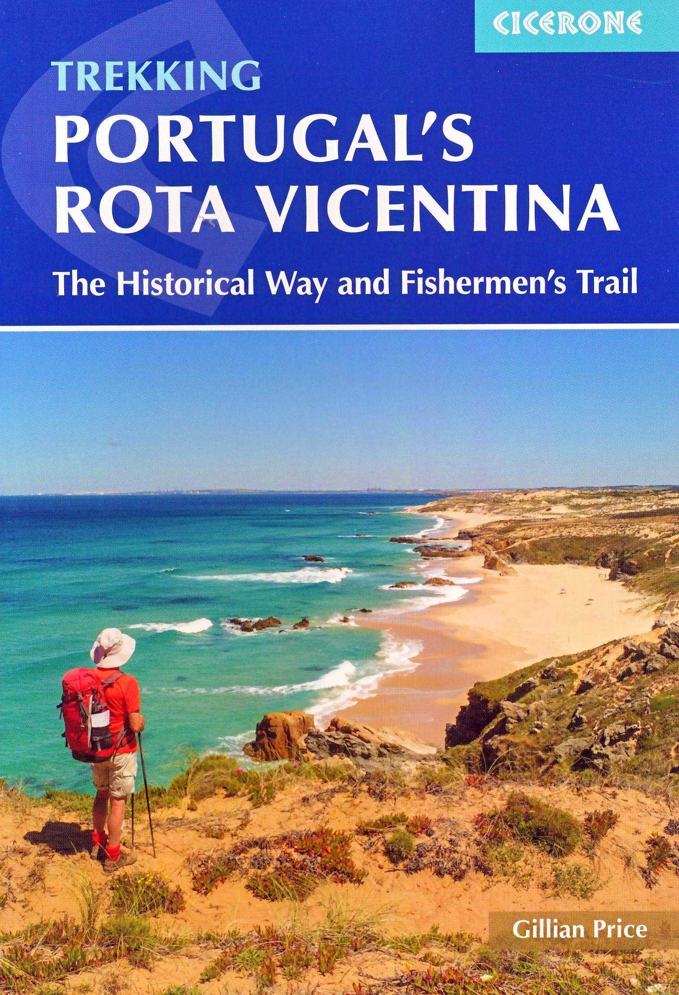
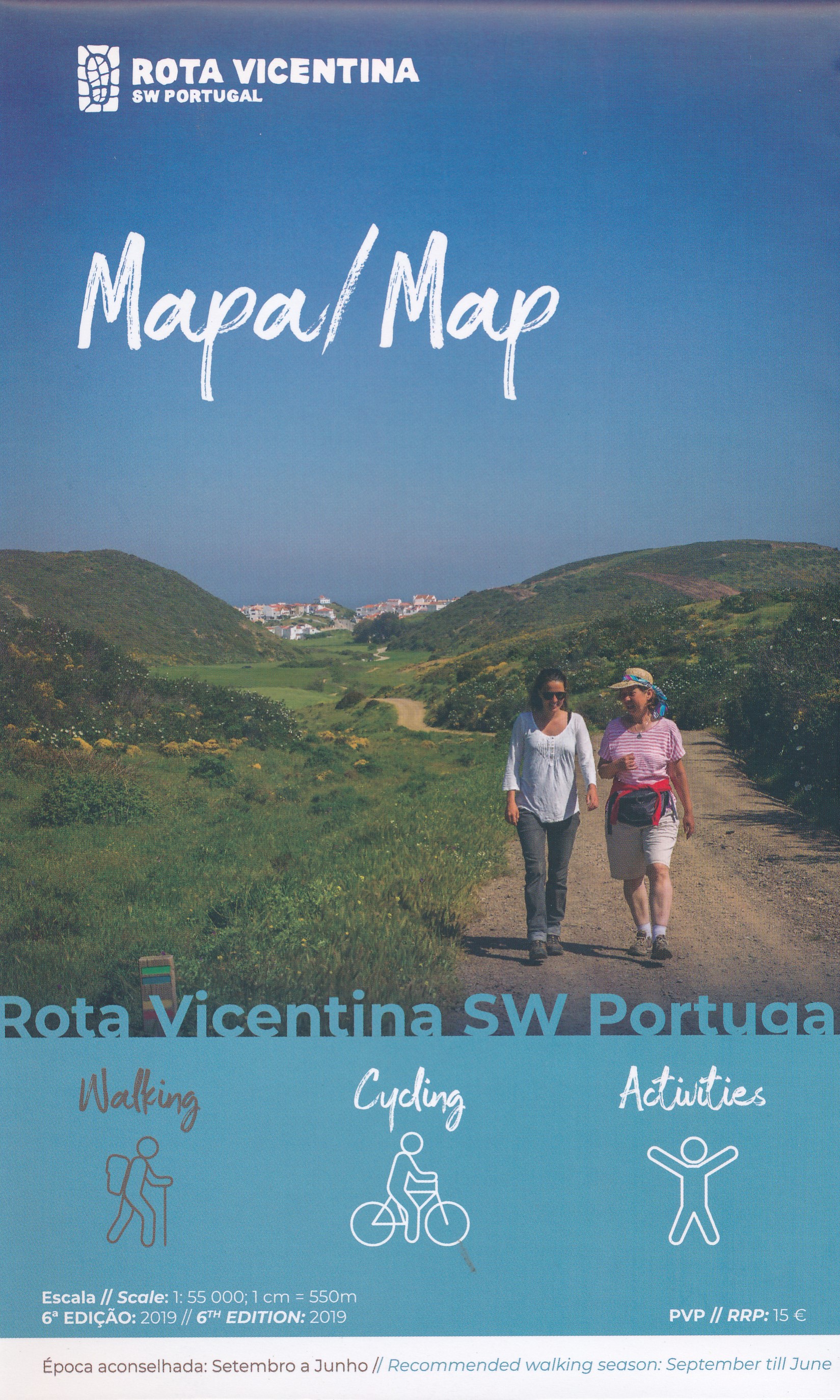
- Portugal's Rota Vicentina
- The Historical Way and Fishermen's Trail Read more
- Also available from:
- De Zwerver, Netherlands
Netherlands
2022
- Wandelgids Portugal's Rota Vicentina | Cicerone
- The Historical Way and Fishermen's Trail Read more

- Also available from:
- De Zwerver, Netherlands
- Stanfords, United Kingdom

Netherlands

United Kingdom
- Canterbury, East Kent, Dover & Margate OS Landranger Map 179 (paper)
- Eastern Kent with Canterbury, Dover and Margate, including sections of the North Downs Way and the E2 and E9 European Long-Distance Paths, on a paper version of map No. 179 from the Ordnance Survey’s Landranger series at 1:50,000, with contoured and GPS compatible topographic mapping plus tourist information.MOBILE DOWNLOADS: As well as the... Read more

- Also available from:
- De Zwerver, Netherlands
- Stanfords, United Kingdom

Netherlands

United Kingdom
- Eastbourne, Hastings, Crowborough, Battle & Heathfield OS Landranger Map 199 (paper)
- Eastbourne and Hastings area, including the Seven Sisters and sections of the South Downs Way and the E9 European Long-distance Path, on a paper version of map No. 199 from the Ordnance Survey’s Landranger series at 1:50,000, with contoured and GPS compatible topographic mapping plus tourist information.MOBILE DOWNLOADS: As well as the physical... Read more

- Also available from:
- De Zwerver, Netherlands
- Stanfords, United Kingdom

Netherlands
2022
- Wandelgids Pyrenean Haute Route - a high level trail, Pyreneeën HRP | Cicerone
- Guidebook to trekking the Pyrenean Haute Route, which zigzags across the Franco-Spanish border, staying close to the main ridge in the highest and most spectacular central Pyrenees. It covers 750km with over 40km of ascent, so is suitable for experienced mountain walkers only. The largely unwaymarked route is presented in 45 stages. Read more

United Kingdom
2019
- The Pyrenean Haute Route
- There are three main trekking routes across the Pyrenees from coast to coast: of these, the Pyrenean Haute Route (or HRP for Haute Route Pyreneenne) is the most challenging - and arguably, the most spectacular. Unlike the GR10 and GR11, it is not waymarked and borders on mountaineering at times, sticking as closely as possible to the main... Read more

- Also available from:
- De Zwerver, Netherlands
- Stanfords, United Kingdom

Netherlands

United Kingdom
- Ashford, Romney Marsh, Rye & Folkestone OS Landranger Map 189 (paper)
- Ashford and Romney Marsh area, including sections of the North Downs Way and the E9 European Long-distance Path, on a paper version of map No. 189 from the Ordnance Survey’s Landranger series at 1:50,000, with contoured and GPS compatible topographic mapping plus tourist information.MOBILE DOWNLOADS: As well as the physical edition of the map,... Read more

United Kingdom
- Also available from:
- Stanfords, United Kingdom

United Kingdom
- Purbeck & South Dorset - Poole, Dorchester - Weymouth & Swanage OS Explorer Active Map OL15 (waterproof)
- Purbeck and the southern part of Dorset on a detailed topographic and GPS compatible map OL15, waterproof version, from the Ordnance Survey’s 1:25,000 Explorer series. Coverage extends from Poole and Swanage in the east to Bridport in the west, and includes Dorchester, Tolpuddle, Bere Regis, Wareham, Weymouth, Chesil Beach, Portland Bill, the... Read more
Karten

- Also available from:
- De Zwerver, Netherlands
- Stanfords, United Kingdom

United Kingdom
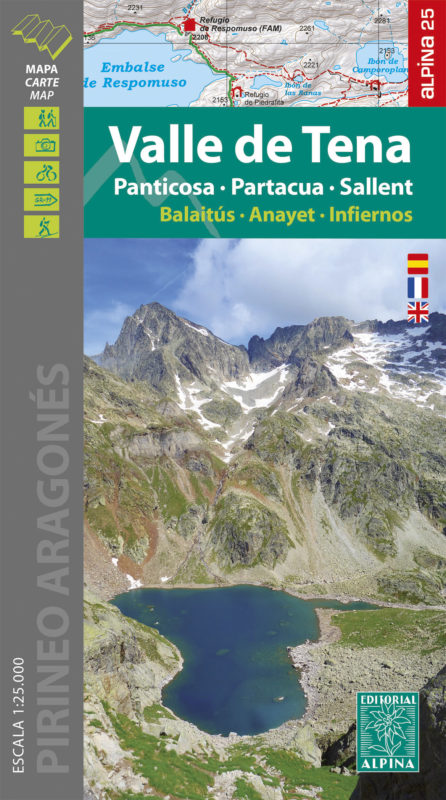
- Valle de Tena - Panticosa - Partacua - Sallent Editorial Alpina
- Valle de Tena in the central part of the Spanish Pyrenees on a contoured and GPS compatible map at 1:25,000 from Editorial Alpina, with coverage including Panticosa, Sallent de Gállego, Sierra de Partacua, Sierra de Tendeñera, etc. Accompanying booklet includes contact details for campsites, refuges, etc.Topography is presented by contours at... Read more

- Also available from:
- Stanfords, United Kingdom

United Kingdom
- Ordesa and Monte Perdido National Park Editorial Alpina
- Ordesa and Monte Perdido National Park at 1:40,000 on a GPS compatible recreational map in an extensive and very popular series from Editorial Alpina, including a booklet with English language descriptions of several walks, climbs, etc.Contours are at 20m intervals, with relief shading and altitude colouring. An overprint highlights waymarked... Read more

United Kingdom
2017
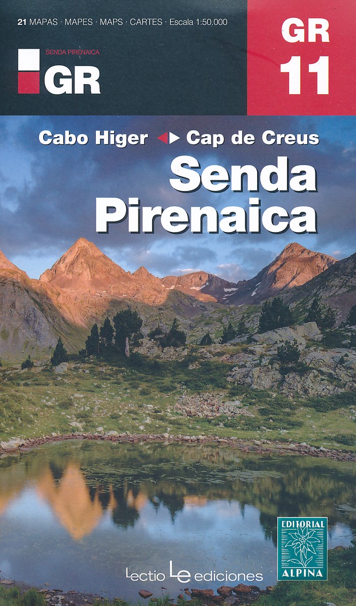
- Senda Pirenaica GR11 guide and map Cabo Higer - Cap de Creus 2017
- Set van 21 kaarten, schaal 1:50.000, met intekening van de GR11, de lange-afstandswandeling door de Spaanse Pyreneeën. Van kust tot kust, van Cabo Higuer (bij Irun) naar Cap de Creus (Costa Brava). Onderverdeeld in 43 trajecten. Met hoogteprofielen, gemiddelde looptijden, afstanden, locaties van berghutten, campings en hotels. Read more
- Also available from:
- De Zwerver, Netherlands
Netherlands
2017
- Wandelkaart Senda Pirenaica GR11 | Editorial Alpina
- Set van 21 kaarten, schaal 1:50.000, met intekening van de GR11, de lange-afstandswandeling door de Spaanse Pyreneeën. Van kust tot kust, van Cabo Higuer (bij Irun) naar Cap de Creus (Costa Brava). Onderverdeeld in 43 trajecten. Met hoogteprofielen, gemiddelde looptijden, afstanden, locaties van berghutten, campings en hotels. Read more

United Kingdom
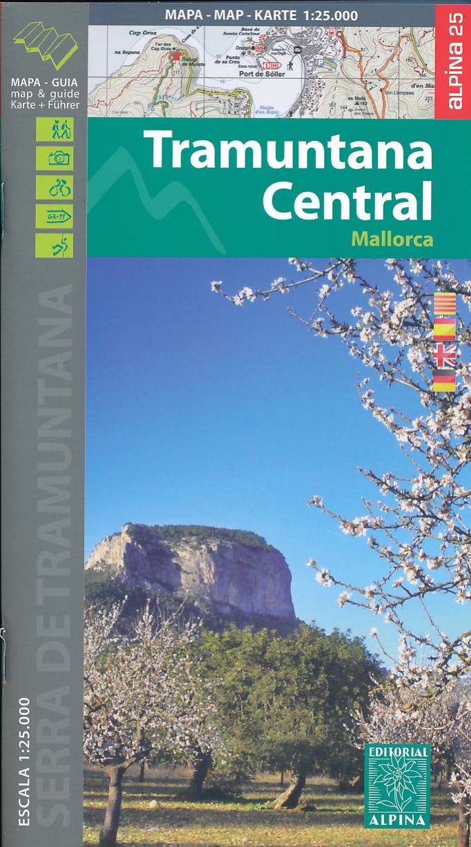
- Mallorca -Tramuntana Central GR11 Map and Hiking Guide
- Zeer gedetailleerde wandelkaart van een deel van de Tramuntana op Mallorca. Met ingetekende wandelroutes en andere informatie. uitstekende kaart. Met symbolen voor campings, hutten. Let op: deze uitgever is traag met het vernieuwen van kaarten; het kan zo maar zijn dat een bepaalde kaart gedurende langere tijd niet beschikbaar is. Majorca:... Read more
- Also available from:
- De Zwerver, Netherlands
- Stanfords, United Kingdom
Netherlands
- Wandelkaart 67 Tramuntana Central - Mallorca | Editorial Alpina
- Zeer gedetailleerde wandelkaart van een deel van de Tramuntana op Mallorca. Met ingetekende wandelroutes en andere informatie. uitstekende kaart. Met symbolen voor campings, hutten. Let op: deze uitgever is traag met het vernieuwen van kaarten; het kan zo maar zijn dat een bepaalde kaart gedurende langere tijd niet beschikbaar is. Majorca:... Read more

United Kingdom
- Mallorca - Tramuntana Central Editorial Alpina
- The central part of Mallorca’s Serra de Tramuntana mountains on a contoured and GPS-compatible map at 1:25,000 from Editorial Alpina, highlighting numerous local hiking trails and the course of the GR221 long-distance trail, climbing and canyoning sites, refuges and campsites, etc. Accompanying booklet includes English-language descriptions of... Read more

United Kingdom
- Mallorca -Tramuntana Norte GR11 map and hiking guide
- Zeer gedetailleerde wandelkaart van een deel van de Tramuntana op Mallorca. Met ingetekende wandelroutes en andere informatie. uitstekende kaart. Met symbolen voor campings, hutten. Let op: deze uitgever is traag met het vernieuwen van kaarten; het kan zo maar zijn dat een bepaalde kaart gedurende langere tijd niet beschikbaar is. Majorca:... Read more
- Also available from:
- De Zwerver, Netherlands
- Stanfords, United Kingdom
Netherlands
- Wandelkaart 68 Tramuntana Noord GR221 Mallorca | Editorial Alpina
- Zeer gedetailleerde wandelkaart van een deel van de Tramuntana op Mallorca. Met ingetekende wandelroutes en andere informatie. uitstekende kaart. Met symbolen voor campings, hutten. Let op: deze uitgever is traag met het vernieuwen van kaarten; het kan zo maar zijn dat een bepaalde kaart gedurende langere tijd niet beschikbaar is. Majorca:... Read more

United Kingdom
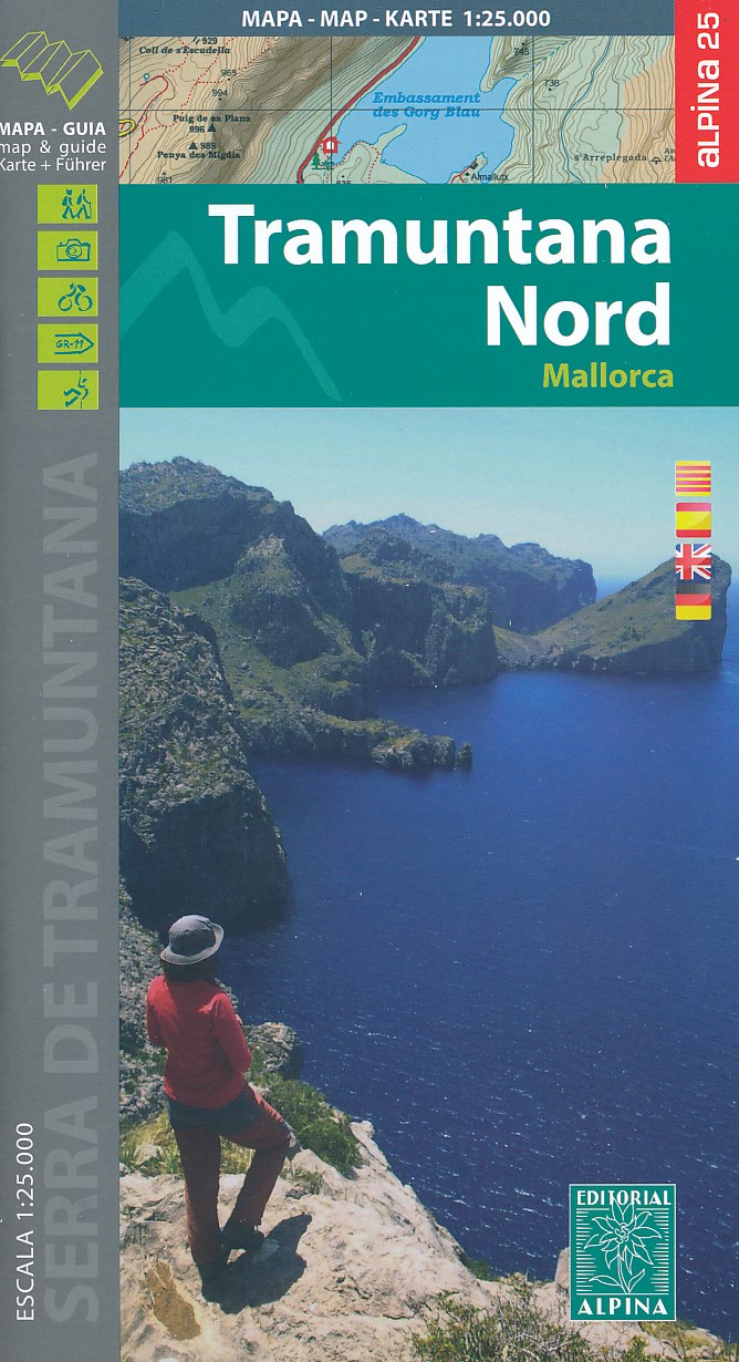
- Mallorca - Tramuntana North Editorial Alpina
- The northern part of Mallorca’s Serra de Tramuntana mountains on a contoured and GPS-compatible map at 1:25,000 from Editorial Alpina, highlighting numerous local hiking trails and the course of the GR221 long-distance trail, climbing and canyoning sites, refuges and campsites, etc. Accompanying booklet includes English-language descriptions of... Read more

- Also available from:
- De Zwerver, Netherlands
- Stanfords, United Kingdom

United Kingdom
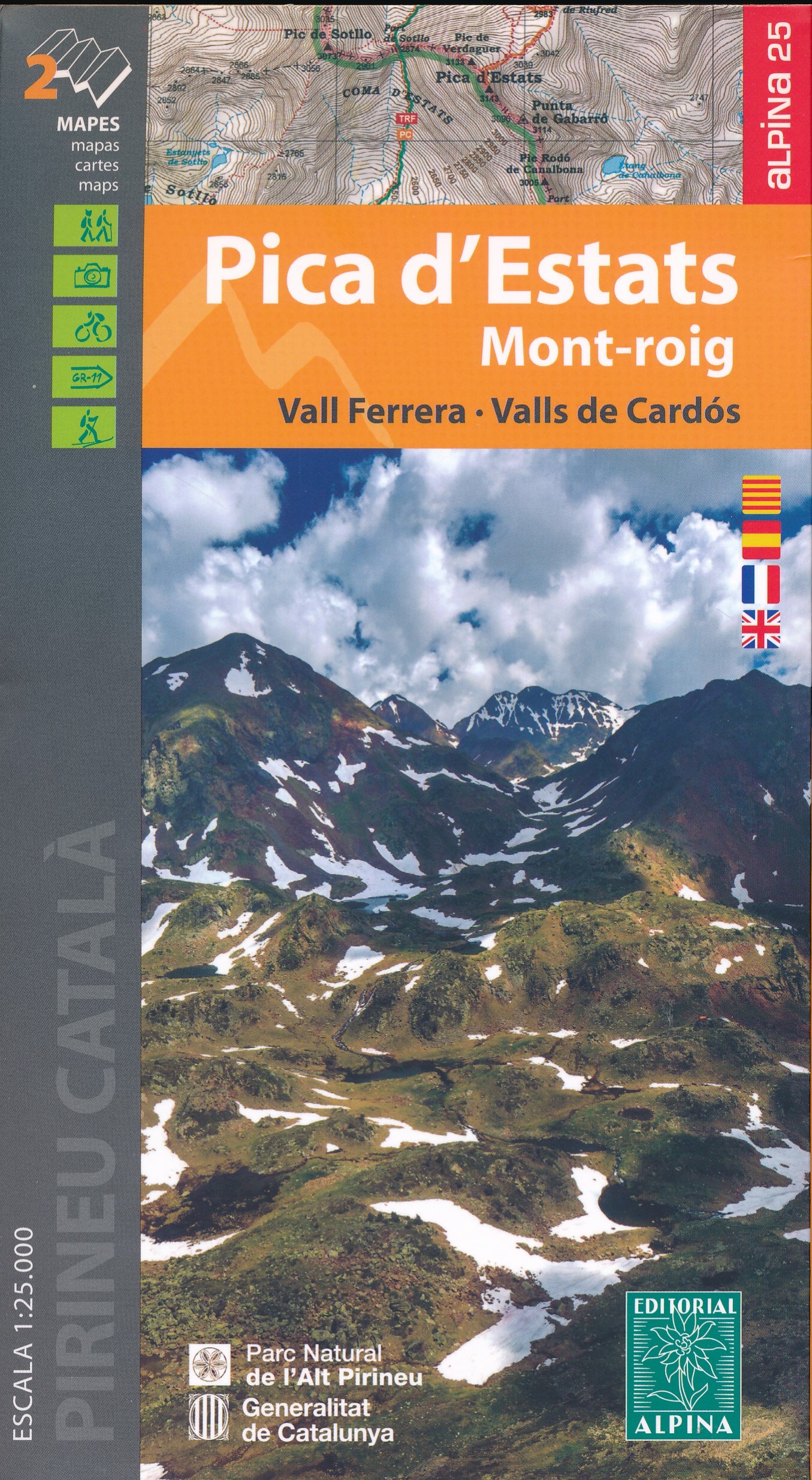
- Pica d`Estats - Mont-roig - Vall Ferrera - Valls de Cardos Editorial Alpina 2-Map Set
- Pica d`Estats - Mont-roig area of the Catalan Pyrenees just west of Andorra on a contoured and GPS-compatible map at 1:25,000 from Editorial Alpina, highlighting local and long-distance hiking trails, tourist accommodation, etc. Coverage extends from the Andorran border westwards beyond the peak of Mont-roig and from the French border south to... Read more
Netherlands
- Wandelkaart 66 Tramuntana Zuid - Mallorca | Editorial Alpina
- Zeer gedetailleerde wandelkaart van een deel van de Tramuntana op Mallorca. Met ingetekende wandelroutes en andere informatie. uitstekende kaart. Met symbolen voor campings, hutten. Let op: deze uitgever is traag met het vernieuwen van kaarten; het kan zo maar zijn dat een bepaalde kaart gedurende langere tijd niet beschikbaar is. Majorca:... Read more
- Also available from:
- Stanfords, United Kingdom

United Kingdom
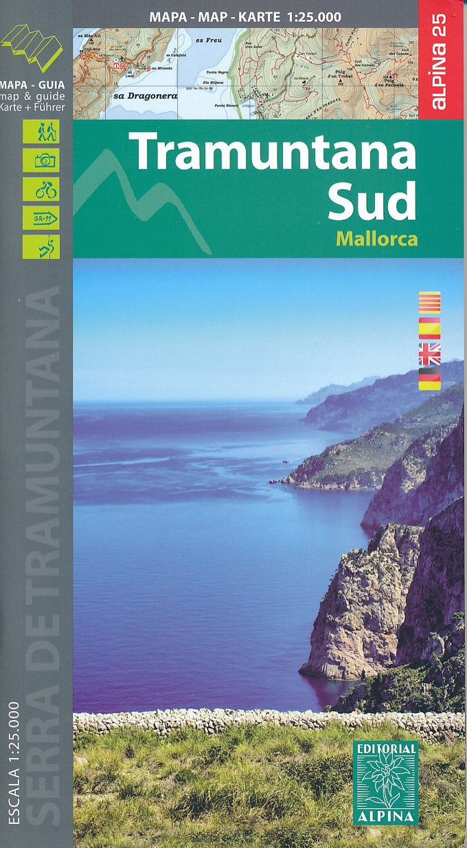
- Mallorca - Tramuntana South Editorial Alpina
- The southern part of Mallorca’s Serra de Tramuntana mountains on a contoured and GPS-compatible map at 1:25,000 from Editorial Alpina, highlighting numerous local hiking trails and the course of the GR221 long-distance trail, climbing and canyoning sites, refuges and campsites, etc. Accompanying booklet includes English-language descriptions of... Read more
Netherlands
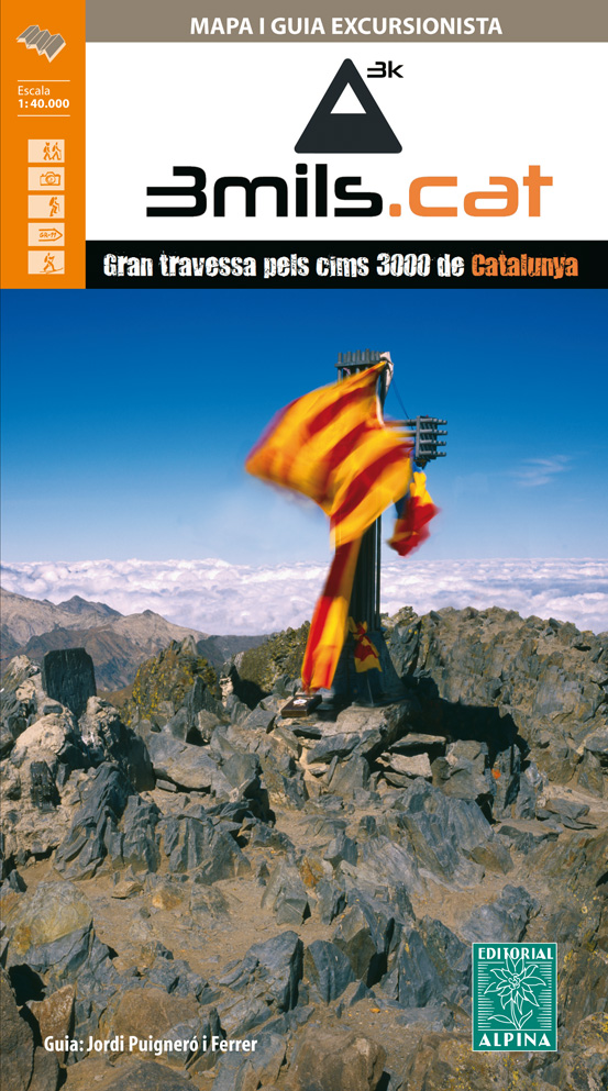
- Wandelkaart 3mils.cat | Editorial Alpina
- The “3mils.cat” route - a 125km / 10 day traverse across 10 over 3000m high peaks in the Catalan Pyrenees - on a contoured and GPS compatible map at 1:40,000 from Editorial Alpina with a booklet providing accommodation details, stage descriptions, etc.The route - from Tuc de Molières o Mulleres (3,010m), just south-east of Pic d’ Aneto, past... Read more
- Also available from:
- Stanfords, United Kingdom

United Kingdom
- 3mils.cat: Traverse of Ten 3000m Peaks in the Catalan Pyreness
- The “3mils.cat” route - a 125km / 10 day traverse across 10 over 3000m high peaks in the Catalan Pyrenees - on a contoured and GPS compatible map at 1:40,000 from Editorial Alpina with a booklet providing accommodation details, stage descriptions, etc.The route - from Tuc de Molières o Mulleres (3,010m), just south-east of Pic d’ Aneto, past... Read more
- Also available from:
- Stanfords, United Kingdom

United Kingdom
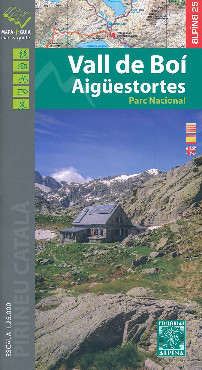
- Vall de Boí - Aigüestortes PN Editorial Alpina
- Vall de Boi area of the Spanish Pyrenees, including the western half of the Aigüestortes i Estany de Sant Maurici National Park, presented on a contoured and GPS compatible map at 1:25,000 from Editorial Alpina. The map has contours at 10m intervals, enhanced by relief shading with plenty of spot heights, plus colouring for different types of... Read more
Netherlands
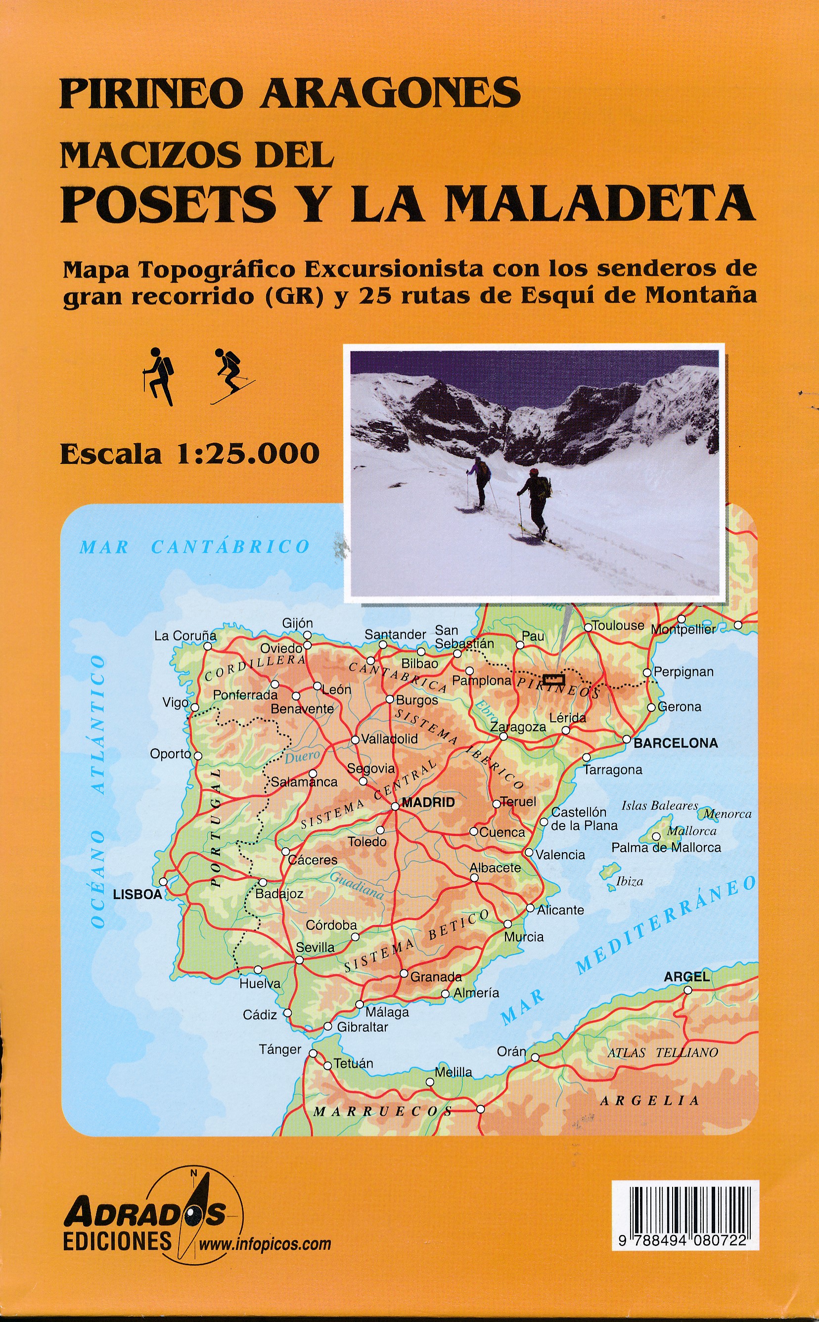
- Wandelkaart Macizos del Posets Y la Maladeta | Adrados Ediciones
- Posets and Maladeta Massifs in the central part of the Spanish Pyrenees on a double-sided, contoured and GPS compatible map at 1:25,000 from Adrados Ediciones, with vivid presentation of the topography, hiking or ski trails, campsites and refuges, etc. Coverage extends from Plan and the Zinqueta River west of the Poset massif, across the... Read more
- Also available from:
- Stanfords, United Kingdom

United Kingdom
- Posets and la Maladeta Massifs Adrados Map
- Posets and Maladeta Massifs in the central part of the Spanish Pyrenees on a double-sided, contoured and GPS compatible map at 1:25,000 from Adrados Ediciones, with vivid presentation of the topography, hiking or ski trails, campsites and refuges, etc. Coverage extends from Plan and the Zinqueta River west of the Poset massif, across the... Read more

United Kingdom
- Comarques Centrales
- Comarques Centrales, the foothills of the Catalan Pyrenees including Ripoll, Olot, Berga, Vic, Solsona, etc, at 1:100,000 in the topographic survey of Catalonia published by the Institut Cartogràfic de Catalunya, with very detailed coverage of a large area and an excellent representation of the region’s topography.Maps in this series have... Read more

United Kingdom
- Hungarian National Long-distance Blue Trail (E7): Irott-ko to Szekszard
- Hiking guide to the western section of Hungary’s National Blue Trail, including part of the E7 European long-distance footpath. The guide covers the route from Írott-ko in the Koszegi range on the Austrian border, across the Orség National Park and the Mecsek Hills near Pécs, to Szekszárd. At the border crossing with Slovakia near... Read more

United Kingdom
- Pirineu Oriental - Girona - Costa Brava
- Pirineu Oriental - Girona - Costa Brava map, covering the eastern part of the Catalan Pyrenees and the coast southwards to Pineda de Mar at 1:100,000 in the topographic survey of Catalonia published by the Institut Cartogràfic de Catalunya, with very detailed coverage of a large area and an excellent representation of the region’s topography.... Read more

United Kingdom
- GR 11: La Senda
- GR11 long-distance footpaths along the Spanish side of the Pyrenees in a French language guide from Rando Editions, with extracts from the publisher’s topographic series at 1:50,000 highlighting the route and mountain refuges.The guide divides the route into 40 sections and covers it from the Mediterranean, starting at Cap de Creus on the Costa... Read more