
Kerry
Beschreibung

County Kerry is one of the most popular tourist destinations. The mountains, lakes and shoreline are great for walking.
Wanderwege Landesteil
Links
Fakten
Berichte
Führer und Karten
Übernachtung
Organisationen
Reisebüros
GPS
Sonstiges
Bücher

- Also available from:
- De Zwerver, Netherlands

The Book Depository
United Kingdom
United Kingdom
- Ireland's County High Points
- Whether you are a leisurely rambler or a serious hill walker, there's a good chance you've visited or plan to visit at least one of Ireland's County High Points. While this special set of Irish hills and mountains continues to attract more visitors each year, they've never had a walking guidebook exclusively devoted to them. Ireland's County... Read more

- Also available from:
- Stanfords, United Kingdom

Stanfords
United Kingdom
United Kingdom
- Epic Hikes of Europe
- Lace up your hiking boots for the next in Lonely Planet`s highly successful Epic series, this time exploring 50 of Europe`s most rewarding and beautiful hikes. From the sun-kissed regions of Southern Europe, including Italy, Greece, Portugal and Spain, to North Europe`s history-rich heartlands (including France, Germany, Belgium, Britain,... Read more

The Book Depository
United Kingdom
2015
United Kingdom
2015
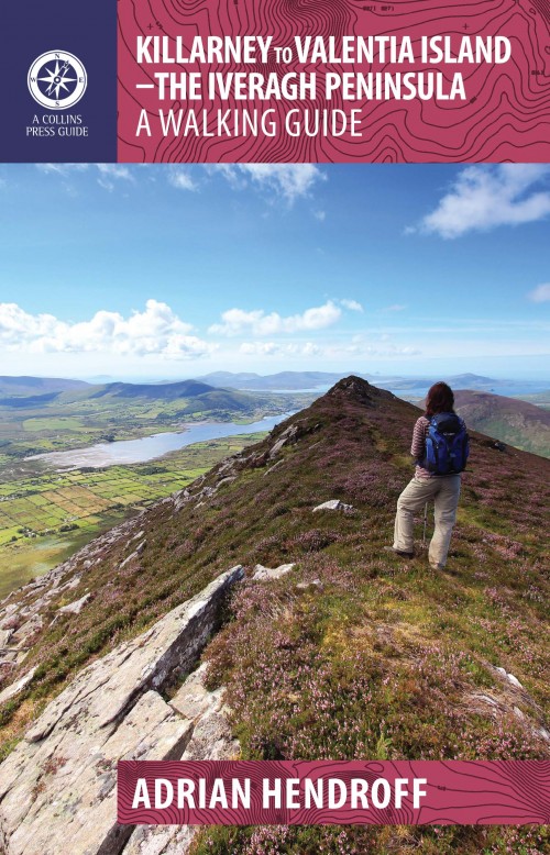
- Killarney to Valentia Island
- The Iveragh Peninsula, the largest in southwest Ireland, stretches from Killarney to Bolus Head and attracts thousands of visitors annually. The Ring of Kerry coastal road winds along its fringes and sandstone peaks soar high above. It is a landscape of raw and stunning beauty from the lakes that fill the corries to the spectacular cliff... Read more
- Also available from:
- De Zwerver, Netherlands
- Stanfords, United Kingdom
De Zwerver
Netherlands
2015
Netherlands
2015
- Wandelgids Killarney to Valentia Island - The Iveragh Peninsula | The Collins Press
- The Iveragh Peninsula, the largest in southwest Ireland, stretches from Killarney to Bolus Head and attracts thousands of visitors annually. The Ring of Kerry coastal road winds along its fringes and sandstone peaks soar high above. It is a landscape of raw and stunning beauty from the lakes that fill the corries to the spectacular cliff... Read more

Stanfords
United Kingdom
2015
United Kingdom
2015
- Killarney to Valentia Island: The Iveragh Peninsula: A Walking Guide
- The Iveragh Peninsula, the largest in southwest Ireland, stretches from Killarney to Bolus Head and attracts thousands of visitors annually. The Ring of Kerry coastal road winds along its fringes and sandstone peaks soar high above. It is a landscape of raw and stunning beauty from the lakes that fill the corries to the spectacular cliff... Read more

- Also available from:
- De Zwerver, Netherlands

The Book Depository
United Kingdom
United Kingdom
- Moon Ireland (Third Edition)
- Castles, Cliffs, and Lively Local Spots Read more
- Also available from:
- Stanfords, United Kingdom

Stanfords
United Kingdom
United Kingdom
- Moon Ireland (Third Edition): Castles, Cliffs, and Lively Local Spots
- From its stirring legends to its stunning landscapes, Ireland is a living, breathing fairy-tale. Ignite your imagination with Moon Ireland. Inside you`ll find:*Flexible itineraries from a two-week ”Best of Ireland” adventure or a weekend in Dublin to 3-day tours of southern, northern, and coastal Ireland that can be combined into a longer... Read more
De Zwerver
Netherlands
2021
Netherlands
2021
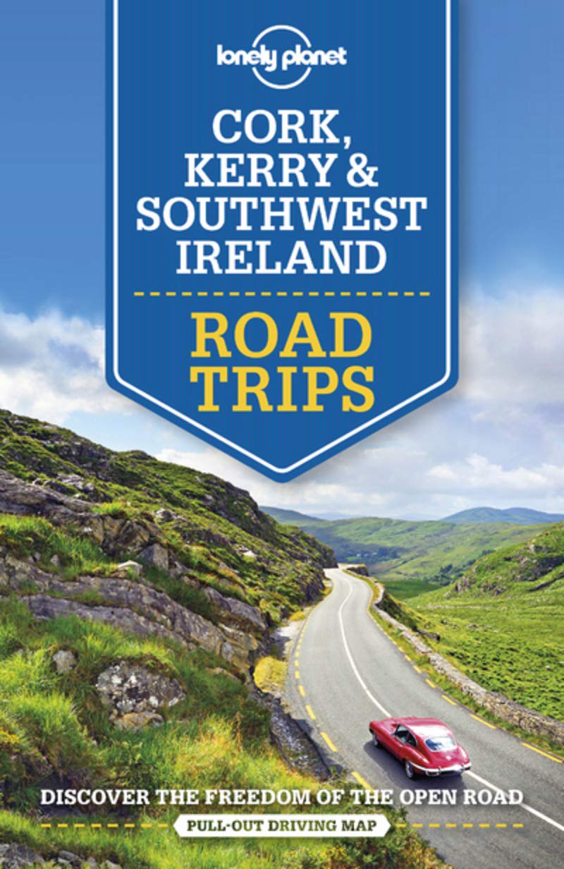
- Reisgids Road Trips Ireland - Ierland | Dorling Kindersley
- With its unspoiled coastline, dramatic ruins and picturesque villages, Ireland is the perfect destination for a leisurely road trip. It`s yours to explore with Road Trips Ireland, which contains 24 amazing drives across the country, from the majestic Ring of Kerry to the extraordinary Giant`s Causeway.Packed with insider tips and information,... Read more
- Also available from:
- Stanfords, United Kingdom

Stanfords
United Kingdom
2021
United Kingdom
2021
- DK Eyewitness Road Trips Ireland
- With its unspoiled coastline, dramatic ruins and picturesque villages, Ireland is the perfect destination for a leisurely road trip. It`s yours to explore with Road Trips Ireland, which contains 24 amazing drives across the country, from the majestic Ring of Kerry to the extraordinary Giant`s Causeway.Packed with insider tips and information,... Read more
De Zwerver
Netherlands
2020
Netherlands
2020
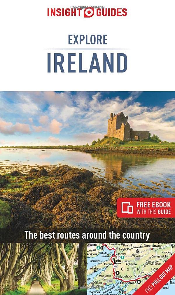
- Reisgids Explore Ireland - Ierland | Insight Guides
- Insight Guides Explore IrelandTravel made easy. Ask local experts. Focused travel guide featuring the very best routes and itineraries, now with free eBook.Discover the best of Ireland with this unique travel guide, packed full of insider information and stunning images. From making sure you don`t miss out on must-see, top attractions like... Read more
- Also available from:
- Stanfords, United Kingdom

Stanfords
United Kingdom
2020
United Kingdom
2020
- Insight Guides Explore Ireland (Travel Guide with Free eBook)
- Insight Guides Explore IrelandTravel made easy. Ask local experts. Focused travel guide featuring the very best routes and itineraries, now with free eBook.Discover the best of Ireland with this unique travel guide, packed full of insider information and stunning images. From making sure you don`t miss out on must-see, top attractions like... Read more
De Zwerver
Netherlands
2020
Netherlands
2020
- Also available from:
- Stanfords, United Kingdom

Stanfords
United Kingdom
United Kingdom
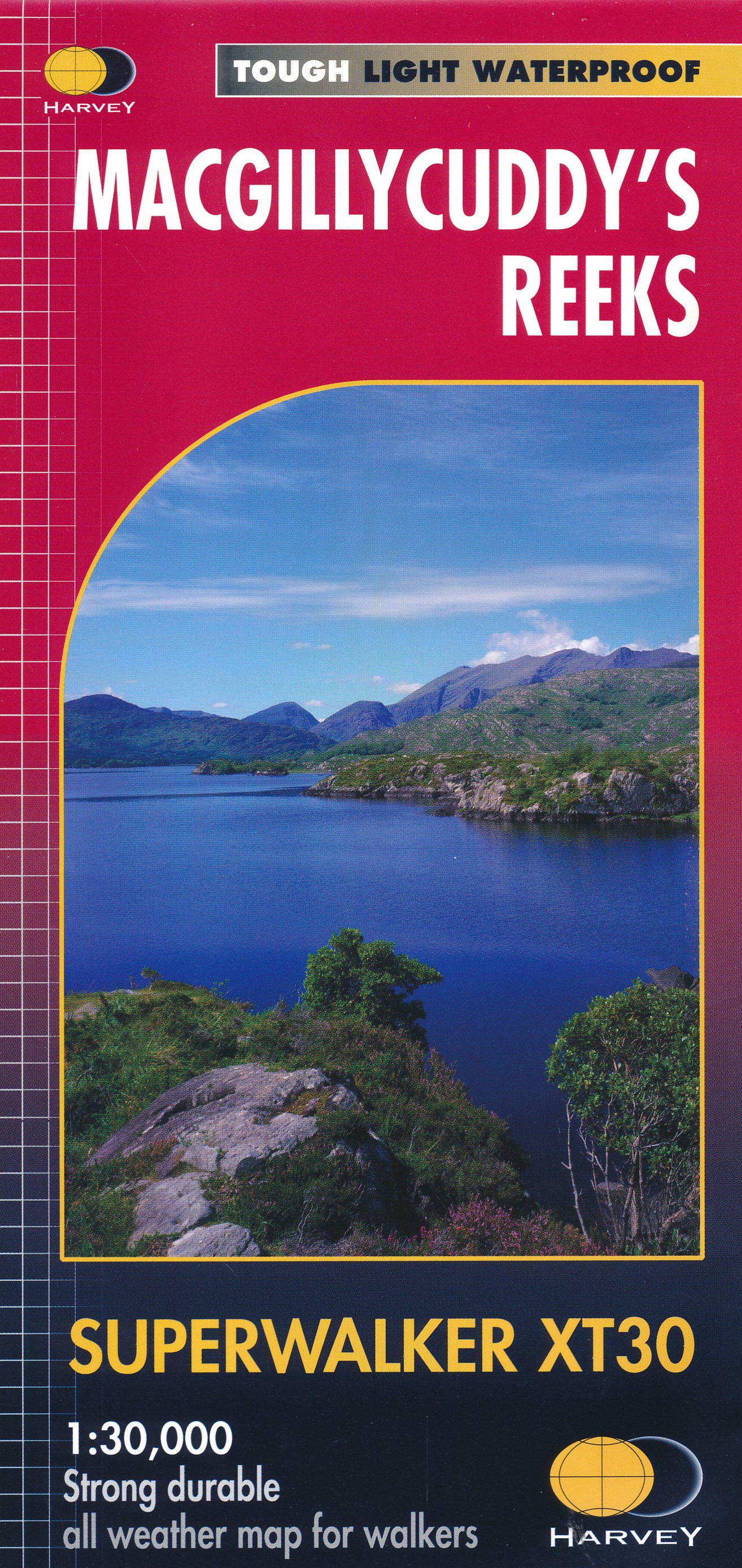
- MacGillycuddy`s Reeks Harvey Superwalker XT30
- Includes the whole of the Killarney National Park.Detailed map for hillwalkers of MacGillycuddy`s Reeks at 1:30,000 scale.Summit enlargement of Carrauntoohil at 1:15,000.Shows tracks, paths and cliffs in detail. As used by Mountain Rescue Ireland.PLEASE NOTE: this title is also available as a pocket-size Ultramap with its scale reduced to... Read more

Stanfords
United Kingdom
United Kingdom
- DK Eyewitness Travel Guide Ireland
- DK Eyewitness travel guides: award-winning guidebooksDiscover Ireland with this essential travel guide to this great island, designed to help you create your own unique trip and to transport you there before you`ve even packed your case - step back in time at Newgrange and other ancient sites across the country, explore the legendary Giant`s... Read more

Stanfords
United Kingdom
United Kingdom
- Travels in Wicklow,West Kerry and Connemara
- J.M. Synge was a tireless traveller who, while celebrating the beauties of the Irish landscape, never flinched from describing the harsh, unromantic reality of rural life. Jack B. Yeats`s evocative drawings were intended to accompany these accounts of Synge`s travels, and they are now published together again for the first time in 100... Read more
Bol.com
Netherlands
2009
Netherlands
2009
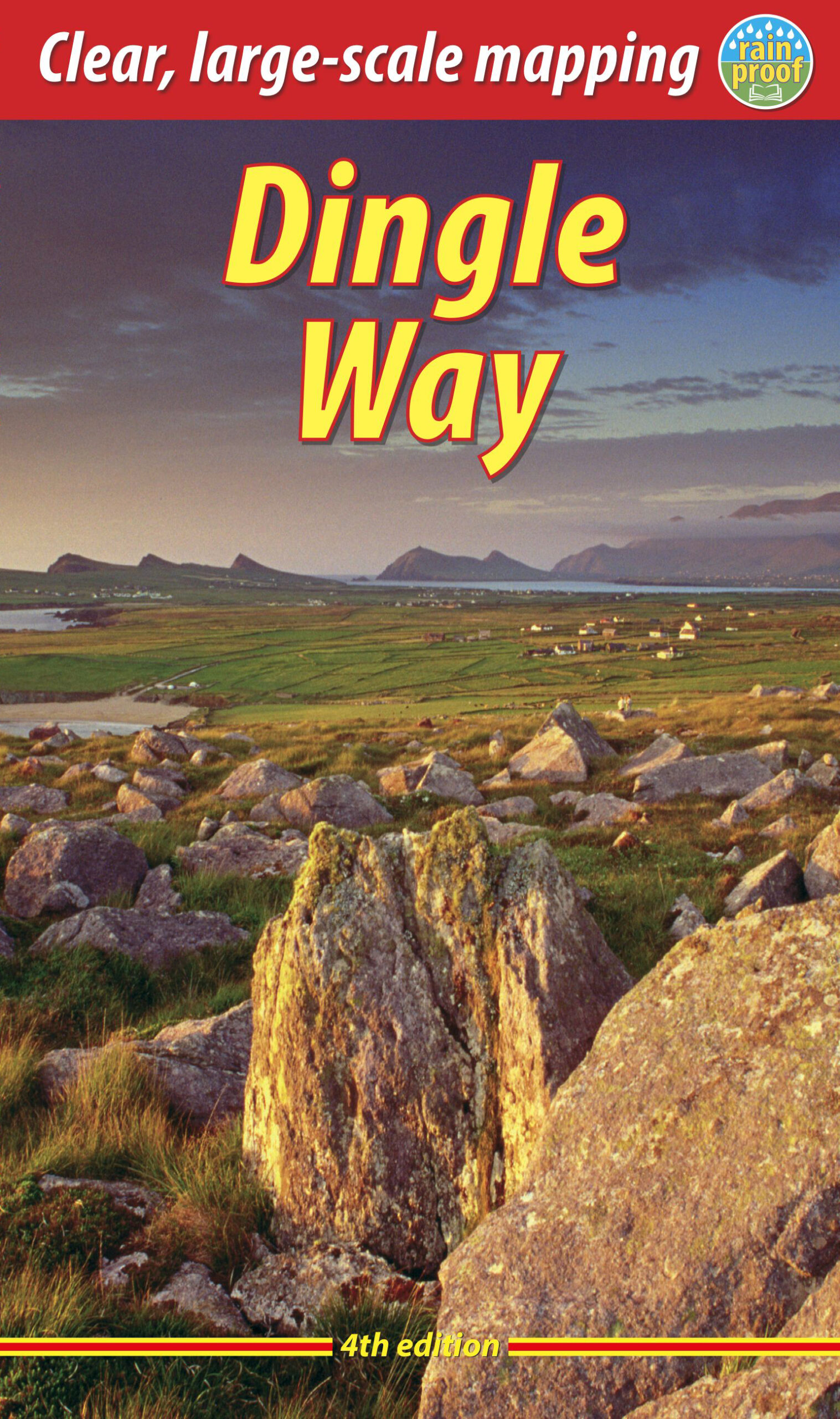
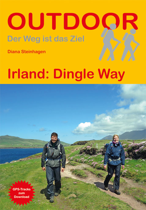
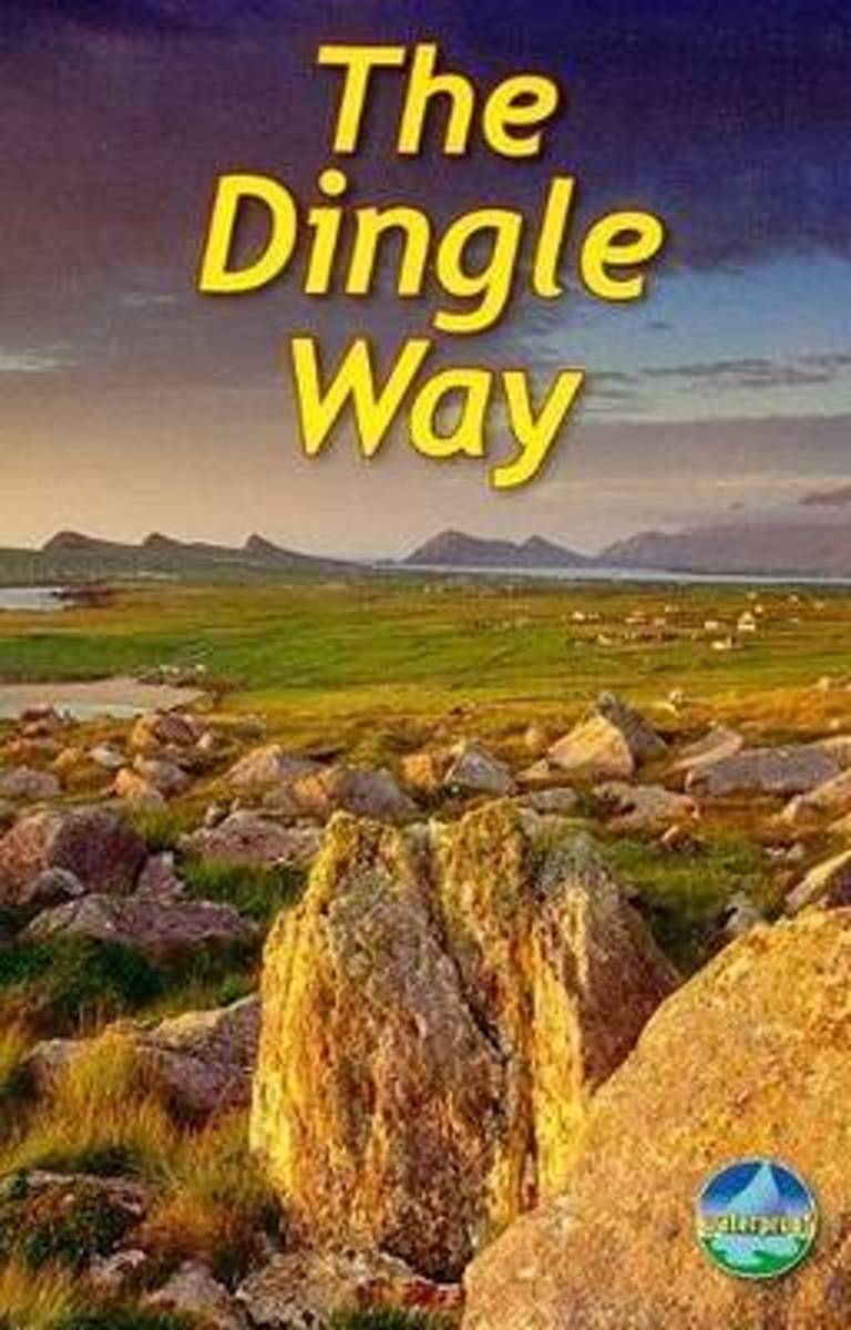
- The Dingle Way
- The Dingle Way runs 111 miles (179 km) around the beautiful Dingle Peninsula. It starts and finishes in Tralee, accessible by train or bus from Dublin and from Kerry Airport. The complete walk takes eight days, but it can easily be shortened. The Dingle Way follows country lanes, quiet roads and cliff-top paths, punctuated by long stretches of... Read more
- Also available from:
- Bol.com, Belgium
Bol.com
Belgium
2009
Belgium
2009
- The Dingle Way
- The Dingle Way runs 111 miles (179 km) around the beautiful Dingle Peninsula. It starts and finishes in Tralee, accessible by train or bus from Dublin and from Kerry Airport. The complete walk takes eight days, but it can easily be shortened. The Dingle Way follows country lanes, quiet roads and cliff-top paths, punctuated by long stretches of... Read more
Karten

De Zwerver
Netherlands
Netherlands
- Wandelkaart 4 Stara Planina gebergte | Domino
- Stara Planina Western: Berkovita to Zlatitsa map at 1:50,000 from Bulgarian publishers Domino, contoured and GPS compatible, with hiking trails, accommodation options including a list of local mountain refuges, etc. The map is double-sided and covers the mountains from Varshets (directly north of Sofia) to just beyond Etrepole.Maps in the... Read more
- Also available from:
- Stanfords, United Kingdom

Stanfords
United Kingdom
United Kingdom
- Stara Planina Western: Berkovita to Zlatitsa Domino Map
- Stara Planina Western: Berkovita to Zlatitsa map at 1:50,000 from Bulgarian publishers Domino, contoured and GPS compatible, with hiking trails, accommodation options including a list of local mountain refuges, etc. The map is double-sided and covers the mountains from Varshets (directly north of Sofia) to just beyond Etrepole.Maps in the... Read more

De Zwerver
Netherlands
Netherlands
- Wandelkaart Strandzha - Bulgarije | Domino
- Strandzha Mountains in the south-eastern corner of Bulgaria between Burgas to the Turkish border on a contoured and GPS compatible map from Domino showing local hiking trails and highlighting various interesting sites, with three more detailed enlargements at 1:25,000. Most place names are in both Latin and Cyrillic alphabet; map legend... Read more
- Also available from:
- Stanfords, United Kingdom

Stanfords
United Kingdom
United Kingdom
- Strandzha Mountains: Burgas to the Turkish Border Domino Map
- Strandzha Mountains in the south-eastern corner of Bulgaria between Burgas to the Turkish border on a contoured and GPS compatible map from Domino showing local hiking trails and highlighting various interesting sites, with three more detailed enlargements at 1:25,000. Most place names are in both Latin and Cyrillic alphabet; map legend... Read more

De Zwerver
Netherlands
Netherlands
- Wandelkaart 5 Rila gebergte | Domino
- Rila Mountains at 1:50,000 on a large, double-sided, contoured map with GPS waypoints for shelters and chalets, peaks, etc. and highlighting hiking routes. Topography is shown by contours at 50m intervals with additional relief shading and graphics and colouring for scree, single rocks over 5m high, marshlands and pine scrub and forests. An... Read more
- Also available from:
- Stanfords, United Kingdom

Stanfords
United Kingdom
United Kingdom
- Rila Mountains Domino
- Rila Mountains at 1:50,000 on a large, double-sided, contoured map with GPS waypoints for shelters and chalets, peaks, etc. and highlighting hiking routes. Topography is shown by contours at 50m intervals with additional relief shading and graphics and colouring for scree, single rocks over 5m high, marshlands and pine scrub and forests. An... Read more

De Zwerver
Netherlands
Netherlands
- Wandelkaart Sredna Gora - Bulgarije | Domino
- Pirin Mountains at 1:50,000 on a large, double-sided, contoured map with GPS waypoints for shelters and chalets, peaks, etc. and highlighting hiking routes. Topography is shown by contours at 40m intervals with additional relief shading and graphics and colouring for sandstone stacks, single rocks over 5m high, marshlands and different types of... Read more
De Zwerver
Netherlands
Netherlands
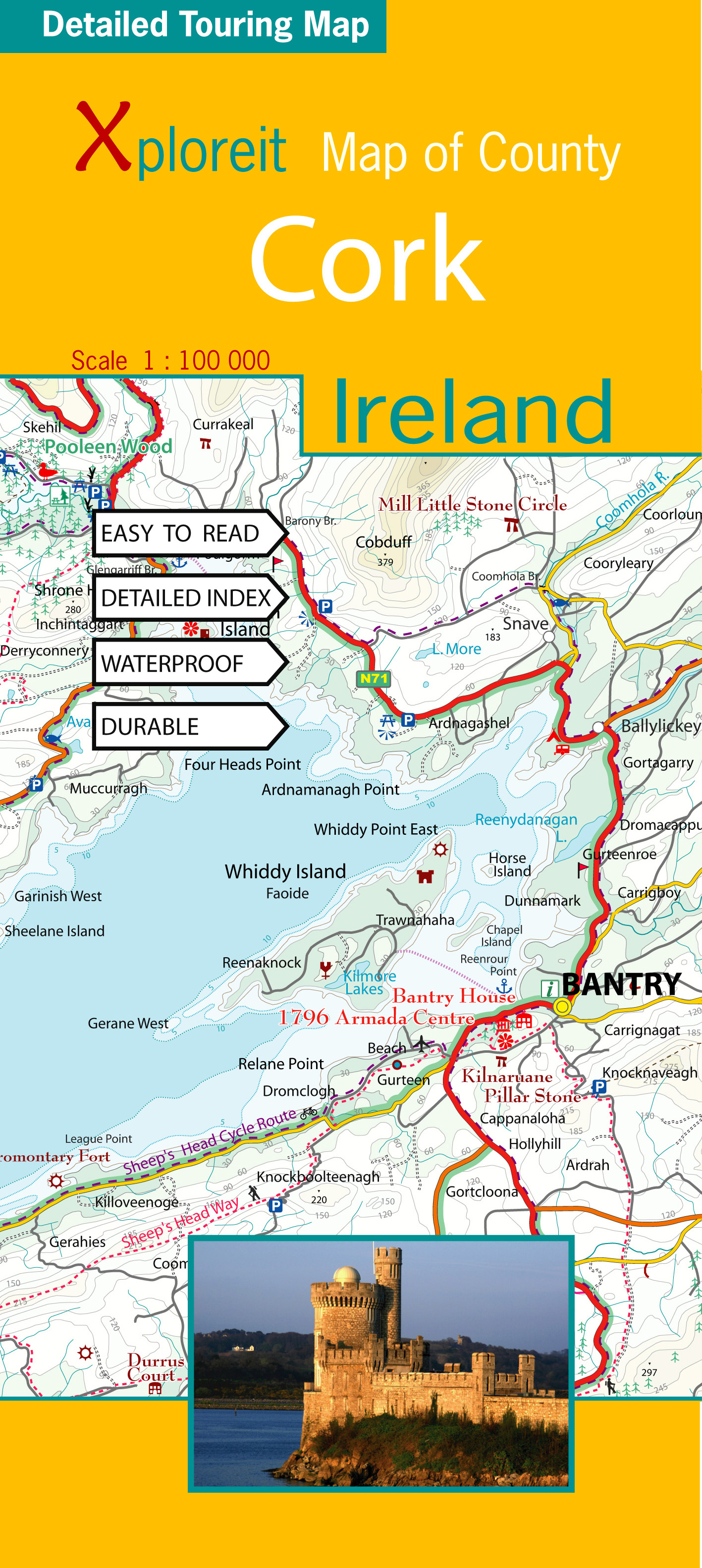
- Wegenkaart - landkaart - Fietskaart Cork (Ierland) | Xploreit Maps
- County Cork at 1:100,000 in a series of double-sided, GPS-compatible maps from Xploreit Maps, with contours, altitude colouring, hiking trails and cycling routes, and printed on light, waterproof and tear-resistant plastic paper.Topography is shown by altitude colouring with contours (interval varies) and plenty of names of geographical... Read more
- Also available from:
- Stanfords, United Kingdom

Stanfords
United Kingdom
United Kingdom
- Cork County
- County Cork at 1:100,000 in a series of double-sided, GPS-compatible maps from Xploreit Maps, with contours, altitude colouring, hiking trails and cycling routes, and printed on light, waterproof and tear-resistant plastic paper.Topography is shown by altitude colouring with contours (interval varies) and plenty of names of geographical... Read more
De Zwerver
Netherlands
Netherlands
De Zwerver
Netherlands
Netherlands
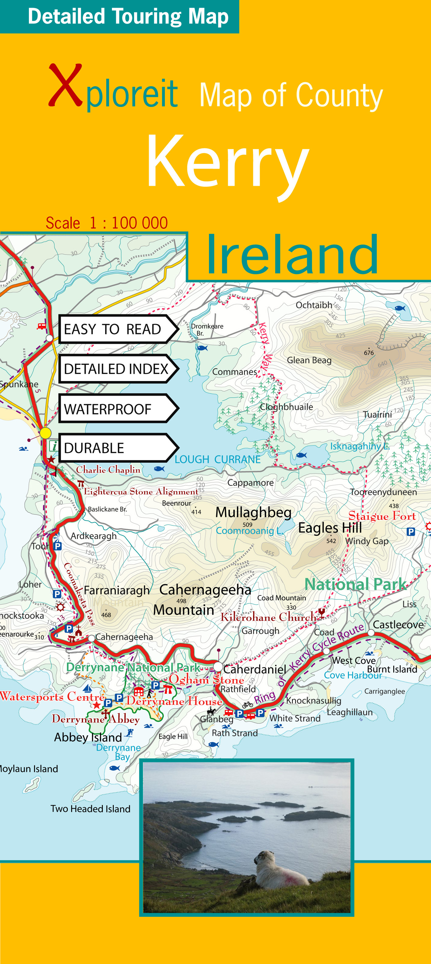
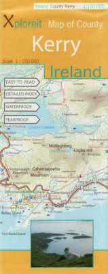
- Wegenkaart - landkaart - Fietskaart Kerry (Ierland) | Xploreit Maps
- County Kerry at 1:100,000 in a series of double-sided, GPS-compatible maps from Xploreit Maps, with contours, altitude colouring, hiking trails and cycling routes, and printed on light, waterproof and tear-resistant plastic paper.Topography is shown by altitude colouring with contours (interval varies) and plenty of names of geographical... Read more
- Also available from:
- Stanfords, United Kingdom
Stanfords
United Kingdom
United Kingdom
- Kerry County
- County Kerry at 1:100,000 in a series of double-sided, GPS-compatible maps from Xploreit Maps, with contours, altitude colouring, hiking trails and cycling routes, and printed on light, waterproof and tear-resistant plastic paper.Topography is shown by altitude colouring with contours (interval varies) and plenty of names of geographical... Read more

De Zwerver
Netherlands
Netherlands
- Wandelkaart 6 Pirin gebergte | Domino
- Pirin Mountains at 1:50,000 on a large, double-sided, contoured map with GPS waypoints for shelters and chalets, peaks, etc. and highlighting hiking routes. Topography is shown by contours at 40m intervals with additional relief shading and graphics and colouring for sandstone stacks, single rocks over 5m high, marshlands and different types of... Read more
- Also available from:
- Stanfords, United Kingdom

Stanfords
United Kingdom
United Kingdom
- Pirin Mountains Domino
- Pirin Mountains at 1:50,000 on a large, double-sided, contoured map with GPS waypoints for shelters and chalets, peaks, etc. and highlighting hiking routes. Topography is shown by contours at 40m intervals with additional relief shading and graphics and colouring for sandstone stacks, single rocks over 5m high, marshlands and different types of... Read more
De Zwerver
Netherlands
Netherlands
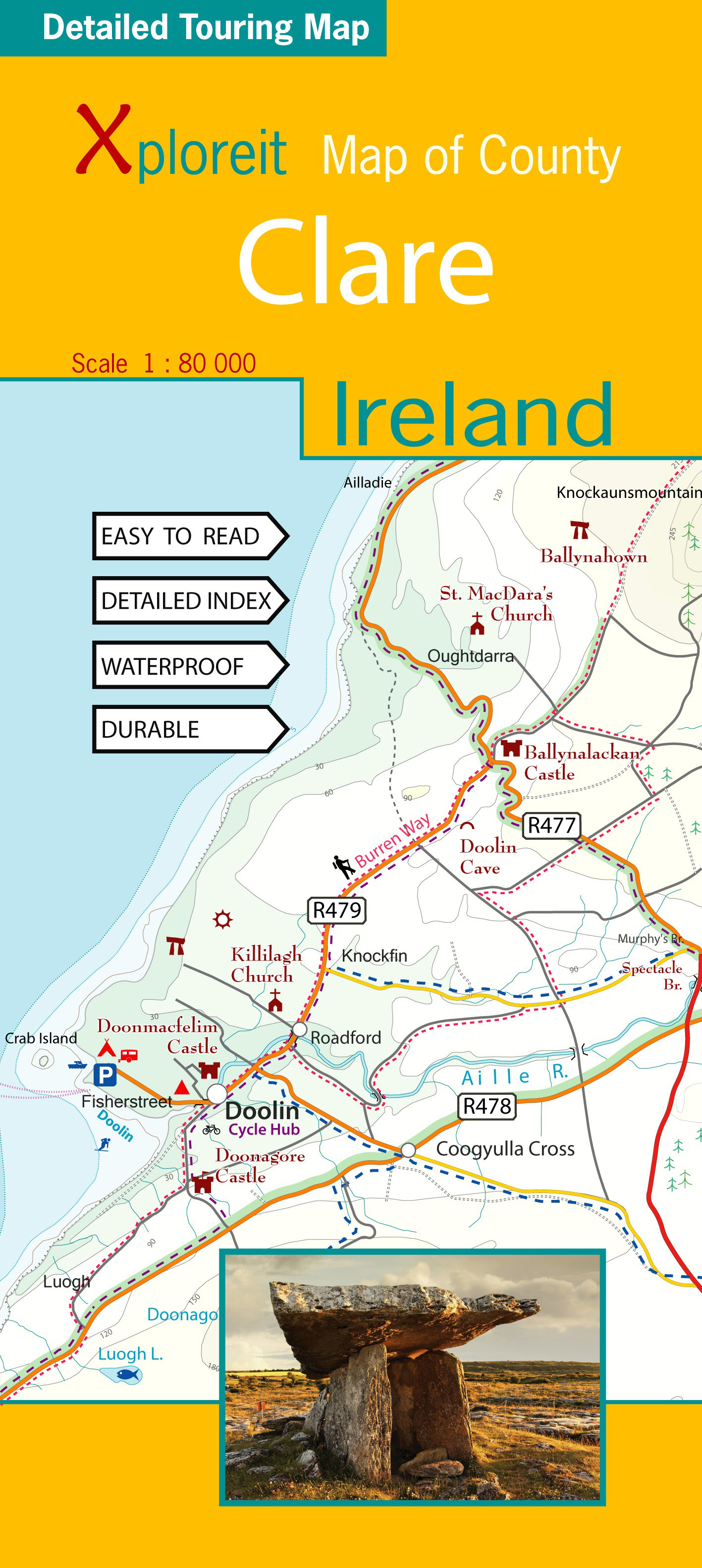
- Wegenkaart - landkaart - Fietskaart Clare (Ierland) | Xploreit Maps
- Xploreit Map of County Clare, Ireland ab 14.99 EURO 2 Rev ed Read more