
Nordrhein-Westfalen
Beschreibung
Wanderwege Landesteil
- Ahr-Venn-WegGPX
- AhrtalwegGPX
- Bückebergweg
- BurgensteigGPX
- Christine Kochweg GPX
- E1GPX
- E11GPX
- E8GPX
- Eder HöhenwegGPX
- EggewegGPX
- EhmsenwegGPX
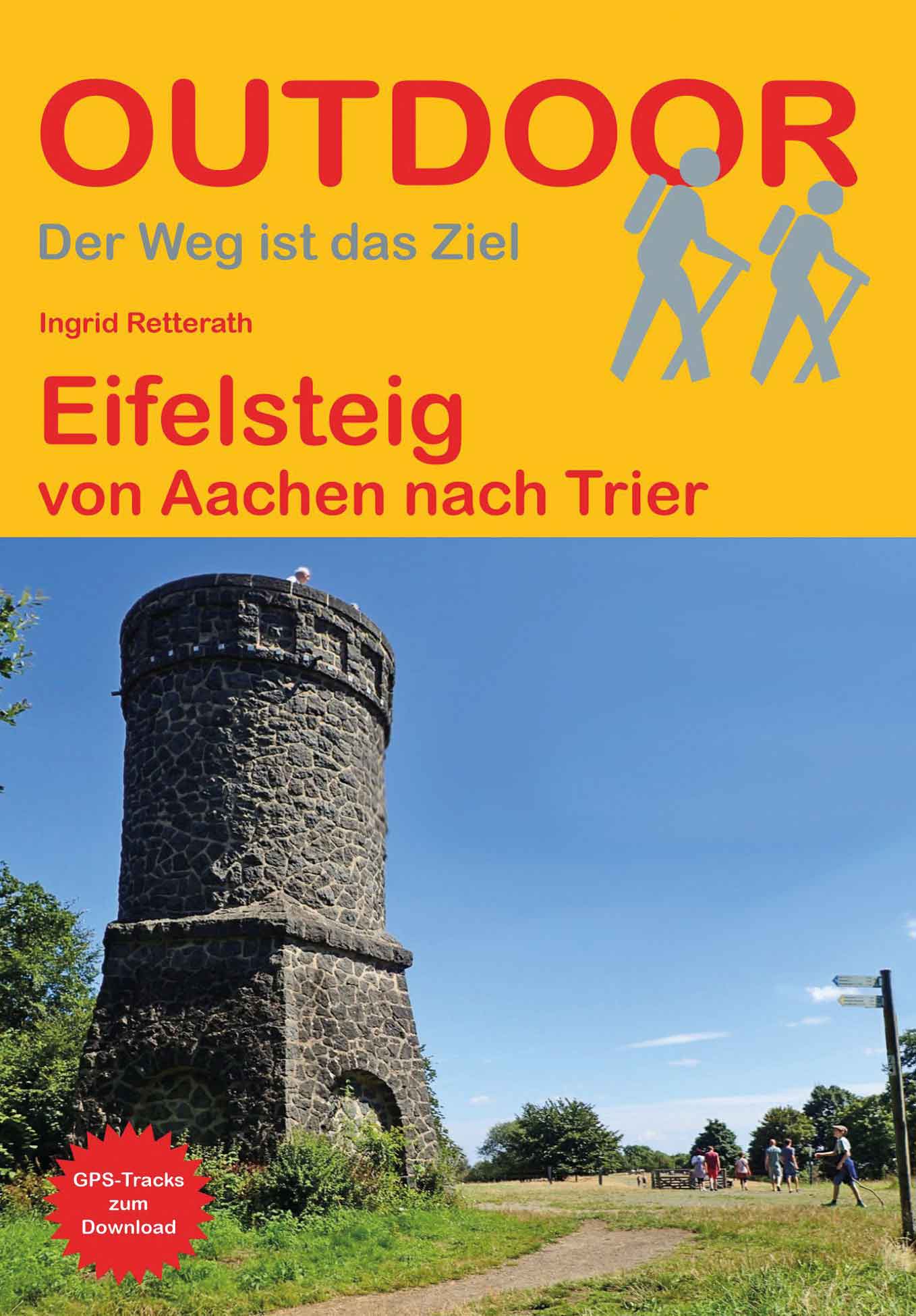
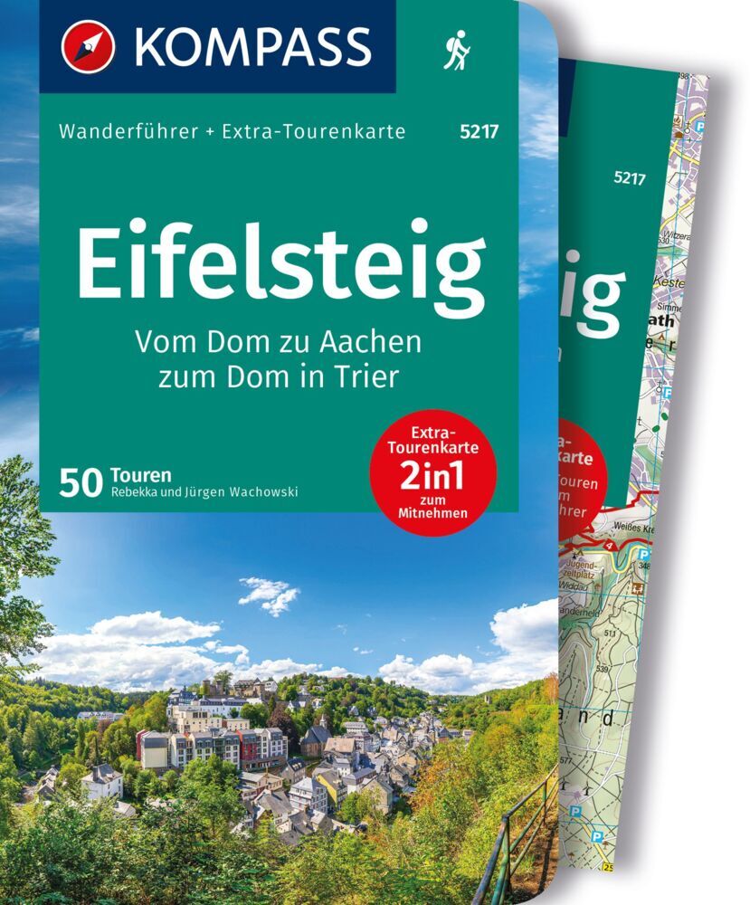
- EifelsteigGPX
- ElisabethpfadGPX
- EmmerwegGPX
- Ems-Hase-Hunte-ElsewegGPX
- EmswegGPX
- Erft-Lieser-Mosel-Weg GPX
- GR15 - AE - Ardennes-EifelGPX
- Graf EngelbertwegGPX
- HansawegGPX
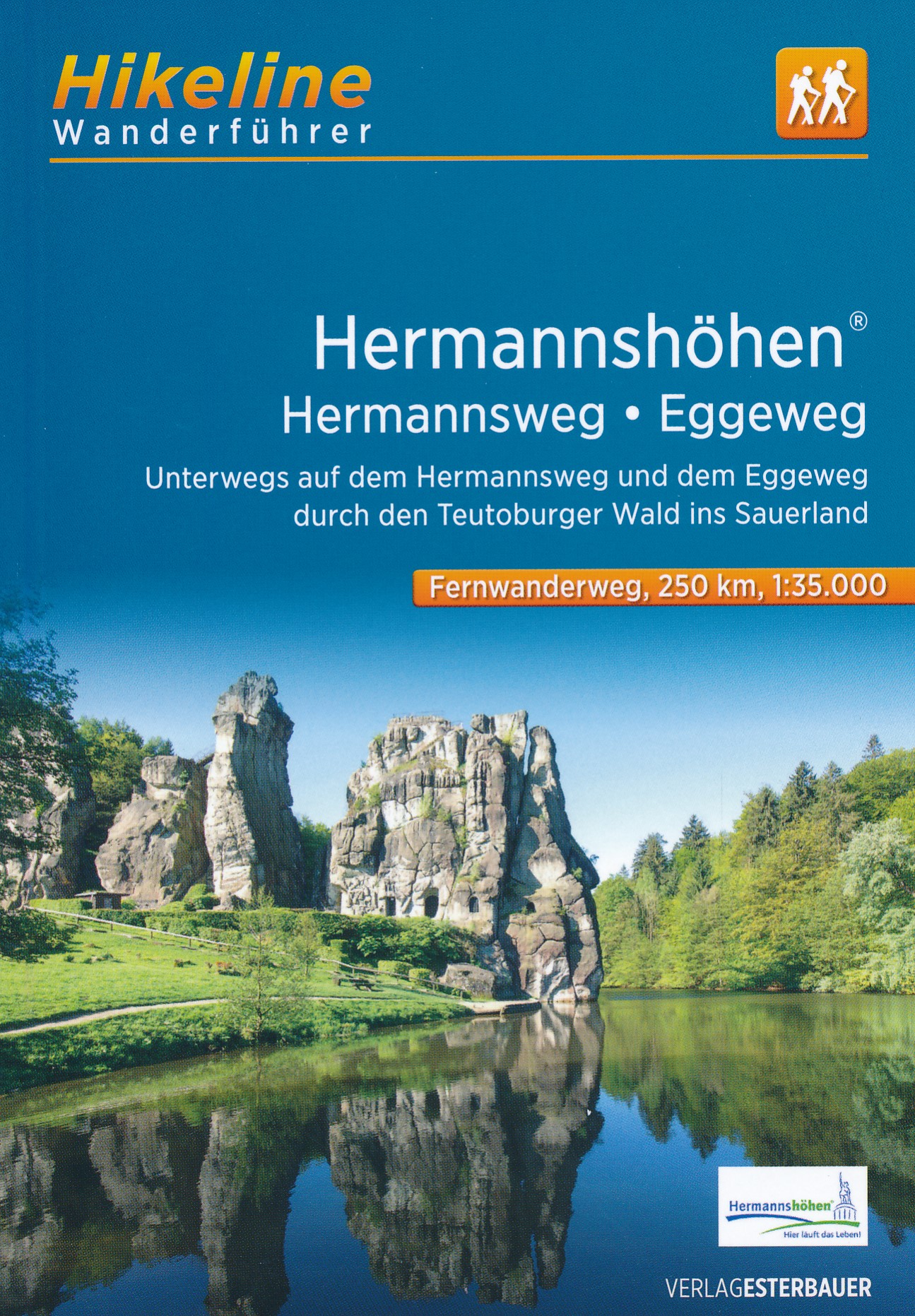
- HermannshöhenGPX
- HermannswegGPX
- Hessenweg 2GPX
- Hessenweg 4GPX
- Hessenweg 6GPX
- Jacobspad LimburgGPX
- Josef-Schramm-Weg GPX
- Kaiser OttowegGPX
- Karl-Kaufmann-WegGPX
- KarolingerwegGPX
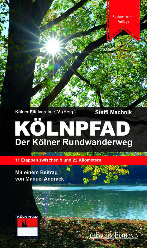
- KölnpfadGPX
- KrönungswegGPX
- LahnhöhenwegGPX
- LönspfadGPX
- Maas-NiederrheinpadGPX
- MarskramerpadGPX
- MatthiaswegGPX
- MühlensteigGPX
- MühlenwegGPX
- Medebacher BergwegGPX
- MoselhöhenwegGPX
- MoselsteigGPX
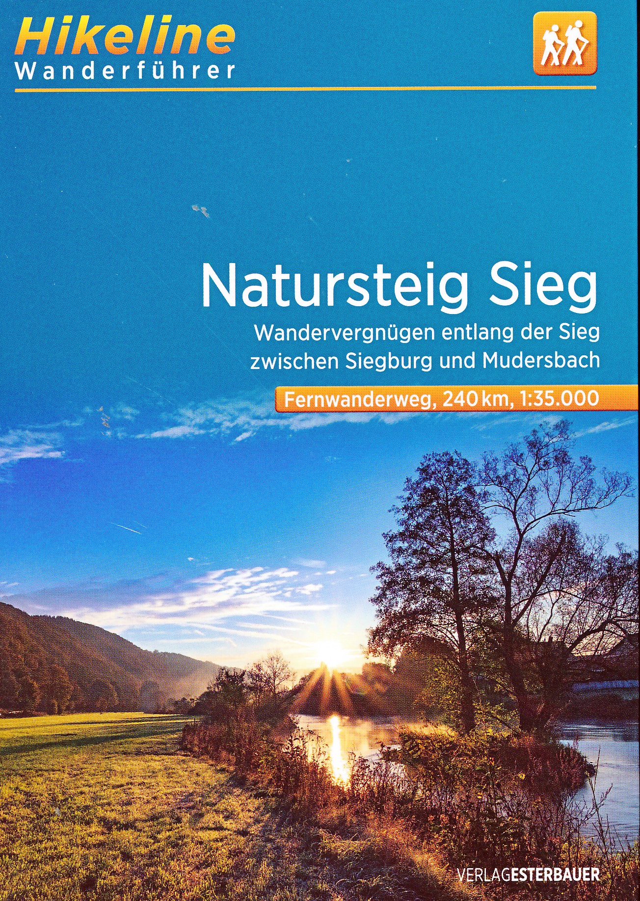
- Natursteig SiegGPX
- NiederrheinwegGPX
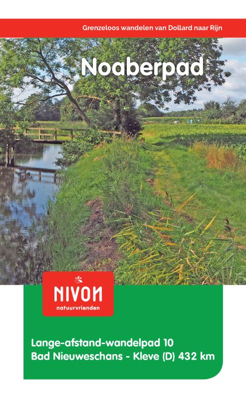
- NoaberpadGPX
- Oude IJssel-Rijnpad
- PlackwegGPX
- Römerkanal WanderwegGPX
- RennwegGPX
- Rhein-Kyll-WegGPX
- Rhein-Rureifel-Weg GPX
- RheinhöhenwegGPX
- RheinsteigGPX
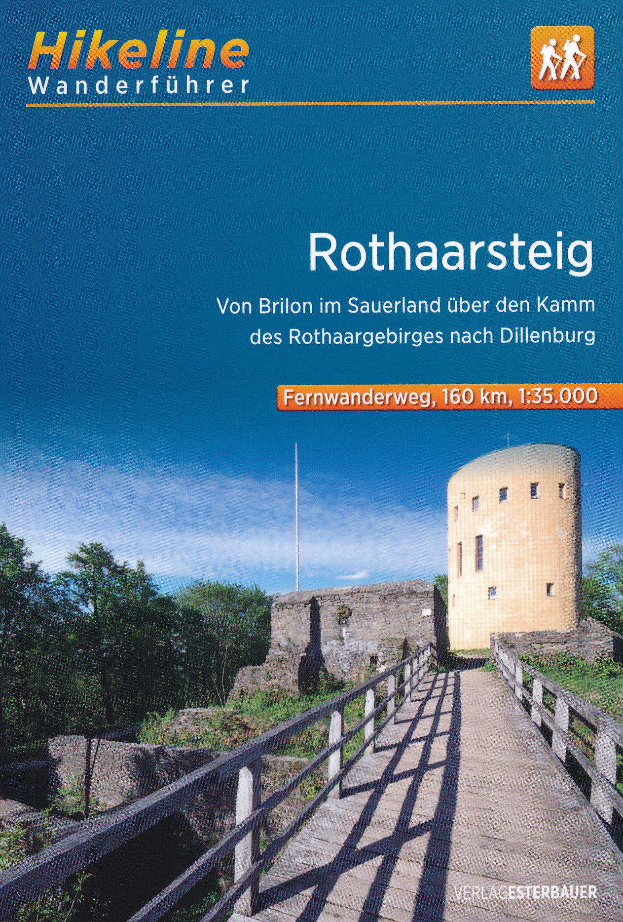
- RothaarsteigGPX
- RothaarwegGPX
- Ruhr HöhenwegGPX
- RunenwegGPX
- Sauerland WaldrouteGPX
- Siegerland HöhenringGPX
- Sintfeld HöhenwegGPX
- TalsperrenwegGPX
- TöddenwegGPX
- VulkanwegGPX
- Wanderweg der Deutschen EinheitGPX
- WeserberglandwegGPX
- WesergebirgswegGPX
- Westfalen WanderwegGPX
- Wildnis TrailGPX
- WillibrorduswegGPX
- Winterberger HochtourGPX
- WupperwegGPX
Links
Fakten
Berichte
Führer und Karten
Übernachtung
Organisationen
Reisebüros
GPS
Sonstiges
Bücher
- Also available from:
- De Zwerver, Netherlands

De Zwerver
Netherlands
2022
Netherlands
2022

- Also available from:
- De Zwerver, Netherlands
De Zwerver
Netherlands
2018
Netherlands
2018
- Wandelgids 10 LAW Noaberpad | Nivon
- Routegids met gedetailleerde topografische kaarten waar de route duidelijk op ingetekend is. Daarnaast alle noodzakelijke informatie als openbaar vervoer en overnachtingsadressen. Traject : Nieuweschans-Kleef, lengte : 432 km Het Noaberpad is vernieuwd. Met dit pad loopt u door de mooiste gebieden van Nederland en Duitsland. U maakt al... Read more
De Zwerver
Netherlands
2021
Netherlands
2021
De Zwerver
Netherlands
2018
Netherlands
2018
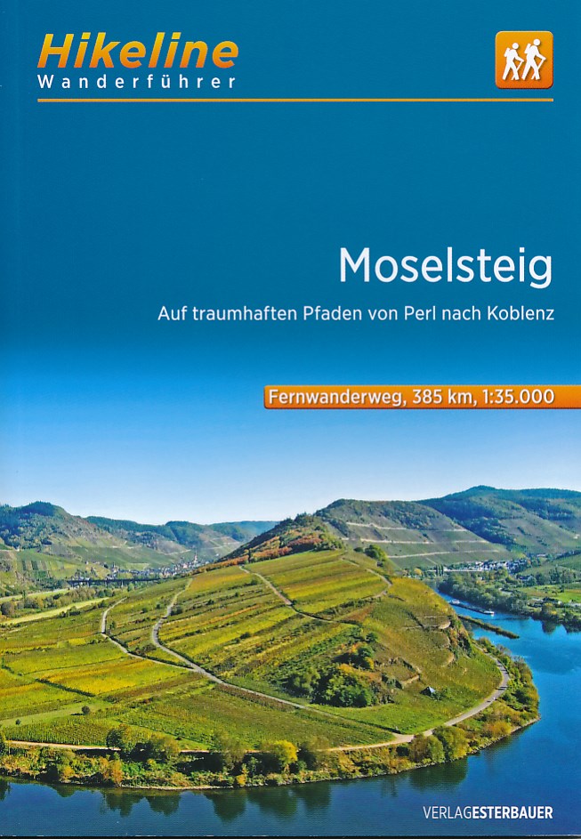
- Wandelgids Hikeline Moselsteig | Esterbauer
- Auf traumhaften Pfaden von Perl nach Koblenz, 365 km. 1. Auflage. Read more
De Zwerver
Netherlands
2021
Netherlands
2021
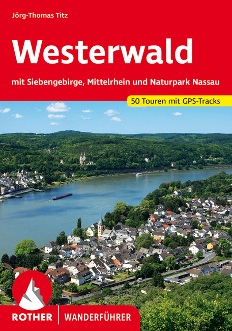
- Wandelgids 228 Westerwald | Rother Bergverlag
- Uitstekende wandelgids met een groot aantal dagtochten in dal en hooggebergte. Met praktische informatie en beperkt kaartmateriaal! Wandelingen in verschillende zwaarte weergegeven in rood/blauw/zwart. Der Westerwald ist eine uralte Vulkanlandschaft, die vor 25-30 Millionen Jahren geschaffen wurde – Basalt und Schiefer prägen vielerorts die... Read more
De Zwerver
Netherlands
2019
Netherlands
2019
De Zwerver
Netherlands
2013
Netherlands
2013
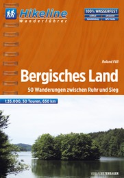
- Wandelgids Hikeline Bergisches Land | Esterbauer
- Handzame gids met een goede beschrijving van een groot aantal dagtochten in dit gebied. De gids is in spiraalbinding en elke pagina is op scheur- en watervast papier gedrukt. Daar is echt over nagedacht! Das Bergische Land Das Bergische Land ist ein nordwestlicher Ausläufer des Rheinischen Schiefergebirges. Es steigt terrassenartig vom Rheintal... Read more
De Zwerver
Netherlands
2022
Netherlands
2022
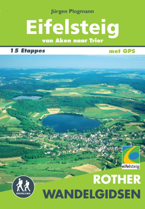
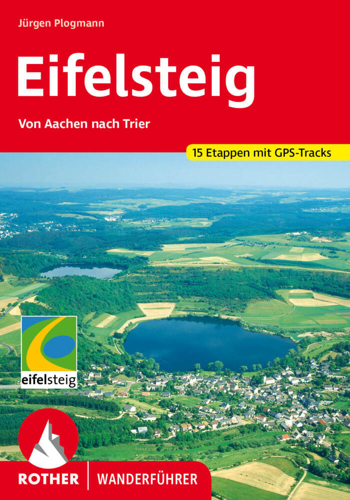
- Wandelgids Eifelsteig | Rother Bergverlag
- Goede gids met duidelijke kaarten en mooie foto's beschrijft de prachtige wandeltocht van Aachen, vlakbij het drielandenpunt, naar Trier in 15 etappes. De route voert langs prachtige rotsgebieden zoals de Gerolsteiner Dolomieten met watervallen. De Rother wandelgidsen beschrijven zeer goed de wandelingen in specifieke gebieden. In de gids... Read more
De Zwerver
Netherlands
2016
Netherlands
2016
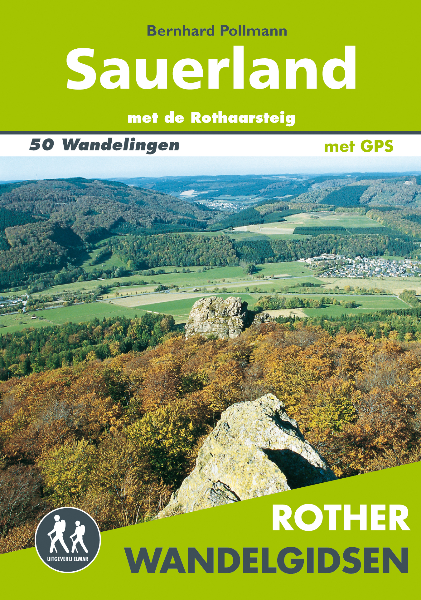
- Wandelgids Sauerland | Uitgeverij Elmar
- met de Rothaarsteig – 50 wandelingen Read more
De Zwerver
Netherlands
2021
Netherlands
2021
Weitere Bücher…
Karten

- Also available from:
- De Zwerver, Netherlands
De Zwerver
Netherlands
Netherlands
De Zwerver
Netherlands
Netherlands

De Zwerver
Netherlands
Netherlands
- Wandelkaart Sredna Gora - Bulgarije | Domino
- Pirin Mountains at 1:50,000 on a large, double-sided, contoured map with GPS waypoints for shelters and chalets, peaks, etc. and highlighting hiking routes. Topography is shown by contours at 40m intervals with additional relief shading and graphics and colouring for sandstone stacks, single rocks over 5m high, marshlands and different types of... Read more
De Zwerver
Netherlands
2023
Netherlands
2023
De Zwerver
Netherlands
Netherlands
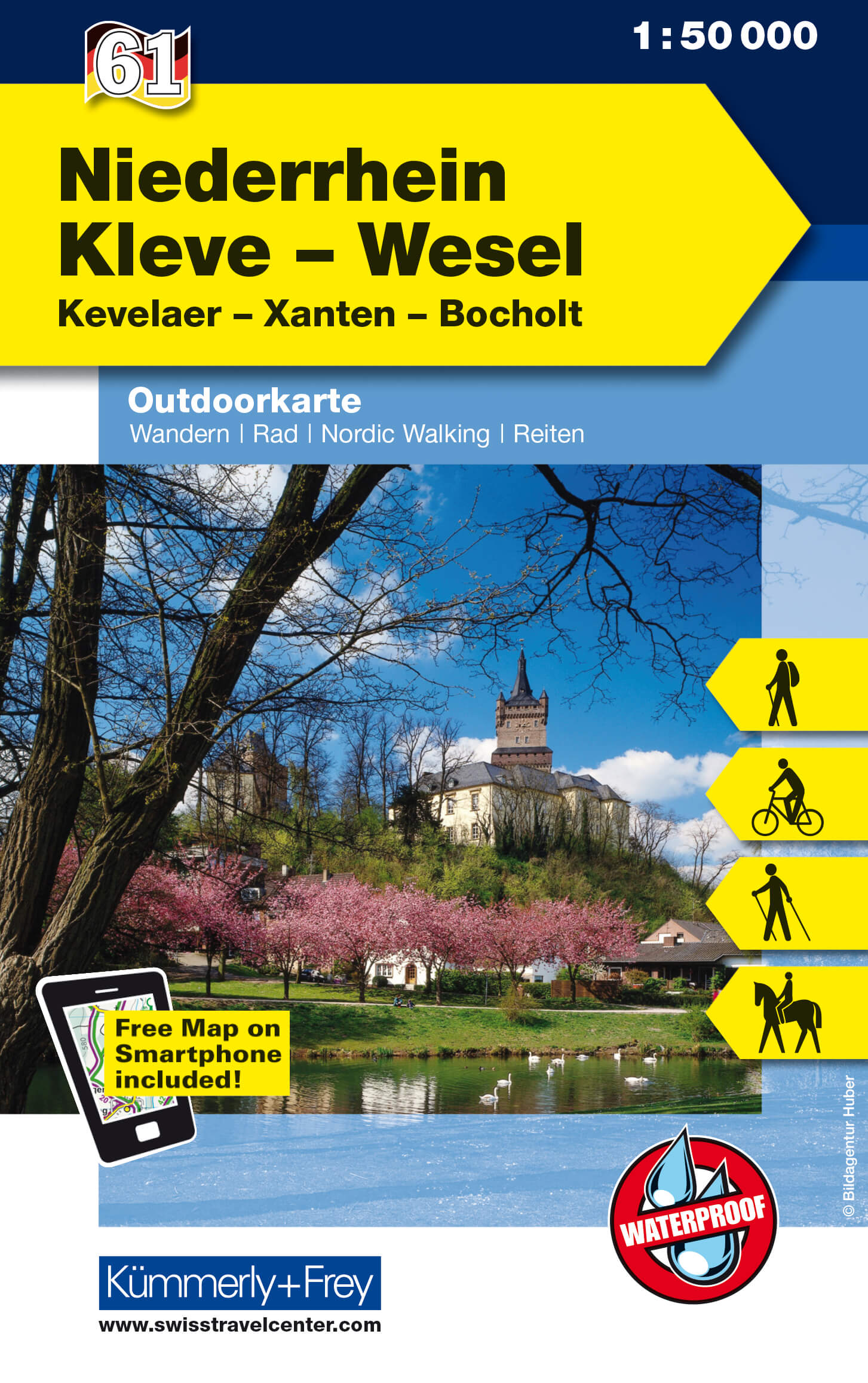
- Wandelkaart 61 Outdoorkarte Niederrhein, Kleve - Wesel | Kümmerly & Frey
- Lower Rhine - Kleve - Wesel area in western Germany at 1:50,000 from Kümmerly+Frey in a series GPS compatible, double-sided maps printed on durable, waterproof and tear-resistant plastic paper; contoured, with hiking and cycle routes, other recreational activities, etc.Maps in this series are at a scale of either 1:50,000 or 1:35,000. Contour... Read more
- Also available from:
- Stanfords, United Kingdom

Stanfords
United Kingdom
United Kingdom
- Lower Rhine - Kleve - Wesel - Xanten K+F Outdoor Map 61
- Lower Rhine - Kleve - Wesel area in western Germany at 1:50,000 from Kümmerly+Frey in a series GPS compatible, double-sided maps printed on durable, waterproof and tear-resistant plastic paper; contoured, with hiking and cycle routes, other recreational activities, etc.Maps in this series are at a scale of either 1:50,000 or 1:35,000. Contour... Read more
De Zwerver
Netherlands
Netherlands
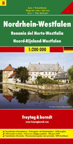
- Wegenkaart - landkaart 08 Nordrhein Westfalen | Freytag & Berndt
- Deutschland 08 Nordrhein-Westfalen 1 : 200 000 ab 10.9 EURO Auto und Freizeitkarte. Ortsregister mit Postleitzahlen Deutschland Freytag & Berndt Autokarte. Neuauflage, Laufzeit bis 2019 Read more

De Zwerver
Netherlands
2016
Netherlands
2016
- Wandelkaart Der Hermannsweg von Rheine bis zur Velmerstot (Leopoldstal) | Probst
- Duidelijke wandelkaart voor de hele route. Ingetekend met symbolen kan fout lopen nauwelijks gebeuren. Diese beliebte Wanderkarte zum Hermannweg im Teutoburger Wald zeichnet sich vor allem durch die praktische Leporello-Faltung aus, so dass eine besonders benutzerfreundliche Handhabung gewährleistet ist. Die Grundlage für die... Read more

De Zwerver
Netherlands
Netherlands
- Wandelkaart 2 Stara Planina gebergte | Domino
- Stara Planina Central: Uzana to Vratnik map at 1:50,000 from Bulgarian publishers Domino, contoured and GPS compatible, with hiking trails, accommodation options including a list of local mountain refuges, etc. The map is double-sided and covers the mountains from just west of the Uzana massif, the geographical centre of Bulgaria, eastwards to... Read more
- Also available from:
- Stanfords, United Kingdom

Stanfords
United Kingdom
United Kingdom
- Stara Planina Central: Uzana to Vratnik Domino Map
- Stara Planina Central: Uzana to Vratnik map at 1:50,000 from Bulgarian publishers Domino, contoured and GPS compatible, with hiking trails, accommodation options including a list of local mountain refuges, etc. The map is double-sided and covers the mountains from just west of the Uzana massif, the geographical centre of Bulgaria, eastwards to... Read more

De Zwerver
Netherlands
Netherlands
- Wandelkaart 3 Stara Planina gebergte | Domino
- Stara Planina Western: Belogradchik to Berkovita map at 1:50,000 from Bulgarian publishers Domino, contoured and GPS compatible, with hiking trails, accommodation options including a list of local mountain refuges, etc. The map is double-sided and covers the mountains from the peak of Byala Voda near Belogradchik eastwards to just beyond... Read more
- Also available from:
- Stanfords, United Kingdom

Stanfords
United Kingdom
United Kingdom
- Stara Planina Western: Belogradchik to Berkovita Domino Map
- Stara Planina Western: Belogradchik to Berkovita map at 1:50,000 from Bulgarian publishers Domino, contoured and GPS compatible, with hiking trails, accommodation options including a list of local mountain refuges, etc. The map is double-sided and covers the mountains from the peak of Byala Voda near Belogradchik eastwards to just beyond... Read more
De Zwerver
Netherlands
Netherlands