
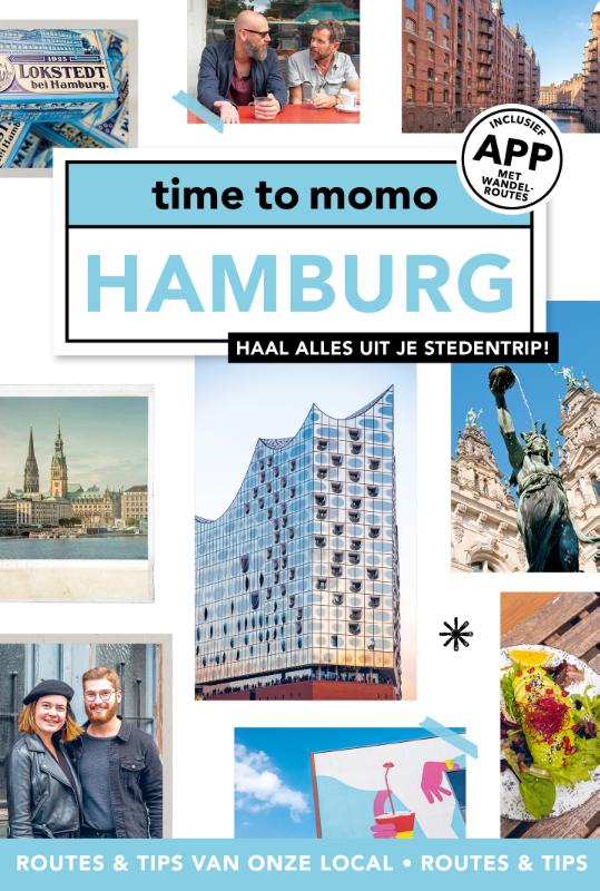
Hamburg
Beschreibung
Wanderwege Landesteil
Links
Fakten
Berichte
Führer und Karten
Übernachtung
Organisationen
Reisebüros
GPS
Sonstiges
Bücher

- Also available from:
- De Zwerver, Netherlands

De Zwerver
Netherlands
2021
Netherlands
2021
- Wandelgids Rund um Hamburg | Rother Bergverlag
- Uitstekende wandelgids met een groot aantal dagtochten in dal en hooggebergte. Met praktische informatie en beperkt kaartmateriaal! Wandelingen in verschillende zwaarte weergegeven in rood/blauw/zwart. 50 Wanderungen in Hamburgs Umland, nicht nur für Wochenendausflügler Das Umland Hamburgs ist von einer beeindruckenden landschaftlichen Vielfalt... Read more


De Zwerver
Netherlands
2011
Netherlands
2011
- Reisgids Kunstreiseführer Peloponnes | Dumont
- Epochenschwerpunkte der Peloponnes sind das 2. Jahrtausend v. Chr. mit seiner faszinierenden, von Heinrich Schliemann wiederentdeckten prähistorischen Kultur der Mykener, der archaisch-klassischen griechischen Kunst vom 6. bis zum 4. Jh. v. Chr. und schließlich der späten Blüte der byzantinischen Kultur im 11. und 12. Jahrhundert. Der Autor... Read more
De Zwerver
Netherlands
2011
Netherlands
2011
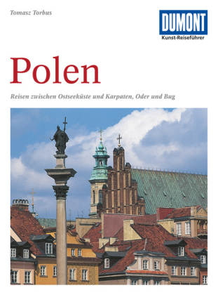
- Reisgids Kunstreiseführer Polen | Dumont
- Nur wenige Kilometer von Berlin entfernt beginnt Polen, der große, unbekannte Nachbar Deutschlands, mit dem ihn eine wechselvolle Geschichte verbindet. In der geographischen Mitte Europas gelegen, befand sich das Land seit einem Jahrtausend an der Schnittstelle europäischer Kultur, sodass sich hier eine erstaunliche Vielfalt kultureller... Read more


De Zwerver
Netherlands
2017
Netherlands
2017
- Wandelgids 411 Kautokeino - Nordkap E1 | Conrad Stein Verlag
- Handzaam boekje met de routebeschrijving inclusief een heleboel praktische informatie. De beschrijving is uitstekend, maar kaarten zijn wat beperkt. Duits. Die 330 km lange Wanderung auf dem E1 von Kautokeino zum Nordkap ist ein unvergessliches Wanderabenteuer. In 15 Etappen laufen Sie durch die Wildnis Nordnorwegens und überqueren die... Read more
Weitere Bücher…

Karten
De Zwerver
Netherlands
Netherlands

De Zwerver
Netherlands
2018
Netherlands
2018
De Zwerver
Netherlands
2022
Netherlands
2022
De Zwerver
Netherlands
2020
Netherlands
2020
- Also available from:
- Stanfords, United Kingdom

Stanfords
United Kingdom
2020
United Kingdom
2020
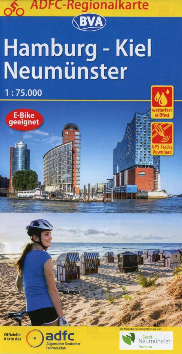
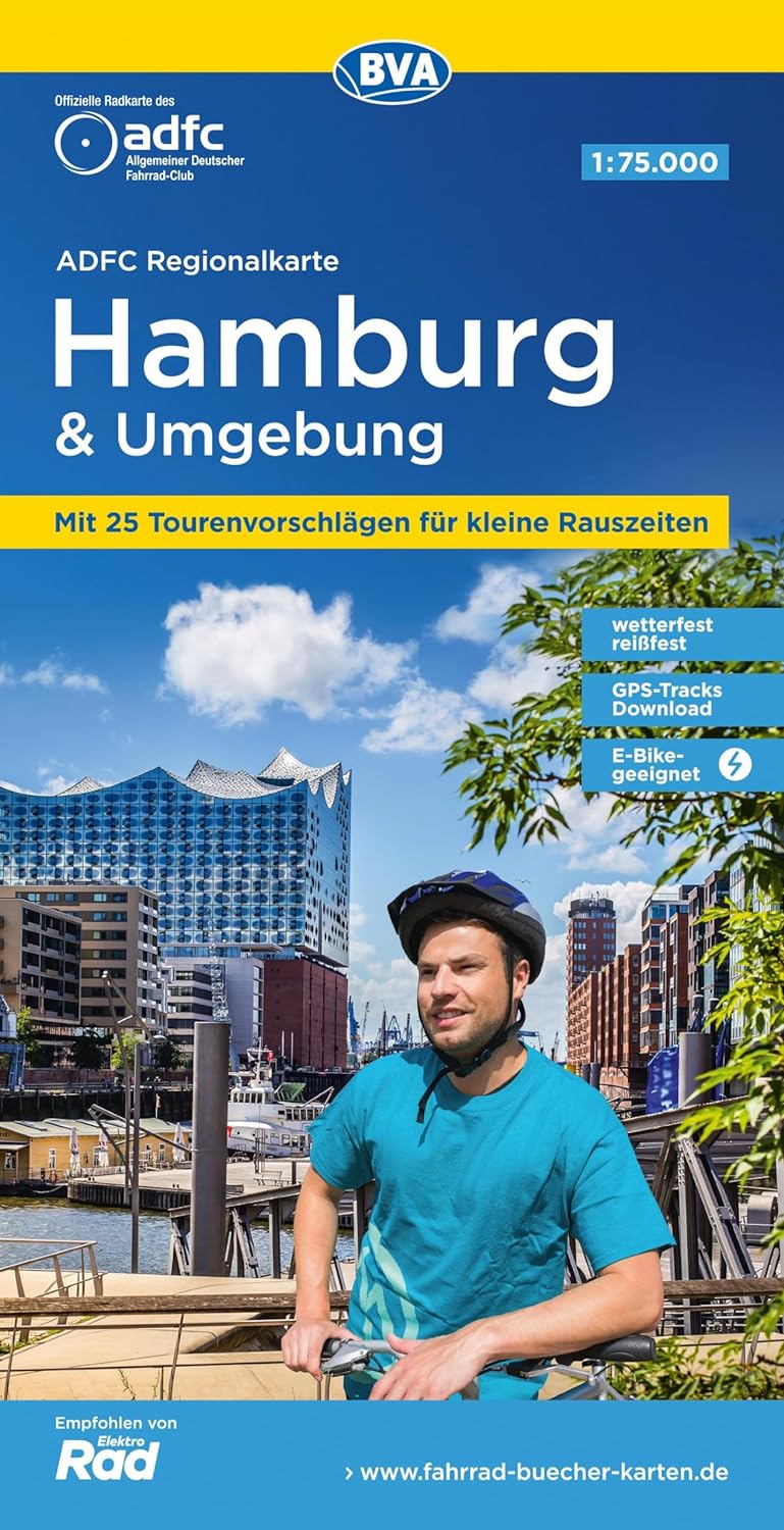
- Hamburg - Neumünster - Kiel Cycling Map
- Hamburg and Surrounding Area on a waterproof, tear-resistant, GPS compatible cycling map at 1:75,000 from the ADFC (Allgemeiner Deutscher Fahrrad-Club - the official German cycling federation), in a series of maps with extensive overprint for long-distance and local cycling routes. GPS waypoints, route profiles, details of online links for... Read more
- Also available from:
- Stanfords, United Kingdom

Stanfords
United Kingdom
United Kingdom
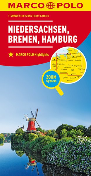
- Lower Saxony - Bremen - Hamburg Marco Polo Regional Map 3
- German state of Lower Saxony (Niedersachsen) with Hamburg and Bremen on a double-sided, indexed road map at 1:200,000 in the MairDumont’s Marco Polo series, prominently highlighting interesting locations and protected areas. The map divides the region east/west with a generous overlap between the sides. A 143-page index booklet includes city... Read more
De Zwerver
Netherlands
2024
Netherlands
2024

De Zwerver
Netherlands
Netherlands
- Wandelkaart 63 Eggegebirge (Nordteil) mit Eggeweg, E1, Jakobspilgerweg | GeoMap
- Topographische Wanderkarte für den nördlichen Teil des Eggegebirges mit Eggeweg, E1, Jakobspilgerweg. 4. Auflage. Read more
De Zwerver
Netherlands
Netherlands
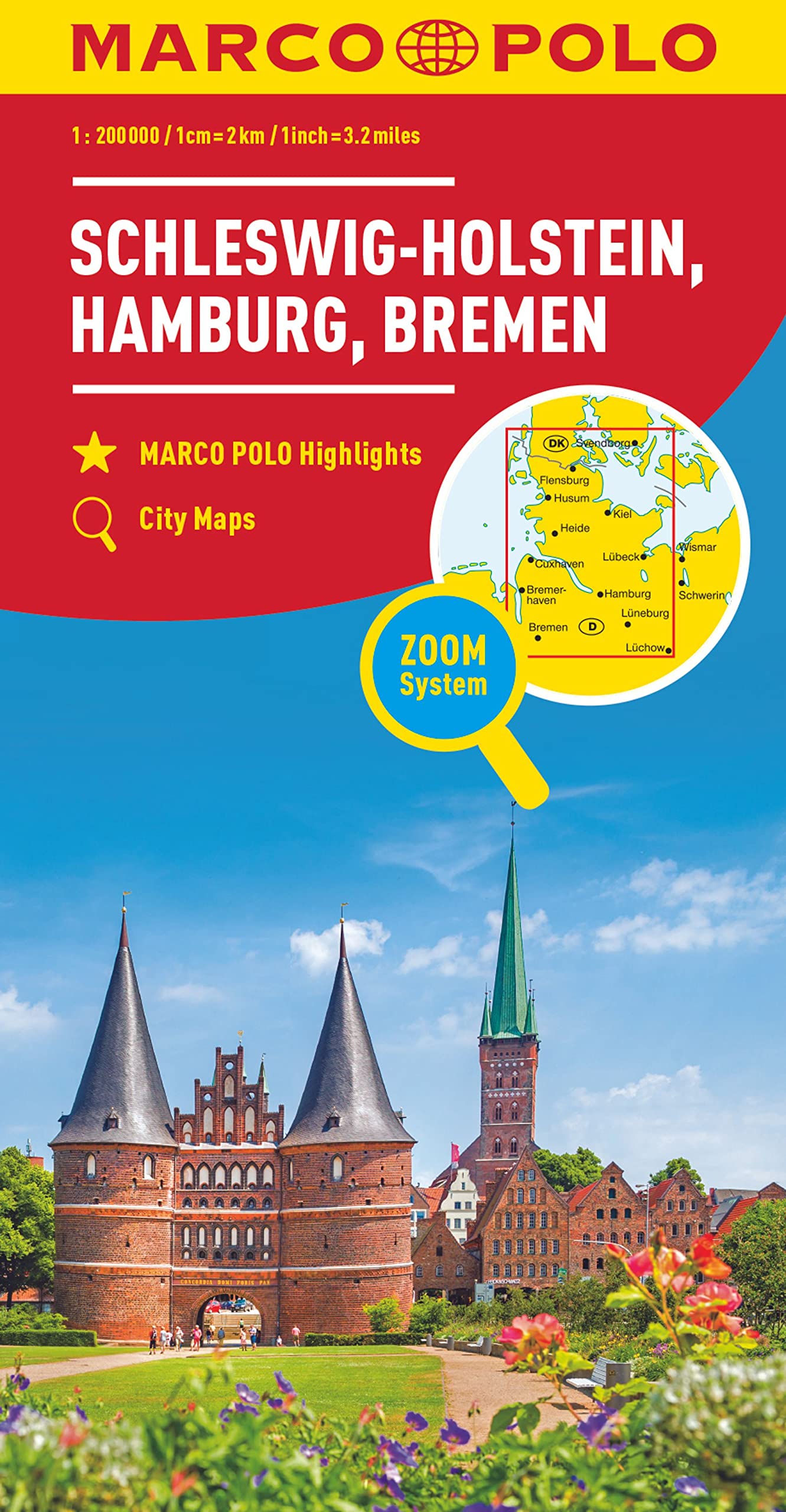
- Wegenkaart - landkaart D1 Schleswig - Holstein Hamburg Bremen | Marco Polo
- Schleswig-Holstein and north western Germany with Hamburg and Bremen on an indexed road map at 1:200,000 in the MairDumont’s Marco Polo series, prominently highlighting interesting locations and protected areas. A 95-page index booklet includes city centre street plans plus enlargements at 1:100,000 showing in greater detail the environs and... Read more
- Also available from:
- Stanfords, United Kingdom

Stanfords
United Kingdom
United Kingdom
- Schleswig-Holstein - Hamburg - Bremen Marco Polo Regional Map 1
- Schleswig-Holstein and north western Germany with Hamburg and Bremen on an indexed road map at 1:200,000 in the MairDumont’s Marco Polo series, prominently highlighting interesting locations and protected areas. A 95-page index booklet includes city centre street plans plus enlargements at 1:100,000 showing in greater detail the environs and... Read more
De Zwerver
Netherlands
Netherlands
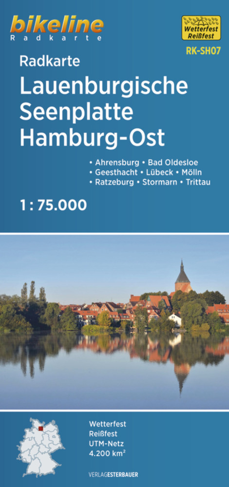
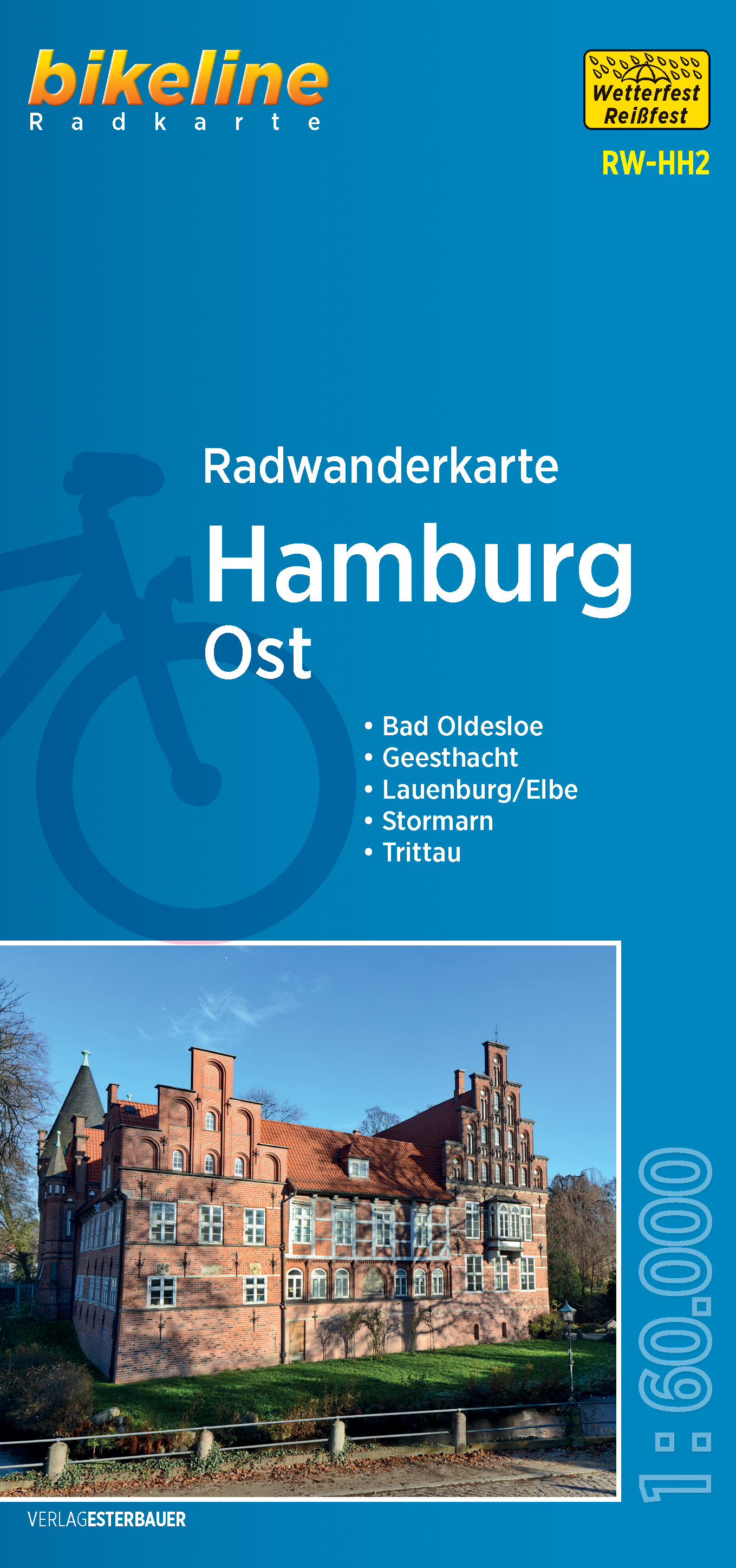
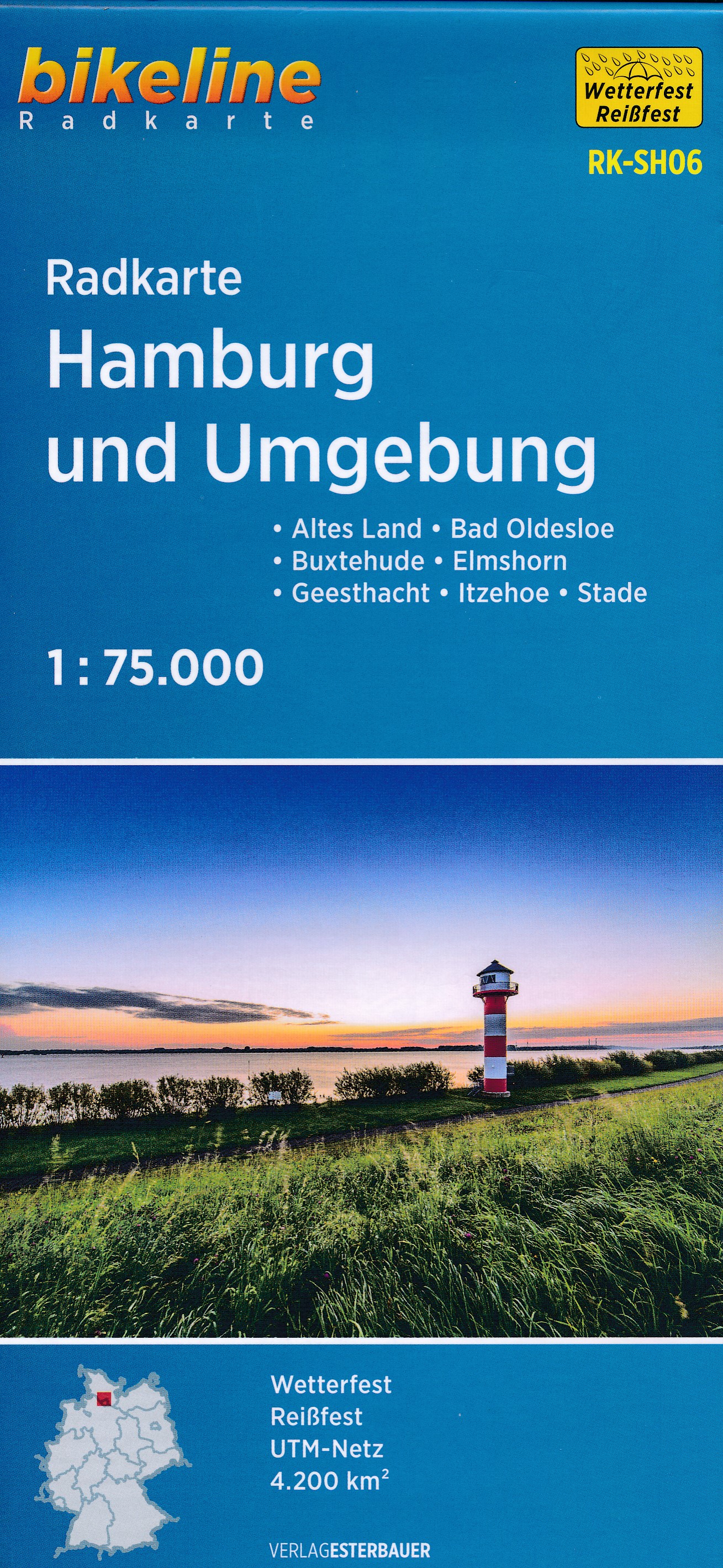
- Fietskaart SH06 Bikeline Radkarte Hamburg und umgebung | Esterbauer
- Bikeline Radkarte Hamburg und Umgebung (SH06) 1 : 75 000 ab 6.9 EURO Bad Oldesloe - Buxtehude - Elmshorn - Geesthacht - Itzehoe - Stade - Altes Land - Holsteiner Auenland - Elberadweg Schleswig-Holstein Bikeline Radkarte. 1. Auflage Read more
De Zwerver
Netherlands
2022
Netherlands
2022
De Zwerver
Netherlands
Netherlands
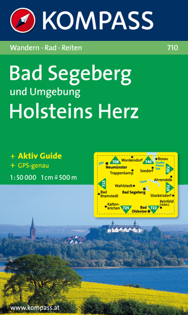
- Wandelkaart 710 Bad Segeberg - Holsteins Herz | Kompass
- Goede wandelkaart met vrijwel alle topografische details en ingetekende routes. Ook met symbolen voor toeristische bezienswaardigheden, register. Berghutten duidelijk weergegeven. Gevaarlijke wandelroutes zijn goed herkenbaar. GPS toepasbaar. KOMPASS-Wanderkarten enthalten alles Wissenswerte für Wanderer wie aktuelle Wanderwege mit... Read more
De Zwerver
Netherlands
Netherlands
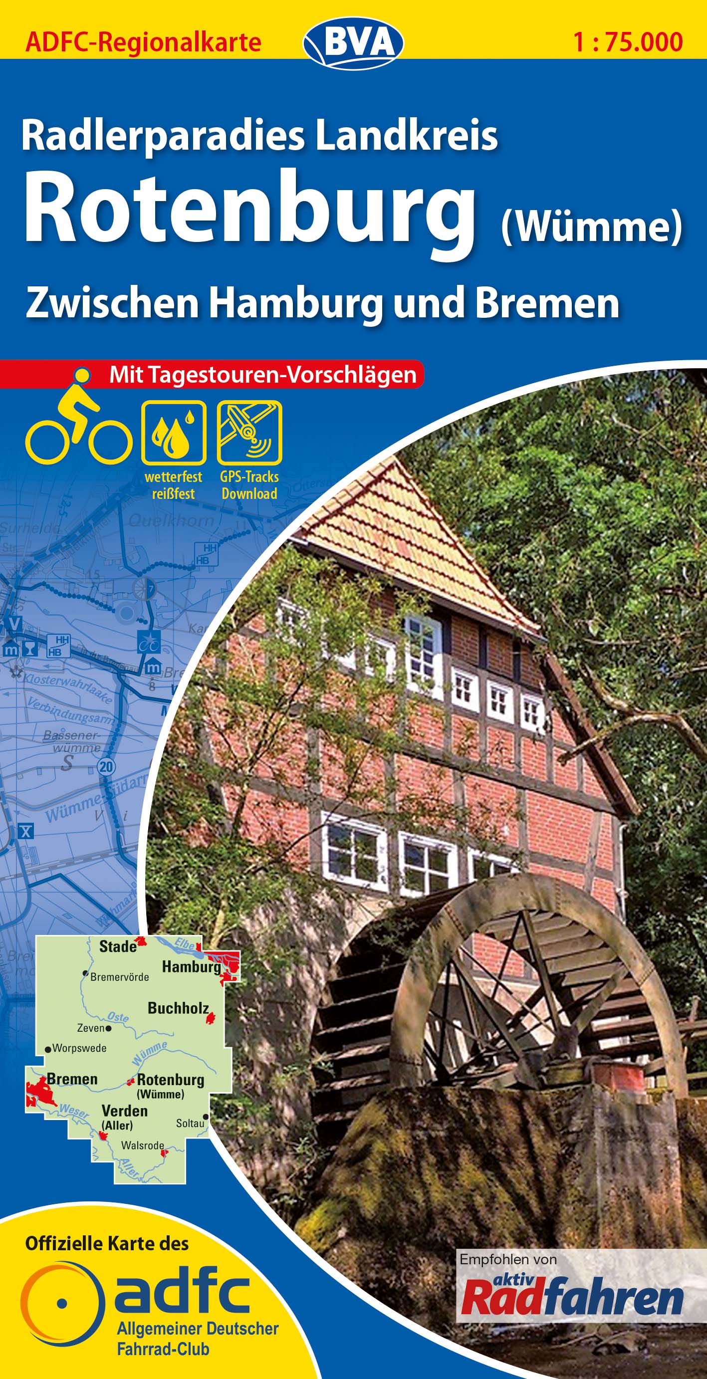
- Fietskaart ADFC Regionalkarte Rotenburg (Wümme) | BVA BikeMedia
- Potsdam - Havelland on a waterproof, tear-resistant, GPS compatible cycling map at 1:75,000 from the ADFC (Allgemeiner Deutscher Fahrrad-Club - the official German cycling federation), in a series of maps with extensive overprint for long-distance and local cycling routes. GPS waypoints, route profiles, details of online links for information... Read more
- Also available from:
- Stanfords, United Kingdom
Stanfords
United Kingdom
United Kingdom
- Rotenburg - Wumme Cyclers Paradise
- Potsdam - Havelland on a waterproof, tear-resistant, GPS compatible cycling map at 1:75,000 from the ADFC (Allgemeiner Deutscher Fahrrad-Club - the official German cycling federation), in a series of maps with extensive overprint for long-distance and local cycling routes. GPS waypoints, route profiles, details of online links for information... Read more
De Zwerver
Netherlands
Netherlands
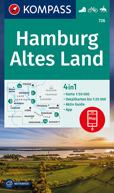
- Wandelkaart 726 Hamburg - Altes Land | Kompass
- Hamburg and the Elbe Estuary area of northern Germany on a detailed, GPS compatible map at 1:50,000 from Kompass with local and long-distance footpaths, cycling routes, accommodation, etc, printed on durable, waterproof and tear-resistant synthetic paper.KOMPASS HIKING & RECREATIONAL MAPS: this title is part of an extensive series covering... Read more
- Also available from:
- Stanfords, United Kingdom

Stanfords
United Kingdom
United Kingdom
- Hamburg - Altes Land Kompass 726
- Hamburg and the Elbe Estuary area of northern Germany on a detailed, GPS compatible map at 1:50,000 from Kompass with local and long-distance footpaths, cycling routes, accommodation, etc, printed on durable, waterproof and tear-resistant synthetic paper.KOMPASS HIKING & RECREATIONAL MAPS: this title is part of an extensive series covering... Read more