
Baden-Württemberg
Beschreibung
Wanderwege Landesteil
- AlemannenwegGPX
- Badener Weg
- Bodensee RundwegGPX
- Breisgauer WeinwegGPX
- Burgenweg Bergstrasse
- Burgundenweg
- Donau-ZollernalbwegGPX
- DonauberglandwegGPX
- DreiländerwegGPX
- E1GPX
- E8GPX
- Frankenweg (Schwäbischer Albverein)GPX
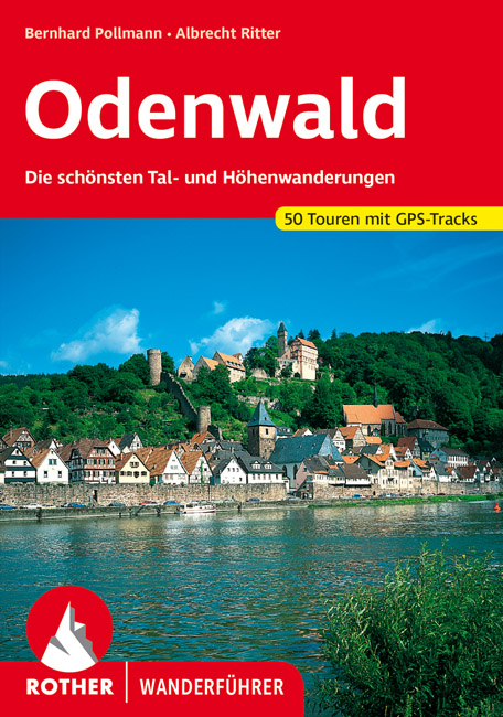
- Frankenweg Odenwald
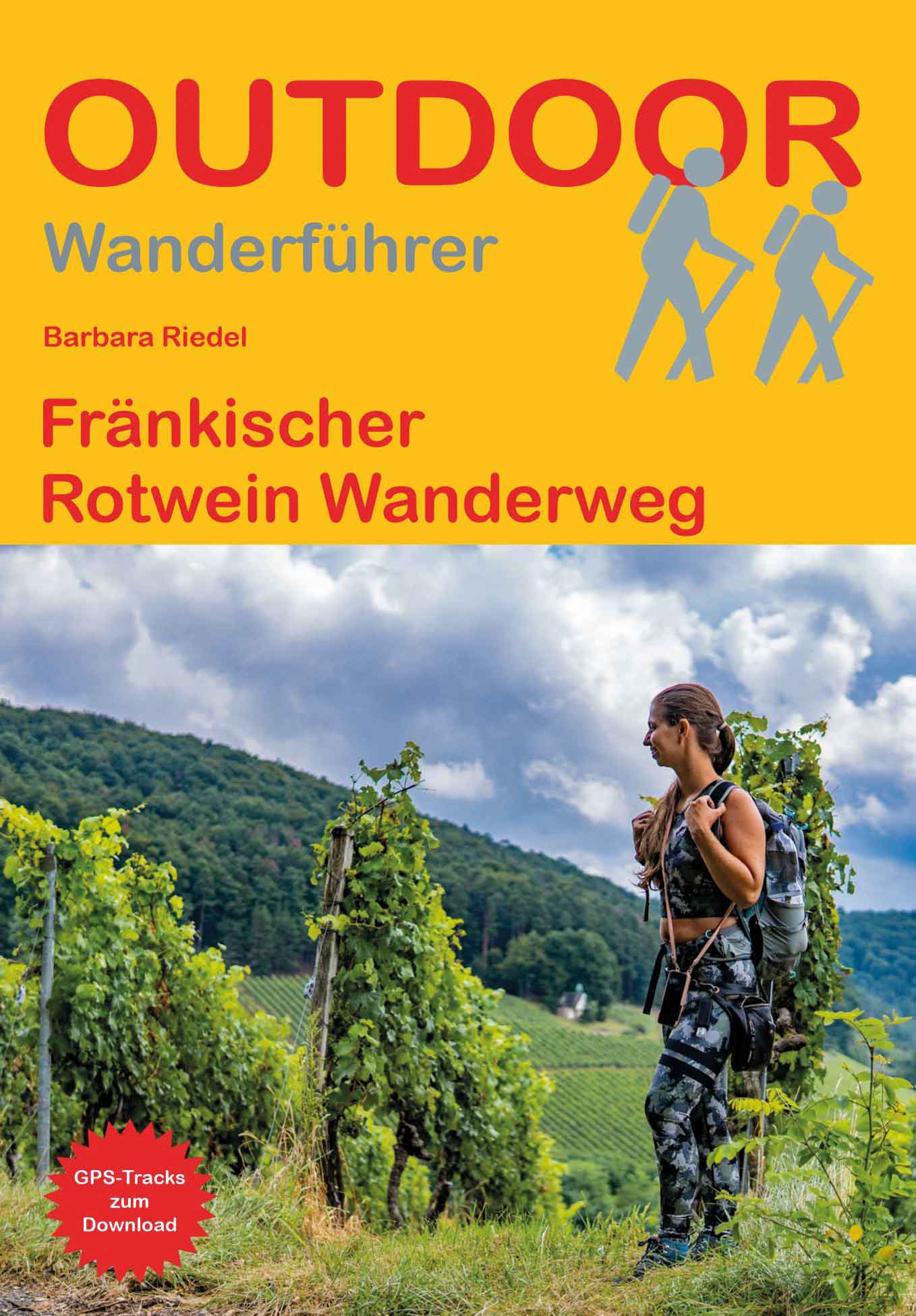
- Fränkischer Rotwein WanderwegGPX
- GäurandwegGPX
- Gernsbacher RundeGPX
- Hansjakobweg I (Kleiner Hansjakobweg)GPX
- Hansjakobweg II (Großer Hansjakobweg)GPX
- Heuberg-AllgäuwegGPX
- Hochrhein HöhenwegGPX
- Hotzenwald QuerwegGPX
- Jagtsteig
- Jakobsweg Breisach - Cluny
- Jakobsweg Waldshut-Vézelay
- Jubiläumsweg BodenseekreisGPX
- Kandel HöhenwegGPX
- Kocher Jagst Trail
- Limes WanderwegGPX
- Main-Donau-BodenseewegGPX
- Main-Neckar-RheinwegGPX
- Markgräfler Wiwegli
- MittelwegGPX
- MurgleiterGPX
- NibelungensteigGPX
- NibelungenwegGPX
- Ortenauer WeinpfadGPX
- OstwegGPX
- Panoramaweg Baden-BadenGPX
- Panoramaweg TaubertalGPX
- Querweg Freiburg-BodenseeGPX
- Querweg Gengenbach-Alpirsbach
- Querweg Lahr-RottweilGPX
- Querweg Schwarzwald-Kaiserstuhl-RheinGPX
- Remstal HöhenwegGPX
- RenchtalsteigGPX
- RheinauenwegGPX
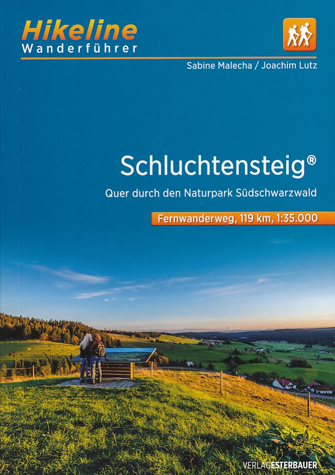
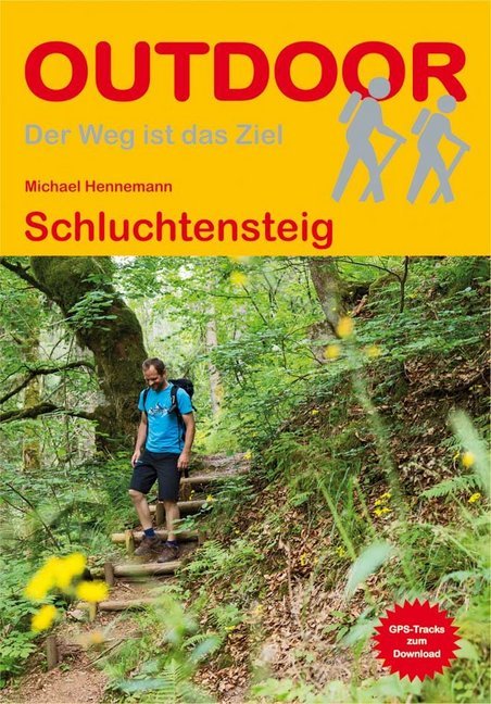
- SchluchtensteigGPX
- Schwarzwald Nordrand WegGPX
- Schwarzwald-Jura-Bodensee-WegGPX
- Schwarzwald-Schwäbische Alb-Allgäu-WegGPX
- Schwäbische Alb Hauptwanderweg 5
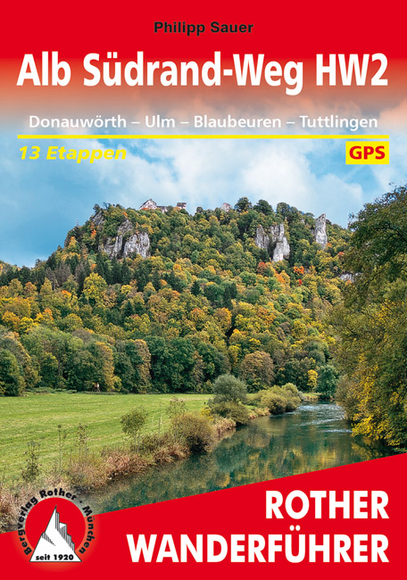
- Schwäbische Alb-Südrand-WegGPX
- Schwäbische-Alb-Nordrand-WegGPX
- Schwäbische-Alb-Oberschwaben-WegGPX
- SeensteigGPX
- Stromberg-Schwäbischer Waldweg
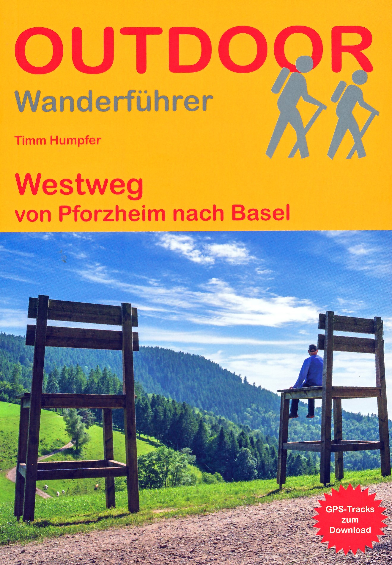
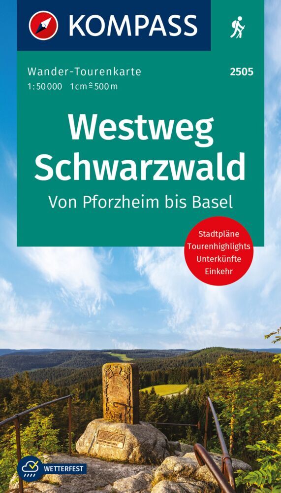
- WestwegGPX
- ZweitälersteigGPX
Links
Fakten
Berichte
Führer und Karten
Übernachtung
Organisationen
Reisebüros
GPS
Sonstiges
Bücher

The Book Depository
United Kingdom
United Kingdom
- Hiking and Cycling in the Black Forest
- Walks, treks and cycle rides in southern Germany Read more
- Also available from:
- Stanfords, United Kingdom

Stanfords
United Kingdom
United Kingdom
- Hiking and Cycling in the Black Forest: Walks, treks and cycle rides in southern Germany
- 15 day walks, 3 multi-stage treks and 5 cycle routes are described covering the north, central and southern areas of Germany`s Black Forest. The walks and cycle routes are evenly distributed across all three areas and comprise both long distance routes and day walks, although each stage of every long distance walk can also be done as individual... Read more

The Book Depository
United Kingdom
2019
United Kingdom
2019
- Also available from:
- De Zwerver, Netherlands


De Zwerver
Netherlands
2015
Netherlands
2015
- Wandelgids Nibelungensteig | Conrad Stein Verlag
- OutdoorHandbuch. 1. Auflage. Read more
De Zwerver
Netherlands
2022
Netherlands
2022
- Wandelgids Odenwald | Rother Bergverlag
- Uitstekende wandelgids met een groot aantal dagtochten in dal en hooggebergte. Met praktische informatie en beperkt kaartmateriaal! Wandelingen in verschillende zwaarte weergegeven in rood/blauw/zwart. Der Odenwald, der von der Bergstraße, dem Neckar und dem Main begrenzt wird, bietet einen reichen Schatz an Natur und Kultur. Neben den... Read more

De Zwerver
Netherlands
2017
Netherlands
2017
- Wandelgids 411 Kautokeino - Nordkap E1 | Conrad Stein Verlag
- Handzaam boekje met de routebeschrijving inclusief een heleboel praktische informatie. De beschrijving is uitstekend, maar kaarten zijn wat beperkt. Duits. Die 330 km lange Wanderung auf dem E1 von Kautokeino zum Nordkap ist ein unvergessliches Wanderabenteuer. In 15 Etappen laufen Sie durch die Wildnis Nordnorwegens und überqueren die... Read more

De Zwerver
Netherlands
2022
Netherlands
2022
De Zwerver
Netherlands
2013
Netherlands
2013
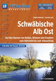
- Wandelgids Hikeline Schwäbische Alb Ost | Esterbauer
- Handzame gids met een goede beschrijving van een groot aantal dagtochten in dit gebied. De gids is in spiraalbinding en elke pagina is op scheur- en watervast papier gedrukt. Daar is echt over nagedacht! Die Schwäbische Alb Ost ist ein Landstrich voller Gegensätze: raues Klima im Winter und herrliche Sommer- und Herbsttage. Kleine Dörfer und... Read more
De Zwerver
Netherlands
2012
Netherlands
2012
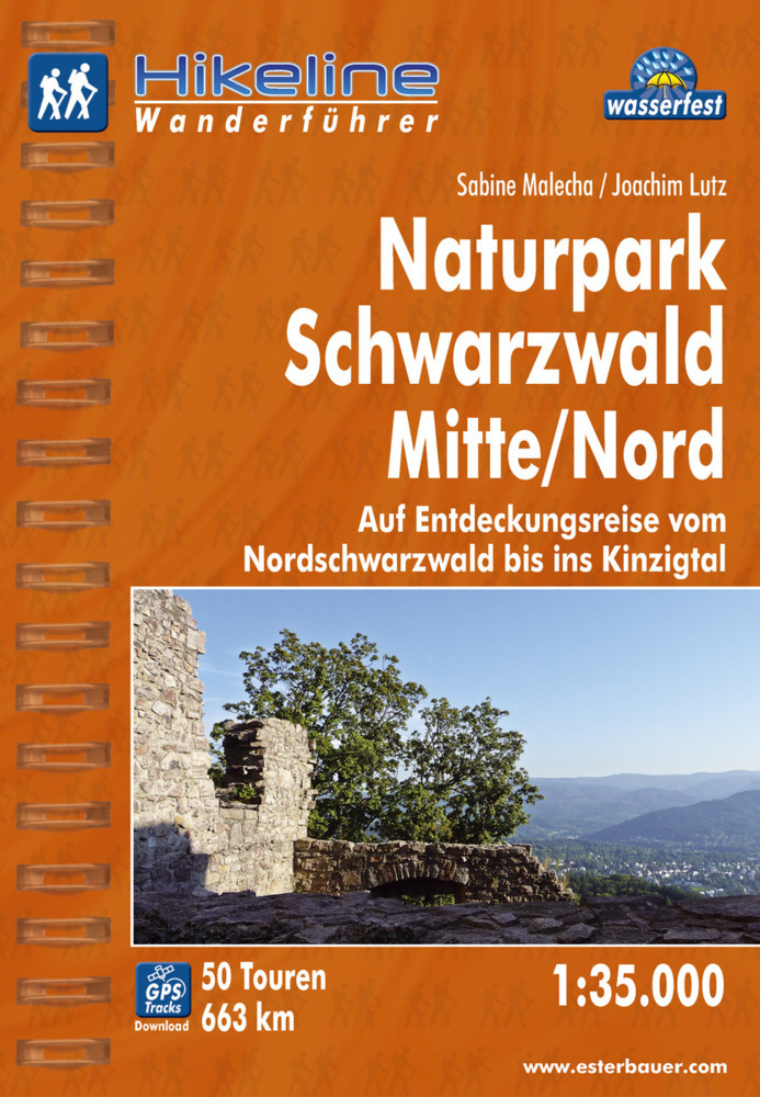
- Wandelgids Hikeline Wandelgids Naturpark Schwarzwald Mitte | Esterbauer
- Handzame gids met een goede beschrijving van een groot aantal dagtochten in dit gebied. De gids is in spiraalbinding en elke pagina is op scheur- en watervast papier gedrukt. Daar is echt over nagedacht! Neben den Wäldern zeichnen den Schwarzwald seine offenen Flächen, seine Wiesen und Weiden aus. So abwechslungsreich wie die Landschaft sind... Read more
Karten

De Zwerver
Netherlands
Netherlands
- Wandelkaart 4 Stara Planina gebergte | Domino
- Stara Planina Western: Berkovita to Zlatitsa map at 1:50,000 from Bulgarian publishers Domino, contoured and GPS compatible, with hiking trails, accommodation options including a list of local mountain refuges, etc. The map is double-sided and covers the mountains from Varshets (directly north of Sofia) to just beyond Etrepole.Maps in the... Read more
- Also available from:
- Stanfords, United Kingdom

Stanfords
United Kingdom
United Kingdom
- Stara Planina Western: Berkovita to Zlatitsa Domino Map
- Stara Planina Western: Berkovita to Zlatitsa map at 1:50,000 from Bulgarian publishers Domino, contoured and GPS compatible, with hiking trails, accommodation options including a list of local mountain refuges, etc. The map is double-sided and covers the mountains from Varshets (directly north of Sofia) to just beyond Etrepole.Maps in the... Read more

De Zwerver
Netherlands
Netherlands
- Wandelkaart 63 Eggegebirge (Nordteil) mit Eggeweg, E1, Jakobspilgerweg | GeoMap
- Topographische Wanderkarte für den nördlichen Teil des Eggegebirges mit Eggeweg, E1, Jakobspilgerweg. 4. Auflage. Read more

De Zwerver
Netherlands
Netherlands
- Wandelkaart Sredna Gora - Bulgarije | Domino
- Pirin Mountains at 1:50,000 on a large, double-sided, contoured map with GPS waypoints for shelters and chalets, peaks, etc. and highlighting hiking routes. Topography is shown by contours at 40m intervals with additional relief shading and graphics and colouring for sandstone stacks, single rocks over 5m high, marshlands and different types of... Read more

De Zwerver
Netherlands
Netherlands
- Wandelkaart 5 Rila gebergte | Domino
- Rila Mountains at 1:50,000 on a large, double-sided, contoured map with GPS waypoints for shelters and chalets, peaks, etc. and highlighting hiking routes. Topography is shown by contours at 50m intervals with additional relief shading and graphics and colouring for scree, single rocks over 5m high, marshlands and pine scrub and forests. An... Read more
- Also available from:
- Stanfords, United Kingdom

Stanfords
United Kingdom
United Kingdom
- Rila Mountains Domino
- Rila Mountains at 1:50,000 on a large, double-sided, contoured map with GPS waypoints for shelters and chalets, peaks, etc. and highlighting hiking routes. Topography is shown by contours at 50m intervals with additional relief shading and graphics and colouring for scree, single rocks over 5m high, marshlands and pine scrub and forests. An... Read more

De Zwerver
Netherlands
Netherlands
- Wegenkaart - landkaart 03 Baden-Württemberg | Freytag & Berndt
- Deutschland 03 Baden-Württemberg 1 : 200 000 ab 10.9 EURO Touristische Informationen, Ortsverzeichnis, Entfernungen in km. GPS tauglich Freytag & Berndt Autokarte Deutschland Freytag & Berndt Freizeitkarte. Neuauflage Read more

De Zwerver
Netherlands
Netherlands
- Wandelkaart 6 Pirin gebergte | Domino
- Pirin Mountains at 1:50,000 on a large, double-sided, contoured map with GPS waypoints for shelters and chalets, peaks, etc. and highlighting hiking routes. Topography is shown by contours at 40m intervals with additional relief shading and graphics and colouring for sandstone stacks, single rocks over 5m high, marshlands and different types of... Read more
- Also available from:
- Stanfords, United Kingdom

Stanfords
United Kingdom
United Kingdom
- Pirin Mountains Domino
- Pirin Mountains at 1:50,000 on a large, double-sided, contoured map with GPS waypoints for shelters and chalets, peaks, etc. and highlighting hiking routes. Topography is shown by contours at 40m intervals with additional relief shading and graphics and colouring for sandstone stacks, single rocks over 5m high, marshlands and different types of... Read more
De Zwerver
Netherlands
Netherlands
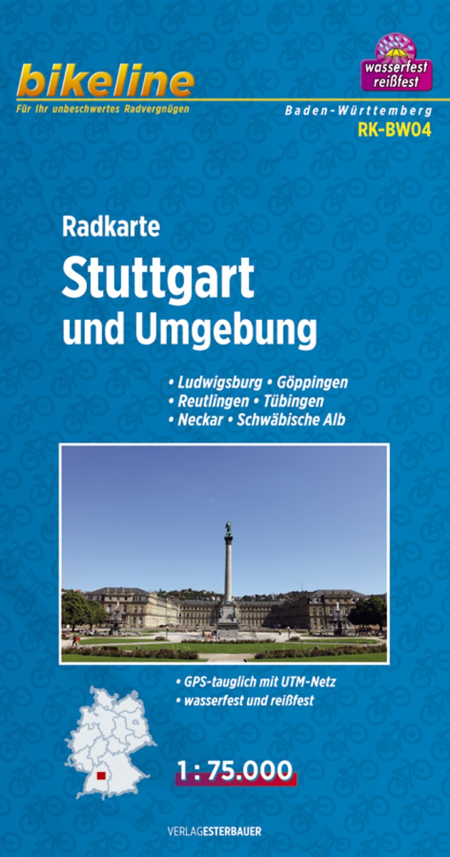
- Fietskaart BW04 Bikeline Radkarte Stuttgart und Umgebung | Esterbauer
- Bikeline Radkarte Deutschland Stuttgart und Umgebung 1 : 75 000 ab 6.9 EURO Ludwigsburg - Göppingen, Reutlingen - Tübingen, Neckar - Schwäbische Alb, GPS-tauglich mit UTM-Netz, wasserfest und reißfest Bikeline Radkarte Baden-Württemberg. 1. Auflage Read more

De Zwerver
Netherlands
Netherlands
- Wandelkaart - Wegenkaart - landkaart 7 Westelijke Rhodopen - Western Rhodopes | Domino
- Western Rhodope Mountains at 1:100,000 on a contoured GPS compatible map from Domino extending from just west of the Pirin National Park to Asenovgrad in the north-east. The map is double-sided with a good overlap between the sides. Topography is shown by contours at 50m intervals with relief shading and spot heights, plus colouring for... Read more
- Also available from:
- Stanfords, United Kingdom

Stanfords
United Kingdom
United Kingdom
- Western Rhodope Mountains Domino Map
- Western Rhodope Mountains at 1:100,000 on a contoured GPS compatible map from Domino extending from just west of the Pirin National Park to Asenovgrad in the north-east. The map is double-sided with a good overlap between the sides. Topography is shown by contours at 50m intervals with relief shading and spot heights, plus colouring for... Read more
De Zwerver
Netherlands
Netherlands
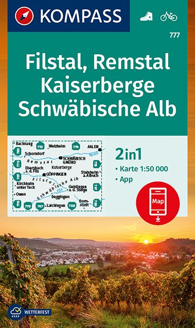
- Wandelkaart 777 Filstal - Remstal - Kaiserberge - Schwäbische Alb | Kompass
- Kaiserberge - Filstal - Schwabian Jura area of Baden-Württemberg on a detailed, GPS compatible map at 1:50,000 from Kompass with local and long-distance footpaths, cycling routes, accommodation, etc, printed on durable, waterproof and tear-resistant synthetic paper.KOMPASS HIKING & RECREATIONAL MAPS: this title is part of an extensive series... Read more
- Also available from:
- Stanfords, United Kingdom

Stanfords
United Kingdom
United Kingdom
- Filstal - Remstal - Kaiserberge - Schwäbische Alb Kompass 777
- Kaiserberge - Filstal - Schwabian Jura area of Baden-Württemberg on a detailed, GPS compatible map at 1:50,000 from Kompass with local and long-distance footpaths, cycling routes, accommodation, etc, printed on durable, waterproof and tear-resistant synthetic paper.KOMPASS HIKING & RECREATIONAL MAPS: this title is part of an extensive series... Read more

De Zwerver
Netherlands
Netherlands
- Wandelkaart 1 Stara Planina gebergte | Domino
- Stara Planina Central: Zlatitsa to Kalofer map at 1:50,000 from Bulgarian publishers Domino, contoured and GPS compatible, with hiking trails, accommodation options including a list of local mountain refuges, etc. The map is double-sided and covers the mountains from just west of Ribaritsa and Zlatitsa eastwards beyond Kalofer to the peak of... Read more
- Also available from:
- Stanfords, United Kingdom

Stanfords
United Kingdom
United Kingdom
- Stara Planina Central: Zlatitsa to Kalofer Domino Map
- Stara Planina Central: Zlatitsa to Kalofer map at 1:50,000 from Bulgarian publishers Domino, contoured and GPS compatible, with hiking trails, accommodation options including a list of local mountain refuges, etc. The map is double-sided and covers the mountains from just west of Ribaritsa and Zlatitsa eastwards beyond Kalofer to the peak of... Read more
- Also available from:
- Stanfords, United Kingdom
Stanfords
United Kingdom
United Kingdom
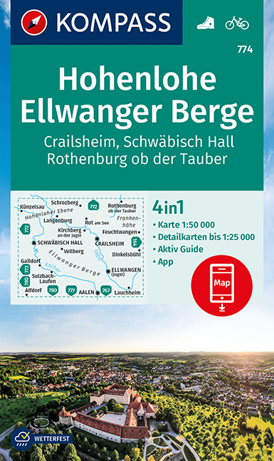
- Hohenlohe - Ellwanger Berge - Crailsheim - Schwäbisch Hall Kompass 774
- Hohenlohe - Ellwanger Berge - Crailsheim area of Baden-Württemberg on a detailed, GPS compatible map at 1:50,000 from Kompass with local and long-distance footpaths, cycling routes, accommodation, etc, printed on durable, waterproof and tear-resistant synthetic paper.KOMPASS HIKING & RECREATIONAL MAPS: this title is part of an extensive series... Read more
De Zwerver
Netherlands
Netherlands
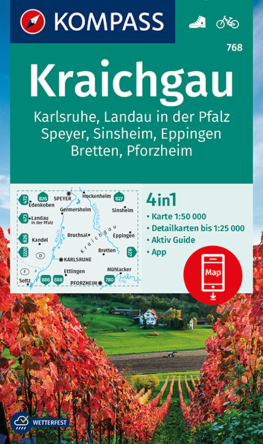
- Wandelkaart 768 Kraichgau | Kompass
- Kraichgau - Wiesloch - Bruchsal - Eppingen - Wingarten area of Baden-Württemberg east of Karlsruhe on a detailed, GPS compatible map at 1:50,000 from Kompass with local and long-distance footpaths, cycling routes, accommodation, etc, printed on durable, waterproof and tear-resistant synthetic paper.KOMPASS HIKING & RECREATIONAL MAPS: this title... Read more
- Also available from:
- Stanfords, United Kingdom

Stanfords
United Kingdom
United Kingdom
- Kraichgau - Karlsruhe - Landau i.d. Pfalz - Speyer - Bretten - Pforzheim Kompass 768
- Kraichgau - Wiesloch - Bruchsal - Eppingen - Wingarten area of Baden-Württemberg east of Karlsruhe on a detailed, GPS compatible map at 1:50,000 from Kompass with local and long-distance footpaths, cycling routes, accommodation, etc, printed on durable, waterproof and tear-resistant synthetic paper.KOMPASS HIKING & RECREATIONAL MAPS: this title... Read more

De Zwerver
Netherlands
Netherlands
- Wandelkaart 2 Stara Planina gebergte | Domino
- Stara Planina Central: Uzana to Vratnik map at 1:50,000 from Bulgarian publishers Domino, contoured and GPS compatible, with hiking trails, accommodation options including a list of local mountain refuges, etc. The map is double-sided and covers the mountains from just west of the Uzana massif, the geographical centre of Bulgaria, eastwards to... Read more
- Also available from:
- Stanfords, United Kingdom

Stanfords
United Kingdom
United Kingdom
- Stara Planina Central: Uzana to Vratnik Domino Map
- Stara Planina Central: Uzana to Vratnik map at 1:50,000 from Bulgarian publishers Domino, contoured and GPS compatible, with hiking trails, accommodation options including a list of local mountain refuges, etc. The map is double-sided and covers the mountains from just west of the Uzana massif, the geographical centre of Bulgaria, eastwards to... Read more
- Also available from:
- Stanfords, United Kingdom

Stanfords
United Kingdom
United Kingdom
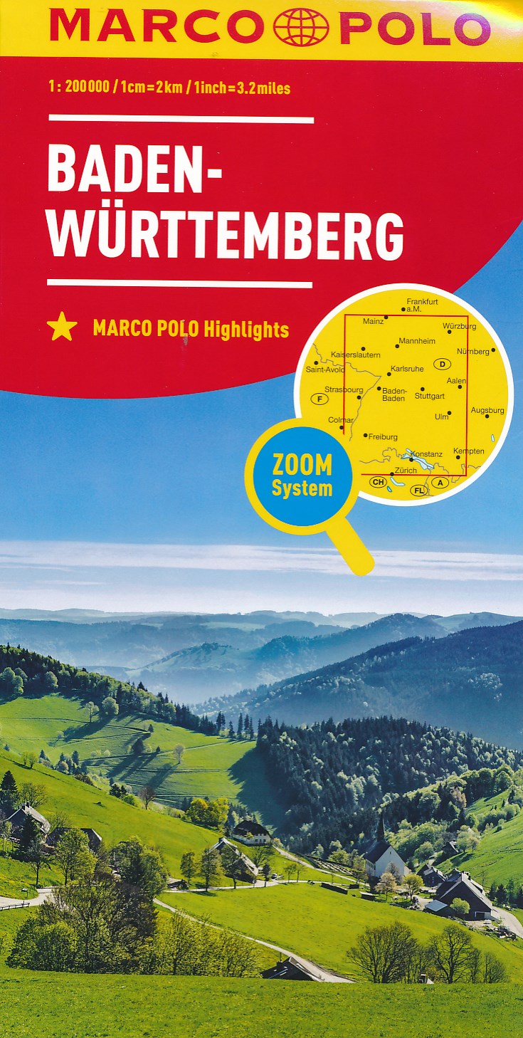
- Baden-Wurttemberg Marco Polo Regional Map 11
- German state of Baden-Württemberg on a double-sided, indexed road map at 1:200,000 in the MairDumont’s Marco Polo series, prominently highlighting interesting locations and protected areas. The map divides the region north/south with a very generous overlap; Stuttgart and Strasburg are included on both sides and the whole of the Black Forest... Read more