
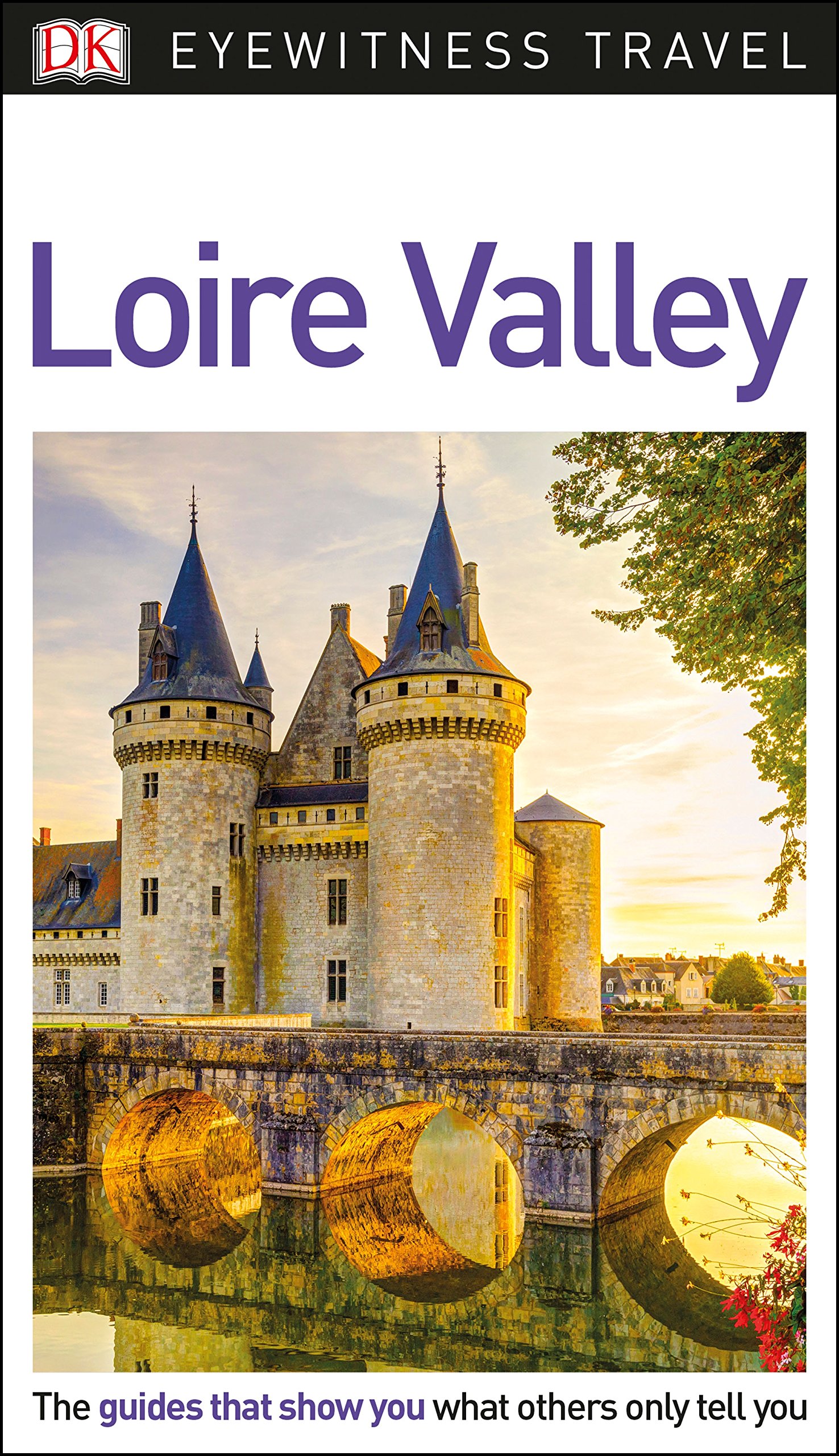
Loire
Beschreibung
France's longest river.
Links
Fakten
Berichte
Führer und Karten
Übernachtung
Organisationen
Reisebüros
GPS
Sonstiges
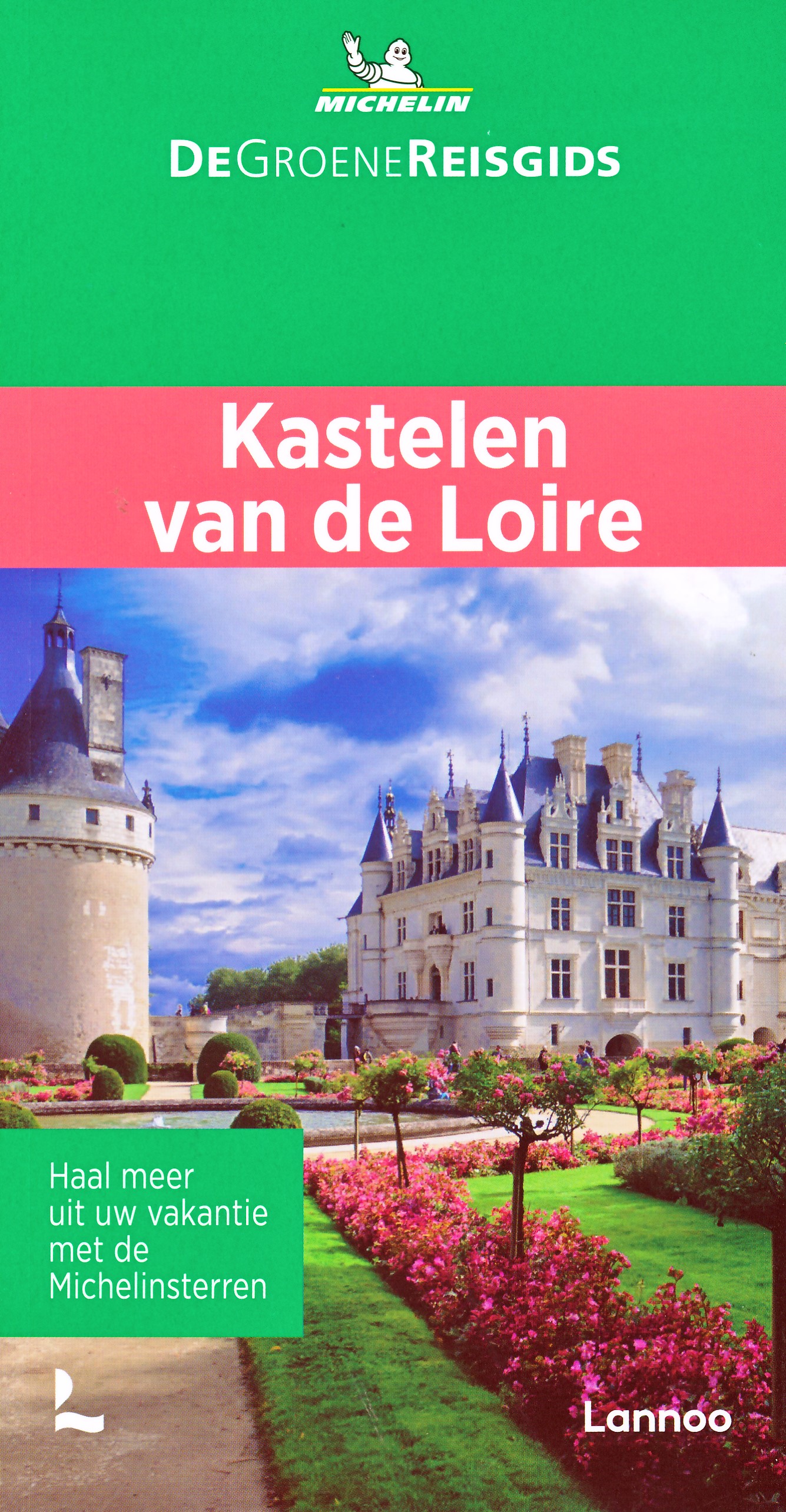
Bücher

The Book Depository
United Kingdom
2021
United Kingdom
2021
- Also available from:
- De Zwerver, Netherlands
De Zwerver
Netherlands
2012
Netherlands
2012
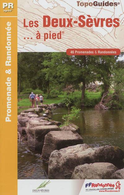
- Wandelgids D079 Les Deux-Sèvres à pied | FFRP
- Guide FFRandonnée Les Deux-Sèvres à pied PR 46 balades.Un nouveau topo-guide qui vient enrichir notre série sur les départements à pied. 46 balades dont 3 en ville pour découvrir toutes les facettes des Deux-SèvresLe département des Deux-Sèvres doit son nom à la Sèvre nantaise, dernier grand affluent de la Loire, et à la Sèvre niortaise, fleuve... Read more
- Also available from:
- Stanfords, United Kingdom

Stanfords
United Kingdom
2012
United Kingdom
2012
- Les Deux-Sèvres à pied FFRP Topo-guide No. D079
- Les Deux-Sèvres à pied, FFRP topo-guide Ref. No. D079, with 46 day walks of varying length and difficulty in the department of Les Deux-Sèvres. The guide offers an opportunity to discover the most emblematic areas of the department: the Marais Poitevin and the ‘Green Venice’, the Gâtine, the Thouet Valley, and the Route des Rois d’Angleterre!... Read more
De Zwerver
Netherlands
2018
Netherlands
2018
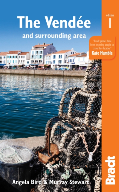
- Reisgids The Vendee and Surrounding Area | Bradt Travel Guides
- This new title from Bradt is the only English-language guide to focus on Pays de la Loire: The Vendee and surrounding area including Pornic, La Rochelle, Ile de Re and Nantes, an increasingly popular part of France. Written by award-winning travel writer Murray Stewart and Angela Bird, who for almost 50 years has owned a home in the region, it... Read more
- Also available from:
- Stanfords, United Kingdom

Stanfords
United Kingdom
2018
United Kingdom
2018
- Pays de la Loire: The Vendee: including Pornic, La Rochelle, Ile de Re and Nantes
- This new title from Bradt is the only English-language guide to focus on Pays de la Loire: The Vendee and surrounding area including Pornic, La Rochelle, Ile de Re and Nantes, an increasingly popular Loire Valley region. Written by award-winning travel writer Murray Stewart and Angela Bird, who for almost 50 years has owned a home in the... Read more
De Zwerver
Netherlands
2013
Netherlands
2013
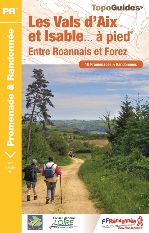
- Wandelgids P424 Les Vals d'Aix et Isable à pied | FFRP
- Guide FFRandonnée Les Vals d'Aix et Isable à pied - P424. PR 15 balades.Desservi par les autoroutes A 72 et A 89, les vals d'Aix et Isable sont à 30 min de Roanne et à moins d'une heure de Saint-Etienne, Lyon ou Clermont-Ferrand. Pour un grand bol d'air au plus près des gorges de la Loire !Nés de deux... Read more
- Also available from:
- Stanfords, United Kingdom

Stanfords
United Kingdom
2013
United Kingdom
2013
- Vals Aix et d`Isable à pied FFRP Topo-guide No. P424
- Vals Aix et d`Isable à pied, FFRP topo-guide Ref. No. P424, with 16 day walks of varying length and difficulty in the countryside between St. Etienne and Roanne. Each walk is presented on a separate colour extract from IGN’s topographic survey of France at 1:25,000, with its description cross-referenced to the map. Current edition of this title... Read more
De Zwerver
Netherlands
2013
Netherlands
2013
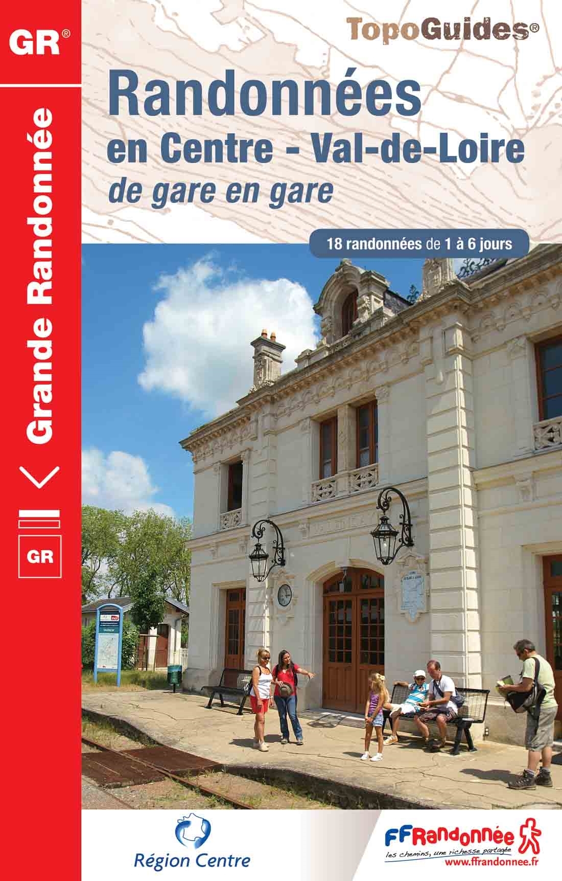
- Wandelgids 300 Randonnées en Centre Val-de-Loire | FFRP
- Guide FFRandonnée Randonnées en Centre - Val-de-Loire de gare en gare. GR.Nouveauté 2013 : 18 randonnées de 1 à 6 jours au départ des gares. La crème de la région Centre sans émission de gaz carbonique !Le topo-guide reprend des tronçons de GR® déjà... Read more
- Also available from:
- Stanfords, United Kingdom

Stanfords
United Kingdom
2013
United Kingdom
2013
- GR300: Randonnées en Centre - Val-de-Loire de gare en gare FFRP Topo-guide No. 300
- Randonnées en Centre - Val-de-Loire de gare en gare, FFRP topoguide Ref. no. 300, with 18 routes from one to six days long linking SNCF railway stations. Six of the routes can covered in one day; the longest one is a 93km walk from Bourges to Sancerre. The walks link some of France’s most interesting historical locations: Maintenon and... Read more
De Zwerver
Netherlands
2023
Netherlands
2023
De Zwerver
Netherlands
2012
Netherlands
2012
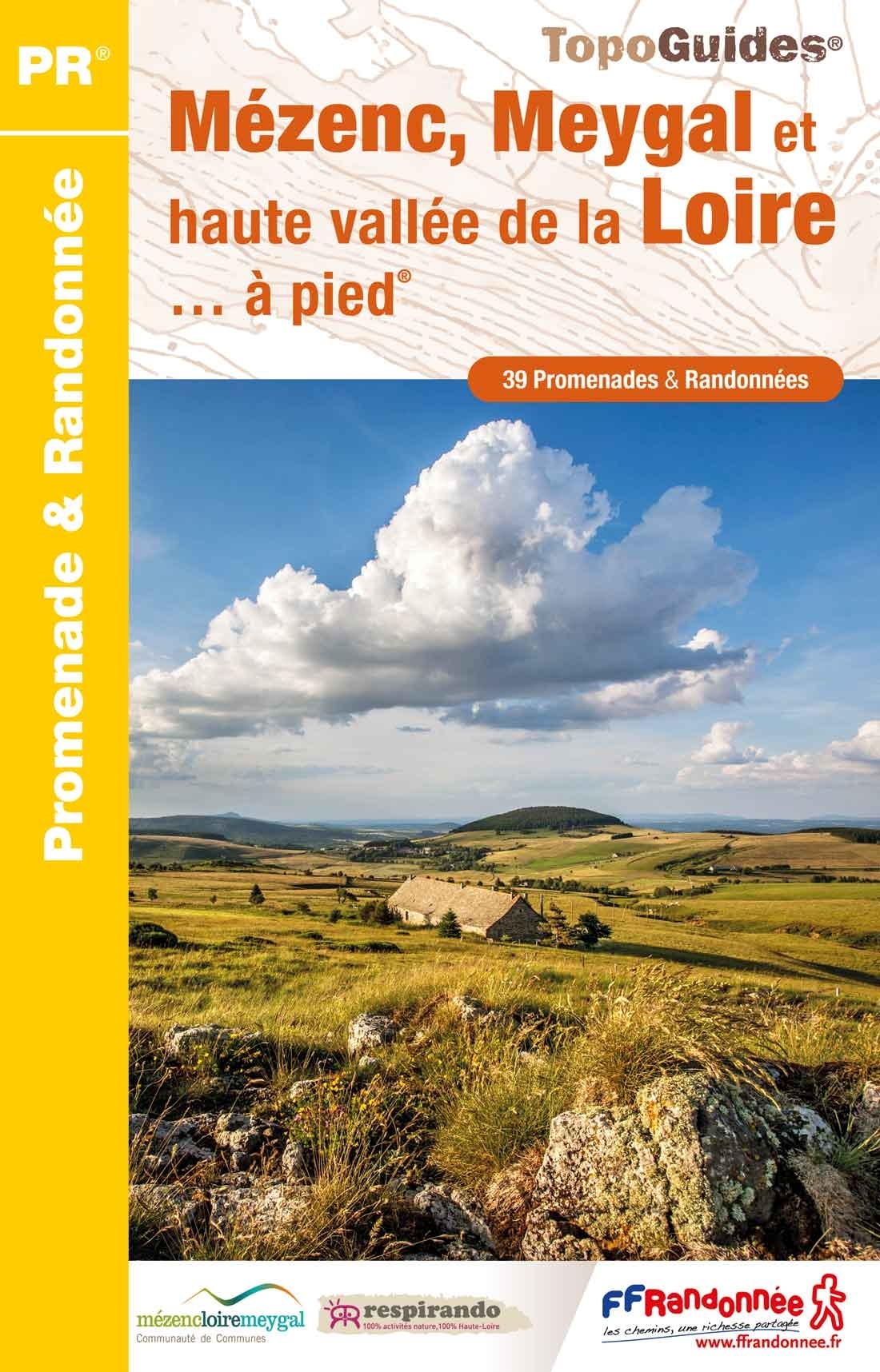
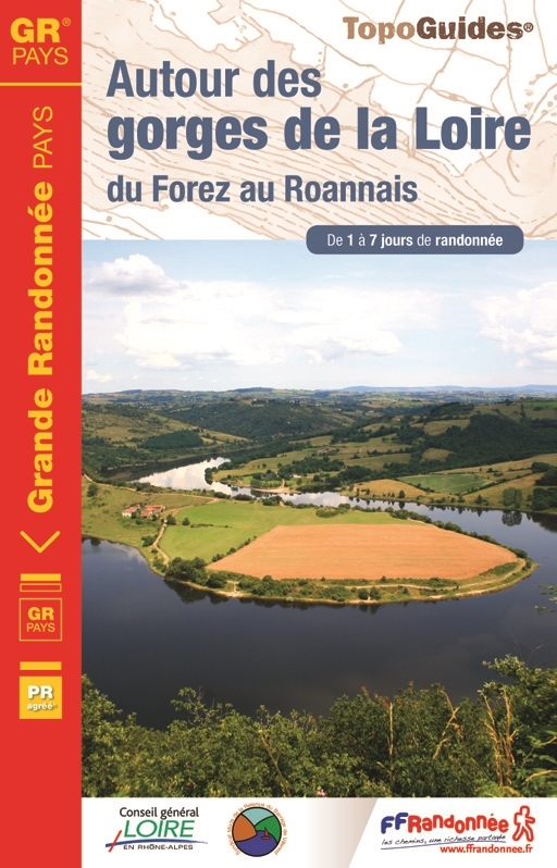
- Wandelgids 420 Autour des gorges de la Loire | FFRP
- Guide FFRandonnée Autour des gorges de la Loire. PR 10 balades, 150 km de sentiers GR.En 1, 2 ou 7 jours, vous marcherez sur les traces de l'homme de Neandertal, discernerez différents édifices ayant jalonné le fleuve au fil du temps et permis la navigation entre falaises et rochers depuis 3000 ans, ou visiterez les monuments remarquables au... Read more
- Also available from:
- Stanfords, United Kingdom

Stanfords
United Kingdom
2012
United Kingdom
2012
- GRP: Autour des Gorges de la Loire du Forez au Roannais FFRP Topo-guide No. 420
- GRP: Autour des Gorges de la Loire du Forez au Roannais, FFRP topo-guide ref. no. 420, one of the titles from an extensive series of light, high quality, A5 paperback guides to the Sentiers de Grande Randonnée, the GR routes, a dense network of long-distance footpaths across the French countryside. Each topo-guide covers either a circular... Read more
De Zwerver
Netherlands
2019
Netherlands
2019
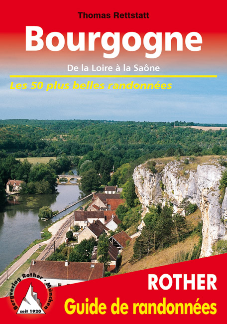
- Wandelgids Bourgogne (Franstalig) | Rother Bergverlag
- De la Loire à la Saône. Les 50 plus belles randonnées Read more
Weitere Bücher…
Karten

- Also available from:
- De Zwerver, Netherlands
- Stanfords, United Kingdom

De Zwerver
Netherlands
Netherlands

Stanfords
United Kingdom
United Kingdom
- Paris - Chantilly - Fontainebleau IGN TOP100 190
- Discover the new double-sided laminated edition of TOP100 road maps of France from the Institut Géographique National (IGN); exceptionally detailed, contoured road maps which include the cycle paths and greenways of the AF3V (French Association for the Development of Cycle Paths and Greenways), ideal for exploring the French countryside by car,... Read more

- Also available from:
- De Zwerver, Netherlands
- Stanfords, United Kingdom
De Zwerver
Netherlands
Netherlands

Stanfords
United Kingdom
United Kingdom
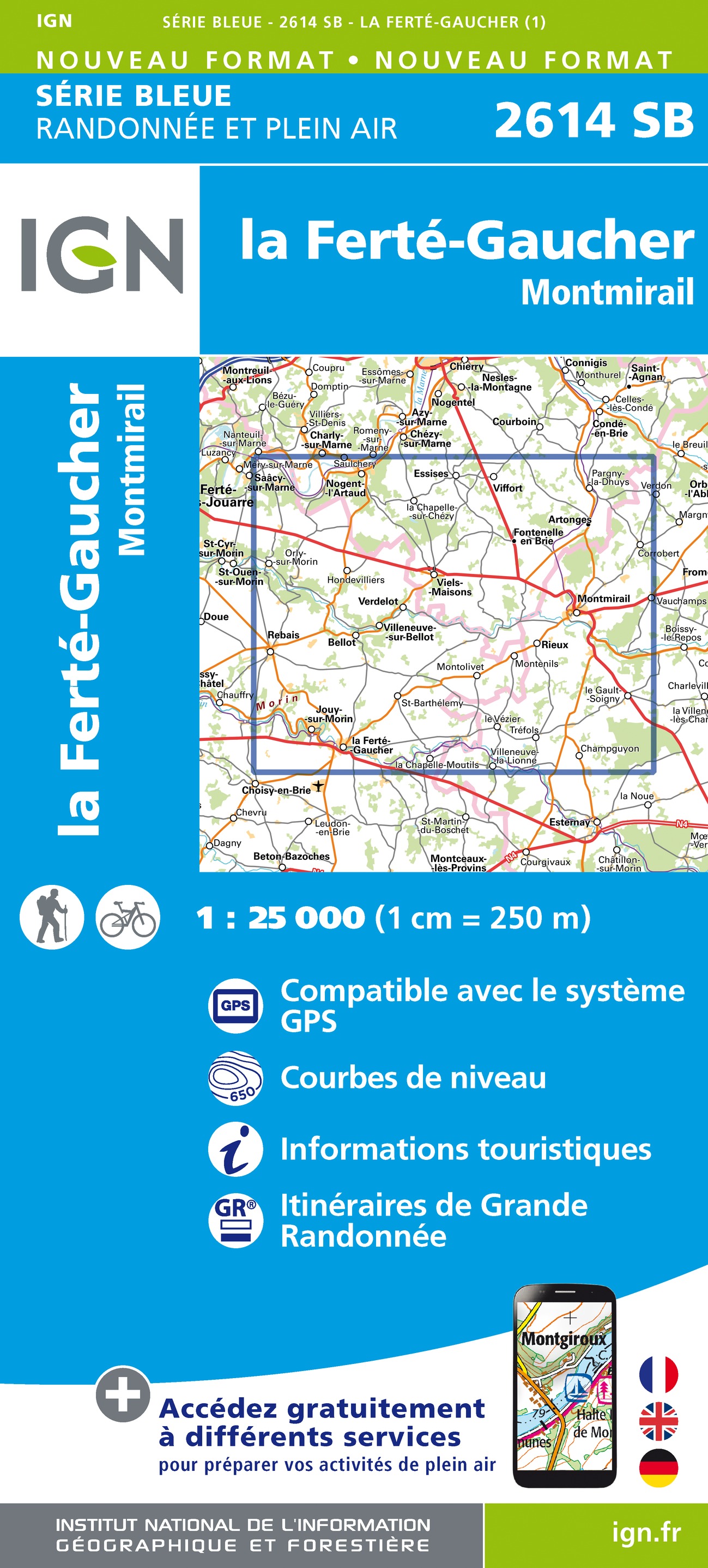
- la Ferte-Gaucher - Montmirail IGN 2614SB
- Topographic survey of France at 1:25,000 in IGN`s excellent TOP25 / Série Bleue series. All the maps are GPS compatible, with a 1km UTM grid plus latitude and longitude lines at 5’ intervals. Contours are at 5m intervals except for mountainous areas where the maps have contours at 10m intervals, vividly enhanced by hill shading and graphics for... Read more

- Also available from:
- De Zwerver, Netherlands
- Stanfords, United Kingdom
De Zwerver
Netherlands
Netherlands


- Also available from:
- De Zwerver, Netherlands
- Stanfords, United Kingdom
De Zwerver
Netherlands
Netherlands


The Book Depository
United Kingdom
United Kingdom
- Also available from:
- De Zwerver, Netherlands
- Stanfords, United Kingdom

De Zwerver
Netherlands
Netherlands

Stanfords
United Kingdom
United Kingdom
- Mantes-la-jolie - Boucles de la Seine - PNR du Vexin Francais IGN 2113ET
- Topographic survey of France at 1:25,000 in IGN`s excellent TOP25 / Série Bleue series. All the maps are GPS compatible, with a 1km UTM grid plus latitude and longitude lines at 5’ intervals. Contours are at 5m intervals except for mountainous areas where the maps have contours at 10m intervals, vividly enhanced by hill shading and graphics for... Read more

- Also available from:
- De Zwerver, Netherlands
- Stanfords, United Kingdom
De Zwerver
Netherlands
Netherlands

Stanfords
United Kingdom
United Kingdom
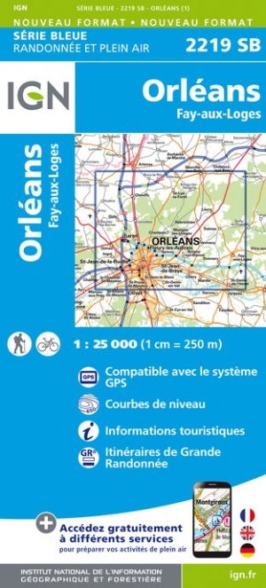
- Orleans - Fay-aux-Loges IGN 2219SB
- Topographic survey of France at 1:25,000 in IGN`s excellent TOP25 / Série Bleue series. All the maps are GPS compatible, with a 1km UTM grid plus latitude and longitude lines at 5’ intervals. Contours are at 5m intervals except for mountainous areas where the maps have contours at 10m intervals, vividly enhanced by hill shading and graphics for... Read more

- Also available from:
- De Zwerver, Netherlands
- Stanfords, United Kingdom
De Zwerver
Netherlands
Netherlands

Stanfords
United Kingdom
United Kingdom
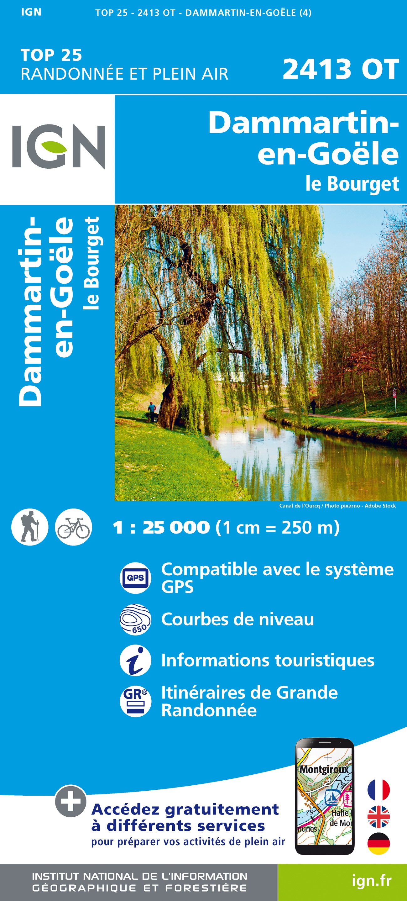
- Dammartin-en-Goele - le Bourget IGN 2413OT
- Topographic survey of France at 1:25,000 in IGN`s excellent TOP25 / Série Bleue series. All the maps are GPS compatible, with a 1km UTM grid plus latitude and longitude lines at 5’ intervals. Contours are at 5m intervals except for mountainous areas where the maps have contours at 10m intervals, vividly enhanced by hill shading and graphics for... Read more

- Also available from:
- De Zwerver, Netherlands
- Stanfords, United Kingdom
De Zwerver
Netherlands
Netherlands

Stanfords
United Kingdom
United Kingdom
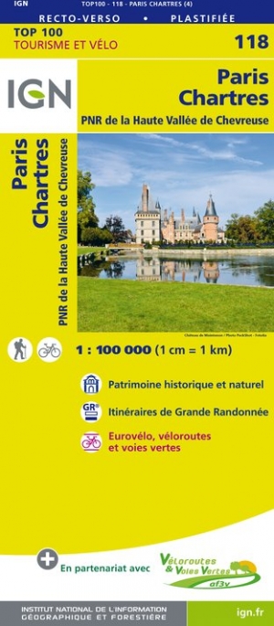
- Paris - Chartres - PNR de la Haute Vallée de Chevreuse IGN TOP100 118
- Discover the new double-sided laminated edition of TOP100 road maps of France from the Institut Géographique National (IGN); exceptionally detailed, contoured road maps which include the cycle paths and greenways of the AF3V (French Association for the Development of Cycle Paths and Greenways), ideal for exploring the French countryside by car,... Read more

- Also available from:
- De Zwerver, Netherlands
- Stanfords, United Kingdom
De Zwerver
Netherlands
Netherlands

Stanfords
United Kingdom
United Kingdom
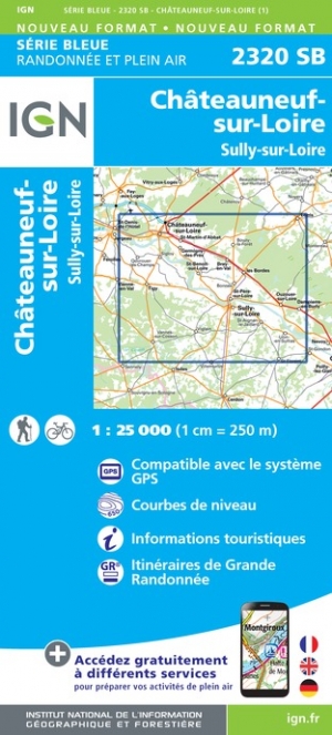
- Chateauneuf-sur-Loire - Sully-sur-Loire IGN 2320SB
- Topographic survey of France at 1:25,000 in IGN`s excellent TOP25 / Série Bleue series. All the maps are GPS compatible, with a 1km UTM grid plus latitude and longitude lines at 5’ intervals. Contours are at 5m intervals except for mountainous areas where the maps have contours at 10m intervals, vividly enhanced by hill shading and graphics for... Read more

- Also available from:
- De Zwerver, Netherlands
- Stanfords, United Kingdom
De Zwerver
Netherlands
Netherlands

Stanfords
United Kingdom
United Kingdom
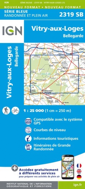
- Vitry-aux-Loges - Bellegarde IGN 2319SB
- Topographic survey of France at 1:25,000 in IGN`s excellent TOP25 / Série Bleue series. All the maps are GPS compatible, with a 1km UTM grid plus latitude and longitude lines at 5’ intervals. Contours are at 5m intervals except for mountainous areas where the maps have contours at 10m intervals, vividly enhanced by hill shading and graphics for... Read more

The Book Depository
United Kingdom
United Kingdom
- Versailles / Forets de Marly et de St-Germain
- Topographic survey of France at 1:25,000 in IGN`s excellent TOP25 / Série Bleue series. All the maps are GPS compatible, with a 1km UTM grid plus latitude and longitude lines at 5’ intervals. Contours are at 5m intervals except for mountainous areas where the maps have contours at 10m intervals, vividly enhanced by hill shading and graphics for... Read more
- Also available from:
- De Zwerver, Netherlands
- Stanfords, United Kingdom
De Zwerver
Netherlands
Netherlands
- Wandelkaart - Topografische kaart 2214ET Versailles, Forêts de Marly et de St-Germain | IGN - Institut Géographique National
- Topographic survey of France at 1:25,000 in IGN`s excellent TOP25 / Série Bleue series. All the maps are GPS compatible, with a 1km UTM grid plus latitude and longitude lines at 5’ intervals. Contours are at 5m intervals except for mountainous areas where the maps have contours at 10m intervals, vividly enhanced by hill shading and graphics for... Read more

Stanfords
United Kingdom
United Kingdom
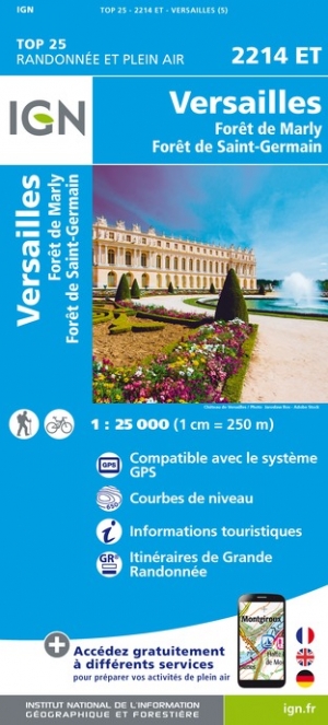
- Versailles - Foret de Marly - Foret de Saint-Germain IGN 2214ET
- Topographic survey of France at 1:25,000 in IGN`s excellent TOP25 / Série Bleue series. All the maps are GPS compatible, with a 1km UTM grid plus latitude and longitude lines at 5’ intervals. Contours are at 5m intervals except for mountainous areas where the maps have contours at 10m intervals, vividly enhanced by hill shading and graphics for... Read more

- Also available from:
- De Zwerver, Netherlands

- Also available from:
- De Zwerver, Netherlands
- Stanfords, United Kingdom

The Book Depository
United Kingdom
2021
United Kingdom
2021
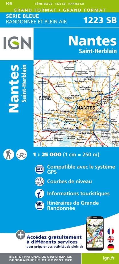
- Nantes / St-Herblain
- Topographic survey of France at 1:25,000 in IGN`s excellent TOP25 / Série Bleue series. All the maps are GPS compatible, with a 1km UTM grid plus latitude and longitude lines at 5’ intervals. Contours are at 5m intervals except for mountainous areas where the maps have contours at 10m intervals, vividly enhanced by hill shading and graphics for... Read more
- Also available from:
- De Zwerver, Netherlands
- Stanfords, United Kingdom

De Zwerver
Netherlands
2021
Netherlands
2021
- Topografische kaart - Wandelkaart 1223SB Nantes - St Herblain | IGN - Institut Géographique National
- Topographic survey of France at 1:25,000 in IGN`s excellent TOP25 / Série Bleue series. All the maps are GPS compatible, with a 1km UTM grid plus latitude and longitude lines at 5’ intervals. Contours are at 5m intervals except for mountainous areas where the maps have contours at 10m intervals, vividly enhanced by hill shading and graphics for... Read more
Stanfords
United Kingdom
2021
United Kingdom
2021
- Nantes - Saint-Herblain IGN 1223SB
- Topographic survey of France at 1:25,000 in IGN`s excellent TOP25 / Série Bleue series. All the maps are GPS compatible, with a 1km UTM grid plus latitude and longitude lines at 5’ intervals. Contours are at 5m intervals except for mountainous areas where the maps have contours at 10m intervals, vividly enhanced by hill shading and graphics for... Read more

- Also available from:
- De Zwerver, Netherlands
- Stanfords, United Kingdom
De Zwerver
Netherlands
Netherlands

Stanfords
United Kingdom
United Kingdom
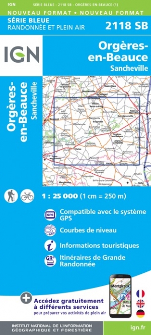
- Orgeres-en-Beauce - Sancheville IGN 2118SB
- Topographic survey of France at 1:25,000 in IGN`s excellent TOP25 / Série Bleue series. All the maps are GPS compatible, with a 1km UTM grid plus latitude and longitude lines at 5’ intervals. Contours are at 5m intervals except for mountainous areas where the maps have contours at 10m intervals, vividly enhanced by hill shading and graphics for... Read more