
Faroe Islands
Beschreibung
- Zugängliche Orte Island group halfway between Iceland, Scotland and Norway.
Links
Fakten
Berichte
Führer und Karten
Übernachtung
Organisationen
Reisebüros
GPS
Sonstiges
Bücher

Stanfords
United Kingdom
United Kingdom
- DK Eyewitness Travel Guide Denmark
- Discover Denmark with this essential travel guide, designed to help you create your own unique trip and to transport you to this beautiful country before you`ve even packed your case. Cycle Copenhagen`s picturesque streets, explore the rugged coastline of Bornholm, swig craft beer in Aarhus or follow in the footsteps of Vikings in Viborg and... Read more
Bol.com
Netherlands
2016
Netherlands
2016
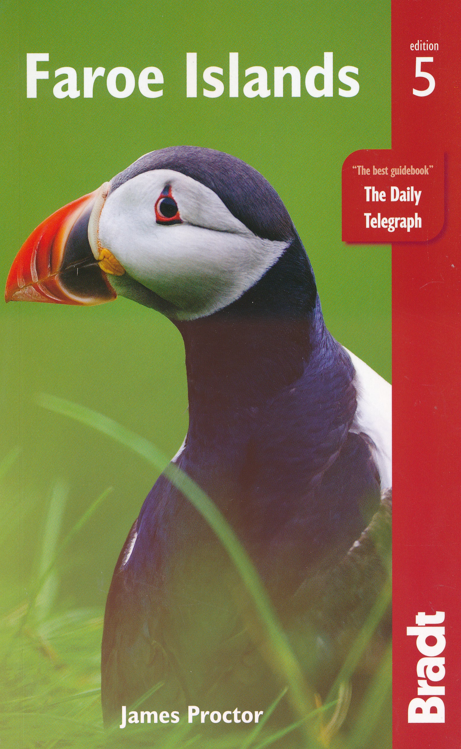
- Faroe Islands
- Still the only English-language guide to the Faroe Islands, covering everything from succulent fish suppers to remote hideaways, the Bradt guide is the definitive source of information for visitors wishing to discover the 18 islands of this North Atlantic archipelago. Covering hands-on information about where to stay and eat, how to get around... Read more
- Also available from:
- Bol.com, Belgium
Bol.com
Belgium
2016
Belgium
2016
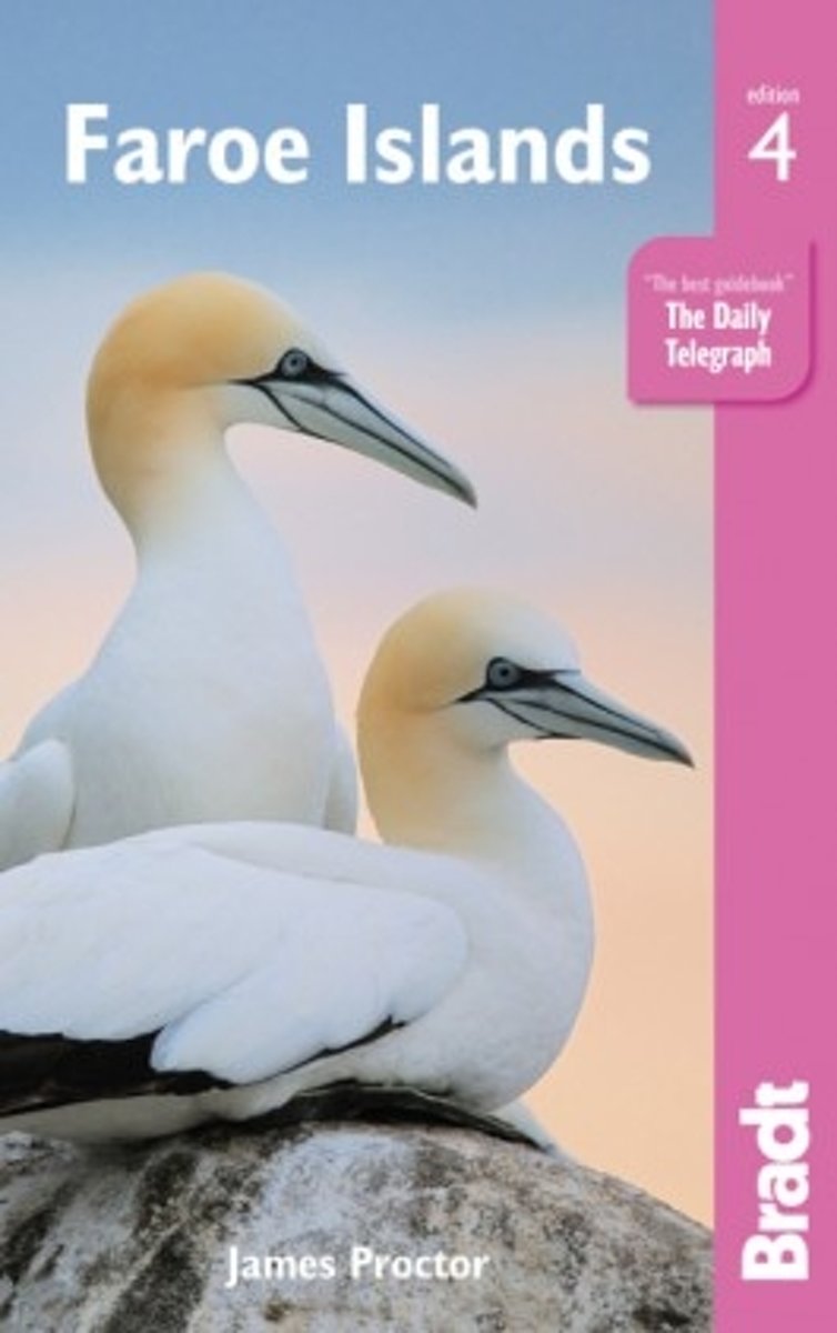
- Faroe Islands
- Still the only English-language guide to the Faroe Islands, covering everything from succulent fish suppers to remote hideaways, the Bradt guide is the definitive source of information for visitors wishing to discover the 18 islands of this North Atlantic archipelago. Covering hands-on information about where to stay and eat, how to get around... Read more
Karten
De Zwerver
Netherlands
2022
Netherlands
2022
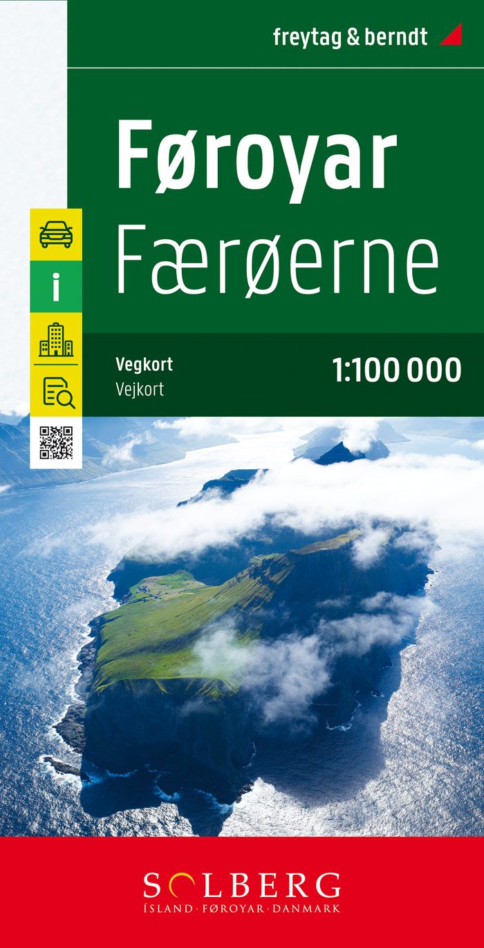
- Wandelkaart - Fietskaart - Wegenkaart - landkaart Faroer Eilanden - Foroyar | Solberg - Freytag
- Faeroe Islands at 1:100,000 on a large, indexed map from Freytag & Berndt with excellent presentation of their topography through contours at 50m intervals enhanced by relief shading, places of interest and ferry connections, etc, plus a street plan of T Read more
- Also available from:
- Stanfords, United Kingdom

Stanfords
United Kingdom
2022
United Kingdom
2022
- Faroe Islands Solberg-F&B Road Map
- Faeroe Islands at 1:100,000 on a large, indexed map from Freytag & Berndt with excellent presentation of their topography through contours at 50m intervals enhanced by relief shading, places of interest and ferry connections, etc, plus a street plan of Tórshavn.The map, published by F&B in cooperation with the locally based Henrik Solberg,... Read more

Stanfords
United Kingdom
United Kingdom
- Fulgoy
- Topographic survey of Faroe Islands at 1:20,000 prepared by the Danish national mapping agency Kort og Matrikelstyrelsen. The islands’ topography is vividly presented by contours at 5 metre intervals, enhanced by relief shading plus colouring and/or graphics for different types of terrain or vegetation (scree, boulders, etc). The maps show all... Read more
Stanfords
United Kingdom
United Kingdom
- Runavik
- Topographic survey of Faroe Islands at 1:20,000 prepared by the Danish national mapping agency Kort og Matrikelstyrelsen. The islands’ topography is vividly presented by contours at 5 metre intervals, enhanced by relief shading plus colouring and/or graphics for different types of terrain or vegetation (scree, boulders, etc). The maps show all... Read more
Stanfords
United Kingdom
United Kingdom
- Famjin
- Topographic survey of Faroe Islands at 1:20,000 prepared by the Danish national mapping agency Kort og Matrikelstyrelsen. The islands’ topography is vividly presented by contours at 5 metre intervals, enhanced by relief shading plus colouring and/or graphics for different types of terrain or vegetation (scree, boulders, etc). The maps show all... Read more
Stanfords
United Kingdom
United Kingdom
- Litla Dimun
- Topographic survey of Faroe Islands at 1:20,000 prepared by the Danish national mapping agency Kort og Matrikelstyrelsen. The islands’ topography is vividly presented by contours at 5 metre intervals, enhanced by relief shading plus colouring and/or graphics for different types of terrain or vegetation (scree, boulders, etc). The maps show all... Read more
Stanfords
United Kingdom
United Kingdom
- Tjornuvík
- Topographic survey of Faroe Islands at 1:20,000 prepared by the Danish national mapping agency Kort og Matrikelstyrelsen. The islands’ topography is vividly presented by contours at 5 metre intervals, enhanced by relief shading plus colouring and/or graphics for different types of terrain or vegetation (scree, boulders, etc). The maps show all... Read more
Stanfords
United Kingdom
United Kingdom
- Klaksvik
- Topographic survey of Faroe Islands at 1:20,000 prepared by the Danish national mapping agency Kort og Matrikelstyrelsen. The islands’ topography is vividly presented by contours at 5 metre intervals, enhanced by relief shading plus colouring and/or graphics for different types of terrain or vegetation (scree, boulders, etc). The maps show all... Read more
Stanfords
United Kingdom
United Kingdom
- Nordradalur
- Topographic survey of Faroe Islands at 1:20,000 prepared by the Danish national mapping agency Kort og Matrikelstyrelsen. The islands’ topography is vividly presented by contours at 5 metre intervals, enhanced by relief shading plus colouring and/or graphics for different types of terrain or vegetation (scree, boulders, etc). The maps show all... Read more
Stanfords
United Kingdom
United Kingdom
- Hvalba
- Topographic survey of Faroe Islands at 1:20,000 prepared by the Danish national mapping agency Kort og Matrikelstyrelsen. The islands’ topography is vividly presented by contours at 5 metre intervals, enhanced by relief shading plus colouring and/or graphics for different types of terrain or vegetation (scree, boulders, etc). The maps show all... Read more
Stanfords
United Kingdom
United Kingdom
- Stora Dimun
- Topographic survey of Faroe Islands at 1:20,000 prepared by the Danish national mapping agency Kort og Matrikelstyrelsen. The islands’ topography is vividly presented by contours at 5 metre intervals, enhanced by relief shading plus colouring and/or graphics for different types of terrain or vegetation (scree, boulders, etc). The maps show all... Read more
Stanfords
United Kingdom
United Kingdom
- Hvalvík
- Topographic survey of Faroe Islands at 1:20,000 prepared by the Danish national mapping agency Kort og Matrikelstyrelsen. The islands’ topography is vividly presented by contours at 5 metre intervals, enhanced by relief shading plus colouring and/or graphics for different types of terrain or vegetation (scree, boulders, etc). The maps show all... Read more
Stanfords
United Kingdom
United Kingdom
- Hvannasund
- Topographic survey of Faroe Islands at 1:20,000 prepared by the Danish national mapping agency Kort og Matrikelstyrelsen. The islands’ topography is vividly presented by contours at 5 metre intervals, enhanced by relief shading plus colouring and/or graphics for different types of terrain or vegetation (scree, boulders, etc). The maps show all... Read more
Stanfords
United Kingdom
United Kingdom
- Torshavn
- Topographic survey of Faroe Islands at 1:20,000 prepared by the Danish national mapping agency Kort og Matrikelstyrelsen. The islands’ topography is vividly presented by contours at 5 metre intervals, enhanced by relief shading plus colouring and/or graphics for different types of terrain or vegetation (scree, boulders, etc). The maps show all... Read more
Stanfords
United Kingdom
United Kingdom
- Sandur
- Topographic survey of Faroe Islands at 1:20,000 prepared by the Danish national mapping agency Kort og Matrikelstyrelsen. The islands’ topography is vividly presented by contours at 5 metre intervals, enhanced by relief shading plus colouring and/or graphics for different types of terrain or vegetation (scree, boulders, etc). The maps show all... Read more
Stanfords
United Kingdom
United Kingdom
- Husavik
- Topographic survey of Faroe Islands at 1:20,000 prepared by the Danish national mapping agency Kort og Matrikelstyrelsen. The islands’ topography is vividly presented by contours at 5 metre intervals, enhanced by relief shading plus colouring and/or graphics for different types of terrain or vegetation (scree, boulders, etc). The maps show all... Read more