
Dominica
Beschreibung
Links
Fakten
Berichte
Führer und Karten
Übernachtung
Organisationen
Reisebüros
GPS
Sonstiges
Bücher
De Zwerver
Netherlands
2017
Netherlands
2017
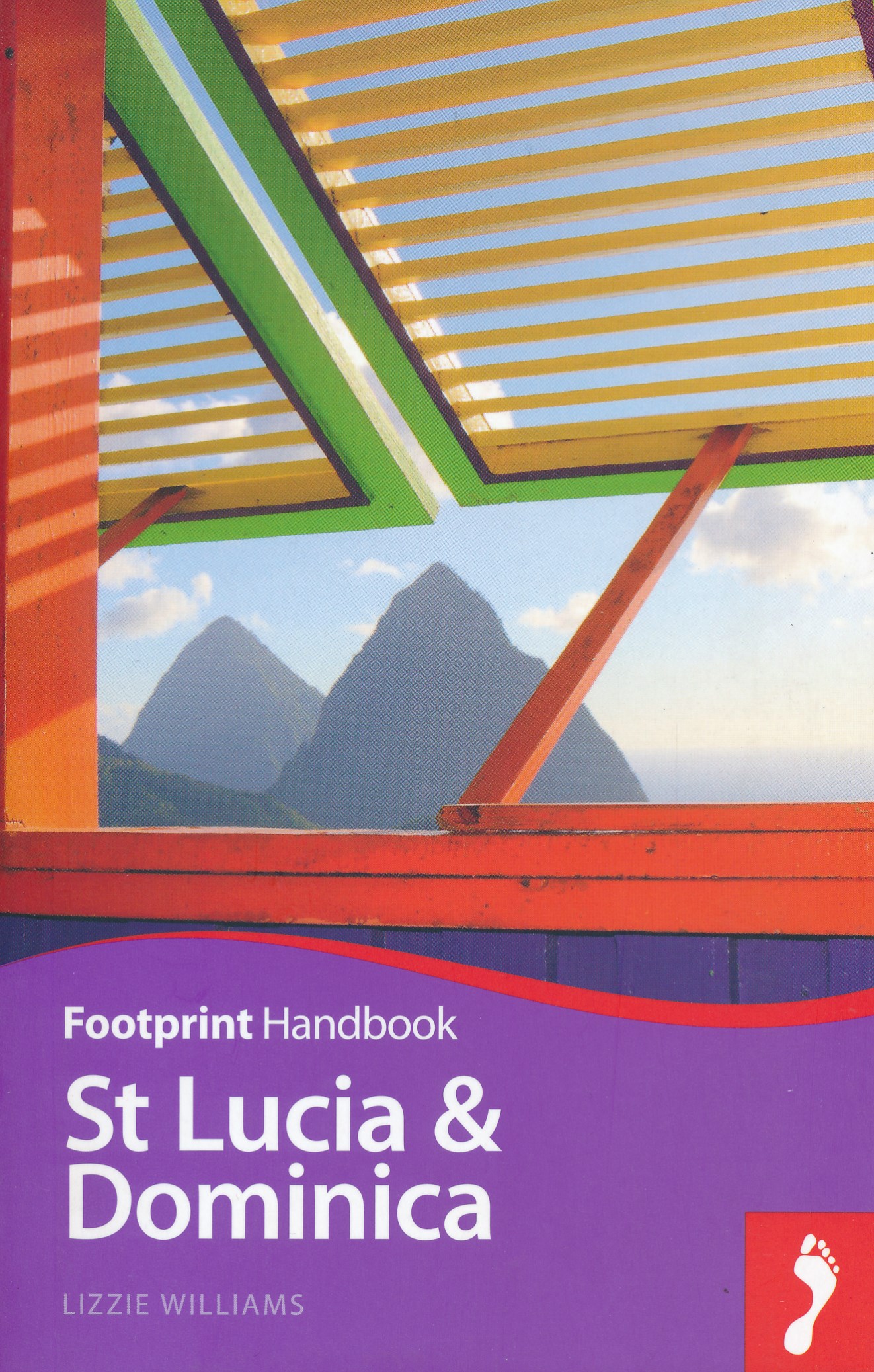
- Reisgids Focus St Lucia en Dominica | Footprint
- Kleine uitgave van de alom gewaardeerde Footprint guides: goede gidsen met veel praktische informatie als hotels, restaurants, openbaar vervoer en musea. Ook gedegen culturele achtergrond informatie. Lush, tropical landscapes define this area of the Caribbean. From the low-key and traditional Dominica to the spectacular mountains of St Lucia,... Read more
Bol.com
Netherlands
Netherlands
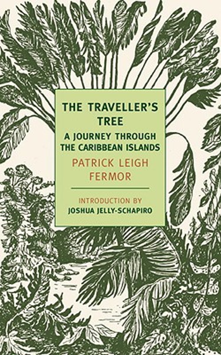
- The Traveller's Tree
- In the late 1940s Patrick Leigh Fermor, now widely regarded as one of the twentieth century s greatest travel writers, set out to explore the then relatively little-visited islands of the Caribbean. Rather than a comprehensive political or historical study of the region, The Traveller s Tree, Leigh Fermor s first book, gives us his own vivid,... Read more
- Also available from:
- Bol.com, Belgium
Bol.com
Belgium
Belgium
- The Traveller's Tree
- In the late 1940s Patrick Leigh Fermor, now widely regarded as one of the twentieth century s greatest travel writers, set out to explore the then relatively little-visited islands of the Caribbean. Rather than a comprehensive political or historical study of the region, The Traveller s Tree, Leigh Fermor s first book, gives us his own vivid,... Read more
Bol.com
Netherlands
Netherlands
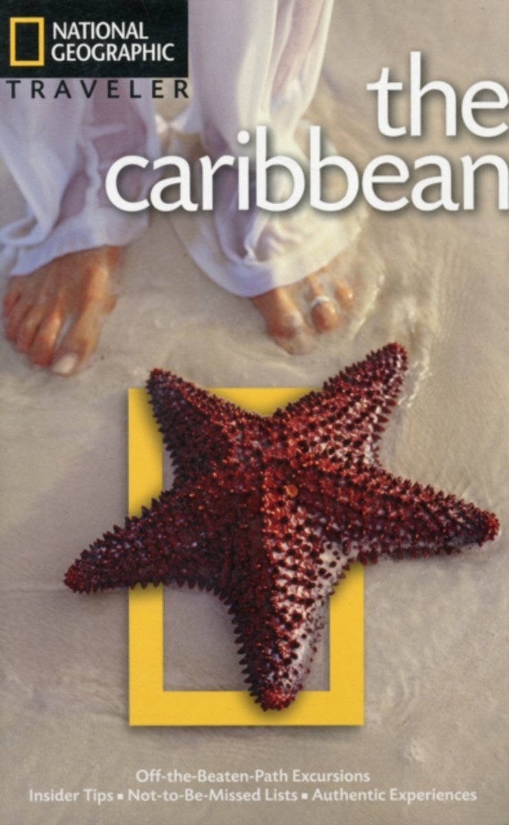
- National Geographic Traveler Caribbean
- This beautiful guide takes you to the best islands of the Caribbean, from the Windward Islands of St. Lucia and Dominica to the Leeward Islands of Antigua and Barbados. Replete with detailed visitor information and insider tips from National Geographic writers, photographers, and explorers, it features cut-away illustrations of the coral reefs... Read more
- Also available from:
- Bol.com, Belgium
Bol.com
Belgium
Belgium
- National Geographic Traveler Caribbean
- This beautiful guide takes you to the best islands of the Caribbean, from the Windward Islands of St. Lucia and Dominica to the Leeward Islands of Antigua and Barbados. Replete with detailed visitor information and insider tips from National Geographic writers, photographers, and explorers, it features cut-away illustrations of the coral reefs... Read more
Bol.com
Netherlands
2016
Netherlands
2016
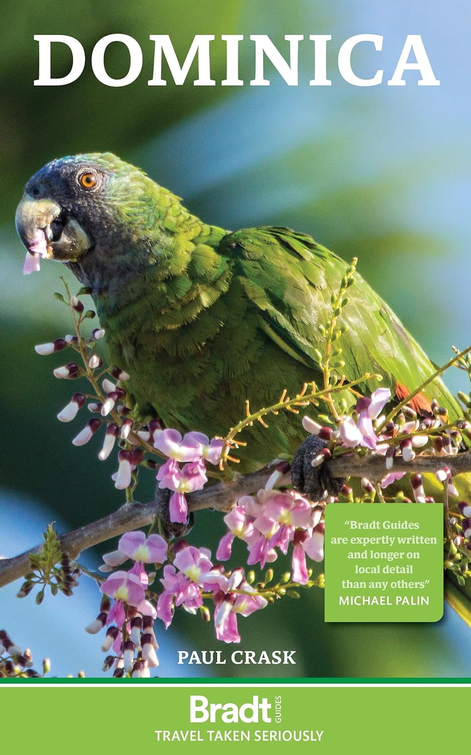
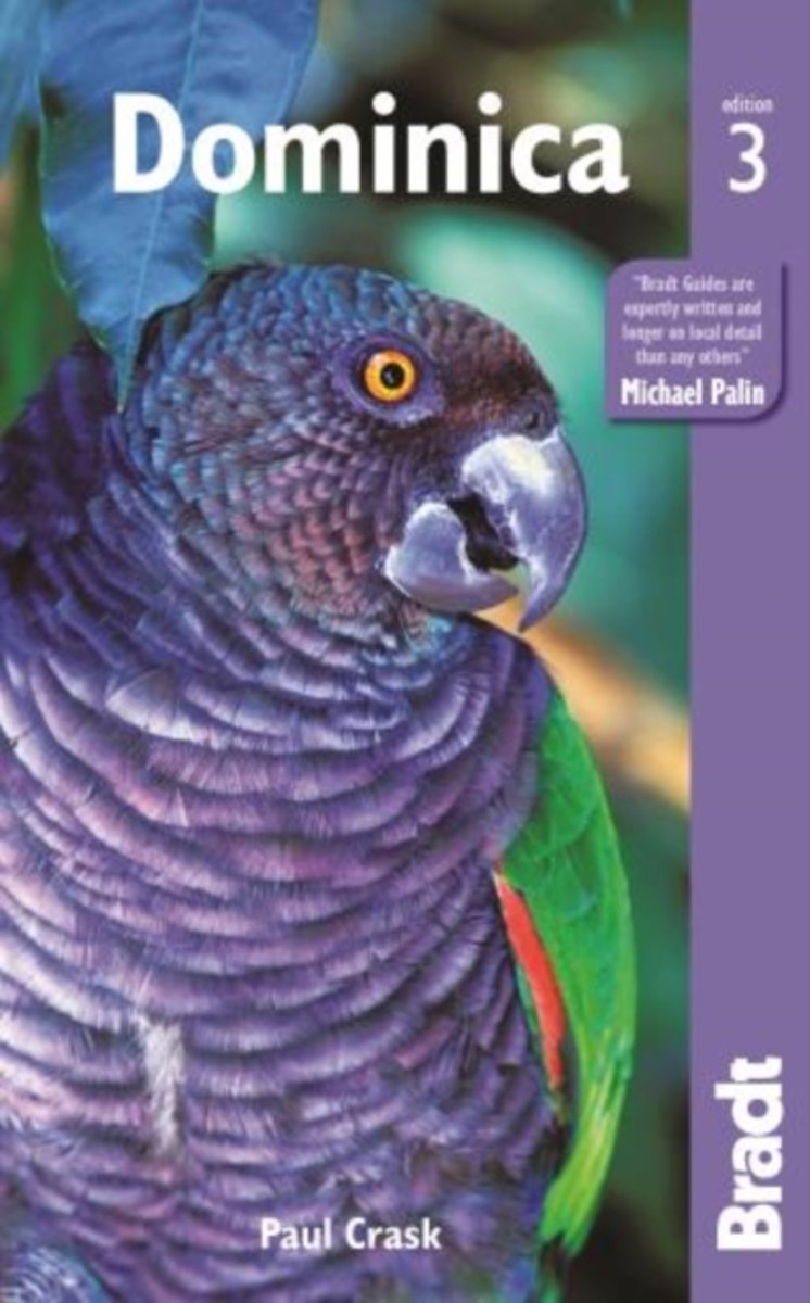
- Dominica
- Bradt's Dominica is the only standalone guide available to this Caribbean nature island, a place of unbridled, off-the-beaten-path adventure and discovery. Author Paul Crask has lived on Dominica for over ten years and his guide, considered by many to be a traveller's bible to the island, is rich in detail, both in terms of background and... Read more
- Also available from:
- Bol.com, Belgium
Bol.com
Belgium
2016
Belgium
2016
- Dominica
- Bradt's Dominica is the only standalone guide available to this Caribbean nature island, a place of unbridled, off-the-beaten-path adventure and discovery. Author Paul Crask has lived on Dominica for over ten years and his guide, considered by many to be a traveller's bible to the island, is rich in detail, both in terms of background and... Read more
Bol.com
Netherlands
Netherlands
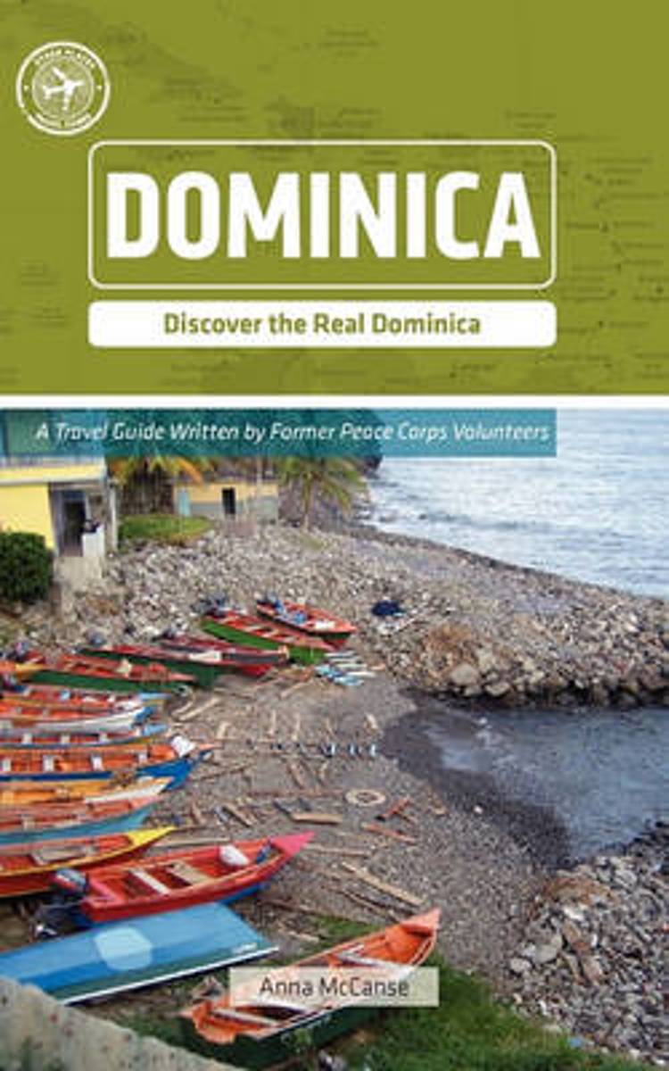
- Dominica (Other Places Travel Guide)
- It's hard to find a nation that dances to a friendlier, more laid-back tempo than Dominica. The island rises majestically out of a turquoise-blue sea and provides a visually stunning backdrop to an easy-going way of life. You won't find your typical Caribbean beach vacation here, but what you will find is a country that begs you to discover and... Read more
- Also available from:
- Bol.com, Belgium
Bol.com
Belgium
Belgium
- Dominica (Other Places Travel Guide)
- It's hard to find a nation that dances to a friendlier, more laid-back tempo than Dominica. The island rises majestically out of a turquoise-blue sea and provides a visually stunning backdrop to an easy-going way of life. You won't find your typical Caribbean beach vacation here, but what you will find is a country that begs you to discover and... Read more
Bol.com
Netherlands
Netherlands
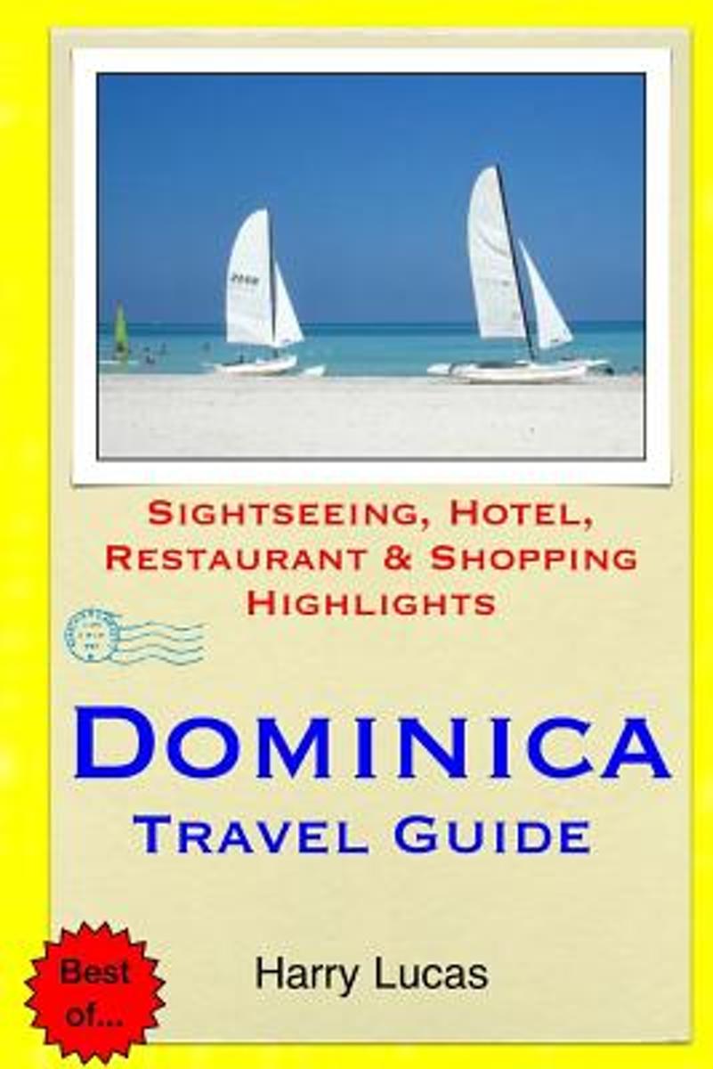
- Dominica Travel Guide
- The Commonwealth of Dominica is a beautiful island paradise set in the Caribbean Sea. Discovered by Christopher Columbus on a Sunday in 1493, he named the island Dominica, meaning Sunday in Latin. With lush green forests, picturesque waterfalls, miles of hiking trails, volcanic mountains, thermal springs, and an endless list of fun activities,... Read more
- Also available from:
- Bol.com, Belgium
Bol.com
Belgium
Belgium
- Dominica Travel Guide
- The Commonwealth of Dominica is a beautiful island paradise set in the Caribbean Sea. Discovered by Christopher Columbus on a Sunday in 1493, he named the island Dominica, meaning Sunday in Latin. With lush green forests, picturesque waterfalls, miles of hiking trails, volcanic mountains, thermal springs, and an endless list of fun activities,... Read more
Karten
De Zwerver
Netherlands
Netherlands
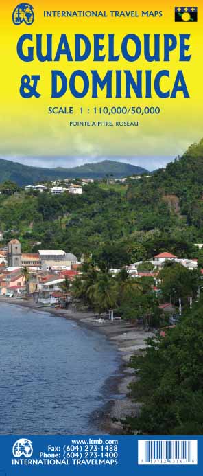
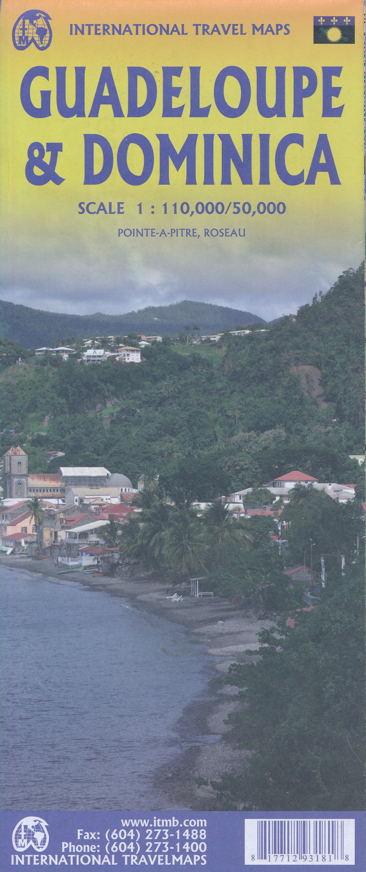
- Wegenkaart - landkaart Guadeloupe & Dominica | ITMB
- The country of Guadeloupe (1:110,000) actually consists of six islands, with the main island being divided by a narrow peninsula into Basse-Terre and Grand-Terre. It is a French possession, so uses the Euro as its currency. The other touristic island is Marie-Galante, which one reaches by ferry from the capital city of Pointe-a-Pitre. There is... Read more
- Also available from:
- Stanfords, United Kingdom
Stanfords
United Kingdom
United Kingdom
- Guadeloupe & Dominica ITMB
- The country of Guadeloupe (1:110,000) actually consists of six islands, with the main island being divided by a narrow peninsula into Basse-Terre and Grand-Terre. It is a French possession, so uses the Euro as its currency. The other touristic island is Marie-Galante, which one reaches by ferry from the capital city of Pointe-a-Pitre. There is... Read more
De Zwerver
Netherlands
Netherlands
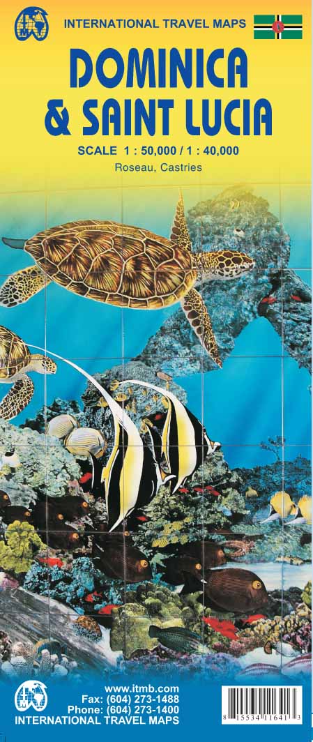
- Wegenkaart - landkaart Dominica - Santa Lucia | ITMB
- Dominica and Saint Lucia on a double-sided map from ITMB showing each island on one side accompanied by street plans of Roseau and Castries respectively. The islands’ topography is shown by contours and altitude colouring.On one side is Dominica at 1:50,000. Contour lines are at 25m intervals. The Waiukubuli National Hiking Trail is prominently... Read more
- Also available from:
- Stanfords, United Kingdom

Stanfords
United Kingdom
United Kingdom
- Dominica & Saint Lucia ITMB
- Dominica and Saint Lucia on a double-sided map from ITMB showing each island on one side accompanied by street plans of Roseau and Castries respectively. The islands’ topography is shown by contours and altitude colouring.On one side is Dominica at 1:50,000. Contour lines are at 25m intervals. The Waiukubuli National Hiking Trail is prominently... Read more
De Zwerver
Netherlands
Netherlands
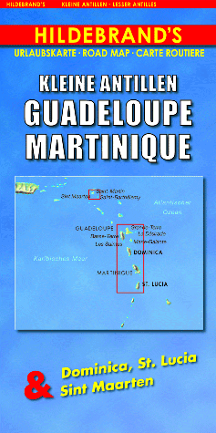
- Wegenkaart - landkaart Kleine Antillen - Guadeloupe, Martinique & Dominica, St. Lucia & Sint Maarten | Hildebrand's
- Indexed maps at various scales portraying Martinique, Dominica, St. Lucia, St. Martin, St Barthélemy and Guadeloupe (La Désirade, Les Saintes and Marie-Galante in insets). The most striking characteristic is the vivid representation of the general relief, using hill-shading. Some peak heights are marked and national parks, and reefs are shown.... Read more
- Also available from:
- Stanfords, United Kingdom

Stanfords
United Kingdom
United Kingdom
- Lesser Antilles: Guadeloupe and Martinique
- Indexed maps at various scales portraying Martinique, Dominica, St. Lucia, St. Martin, St Barthélemy and Guadeloupe (La Désirade, Les Saintes and Marie-Galante in insets). The most striking characteristic is the vivid representation of the general relief, using hill-shading. Some peak heights are marked and national parks, and reefs are shown.... Read more

Stanfords
United Kingdom
United Kingdom
- Antigua & Dominica ITMB
- Dominica at 1:50,000 with Antigua at 1:35,000, each shown on one side of a map from ITMB indexed and accompanied by street plans of Roseau plus St John’s and the English Harbour area respectively. Road network is presented on a base showing the islands’ topography by contours and altitude colouring.Symbols indicate various places of interest... Read more

Stanfords
United Kingdom
United Kingdom
- Caribbean Islands East & South ITMB Travel Atlas
- The islands of the eastern and southern Caribbean presented by ITMB in a handy size, A5, paperback, indexed atlas with city centre street plans of main cities. The mapping is taken from ITMB’s extensive coverage of the region on individual country maps, so scales vary.The atlas covers: Antigua and Barbuda (1:35,000/25,000, with street plans of... Read more

Stanfords
United Kingdom
United Kingdom
- Dominica
- Dominica at 1:40,000 on a map from the Caribbean-based cartographer Michal Kasprowski highlighting 41 diving sites, plus indexed street plans of the Lagon - Portsmouth - Glanvilla, Méro - St. Joseph, Roseau, and Wallhouse -Loubiere areas. Road network highlights main roads and shows secondary roads and local tracks or footpaths. Symbols... Read more