
Himalayas
Beschreibung
Links
Fakten
Berichte
Führer und Karten
Übernachtung
Organisationen
Reisebüros
GPS
Sonstiges
Bücher


The Book Depository
United Kingdom
United Kingdom
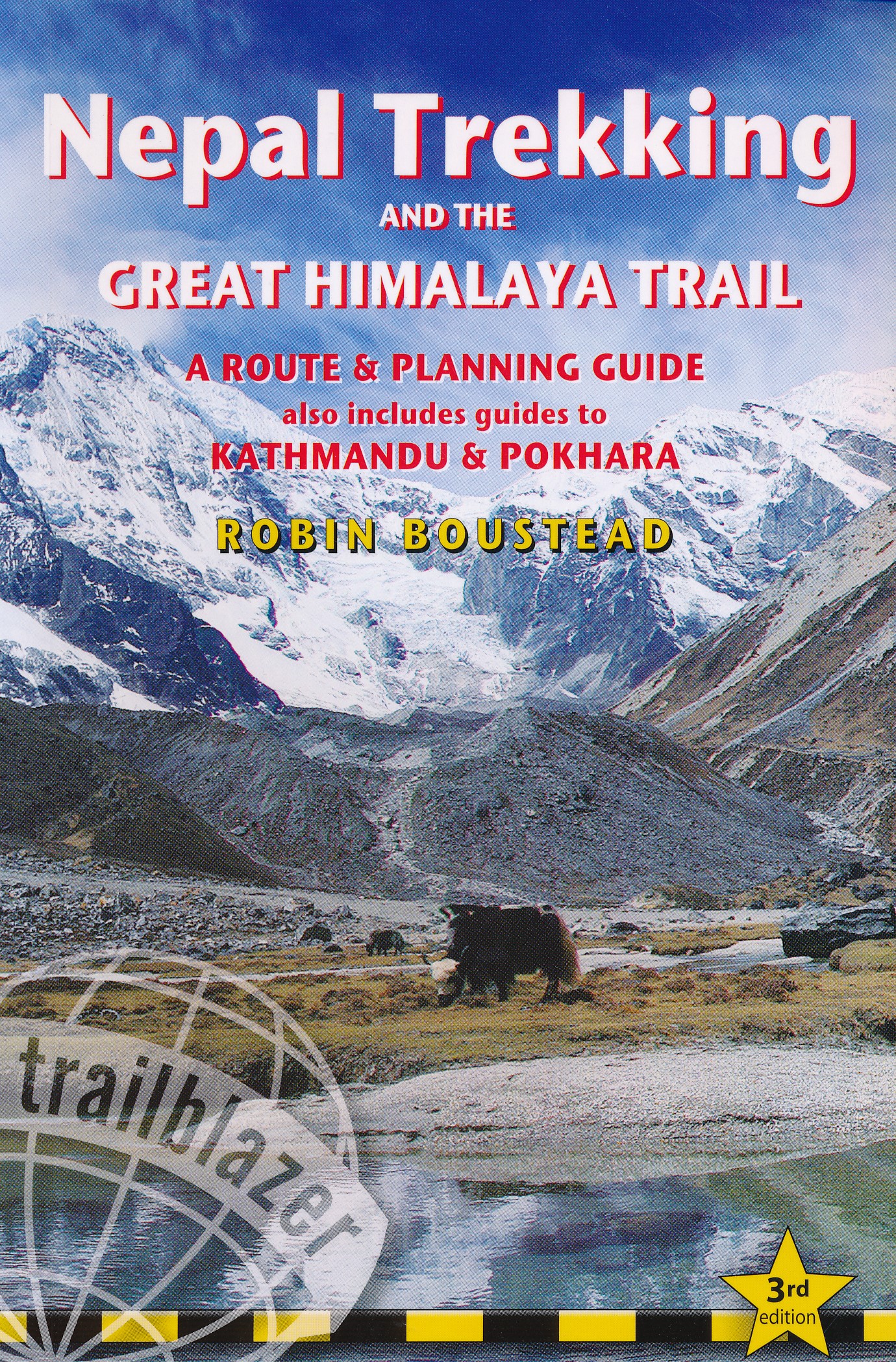
- Nepal Himalaya: The Most Mountainous of a Singularly Mountainous Country
- The Most Mountainous of a Singularly Mountainous Country Read more

The Book Depository
United Kingdom
2020
United Kingdom
2020
- Also available from:
- De Zwerver, Netherlands


The Book Depository
United Kingdom
United Kingdom
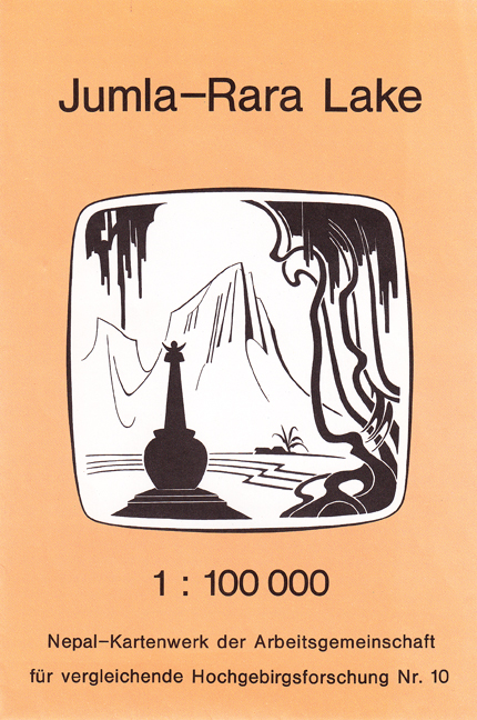
- The Great Himalaya Trail N3
- The Rara, Jumla & Mugu Section Read more


The Book Depository
United Kingdom
2018
United Kingdom
2018
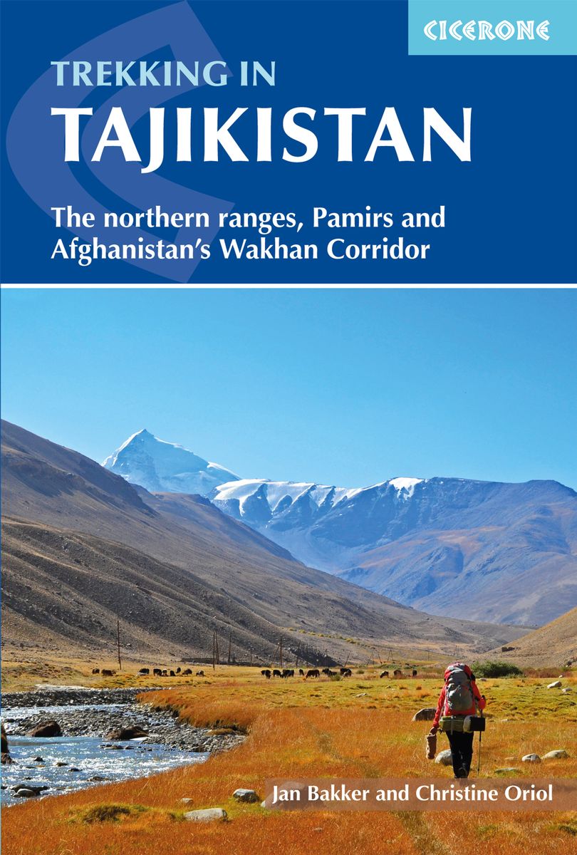
- Trekking in Tajikistan
- The northern ranges, Pamirs and Afghanistan's Wakhan Corridor Read more
- Also available from:
- De Zwerver, Netherlands
- Stanfords, United Kingdom
De Zwerver
Netherlands
2019
Netherlands
2019
- Wandelgids Trekking in Tajikistan - Tadzjikistan | Cicerone
- Guidebook to trekking in Tajikistan and Afghanistan. Contains 21 treks exploring 5 different mountain areas, including the Northern Ranges, Pamir Mountains and Afghanistan's Wakhan Corridor. Also includes a handful of shorter day hikes. With advice on trekking, backpacking equipment, permits and visas, and transport. Read more

Stanfords
United Kingdom
2018
United Kingdom
2018
- Trekking in Tajikistan: The northern ranges, Pamirs and Afghanistan`s Wakhan Corridor
- This guide describes twenty high-altitude treks of 2-9 days in the mountains of Tajikistan, covering the Fann Mountains, Pamirs and northern ranges, plus five day hikes near the capital, Dushanbe, and a 10-day trek in the Afghan Wakhan Corridor. As well as detailed route description and 1:100,000 mapping for each trek, there is a wealth of... Read more


- Also available from:
- Stanfords, United Kingdom

Stanfords
United Kingdom
United Kingdom
- From the Lion`s Mouth: A Journey Along the Indus
- Shortlisted for the 2020 Edward Stanford Travel Writing Award`s Steppes Travel Adventure Travel Book of the YearIain Campbell has been fascinated by mountains for as long as he can remember. In his new book, he tells the story of a journey following the course of the Indus River from its mouth in the mudflats of Karachi through the Karakorum,... Read more

The Book Depository
United Kingdom
2013
United Kingdom
2013
- A Walk in the Clouds
- 75 short stories of adventures among the mountains of the world Read more
De Zwerver
Netherlands
2018
Netherlands
2018
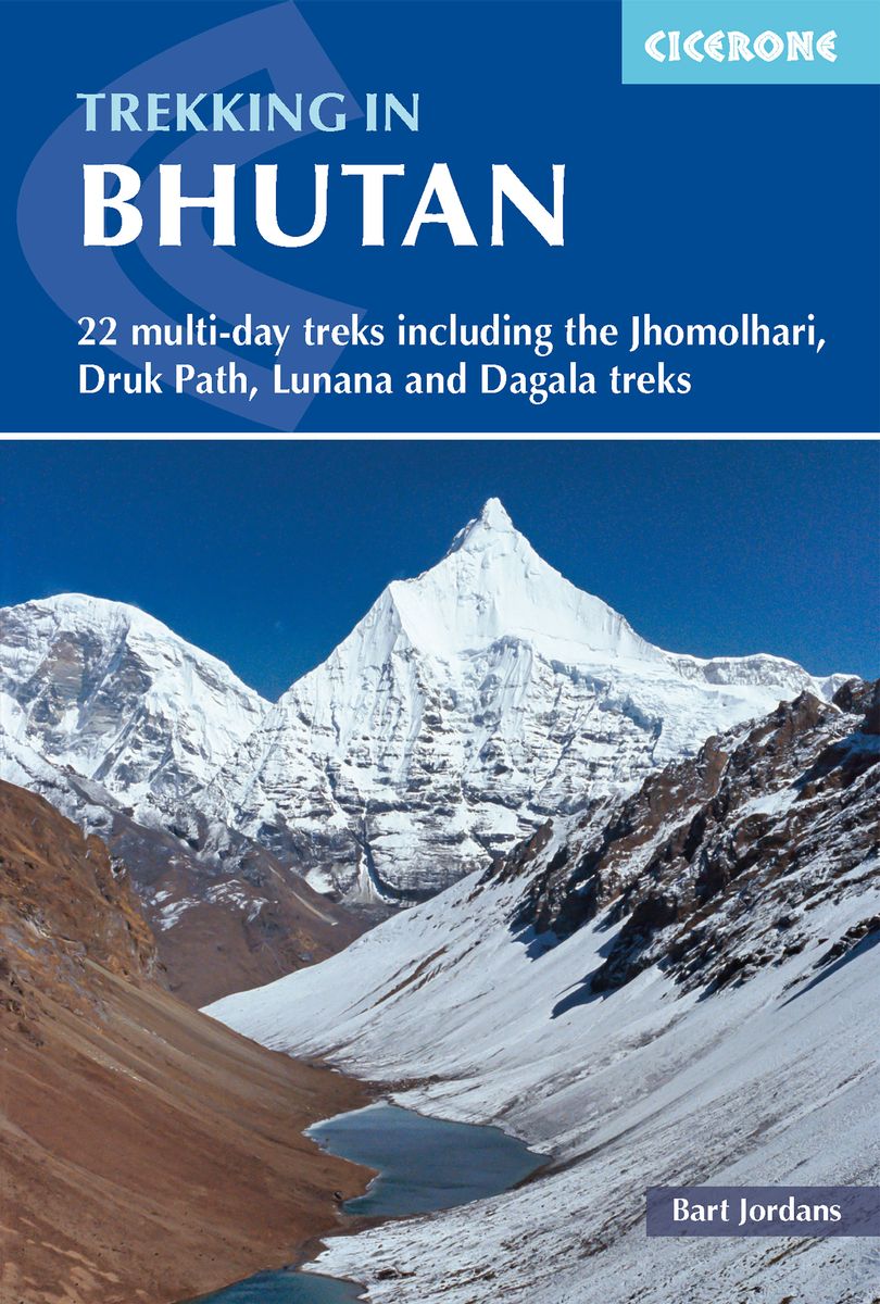
- Wandelgids Trekking in Bhutan | Cicerone
- A guidebook to 22 multi-day treks in the Himalayan Kingdom of Bhutan, including the Jhomolhari, Druk Path and Dagala treks. The trails vary from 2 to 23 days long. The routes are mostly in western and central Bhutan, and range from easy to strenuous depending on the length, altitude and difficulty. Includes advice on cultural awareness. Read more
Karten
De Zwerver
Netherlands
Netherlands
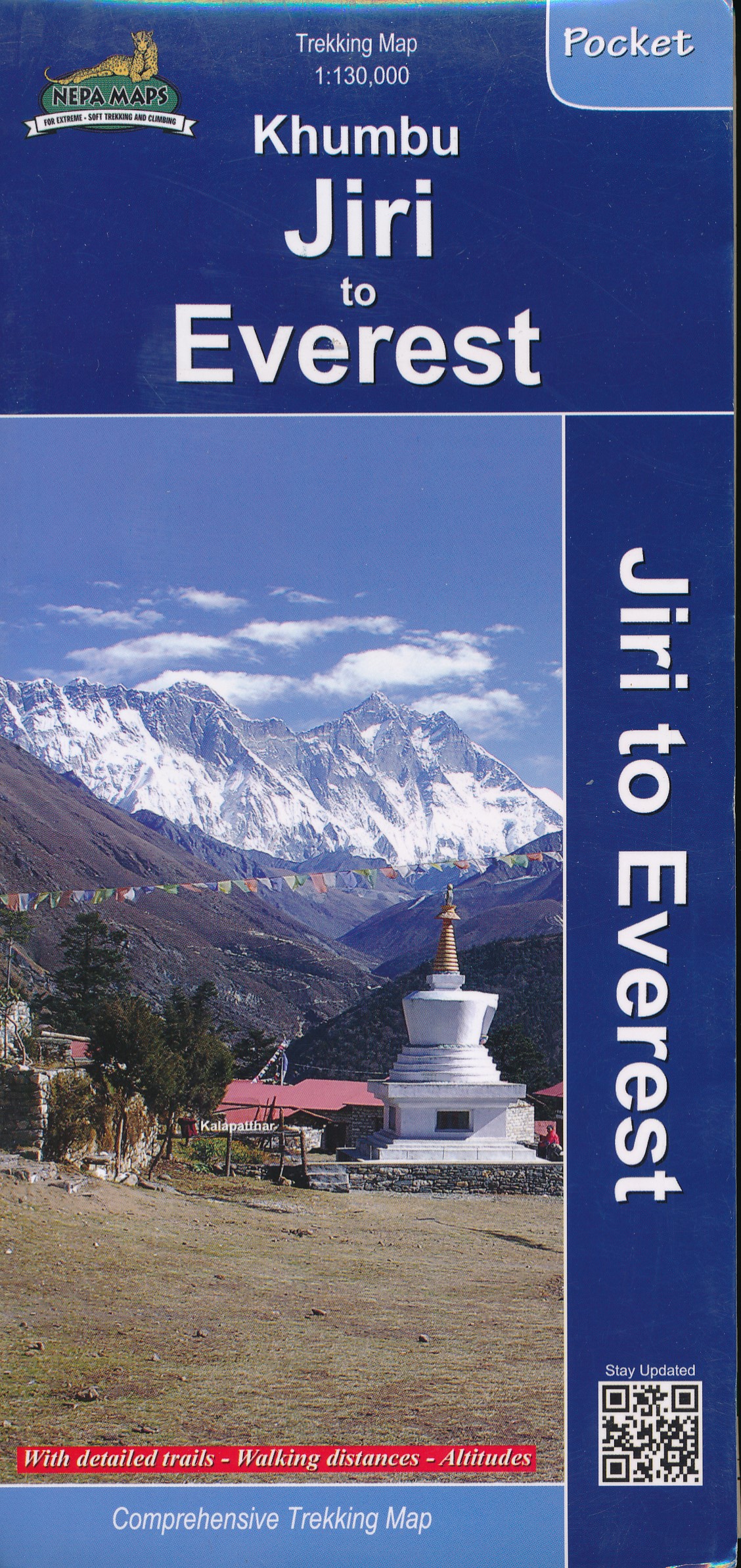
- Wandelkaart Khumbu - Jiri to Everest pocket map | Himalayan Maphouse
- Handige pocket map voor het hele gebied voor de Everest trek naar het Base Camp vanaf zowel Jiri als ook vanaf Phaplu of Lukla. Een beetje grove schaal, maar juist voor het overzicht een ideale kaart. Ook de trekkings in Rolwaling vind je hier op terug. Read more
De Zwerver
Netherlands
Netherlands
De Zwerver
Netherlands
Netherlands
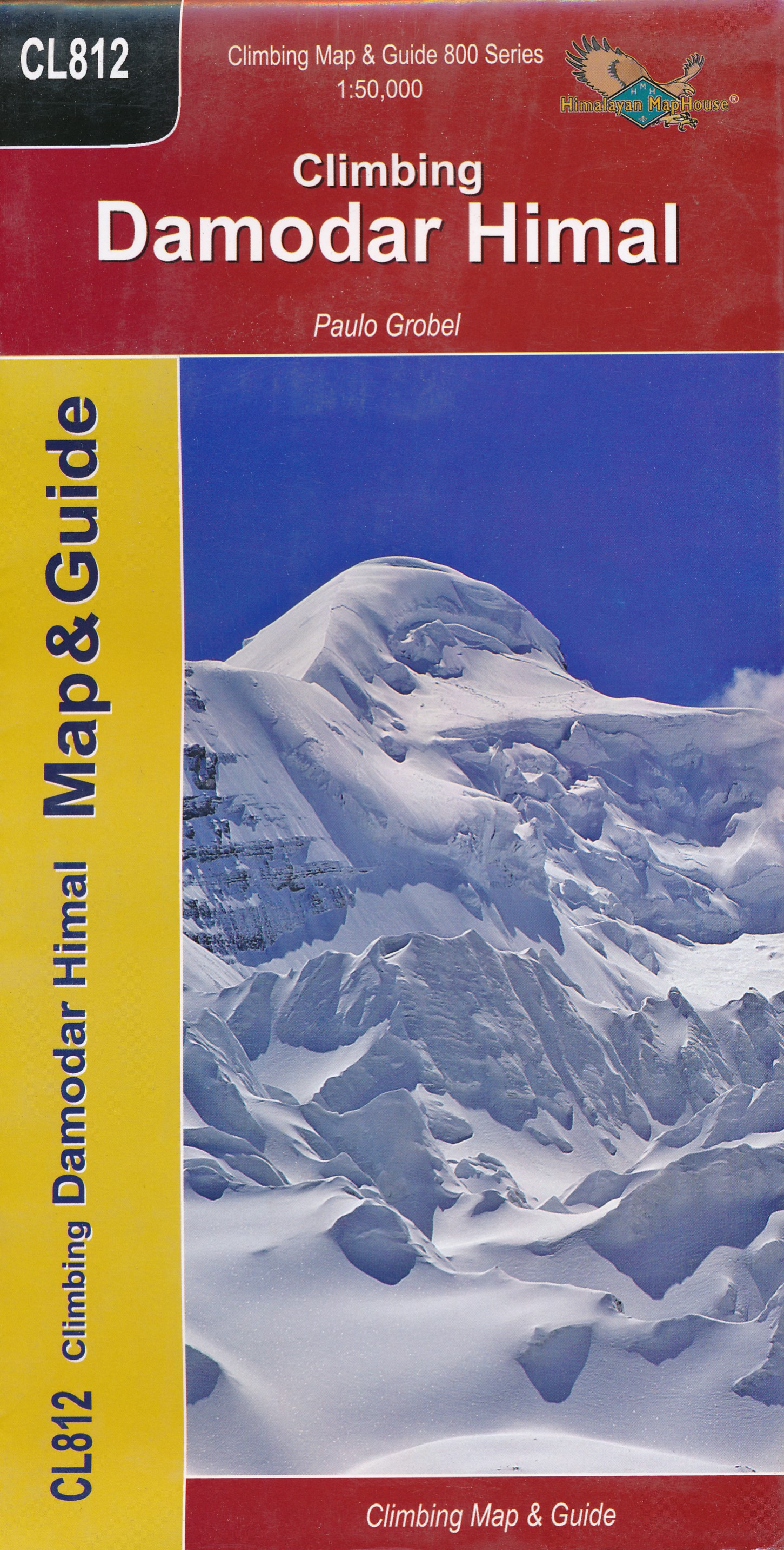
- Wandelkaart CL812 Climbing Damodir Himal - Saribung | Himalayan Maphouse
- Damodar Himal on the northern edge of the Annapurna Conservation area presented by Nepa Maps at 1:50,000 on a map extending from Phu northwards to the Gaurigi and Bhrikuti peaks and west to Muktinath and Ghiling (Geling). Contours are at 40m intervals, with heights for numerous peaks and colouring for the glaciated areas. The map highlights... Read more
- Also available from:
- Stanfords, United Kingdom

Stanfords
United Kingdom
United Kingdom
- Damodar Himal
- Damodar Himal on the northern edge of the Annapurna Conservation area presented by Nepa Maps at 1:50,000 on a map extending from Phu northwards to the Gaurigi and Bhrikuti peaks and west to Muktinath and Ghiling (Geling). Contours are at 40m intervals, with heights for numerous peaks and colouring for the glaciated areas. The map highlights... Read more
De Zwerver
Netherlands
Netherlands
De Zwerver
Netherlands
Netherlands
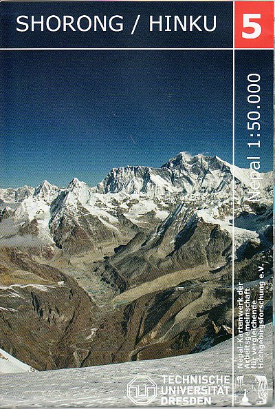
- Wandelkaart 05 Nepal Shorong - Hinku | Nepal Kartenwerk
- Shorong - Hinku region of Nepal at 1:50,000 on a waterproof and tear-resistant map in the famous Schneider series, revised in 2013 to include extensive tourist information for trekking routes in the area directly south of the Sagarmatha National Park. Centered on Lukla, coverage extends north to Namche Bazaar and south just beyond Kharikhola... Read more
- Also available from:
- Stanfords, United Kingdom

Stanfords
United Kingdom
United Kingdom
- Shorong - Hinku
- Shorong - Hinku region of Nepal at 1:50,000 on a waterproof and tear-resistant map in the famous Schneider series, revised in 2013 to include extensive tourist information for trekking routes in the area directly south of the Sagarmatha National Park. Centered on Lukla, coverage extends north to Namche Bazaar and south just beyond Kharikhola... Read more
- Also available from:
- Stanfords, United Kingdom

Stanfords
United Kingdom
2020
United Kingdom
2020
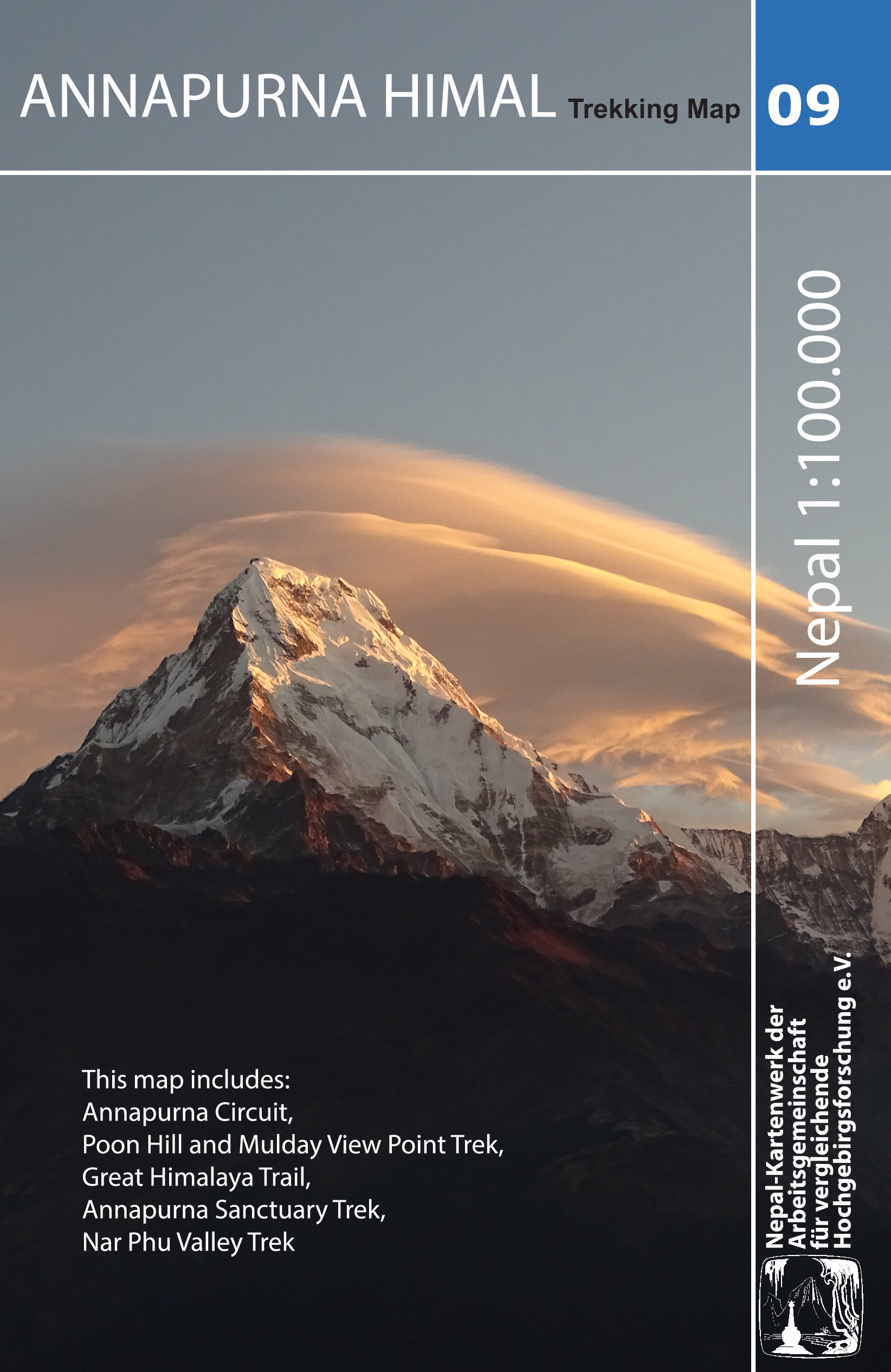
- Annapurna Himal
- Annapurna region at 1:100,000 in a series of detailed topographic maps of selected trekking areas of Nepal originally prepared by E. Schneider and now edited by the German Scientific Association of Comparative High-Mountain Research (Arbeitsgemeinschaft für vergleichende Hochgebirgsforschung). The map covers the whole of the Annapurna Circuit,... Read more
De Zwerver
Netherlands
Netherlands
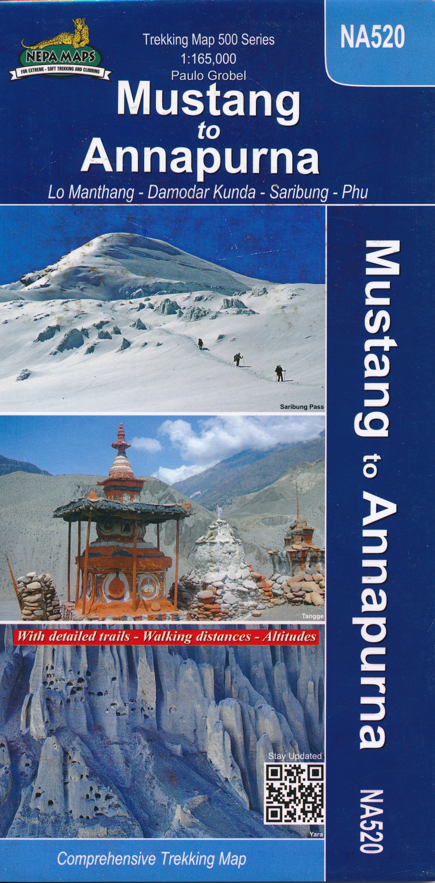
- Wandelkaart NP108 Mustang - Nepal | Himalayan Maphouse
- Mustang, map no. 108, at 1:100,000 on a waterproof and tear-resistant trekking map from the Himalayan MapHouse in their series covering the whole of northern Nepal. The map shows the region north of the upper section of the Annapurna Circuit, beyond Jomsom/Jomosom and Muktinath, and highlights the route to Garphu, the Mustang to Phu trek, the... Read more